
Gardens · Yorkshire & the Humber
Former Stalybridge Town Hall
In or near Old Glossop.
Former Stalybridge Town Hall — a garden in england-west-midlands, United Kingdom.

michael ely — CC BY-SA 2.0 via Wikimedia Commons licence

Plan your visit
- Typical visit
- 1 h–2.5 h
- Best time of year
- Spring & summer (Apr–Sep)
- Nearest railway station
- Stalybridge · 0.5 km
- Dog-friendly
About
Former Stalybridge Town Hall is a garden of interest in england-west-midlands, United Kingdom — drawn from open-data sources for visitor reference. See the linked Wikipedia article for the full description.
Photo gallery
See it from the streetimagery from 2025
Imagery © Mapillary contributors, CC BY-SA 4.0
Protected designations
- Site of Special Scientific Interest: Huddersfield Narrow Canal SSSI
Designations sourced from Natural England open data under OGL v3.
From the Wikipedia article
Stalybridge Town Hall was a municipal building in Stamford Street, Stalybridge, Greater Manchester, England. The building, which was the meeting place of Stalybridge Borough Council, was a Grade II listed building.
Excerpt from Wikipedia under CC BY-SA 4.0. See the source article linked in Sources below.
Background
History
Following a significant increase in population, largely associated with the cotton industry, Stalybridge became an independent town with its own board of commissioners appointed under the Stalybridge Police and Market Act 1828. In this context the town commissioners decided to procure a new town hall on a plot of land between Waterloo Road and Stamford Street. The new building was designed by Fairbairn & Lillie in the neoclassical style, built in ashlar stone and was officially opened on 30 December 1831. The design involved a three-storey symmetrical main frontage of three bays facing Waterloo Road; the ground floor featured a flush portico with three round headed openings separated by…
Sourced from Wikipedia under CC BY-SA 4.0.
- Coordinates
- 53.4840, -2.0560
- District
- Tameside
- Parish
- Tameside, unparished area
- Postcode
- SK15 2BN
- Parliamentary constituency
- Stalybridge and Hyde
- Established
- 1831
- Nearest railway station
- Stalybridge — 0.5 km
- Official site
- www.tameside.gov.uk
Sources
- wikidata: Q26320765 (CC0)
- wikipedia: Stalybridge Town Hall (CC BY-SA 4.0)
Other places nearby

Stalybridge War Memorial
Public art & sculpture · 0.0 km

Astley Cheetham Art Gallery
Museums · 0.1 km

Hippodrome & Grand Theatre
Theatres · 0.2 km
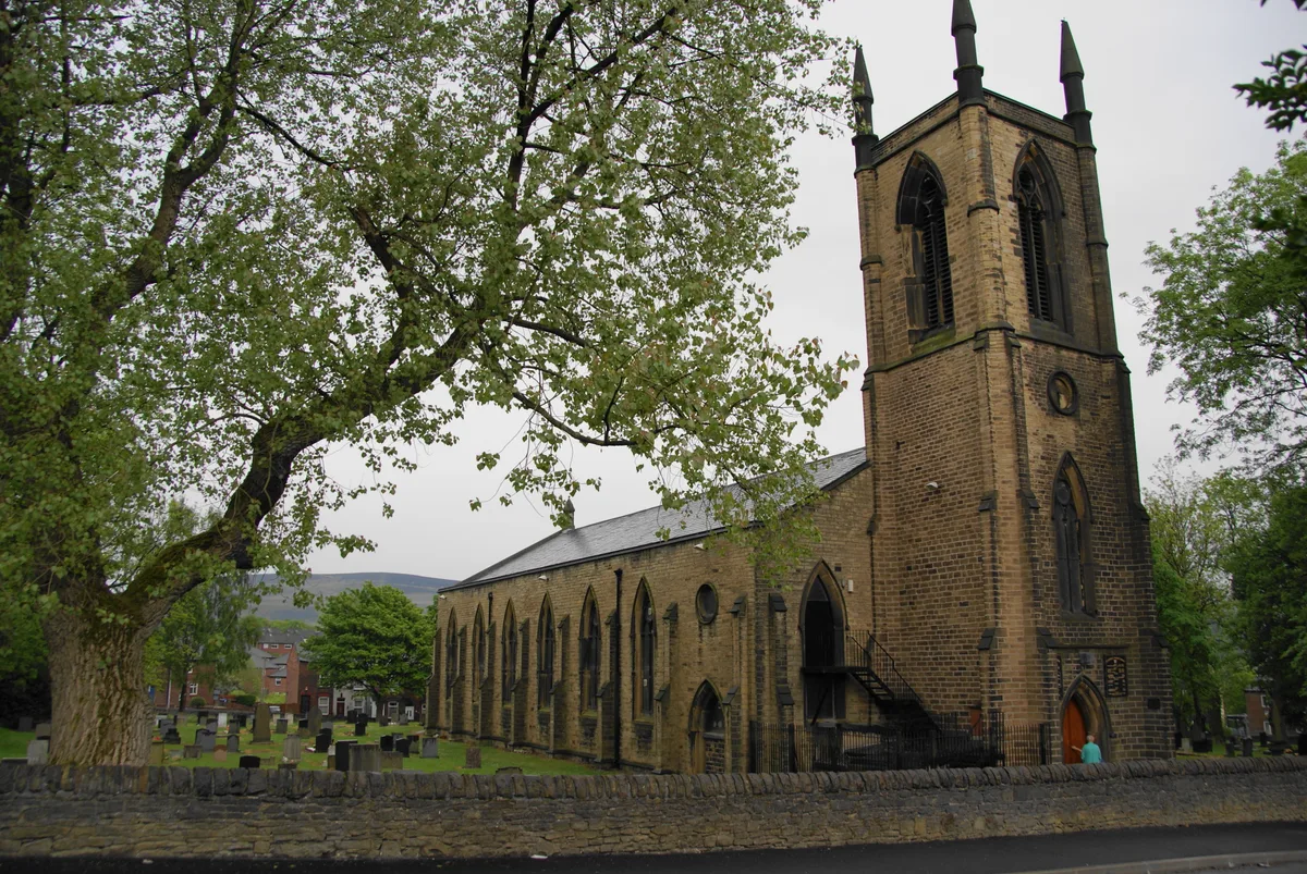
St George's Church, Stalybridge
Historic churches · 0.4 km

Oddfellows Hall Cinema
Theatres · 0.5 km

Eastwood Nature Reserve
Wildlife reserves · 0.8 km

Gorse Hall
Historic houses · 0.8 km

Stalybridge
Castles · 1.1 km

Hough Hill
Mountains & hills · 1.2 km

St John's Church, Dukinfield
Historic churches · 1.3 km

Lord Wright
Memorials & monuments · 1.7 km

Tame Valley War Memorial
Memorials & monuments · 1.9 km
Nearby
📷 4Public art & sculpture · North West England
Stalybridge War Memorial
Stalybridge War Memorial in England North West, United Kingdom.
📷 3Museums · Yorkshire & the Humber
Astley Cheetham Art Gallery
Astley Cheetham Art Gallery — a museum in england-west-midlands, United Kingdom.
📷 3Theatres · North West England
Hippodrome & Grand Theatre
Hippodrome & Grand Theatre in England North West, United Kingdom.
📷 3Historic churches · Yorkshire & the Humber
St George's Church, Stalybridge
St George's Church, Stalybridge — grade II listed church in Tameside, Greater Manchester, England, UK.
📷 3Theatres · North West England
Oddfellows Hall Cinema
Oddfellows Hall Cinema in England North West, United Kingdom.
📷 3Wildlife reserves · Yorkshire & the Humber
Eastwood Nature Reserve
Eastwood Nature Reserve is a wildlife reserve in the United Kingdom.
Where to eat & stay near Former Stalybridge Town Hall
Places to stay
 📷 5
📷 5 📷 5
📷 5Campsites · East Midlands
Crossgate Farm Campsite
Crossgate Farm Campsite — a campsite in england east midlands.
 📷 5
📷 5Campsites · North West England
Well-i-Hole Farm Caravan and Camping
Well-i-Hole Farm Caravan and Camping — a campsite in england north west.
 📷 5
📷 5Campsites · Yorkshire & the Humber
Boarfold Scout Camp
Boarfold Scout Camp — a campsite in england west midlands.
 📷 5
📷 5Caravan parks · Yorkshire & the Humber
Far Benfield Farm Caravan Storage
Far Benfield Farm Caravan Storage — a caravan park in england west midlands.
 📷 5
📷 5Caravan parks · East Midlands
Windy Harbour Hotel Caravan and Camping Site
Windy Harbour Hotel Caravan and Camping Site — a caravan park in england east midlands.
Places to eat & drink
 📷 7
📷 7 📷 5
📷 5Historic pubs · North West England
Colliers Arms Public House
Colliers Arms Public House in England North West, United Kingdom.
 📷 7
📷 7Historic pubs · East Midlands
The Spinners Arms Public House
The Spinners Arms Public House in England Yorkshire, United Kingdom.
 📷 7
📷 7Historic pubs · North West England
The Plough, Gorton
The Plough, Gorton in England North West, United Kingdom.
 📷 7
📷 7 📷 5
📷 5Historic pubs · East Midlands
The Oakwood and Oakwood Restaurant
The Oakwood and Oakwood Restaurant in England Yorkshire, United Kingdom.
More gardens in this region
 📷 3
📷 3Gardens · Yorkshire & the Humber
Clayton Vale
Clayton Vale — valley in Clayton, Manchester, England, UK.
 📷 4
📷 4Gardens · Yorkshire & the Humber
Houldsworth Working Men's Club
Houldsworth Working Men's Club — a garden in england-west-midlands, United Kingdom.
 📷 4
📷 4Gardens · Yorkshire & the Humber
Millennium House
Millennium House — a garden in england-west-midlands, United Kingdom.
 📷 4
📷 4Gardens · Yorkshire & the Humber
Millington Hall
Millington Hall — a garden in england-west-midlands, United Kingdom.
Frequently asked questions
- Where is Former Stalybridge Town Hall?
- Former Stalybridge Town Hall is in the West Midlands, United Kingdom (postcode SK15 2BN), in the parish of Tameside, unparished area.
- What is Former Stalybridge Town Hall?
- Former Stalybridge Town Hall — a garden in england-west-midlands, United Kingdom.
- How do I get to Former Stalybridge Town Hall?
- The nearest railway station is Stalybridge, about 0.5 km away. Drivers can use postcode SK15 2BN.
- When was Former Stalybridge Town Hall built?
- Built or established in 1831.
- Is Former Stalybridge Town Hall a protected site?
- Yes — Former Stalybridge Town Hall is part of the Huddersfield Narrow Canal SSSI Site of Special Scientific Interest.
- How do I get to Former Stalybridge Town Hall?
- The nearest railway station is Stalybridge, about 0.5 km away. Drivers can navigate to postcode SK15 2BN.