Archaeological sites · South East England
Forest of Bere
Forest of Bere — Royal forest in Hampshire, UK.

Wikimedia Commons contributors — see linked file page for photographer and licence licence
Plan your visit
- Typical visit
- 45 min–1.5 h
- Nearest railway station
- Rowlands Castle · 5.4 km
- Free entry
- Dog-friendly
About
Forest of Bere is an archaeological site in the United Kingdom. Wikidata describes it as: "Royal forest in Hampshire, UK". Coordinates: 50.9000°, -1.0333°.
Photo gallery
From the Wikipedia article
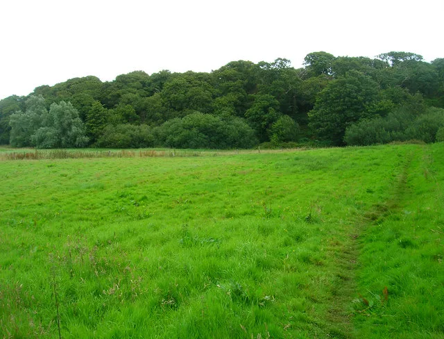
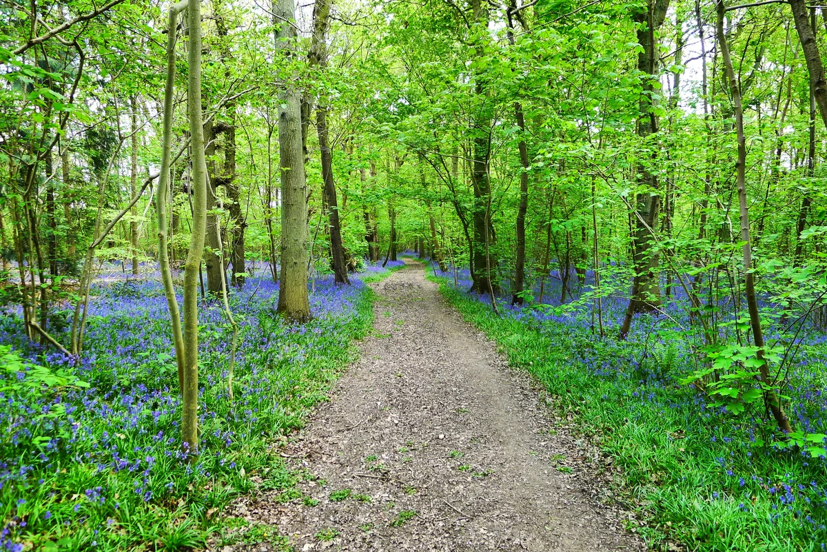
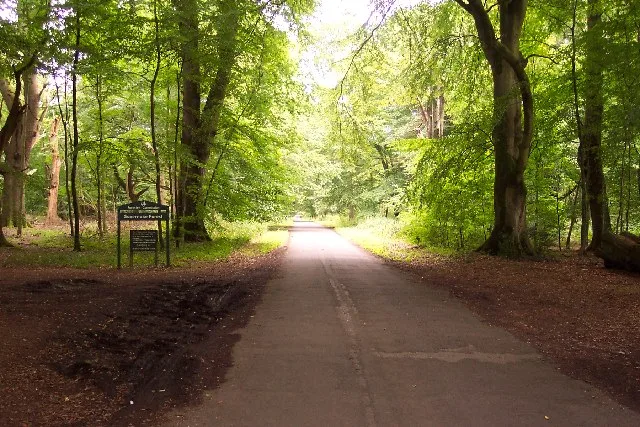
The Forest of Bere is a mixed-use partially forested area in Hampshire immediately north of Fareham, Portsmouth and Roman Road, Havant and including a small part of the South Downs National Park. The former uninterrupted forest is now a mix of woodland, open space, ponds, streams, heathland, farmland and downland interspersed by minor villages and the major settlements of Waterlooville (with Cowplain) and Eastleigh (with Chandlers Ford). There are a number of paths and bridleways for walking and cycling. In the southern portion, towards the area south of the Queen Elizabeth Country Park, conifer plantations were created in the 20th century. Not to be confused with the former royal Forest of Bere in Dorset.
Excerpt from Wikipedia under CC BY-SA 4.0. See the source article linked in Sources below.
Background
History
by J.M.W. Turner, 1808]] In the 13th and 14th centuries, two royal forests formed a greater forerunner of the later vestigial forest between the New Forest and the Sussex border. North of Southampton between the rivers Test and Itchen was the Royal Forest of Bere Ashley. North of Portsmouth between the River Meon and the suburb of Bedhampton was the Royal Forest of Bere Portchester.
Sourced from Wikipedia under CC BY-SA 4.0.
- Coordinates
- 50.9000, -1.0333
- County
- Hampshire
- District
- Havant
- Parish
- Havant, unparished area
- Postcode
- PO8 8QF
- Parliamentary constituency
- Fareham and Waterlooville
- Nearest railway station
- Rowlands Castle — 5.4 km
Sources
- wikidata: Q5469155 (CC0)
- wikipedia: Forest of Bere (CC BY-SA 4.0)
- commons: The Queen's Inclosure, Cowplain - geograph.org.uk - 35983.jpg (CC BY-SA 4.0)
Other places nearby
Loading nearby places…
Nearby
 📷 5
📷 5Museums · South East England
Cowplain
Cowplain — a museum in england-south-east, United Kingdom.
 📷 5
📷 5Museums · South East England
River Wallington
River Wallington — a museum in england-south-east, United Kingdom.
 📷 5
📷 5Public art & sculpture · South East England
Waterrlooville Columns
Waterrlooville Columns — a public art in england-south-east, United Kingdom.
 📷 5
📷 5Museums · South East England
Waterlooville
Waterlooville — a museum in england-south-east, United Kingdom.
 📷 5
📷 5Cemeteries · South East England
Hulbert Road Cemetery
Hulbert Road Cemetery is a cemetery in the United Kingdom.
 📷 5
📷 5Memorials & monuments · South East England
Horndean Remembers
Horndean Remembers — a memorial in england-south-east, United Kingdom.
More archaeological sites in this region
 Flagship📷 6
Archaeological sites · South East England
America Wood
America Wood — biological Site of Special Scientific Interest on the Isle of Wight.
 Flagship📷 10
Archaeological sites · South East England
Bisham Woods
Bisham Woods — woodland in Berkshire, England.
 Flagship📷 10
Archaeological sites · South East England
Savernake Forest
Savernake Forest — 4500 acre forest in Wiltshire, England.
 📷 5
📷 5Archaeological sites · South East England
A quadrangular castle and its landscaped setting, an associated millpond, medieval crofts and cultivation earthworks, and a World War II pillbox at Bodiam
A quadrangular castle and its landscaped setting, an associated millpond, medieval crofts and cultivation earthworks, and a World War II pillbox at Bodiam — archaeological site in Bodiam, Rother, England, UK.
Frequently asked questions
- Where is Forest of Bere?
- Forest of Bere is in South East England, in the United Kingdom — coordinates 50.9000°, -1.0333°. The nearest railway station is Rowlands Castle, around 5.4 km away.
- Is Forest of Bere free to visit?
- Yes — admission to Forest of Bere is free.