
Forests & woodlands · North East England
Forest Hall railway station
In or near Benton.
Forest Hall railway station in England North East, United Kingdom.

Paul Franks — CC BY-SA 2.0 via Wikimedia Commons licence

Plan your visit
- Typical visit
- 1 h–3 h
- Nearest railway station
- Benton · 0.9 km
- Free entry
- Family-friendly
- Dog-friendly
About
Forest Hall railway station is a place of interest in England North East, United Kingdom — drawn from open-data sources for visitor reference. See the linked Wikipedia article for the full description.
Photo gallery
Protected designations
- Site of Special Scientific Interest: Northumberland Shore SSSI
Designations sourced from Natural England open data under OGL v3.
From the Wikipedia article
Forest Hall was a railway station that served the village of Forest Hall in the borough of North Tyneside, Tyne and Wear, England. It was located on the East Coast Main Line and was open from 1856 to 1958. It was originally known as Benton. It should not be confused with the short-lived Forest Hall railway station on the Blyth and Tyne Railway, which opened in 1864 and closed in 1871.
Excerpt from Wikipedia under CC BY-SA 4.0. See the source article linked in Sources below.
Background
History
The station was opened as Benton in February 1856 by the North Eastern Railway. It was situated north of the level crossing behind 'The Flying Scotsman' public house. There were no goods sidings at Forest Hall but the RCH Handbook of Sidings indicates that goods traffic was handled at the station, which may have been small items that could have been dealt with at the passenger platforms. On 1 December 1874, the station's name was changed to Forest Hall to avoid confusion with the Benton station on the Blyth and Tyne Railway, which had been acquired by the North Eastern Railway in that year. In 1951, only 1,928 tickets were sold in the year; less than 6 a day. This inevitably lead to the…
Sourced from Wikipedia under CC BY-SA 4.0.
- Coordinates
- 55.0220, -1.5682
- District
- North Tyneside
- Parish
- North Tyneside, unparished area
- Postcode
- NE12 7JL
- Parliamentary constituency
- Newcastle upon Tyne North
- Nearest railway station
- Benton — 0.9 km
Sources
- wikidata: Q28970372 (CC0)
- wikipedia: Forest Hall railway station (CC BY-SA 4.0)
Other places nearby
Forest Hall
Forests & woodlands · 0.1 km

Longbenton
Villages · 0.5 km

Longbenton Community College
Other places · 0.5 km

Dial Cottage
Historic houses · 0.7 km

Dial Cottage (George Stevensons Listed Home)
Memorials & monuments · 0.7 km
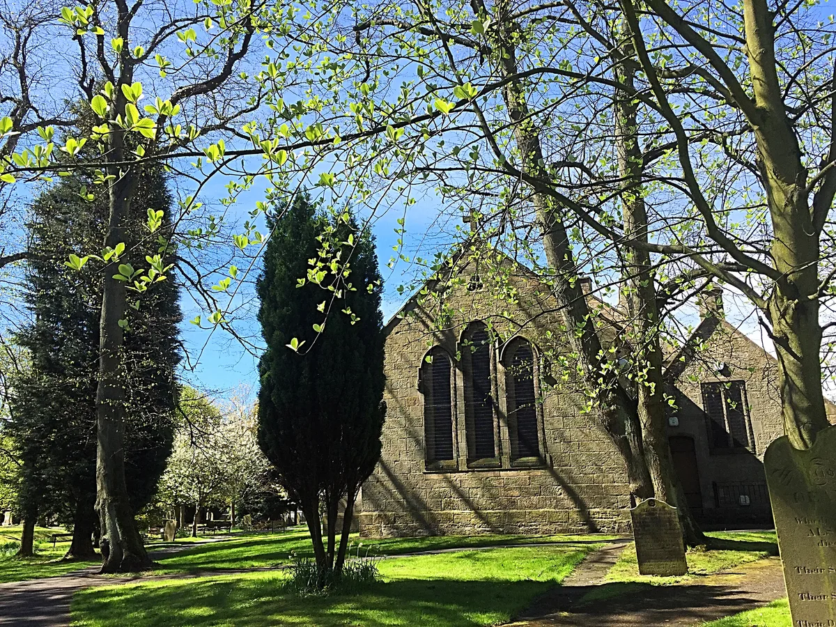
St Bartholomew's Church, Long Benton
Historic churches · 0.7 km
Benton Cemetery
Cemeteries · 0.7 km

1914-18 War Memorial In St Bartholomew's Churchyard, Longbenton
Memorials & monuments · 0.7 km

West Moor
Natural landmarks · 0.8 km
Royal Artillery War Memorial 1939-1945
Memorials & monuments · 0.9 km

Killingworth
Forests & woodlands · 1.3 km
Killingworth Colliery Shaft
Memorials & monuments · 1.4 km
Nearby
📷 3Forests & woodlands · North East England
Forest Hall
Forest Hall in England North East, United Kingdom.
📷 5📷 3Other places · North East England
Longbenton Community College
Longbenton Community College in England North East, United Kingdom.
📷 3Historic houses · North East England
Dial Cottage
Dial Cottage — house in Longbenton, Tyne and Wear, England, UK.
📷 3Memorials & monuments · North East England
Dial Cottage (George Stevensons Listed Home)
Dial Cottage (George Stevensons Listed Home) — a memorial in scotland-lowlands, United Kingdom.
📷 3Historic churches · North East England
St Bartholomew's Church, Long Benton
St Bartholomew's Church, Long Benton — church in North Tyneside, Tyne and Wear, England, UK.
Where to eat & stay near Forest Hall railway station
Places to stay
 📷 5
📷 5Hostels · North East England
North Eastern YWCA Hostel
North Eastern YWCA Hostel — a hostel in scotland lowlands.
 📷 5
📷 5 📷 5
📷 5Hotels · North East England
Hotel du Vin
Hotel du Vin — a hotel in scotland lowlands.

Hostels · North East England
Kabannas Newcastle
Kabannas Newcastle — a hostel in scotland lowlands.
 📷 5
📷 5Hotels · North East England
Grey Street Hotel
Grey Street Hotel — a hotel in scotland lowlands.
 📷 5
📷 5Hotels · North East England
Exchange Buildings
Exchange Buildings — a hotel in scotland lowlands.
Places to eat & drink
 📷 5
📷 5Historic pubs · North East England
Border Minstrel
Border Minstrel in Scotland Lowlands, United Kingdom.
 📷 3
📷 3Historic pubs · North East England
Red House Farm
Red House Farm in England North East, United Kingdom.
 📷 5
📷 5Historic pubs · North East England
The Cluny
The Cluny in England North East, United Kingdom.
 📷 5
📷 5Historic pubs · North East England
The Albert Public House
The Albert Public House in England North East, United Kingdom.
 📷 5
📷 5Historic pubs · North East England
Theatre Royal Lounge And Restaurant; The Royal Public House
Theatre Royal Lounge And Restaurant; The Royal Public House in Scotland Lowlands, United Kingdom.
 📷 5
📷 5Historic pubs · North East England
The Cordwainers' Public House
The Cordwainers' Public House in Scotland Lowlands, United Kingdom.
More forests in this region
 📷 3
📷 3Forests & woodlands · North East England
Berwick Hills Nature Reserve
Berwick Hills Nature Reserve is a forest or woodland in the United Kingdom.
 📷 4
📷 4Forests & woodlands · North East England
Maze Park
Maze Park is a forest or woodland in the United Kingdom.
 📷 3
📷 3Forests & woodlands · North East England
Portrack Marsh, Nature Reserve
Portrack Marsh, Nature Reserve is a forest or woodland in the United Kingdom.
 📷 3
📷 3Forests & woodlands · North East England
Saltholme Wildlife Reserve and Discovery Park
Saltholme Wildlife Reserve and Discovery Park is a forest or woodland in the United Kingdom.
Frequently asked questions
- Where is Forest Hall railway station?
- Forest Hall railway station is in North-East England, United Kingdom (postcode NE12 7JL), in the parish of North Tyneside, unparished area.
- What is Forest Hall railway station?
- Forest Hall railway station in England North East, United Kingdom.
- How do I get to Forest Hall railway station?
- The nearest railway station is Benton, about 0.9 km away. Drivers can use postcode NE12 7JL.
- Is Forest Hall railway station a protected site?
- Yes — Forest Hall railway station is part of the Northumberland Shore SSSI Site of Special Scientific Interest.
- Is Forest Hall railway station free to visit?
- Yes, Forest Hall railway station is free to enter.
- How do I get to Forest Hall railway station?
- The nearest railway station is Benton, about 0.9 km away. Drivers can navigate to postcode NE12 7JL.