
Historic bridges · South West England
Ford Bridge
In or near Cotleigh.
Ford Bridge — Grade II listed building-listed bridge in england-south-west, United Kingdom.

Raymond Cubberley — CC BY-SA 2.0 via Wikimedia Commons licence

Plan your visit
- Typical visit
- 15 min–30 min
- Nearest railway station
- Honiton · 3.3 km
- Free entry
- Dog-friendly
Getting there & planning your visit
To visit Ford Bridge, you can reach it from Honiton railway station, which is approximately 3.3 km away. The postcode for the bridge is EX14 9QH, and entry is free.
About
Ford Bridge is a Grade II listed building-listed bridge in england-south-west, United Kingdom, registered on the National Heritage List for England (NHLE entry 1147594). Listed status protects buildings and structures of special architectural or historic interest. See the linked Wikipedia article for further details.
Photo gallery
Heritage listing
The Intercity Bridge, more commonly known as the Ford Parkway Bridge (and sometimes referred to as the 46th Street Bridge by residents of Minneapolis), is a reinforced concrete arch bridge that spans the Mississippi River between Minneapolis, Minnesota and St. Paul, Minnesota, United States. It connects 46th Street in Minneapolis with Ford Parkway in Saint Paul. The bridge is historically significant as one of the largest reinforced concrete bridges ever built in Minnesota. It was built in 1925-1927 by James O. Heyworth, Inc. and was designed by Martin Sigvart Grytbak. The Intercity Bridge was listed on the National Register of Historic Places in 1989.
From the Historic England List Entry under OGL v3.
Protected designations
- Area of Outstanding Natural Beauty: Blackdown Hills
Designations sourced from Natural England open data under OGL v3.
From the Wikipedia article
The Intercity Bridge, more commonly known as the Ford Parkway Bridge (and sometimes referred to as the 46th Street Bridge by residents of Minneapolis), is a reinforced concrete arch bridge that spans the Mississippi River between Minneapolis, Minnesota and St. Paul, Minnesota, United States. It connects 46th Street in Minneapolis with Ford Parkway in Saint Paul. The bridge is historically significant as one of the largest reinforced concrete bridges ever built in Minnesota. It was built in 1925-1927 by James O. Heyworth, Inc. and was designed by Martin Sigvart Grytbak. The Intercity Bridge was listed on the National Register of Historic Places in 1989. It is notable as one of the monumental concrete rib-arch bridges spanning the high river bluffs along the Mississippi River, along with the Franklin Avenue Bridge, the Third Avenue Bridge, the 10th Avenue Bridge, and the Robert Street Bridge. The bridge was originally built to service Ford's Twin Cities Assembly Plant, so Minneapolis residents could commute to the Ford plant. The Ford plant, along with Lock and Dam No. 1, was expected to make the Highland Park area of St. Paul extremely desirable. As part of the planned development, St. Paul expanded the original street, Edsel Avenue, and renamed it Ford Parkway. The bridge project was designed by a committee of politicians and engineers from both Minneapolis and St. Paul and chaired by Charles M. Babcock, Minnesota's first commissioner of highways. The development that was expected as a result of the bridge did not materialize, however, because of the Great Depression and growth in Minneapolis neighborhoods on the opposite side of the bridge. It was not until after World War II that the desired growth in the Highland Park area resulted from the bridge. In 1972-1973, the bridge was redecked and widened, but this did not detract from the historic significance of the bridge. In 2004, the bridge was rebuilt from the arches up. The rebuilding project was given an award by the Minnesota Society of Professional Engineers in 2006.
Excerpt from Wikipedia under CC BY-SA 4.0. See the source article linked in Sources below.
- Coordinates
- 50.8211, -3.1603
- County
- Devon
- District
- East Devon
- Parish
- Monkton
- Postcode
- EX14 9QH
- Parliamentary constituency
- Honiton and Sidmouth
- Nearest railway station
- Honiton — 3.3 km
Sources
- wikidata: Q26440608 (CC0)
- wikipedia: Ford Bridge (CC BY-SA 4.0)
Other places nearby

Monkton
Villages · 0.9 km

Dumpdon Hill
Vineyards · 1.2 km
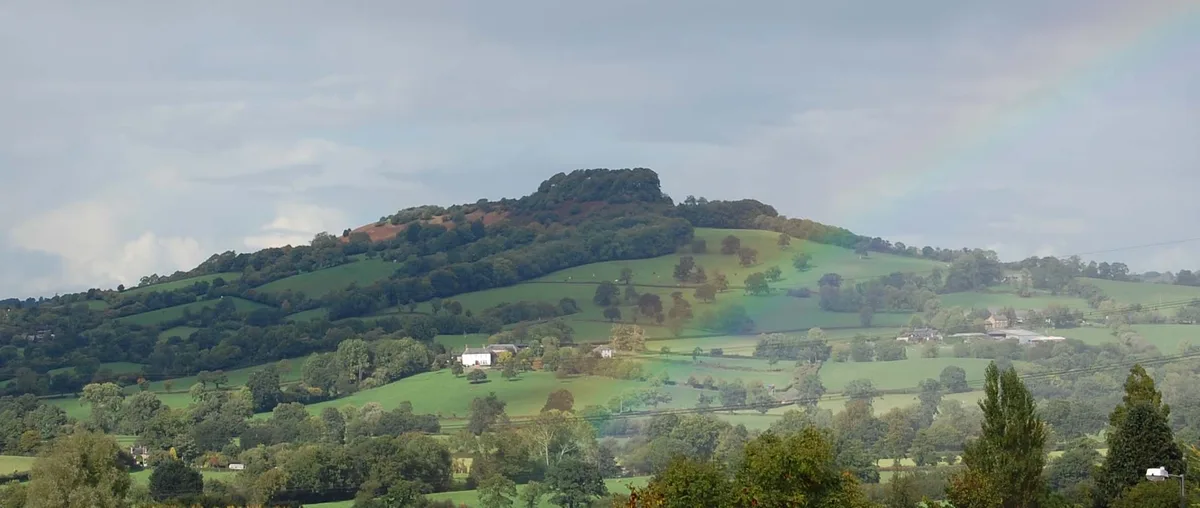
Dumpdon Hill
Mountains & hills · 1.3 km

Langford Bridge
Historic bridges · 1.6 km
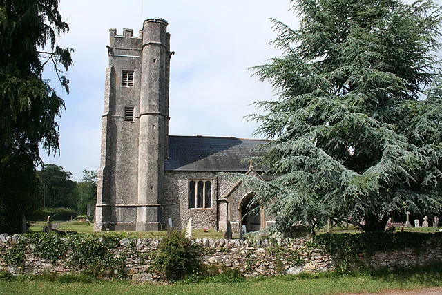
Cotleigh
Towns & cities · 2.5 km

Bishop's Tower
Follies · 2.5 km
_01.jpg?width=1200)
Marwood House
Historic houses · 2.7 km

Carpenter's Hill
Mountains & hills · 3.0 km
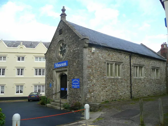
Allhallows Museum
Museums · 3.1 km

Honiton
Museums · 3.1 km

The Railway
Restaurants · 3.1 km

The Star Inn (JD Wetherspoon)
Historic pubs · 3.2 km
Nearby
📷 5📷 5Vineyards · South West England
Dumpdon Hill
Dumpdon Hill — a UK vineyard in england south west, producing English or Welsh wine from cool-climate grape varieties.
📷 5📷 3Historic bridges · South West England
Langford Bridge
Langford Bridge — Grade II listed building-listed bridge in england-south-west, United Kingdom.
Flagship📷 10📷 5Where to eat & stay near Ford Bridge
Places to stay
 📷 7
📷 7B&Bs · South West England
The Honiton Inn
The Honiton Inn — a bed-and-breakfast in england south west.
 📷 5
📷 5 📷 5
📷 5Campsites · South West England
Andrewshayes Holiday Park
Andrewshayes Holiday Park — a campsite in england south west.
 📷 7
📷 7 📷 5
📷 5 📷 5
📷 5Places to eat & drink
📷 5📷 5Historic pubs · South West England
The Star Inn (JD Wetherspoon)
The Star Inn (JD Wetherspoon) in England South West, United Kingdom.
 📷 7
📷 7Historic pubs · South West England
Three Tuns Inn
Three Tuns Inn in England South West, United Kingdom.
 📷 7
📷 7Historic pubs · South West England
White Lion Inn
White Lion Inn in England South West, United Kingdom.
 📷 5
📷 5 📷 5
📷 5More bridges in this region
 📷 5
📷 5Historic bridges · South West England
Avoncliff Aqueduct
Avoncliff Aqueduct is a historic bridge in the United Kingdom.
📷 5Historic bridges · South West England
Avoncliff Aqueduct
Avoncliff Aqueduct is a historic bridge in the United Kingdom.
 📷 5
📷 5Historic bridges · South West England
Bradford Viaduct
Bradford Viaduct is a historic bridge in the United Kingdom.
 📷 5
📷 5Historic bridges · South West England
Chippenham Viaduct
Chippenham Viaduct is a historic bridge in the United Kingdom.
Frequently asked questions
- Where is Ford Bridge?
- Ford Bridge is in Devon, South-West England, United Kingdom (postcode EX14 9QH), in the parish of Monkton.
- What is Ford Bridge?
- Ford Bridge — Grade II listed building-listed bridge in england-south-west, United Kingdom.
- How do I get to Ford Bridge?
- The nearest railway station is Honiton, about 3.3 km away. Drivers can use postcode EX14 9QH.
- Is Ford Bridge a listed building?
- Ford Bridge is officially recognised as Grade II listed building listed.
- Is Ford Bridge a protected site?
- Yes — Ford Bridge is part of the Blackdown Hills National Landscape (AONB).
- Is Ford Bridge free to visit?
- Yes, Ford Bridge is free to enter.
- How do I get to Ford Bridge?
- The nearest railway station is Honiton, about 3.3 km away. Drivers can navigate to postcode EX14 9QH.