
Mountains & hills · North Wales
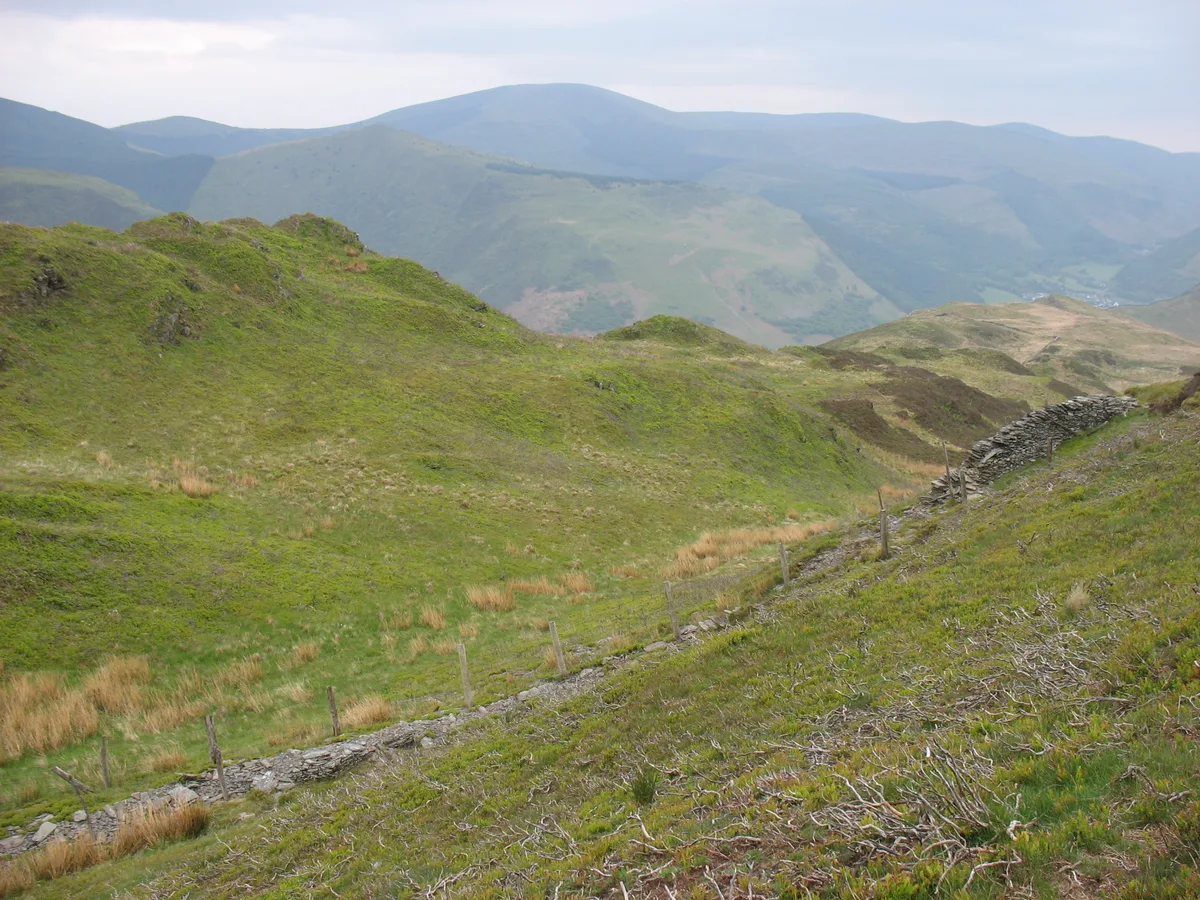
Foel Wen
In or near Dyffryn Ardudwy.
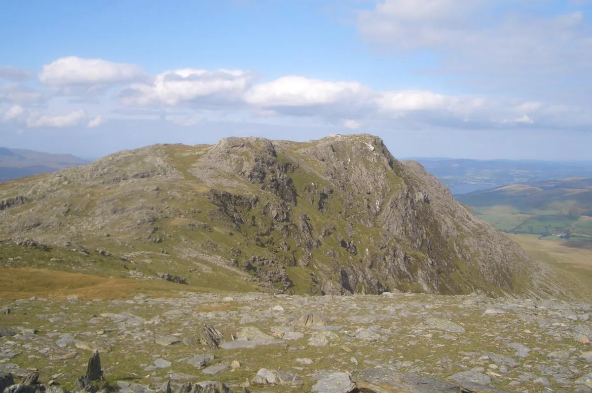
Foel Wen — mountain in wales north. Elevation: 412 m.

Petra — CC BY-SA 2.0 via Wikimedia Commons licence

Plan your visit
- Typical visit
- 3 h–8 h
- Best time of year
- Late spring – early autumn (May–Oct)
- Nearest railway station
- Llanbedr · 5.3 km
- Dog-friendly
About
Foel Wen is a mountain located in wales north. Elevation: 412 m. A named British peak recorded in OpenStreetMap. Peaks are typically named on Ordnance Survey 1:50k mapping.
Photo gallery
Place summary
Foel Wen is a mountain located in North Wales, within the parish of Llanbedr. It is notable for its rugged terrain and scenic views typical of the Snowdonia region. Visitors can expect a variety of walking trails that cater to different skill levels, making it a suitable destination for both casual walkers and experienced hikers. The area is characterised by its natural beauty and is a part of the broader landscape that attracts outdoor enthusiasts.
AI-generated from the structured facts on this page (operator, designation, listing, era). Not a substitute for visiting.
- Coordinates
- 52.8250, -4.0308
- District
- Gwynedd
- Parish
- Llanbedr
- Postcode
- LL45 2PL
- Parliamentary constituency
- Dwyfor Meirionnydd
- Nearest railway station
- Llanbedr — 5.3 km
Sources
- osm: n2923786500 (ODbL)
Other places nearby

Cwm Nantcol
Historic churches · 1.1 km
Foel Ddu
Mountains & hills · 1.2 km

Mynydd Llanbedr
Mountains & hills · 1.5 km

Pont Cwmnantcol
Historic bridges · 1.7 km

Hendre Manganese Mine (disused)
Archaeological sites · 1.8 km

Carreg Fawr
Mountains & hills · 2.0 km

Coastal View from Moelfre
Viewpoints · 2.2 km

Moelfre Manganese Mine (disused)
Archaeological sites · 2.3 km

Pont Crafnant
Historic bridges · 2.3 km

Moelyblithcwm
Mountains & hills · 2.4 km

Nantcol Waterfalls Campsite
Campsites · 2.4 km

Nantcol Waterfalls
Natural landmarks · 2.4 km
Nearby
📷 5Historic churches · North Wales
Cwm Nantcol
Cwm Nantcol — a church in wales-north, United Kingdom.
📷 3📷 5Mountains & hills · North Wales
Mynydd Llanbedr
Mynydd Llanbedr — mountain in wales north. Elevation: 279 m.
📷 5Historic bridges · North Wales
Pont Cwmnantcol
Pont Cwmnantcol — Grade II listed building-listed bridge in wales-north, United Kingdom.
📷 3Archaeological sites · North Wales
Hendre Manganese Mine (disused)
Hendre Manganese Mine (disused) — an archaeological site in North Wales, United Kingdom.
📷 5Where to eat & stay near Foel Wen
Places to stay
📷 5Campsites · North Wales
Nantcol Waterfalls Campsite
Nantcol Waterfalls Campsite — a campsite in wales north.
 📷 5
Campsites · North Wales
Dinas Farm Caravan Park and Camping
Dinas Farm Caravan Park and Camping — a campsite in wales north.
 📷 5
 📷 5
Campsites · North Wales
Tyn-y-pant Camping and Caravaning
Tyn-y-pant Camping and Caravaning — a campsite in wales north.
 📷 5
 📷 5
Caravan parks · North Wales
Murmur yr Afon Caravan Park
Murmur yr Afon Caravan Park — a caravan park in wales north.
Places to eat & drink
 📷 5
 📷 7
 📷 7
 📷 7
 📷 7
 📷 5
Restaurants · North Wales
Dylan's Restaurant
Dylan's Restaurant — a restaurant in wales north. Cuisine: burger;cake;coffee shop;fish;italian;italian pizza;pasta;pizza;seafood.
More mountains in this region
 📷 5
Mountains & hills · North Wales
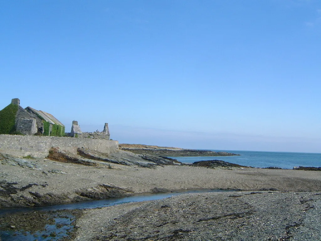
Cemlyn Bay and lagoon
Cemlyn Bay and lagoon — Site of Special Scientific Interest in Wales.
 📷 3
Mountains & hills · North Wales
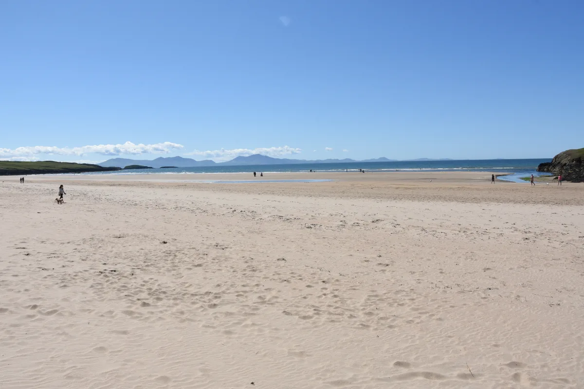
Aberffraw Bay
Aberffraw Bay — bay on the west coast of Anglesey, in Wales, UK.
 📷 3
 📷 3
Mountains & hills · North Wales
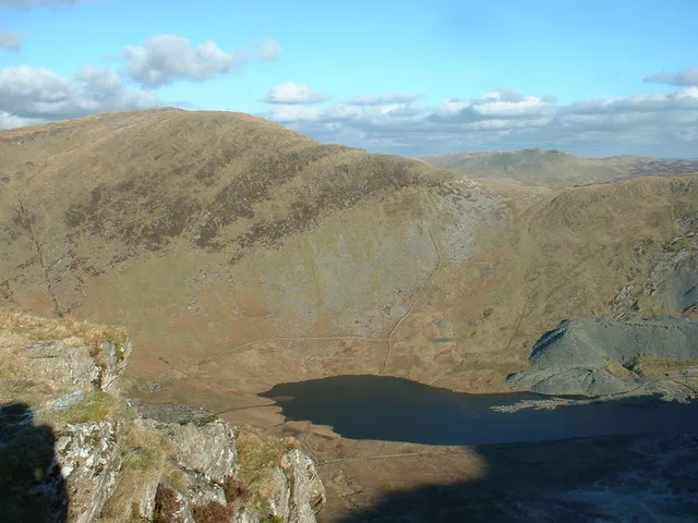
Aran Benllyn
Aran Benllyn — Named summit at 884 m.
Frequently asked questions
- Where is Foel Wen?
- Foel Wen is in North Wales, United Kingdom (postcode LL45 2PL), in the parish of Llanbedr.
- What is Foel Wen?
- Foel Wen — mountain in wales north. Elevation: 412 m.
- How do I get to Foel Wen?
- The nearest railway station is Llanbedr, about 5.3 km away. The nearest town is Dyffryn Ardudwy. Drivers can use postcode LL45 2PL.
- How do I get to Foel Wen?
- The nearest railway station is Llanbedr, about 5.3 km away. Drivers can navigate to postcode LL45 2PL.