Wildlife reserves · South East England
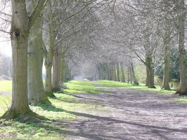
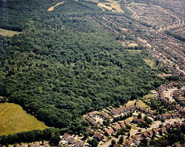
Flatropers Wood
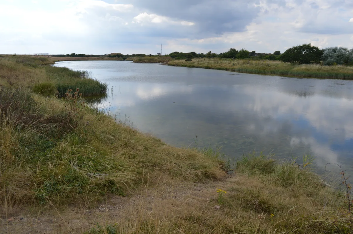
Flatropers Wood is a wildlife reserve in the United Kingdom.

Wikimedia Commons contributors — see linked file page for photographer and licence licence
.jpg)
Plan your visit
- Typical visit
- 2 h–4 h
- Best time of year
- Autumn & winter (migration & wildfowl)
- Nearest railway station
- Northiam · 4.2 km
- Free entry
- Dog-friendly
About
Flatropers Wood is a wildlife reserve in the United Kingdom. Coordinates: 50.9800°, 0.6510°. This entry is part of The Great Britain Guide, a free, ad-free, open-data tourist directory.
Photo gallery
Protected designations
- Area of Outstanding Natural Beauty: High Weald
Designations sourced from Natural England open data under OGL v3.
From the Wikipedia article
Flatropers Wood is a 38-hectare (94-acre) nature reserve in Rye in East Sussex. It is managed by the Sussex Wildlife Trust. The wood is mainly oak and birch, but there are also areas of sweet chestnut and former plantations of Scots pine and beech. The site is notable for its invertebrates, with almost 500 species of moths recorded and the rare oak mining-bee.
Excerpt from Wikipedia under CC BY-SA 4.0. See the source article linked in Sources below.
- Coordinates
- 50.9800, 0.6510
- County
- East Sussex
- District
- Rother
- Parish
- Beckley
- Postcode
- TN31 6TH
- Parliamentary constituency
- Bexhill and Battle
- Nearest railway station
- Northiam — 4.2 km
Sources
- wikidata: Q66491040 (CC0)
- wikipedia: Flatropers Wood (CC BY-SA 4.0)
- commons: In Flatropers Wood (geograph 2358209).jpg (CC BY-SA 4.0)
Other places nearby
Loading nearby places…
Nearby
.jpg?width=1200) 📷 5
📷 5Forests & woodlands · South East England
Flatroper's Wood
Flatroper's Wood is a forest or woodland in the United Kingdom.
 Flagship📷 10
Towns & cities · South East England
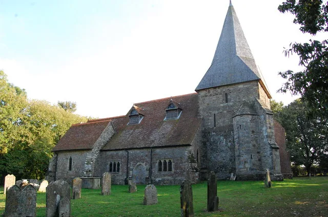
Beckley
Beckley — village in East Sussex, United Kingdom.
Hotels · South East England
Flackley Ash
Flackley Ash — a hotel in england south east.
Caravan parks · South East England
The Cock Inn
The Cock Inn — a caravan park in england south east.
Campsites · South East England
Eagles Garth Caravan and Camping
Eagles Garth Caravan and Camping — a campsite in england south east.
 📷 5
📷 5Farms (open to visitors) · South East England
Children's Farm
Children's Farm — a other in england-south-east, United Kingdom.
More places in this region
 Flagship📷 10
Wildlife reserves · South East England
Arne RSPB reserve
Arne RSPB reserve — RSPB nature reserve in the United Kingdom.
 Flagship📷 10
Wildlife reserves · South East England
Farnham Park
Farnham Park — nature reserve in Surrey, England, UK.
 Flagship📷 10
Wildlife reserves · South East England
Great Wood and Dodd's Grove
Great Wood and Dodd's Grove — Essex Wildlife Trust Nature reserve.
 Flagship📷 10
Wildlife reserves · South East England
Gunners Park and Shoebury Ranges
Gunners Park and Shoebury Ranges — Essex Wildlife Trust Nature reserve.
Frequently asked questions
- Where is Flatropers Wood?
- Flatropers Wood is in East Sussex, South-East England, United Kingdom (postcode TN31 6TH), in the parish of Beckley.
- Who owns Flatropers Wood?
- Flatropers Wood is owned by Sussex Wildlife Trust.
- Is Flatropers Wood a protected site?
- Yes — Flatropers Wood is part of the High Weald National Landscape (AONB).
- Is Flatropers Wood free to visit?
- Yes, Flatropers Wood is free to enter.
- How do I get to Flatropers Wood?
- The nearest railway station is Northiam, about 4.2 km away. Drivers can navigate to postcode TN31 6TH.
- Are dogs allowed at Flatropers Wood?
- Most wildlife reserves allow dogs on lead only, with restrictions during ground-nesting bird season (March-July). Check signage at the reserve.