
Forests & woodlands · East of England
Fingringhoe Wick Nature Reserve
In or near East Mersea.
Fingringhoe Wick Nature Reserve is a forest or woodland in the United Kingdom.

Wikimedia Commons contributors — see linked file page for photographer and licence licence

Plan your visit
- Typical visit
- 1 h–3 h
- Nearest railway station
- Wivenhoe · 2.5 km
- Free entry
- Family-friendly
- Dog-friendly
Getting there & planning your visit
Fingringhoe Wick Nature Reserve is located in Colchester, Essex, with the postcode CO5 7DN. The nearest railway station is Wivenhoe, which is 2.5 km away. Entry to the reserve is free.
About
Fingringhoe Wick Nature Reserve is a named forest, woodland or nature reserve in the United Kingdom. Coordinates: 51.8353°, 0.9689°.
Photo gallery
Protected designations
- Site of Special Scientific Interest: Colne Estuary SSSI
- Ramsar wetland: Colne Estuary (Mid-Essex Coast Phase 2)
Designations sourced from Natural England open data under OGL v3.
From the Wikipedia article
Fingringhoe Wick is a 48.6-hectare (120-acre) nature reserve in Fingringhoe in Essex. It is managed by the Essex Wildlife Trust, which runs a visitor centre on the site. It is part of the Colne Estuary Site of Special Scientific Interest, Ramsar site and Nature Conservation Review site. These former gravel quarries were the Trust's first reserve, established in 1961. Habitats are the Colne Estuary, gorse heathland, grassland, reedbeds and ponds. There are nearly 200 species of birds and 350 of flowering plants, together with many dragonflies, damselflies and butterflies. The reserve is famous for its 35-plus singing males of Common Nightingale in the spring. The site can be accessed by a 30 to 45 minute walk along the Gravel Pit Trail from Fingringhoe village.
Excerpt from Wikipedia under CC BY-SA 4.0. See the source article linked in Sources below.
- Coordinates
- 51.8353, 0.9689
- County
- Essex
- District
- Colchester
- Parish
- Fingringhoe
- Postcode
- CO5 7DN
- Parliamentary constituency
- Harwich and North Essex
- Nearest railway station
- Wivenhoe — 2.5 km
Sources
- osm: w32751624 (ODbL)
- wikipedia: Fingringhoe Wick (CC BY-SA 4.0)
- commons: The Lake at Fingringhoe Wick nature reserve - geograph.org.uk - 1520757.jpg (CC BY-SA 4.0)
Other places nearby
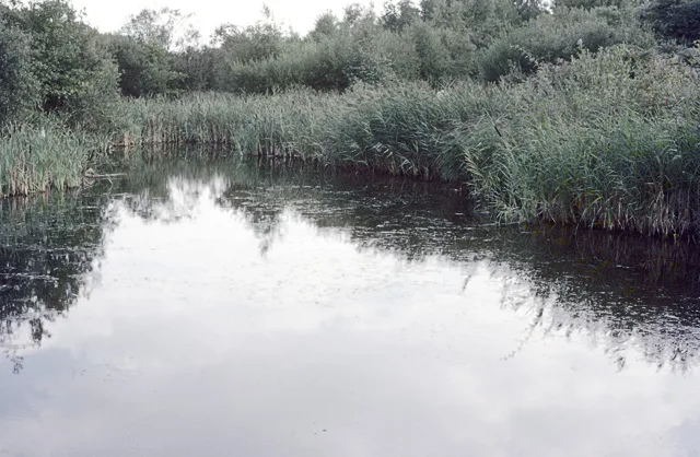
Fingringhoe Wick
Wildlife reserves · 0.1 km

Fingringhoe
Villages · 2.0 km

Sir John Martin-Harvey
Memorials & monuments · 2.2 km

Saint Peter's Church
Archaeological sites · 2.3 km

Joan Hickson O.B.E.
Memorials & monuments · 2.3 km

Old Garrison House
Historic houses · 2.3 km

Roman River
Museums · 2.3 km

Wivenhoe War Memorial
Memorials & monuments · 2.3 km

Wivenhoe
Villages · 2.4 km
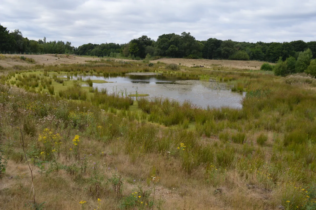
Cockaynes Wood
Wildlife reserves · 2.4 km
Bridge At North West End Of Ornamental Lake Approximately 70 Metres From The Quarters
Historic bridges · 2.6 km

Cockaynes Wood Nature Reserve
Forests & woodlands · 2.6 km
Nearby
Flagship📷 5Wildlife reserves · East of England
Fingringhoe Wick
Fingringhoe Wick — Essex Wildlife Trust Nature reserve.
📷 5📷 3Memorials & monuments · East of England
Sir John Martin-Harvey
Sir John Martin-Harvey — a memorial in East of England, United Kingdom.
📷 5Archaeological sites · East of England
Saint Peter's Church
Saint Peter's Church — archaeological in england east. Operated by Essex County Council.
📷 3Memorials & monuments · East of England
Joan Hickson O.B.E.
Joan Hickson O.B.E. — a memorial in East of England, United Kingdom.
📷 3Historic houses · East of England
Old Garrison House
Old Garrison House — Grade I listed house in Wivenhoe, Colchester, Essex, England, UK.
Where to eat & stay near Fingringhoe Wick Nature Reserve
Places to stay
 📷 5
📷 5 📷 5
📷 5 📷 5📷 5
 📷 5📷 5
Places to eat & drink
 📷 7
📷 7Historic pubs · East of England
The Ipswich Arms Public House
The Ipswich Arms Public House in England East, United Kingdom.
 📷 7
📷 7Historic pubs · East of England
The Brewers Arms Public House
The Brewers Arms Public House in England East, United Kingdom.
 📷 7
📷 7Historic pubs · East of England
Dog And Pheasant Public House
Dog And Pheasant Public House in England East, United Kingdom.
 📷 7
📷 7Historic pubs · East of England
Peldon Rose Public House
Peldon Rose Public House in England East, United Kingdom.
 📷 7
📷 7Historic pubs · East of England
Duke Of York Public House
Duke Of York Public House in England East, United Kingdom.
 📷 5
📷 5Historic pubs · East of England
The Mermaid Public House
The Mermaid Public House in England East, United Kingdom.
More forests in this region
 📷 5
📷 5Forests & woodlands · East of England
Adams Road Bird Sanctuary
Adams Road Bird Sanctuary is a forest or woodland in the United Kingdom.
 📷 5
📷 5Forests & woodlands · East of England
Arthur's Meadow NR
Arthur's Meadow NR is a forest or woodland in the United Kingdom.
 📷 5
📷 5Forests & woodlands · East of England
Ashwell Quarry & Quarry Springs
Ashwell Quarry & Quarry Springs is a forest or woodland in the United Kingdom.
 📷 5
📷 5Forests & woodlands · East of England
Ashwell Springs
Ashwell Springs is a forest or woodland in the United Kingdom.
Frequently asked questions
- Where is Fingringhoe Wick Nature Reserve?
- Fingringhoe Wick Nature Reserve is in Essex, East of England, United Kingdom (postcode CO5 7DN), in the parish of Fingringhoe.
- What is Fingringhoe Wick Nature Reserve?
- Fingringhoe Wick Nature Reserve is a forest or woodland in the United Kingdom.
- How do I get to Fingringhoe Wick Nature Reserve?
- The nearest railway station is Wivenhoe, about 2.5 km away. The nearest town is East Mersea. Drivers can use postcode CO5 7DN.
- Who owns Fingringhoe Wick Nature Reserve?
- Fingringhoe Wick Nature Reserve is owned by Essex Wildlife Trust.
- Is Fingringhoe Wick Nature Reserve a protected site?
- Yes — Fingringhoe Wick Nature Reserve is part of the Colne Estuary SSSI Site of Special Scientific Interest and the Colne Estuary (Mid-Essex Coast Phase 2) Ramsar wetland.
- Is Fingringhoe Wick Nature Reserve free to visit?
- Yes, Fingringhoe Wick Nature Reserve is free to enter.
- How do I get to Fingringhoe Wick Nature Reserve?
- The nearest railway station is Wivenhoe, about 2.5 km away. Drivers can navigate to postcode CO5 7DN.