
Historic churches · East of England
Fenland District
In or near Wimblington.
Fenland is a local government district in Cambridgeshire, England. It was historically part of the Isle of Ely. The district covers around 500 square kilometres (190 sq mi) of mostly agricultural land

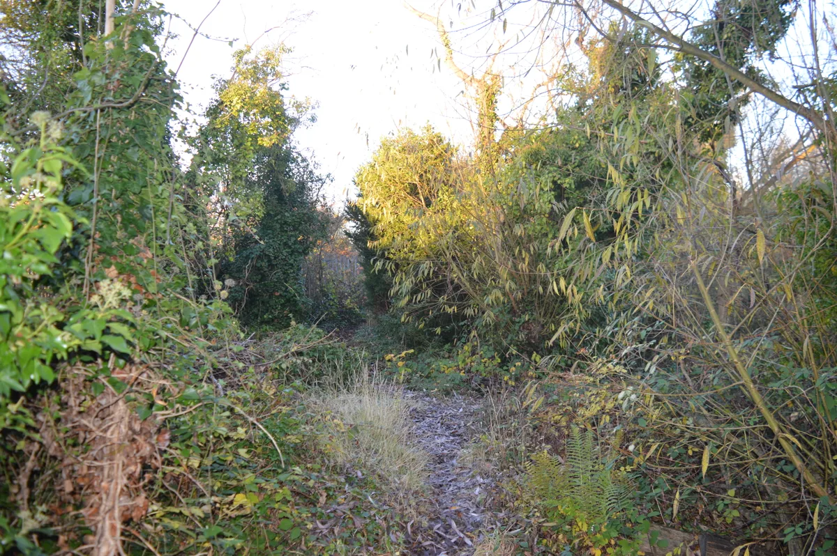
Richard Humphrey — CC BY-SA 2.0 via Wikimedia Commons licence

Plan your visit
- Typical visit
- 30 min–1 h
- Nearest railway station
- March · 3.3 km
- Free entry
Getting there & planning your visit
To visit Fenland District, the nearest railway station is March, located 3.3 km away. The postcode for navigation is PE15 0AA, and entry is free.
About
Fenland is a local government district in Cambridgeshire, England. It was historically part of the Isle of Ely. The district covers around 500 square kilometres (190 sq mi) of mostly agricultural land in the extremely flat Fens. The council is based in Fenland Hall, in March. Other towns include Chatteris, Whittlesey and Wisbech, the largest of the four. Since 2017 the district has been a constituent member of the Cambridgeshire and Peterborough Combined Authority, led by the directly-elected Mayor of Cambridgeshire and Peterborough. The neighbouring districts are East Cambridgeshire, Huntingdonshire, Peterborough, South Holland and King's Lynn and West Norfolk.
Photo gallery
Protected designations
- Site of Special Scientific Interest: Ouse Washes SSSI
- Site of Special Scientific Interest: Nene Washes SSSI
- Ramsar wetland: Ouse Washes
- Ramsar wetland: Nene Washes
Designations sourced from Natural England open data under OGL v3.
From the Wikipedia article
Fenland is a local government district in Cambridgeshire, England. It was historically part of the Isle of Ely. The district covers around 500 square kilometres (190 sq mi) of mostly agricultural land in the extremely flat Fens. The council is based in Fenland Hall, in March. Other towns include Chatteris, Whittlesey and Wisbech, the largest of the four. Since 2017 the district has been a constituent member of the Cambridgeshire and Peterborough Combined Authority, led by the directly-elected Mayor of Cambridgeshire and Peterborough. The neighbouring districts are East Cambridgeshire, Huntingdonshire, Peterborough, South Holland and King's Lynn and West Norfolk.
Excerpt from Wikipedia under CC BY-SA 4.0. See the source article linked in Sources below.
Background
History
The district was formed on 1 April 1974 under the Local Government Act 1972. The new district covered the area of six former districts, which were all abolished at the same time: The new district was named Fenland, referencing its position within the Fens.
Sourced from Wikipedia under CC BY-SA 4.0.
- Coordinates
- 52.5750, 0.0490
- County
- Cambridgeshire
- District
- Fenland
- Parish
- March
- Postcode
- PE15 0AA
- Parliamentary constituency
- North East Cambridgeshire
- Nearest railway station
- March — 3.3 km
Sources
- wikipedia: Fenland District (CC BY-SA 4.0)
Other places nearby

Wellington Bomber Z8863 memorial
Memorials & monuments · 2.1 km

Fourwinds
Campsites · 2.4 km

Peas Hill Green Village Sign
Public art & sculpture · 2.4 km
Norwood Road
Wildlife reserves · 3.1 km

Norwood Road nature reserve
Wildlife reserves · 3.1 km

Whale Bone
Memorials & monuments · 3.3 km

The Hippodrome
Theatres · 3.7 km

Guyhirn Village Sign
Public art & sculpture · 3.7 km
Bowl2Day
Bowling alleys · 3.7 km

March, Cambridgeshire
Historic churches · 3.8 km

War Memorial
Memorials & monuments · 3.8 km

Guyhirn
Villages · 3.8 km
Nearby
📷 5Memorials & monuments · East of England
Wellington Bomber Z8863 memorial
Wellington Bomber Z8863 memorial — a memorial in england-london, United Kingdom.
📷 5📷 5Public art & sculpture · East of England
Peas Hill Green Village Sign
Peas Hill Green Village Sign — a public art in england-london, United Kingdom.
📷 5Wildlife reserves · East of England
Norwood Road
Norwood Road — nature reserve in the United Kingdom.
📷 5Wildlife reserves · East of England
Norwood Road nature reserve
Norwood Road nature reserve is a wildlife reserve in the United Kingdom.
📷 5Memorials & monuments · East of England
Whale Bone
Whale Bone — a memorial in england-london, United Kingdom.
Where to eat & stay near Fenland District
Places to stay
📷 5 📷 5
📷 5Caravan parks · East Midlands
Tall Trees Leisure Park
Tall Trees Leisure Park — a caravan park in england london.
 📷 5
📷 5Caravan parks · East Midlands
Common Right Barns
Common Right Barns — a caravan park in england london.
 📷 5
📷 5Caravan parks · East of England
Fenland Camping & Caravan Park
Fenland Camping & Caravan Park — a caravan park in england london.
 📷 5📷 5
Campsites · East of England
Fields End Water Caravan Park
Fields End Water Caravan Park — a campsite in england london.
Places to eat & drink
 📷 5
📷 5Historic pubs · East of England
Sportsman Public House
Sportsman Public House in England East, United Kingdom.
 📷 5
📷 5 📷 5
📷 5 📷 5
📷 5 📷 7
📷 7Historic pubs · East of England
The Unicorn Public House
The Unicorn Public House in England East, United Kingdom.
 📷 7
📷 7Historic pubs · East of England
Jolly Sailor Public House
Jolly Sailor Public House in England East, United Kingdom.
More places in this region
 📷 5
📷 5Historic churches · East of England
All Saints Church
All Saints Church — church on Jesus Lane in central Cambridge, England.
 📷 5
📷 5Historic churches · East of England
All Saints Church, Conington
All Saints Church, Conington — church in Conington, Huntingdonshire, Cambridgeshire, England, UK.
 📷 5
📷 5Historic churches · East of England
All Saints Church, Vange
All Saints Church, Vange — church in Basildon, Essex, England, UK.
 📷 5
📷 5Historic churches · East of England
All Saints Parish Church, Kirtling
All Saints Parish Church, Kirtling — church in East Cambridgeshire, England, UK.
Frequently asked questions
- Where is Fenland District?
- Fenland District is in Cambridgeshire, London, United Kingdom (postcode PE15 0AA), in the parish of March.
- What is Fenland District?
- Fenland is a local government district in Cambridgeshire, England. It was historically part of the Isle of Ely. The district covers around 500 square kilometres (190 sq mi) of mostly agricultural land
- How do I get to Fenland District?
- The nearest railway station is March, about 3.3 km away. Drivers can use postcode PE15 0AA.
- Who owns Fenland District?
- Fenland District is owned by Fenland District Council.
- Is Fenland District a protected site?
- Yes — Fenland District is part of the Ouse Washes SSSI Site of Special Scientific Interest and the Nene Washes SSSI Site of Special Scientific Interest.
- Is Fenland District free to visit?
- Yes, Fenland District is free to enter.
- How do I get to Fenland District?
- The nearest railway station is March, about 3.3 km away. Drivers can navigate to postcode PE15 0AA.