
Mountains & hills · North West England
Farleton Knott
In or near Lupton.
Farleton Knott — mountain in england north west. Elevation: 265 m.

John H Darch — CC BY-SA 2.0 via Wikimedia Commons licence

Plan your visit
- Typical visit
- 3 h–8 h
- Best time of year
- Late spring – early autumn (May–Oct)
- Nearest railway station
- Arnside · 8.1 km
- Dog-friendly
About
Farleton Knott is a mountain located in england north west. Elevation: 265 m. A named British peak recorded in OpenStreetMap. Peaks are typically named on Ordnance Survey 1:50k mapping.
Photo gallery
Protected designations
- Site of Special Scientific Interest: Farleton Knott SSSI
Designations sourced from Natural England open data under OGL v3.
Place summary
Farleton Knott is a mountain located in North-West England. It features distinctive limestone crags and offers various walking trails for outdoor enthusiasts. The area is known for its scenic views and diverse wildlife. It is a popular spot for both casual walkers and more experienced climbers.
AI-generated from the structured facts on this page (operator, designation, listing, era). Not a substitute for visiting.
- Coordinates
- 54.2172, -2.7056
- District
- Westmorland and Furness
- Parish
- Beetham
- Postcode
- LA6 1PB
- Parliamentary constituency
- Morecambe and Lunesdale
- Nearest railway station
- Arnside — 8.1 km
Sources
- osm: n459472920 (ODbL)
Other places nearby

Farleton Fell
Mountains & hills · 0.2 km

Farleton
Villages · 0.7 km

Hodgson's Bridge
Historic bridges · 0.9 km

Thompson's Bridge Over Kendal/Lancaster Canal
Historic bridges · 1.0 km

Farleton Turnpike Bridge Over Kendal/Lancaster Canal
Historic bridges · 1.0 km

Atkinson's Bridge
Historic bridges · 1.0 km
Atkinson's Bridge Over Kendal/Lancaster Canal
Historic bridges · 1.0 km

Newbiggin Crags
Mountains & hills · 1.0 km

Garth's Bridge
Historic bridges · 1.3 km
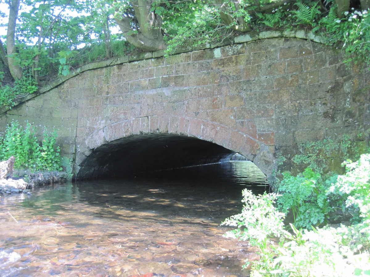
Aqueduct Carrying Kendal/Lancaster Canal Over Farleton Beck
Aqueducts · 1.3 km

Farleton Aqueduct
Historic bridges · 1.3 km

Dovehouses Bridge
Historic bridges · 1.5 km
Nearby
📷 5Mountains & hills · North West England
Farleton Fell
Farleton Fell — a hill or mountain in england north west.
📷 5📷 3Historic bridges · North West England
Hodgson's Bridge
Hodgson's Bridge is a historic bridge in the United Kingdom.
📷 3Historic bridges · North West England
Thompson's Bridge Over Kendal/Lancaster Canal
Thompson's Bridge Over Kendal/Lancaster Canal — Grade II listed building-listed bridge in england-north-west, United Kingdom.
📷 3Historic bridges · North West England
Farleton Turnpike Bridge Over Kendal/Lancaster Canal
Farleton Turnpike Bridge Over Kendal/Lancaster Canal — Grade II listed building-listed bridge in england-north-west, United Kingdom.
📷 4Historic bridges · North West England
Atkinson's Bridge
Atkinson's Bridge is a historic bridge in the United Kingdom.
Where to eat & stay near Farleton Knott
Places to stay
 📷 5
Caravan parks · North West England
White Riggs Caravan Park
White Riggs Caravan Park — a caravan park in england north west.
 📷 5
Caravan parks · North West England
Millness Leisure Park
Millness Leisure Park — a caravan park in england north west.
 📷 5
Caravan parks · North West England
Farletonview Fishery Caravan Site
Farletonview Fishery Caravan Site — a caravan park in england north west.
 📷 5
Caravan parks · North West England
Waters Edge Caravan Park
Waters Edge Caravan Park — a caravan park in england north west.
 📷 5
Hotels · North West England
Kings Arms Hotel
Kings Arms Hotel — a hotel in england north west.
 📷 5
Caravan parks · North West England
Silver Ridge Holiday Park
Silver Ridge Holiday Park — a caravan park in england north west.
Places to eat & drink
 📷 3
Historic pubs · North West England
The Eagles Head
The Eagles Head — Historic pub — listed building or notable heritage status.
 📷 7
 📷 5
Historic pubs · North West England
Punch Bowl Hotel
Punch Bowl Hotel in England North West, United Kingdom.
 📷 5
 📷 5
Restaurants · North West England
L'Enclume
L'Enclume — a restaurant in england north west.
 📷 4
Restaurants · North West England
L'Enclume
L'Enclume (pronounced [lɑ̃.klym], French for "the anvil") is a Modern British restaurant opened in 2002 in Cartmel, Cumbria, England, run by the chef Simon Rogan and his partner, Penny Tapsell. L'Encl
More mountains in this region
 📷 5
Mountains & hills · North West England
Appleton Park
Appleton Park — a hill or mountain in england west midlands.
 📷 5
Mountains & hills · North West England
High Warren
High Warren — mountain in england west midlands. Elevation: 105 m.
 📷 5
Mountains & hills · North West England
Alderley Edge
Alderley Edge — mountain in england west midlands. Elevation: 194 m.
 📷 3
Frequently asked questions
- Where is Farleton Knott?
- Farleton Knott is in North-West England, United Kingdom (postcode LA6 1PB), in the parish of Beetham.
- What is Farleton Knott?
- Farleton Knott — mountain in england north west. Elevation: 265 m.
- How do I get to Farleton Knott?
- The nearest railway station is Arnside, about 8.1 km away. The nearest town is Lupton. Drivers can use postcode LA6 1PB.
- Is Farleton Knott a protected site?
- Yes — Farleton Knott is part of the Farleton Knott SSSI Site of Special Scientific Interest.
- How do I get to Farleton Knott?
- Drivers can navigate to postcode LA6 1PB. It sits within the Morecambe and Lunesdale parliamentary constituency.