
Other places · North West England
Farlam
Farlam in England North East, United Kingdom.

George Richardson — CC BY-SA 2.0 via Wikimedia Commons licence

Plan your visit
- Typical visit
- 1 h–2 h
- Nearest railway station
- Brampton · 1.3 km
Getting there & planning your visit
Farlam is located in North East England, with the postcode CA8 1LA. The nearest railway station is Brampton, which is 1.3 km away. There is no information provided about entry fees or accessibility.
About
Farlam is a place of interest in England North East, United Kingdom — drawn from open-data sources for visitor reference. See the linked Wikipedia article for the full description.
Photo gallery
Official information
Farlam is a parish located in North West England, known for its small population and rural setting. It features a community structure with a diverse age distribution and a predominantly white ethnic group.
Protected designations
- Site of Special Scientific Interest: Geltsdale & Glendue Fells SSSI
- Site of Special Scientific Interest: River Eden and Tributaries SSSI
- Area of Outstanding Natural Beauty: North Pennines
Designations sourced from Natural England open data under OGL v3.
From the Wikipedia article
Farlam is a village and civil parish in the Cumberland district, in the English county of Cumbria. The village is about 2+1⁄4 miles (3.6 km) southeast of the small town of Brampton and 9+1⁄2 miles (15 km) east of the city of Carlisle. While the population has fluctuated over time, in the 2001 UK Census, the population stood at 590. The 2011 Census showed a population of 669, decreasing to 659 in 2021.
Excerpt from Wikipedia under CC BY-SA 4.0. See the source article linked in Sources below.
Background
History
Farlam was originally divided into two townships, East Farlam and West Farlam, with a combined population in 1811 of 672 inhabitants and 115 houses. Hallbankgate and Kirkhouse were two hamlets located within the township of East Farlam, the former four miles south east of Brampton, and the latter, where the church stands, half-a-mile east of the village. Milton was a small village in West Farlam and is now in Brampton parish. The whole parish has a high elevation and topographically is quite hilly with an area in 1847 of 5,680 acres.
Sourced from Wikipedia under CC BY-SA 4.0.
- Coordinates
- 54.9220, -2.6950
- District
- Cumberland
- Parish
- Farlam
- Postcode
- CA8 1LA
- Parliamentary constituency
- Carlisle
- Nearest railway station
- Brampton — 1.3 km
- Official site
- www.citypopulation.de
Sources
Other places nearby
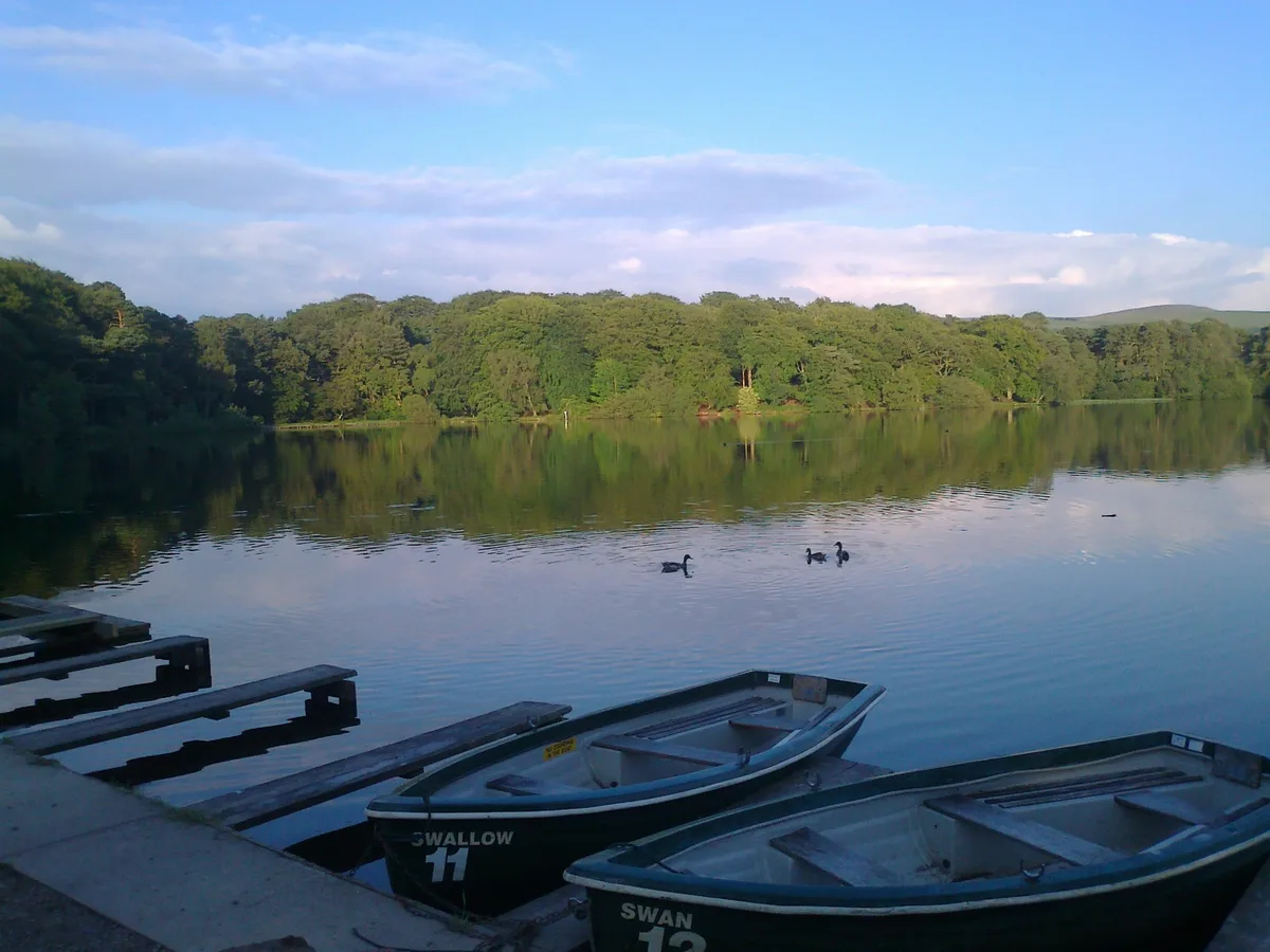
Talkin Tarn
Natural landmarks · 1.0 km

Talkin Tarn Campsite
Campsites · 1.1 km

Milton
Castles · 1.4 km

Farlam War Memorial
Memorials & monuments · 1.7 km

Chapel House Caravan Park
Caravan parks · 1.9 km

Whinny Fell
Mountains & hills · 2.0 km

Farlam Hall
Hotels · 2.0 km

Cedar Tree
Historic houses · 2.0 km
Whinny Fell
Mountains & hills · 2.0 km

Gelt Bridge
Historic bridges · 2.7 km

Graham Arms (West Of Gelt Bridge)
Historic pubs · 2.8 km

Talkin Fell
Mountains & hills · 2.8 km
Nearby
📷 5Natural landmarks · North West England
Talkin Tarn
Talkin Tarn — reservoir in the United Kingdom.
📷 5Campsites · North West England
Talkin Tarn Campsite
Talkin Tarn Campsite — a campsite in scotland lowlands.
📷 5📷 3Memorials & monuments · North West England
Farlam War Memorial
Farlam War Memorial — Grade II listed building-listed memorial in scotland-lowlands, United Kingdom.
📷 5Caravan parks · North West England
Chapel House Caravan Park
Chapel House Caravan Park — a caravan park in scotland lowlands.
📷 5Mountains & hills · North West England
Whinny Fell
Whinny Fell — mountain in scotland lowlands. Elevation: 360 m.
Where to eat & stay near Farlam
Places to stay
📷 5Campsites · North West England
Talkin Tarn Campsite
Talkin Tarn Campsite — a campsite in scotland lowlands.
📷 5Caravan parks · North West England
Chapel House Caravan Park
Chapel House Caravan Park — a caravan park in scotland lowlands.
📷 5 📷 7
📷 7 📷 7
📷 7B&Bs · North West England
Scotch Arms Mews
Scotch Arms Mews — a bed-and-breakfast in scotland lowlands.
 📷 5
📷 5Caravan parks · North West England
Irthing Vale Caravan Park
Irthing Vale Caravan Park — a caravan park in scotland lowlands.
Places to eat & drink
📷 5Historic pubs · North West England
Graham Arms (West Of Gelt Bridge)
Graham Arms (West Of Gelt Bridge) in Scotland Lowlands, United Kingdom.
 📷 4
📷 4Historic pubs · North West England
Hallbankgate
Hallbankgate in England North East, United Kingdom.
 📷 4
📷 4 📷 5
📷 5Historic pubs · North West England
St Nicholas Arms Public House
St Nicholas Arms Public House in Scotland Lowlands, United Kingdom.
 📷 7
📷 7Historic pubs · North West England
The Andalusian
The Andalusian in Scotland Lowlands, United Kingdom.
 📷 4
📷 4Historic pubs · North West England
The Griffin
The Griffin — Historic pub — listed building or notable heritage status.
More places in this region
 📷 5
📷 5Other places · North West England
Anderton with Marbury
Anderton with Marbury — a other in england-west-midlands, United Kingdom.
 📷 5
📷 5Other places · North West England
Baddington
Baddington — a other in england-west-midlands, United Kingdom.
 📷 5
📷 5Other places · North West England
Latchford, Cheshire
Latchford, Cheshire — a other in england-west-midlands, United Kingdom.
 📷 5
📷 5Other places · North West England
Ringway, Manchester
Ringway, Manchester — a other in england-west-midlands, United Kingdom.
Frequently asked questions
- Where is Farlam?
- Farlam is in North-East England, United Kingdom (postcode CA8 1LA), in the parish of Farlam.
- What is Farlam?
- Farlam in England North East, United Kingdom.
- How do I get to Farlam?
- The nearest railway station is Brampton, about 1.3 km away. Drivers can use postcode CA8 1LA.
- Is Farlam a protected site?
- Yes — Farlam is part of the Geltsdale & Glendue Fells SSSI Site of Special Scientific Interest and the River Eden and Tributaries SSSI Site of Special Scientific Interest.
- How do I get to Farlam?
- The nearest railway station is Brampton, about 1.3 km away. Drivers can navigate to postcode CA8 1LA.