
Historic houses · East of England
Elmstead Hall
In or near Langham.
Elmstead Hall — house in Elmstead, Essex, England, UK.

Wikimedia Commons contributors — see linked file page for photographer and licence licence

Plan your visit
- Typical visit
- 1 h–2 h
- Nearest railway station
- Alresford · 4.5 km
- Family-friendly
- Limited wheelchair access
About
Elmstead Hall is a historic house in the United Kingdom — typically a country seat, manor, or town house with notable architecture or history. Heritage designation: Grade II* listed building. Wikidata describes it as: "house in Elmstead, Essex, England, UK". Coordinates: 51.8943°, 0.9986°.
Photo gallery
Place summary
Elmstead Hall is a historic house located in Elmstead, Essex, in the East of England. This Grade II* listed building is noted for its architectural significance and historical importance.
AI-generated from the structured facts on this page (operator, designation, listing, era). Not a substitute for visiting.
- Coordinates
- 51.8943, 0.9986
- County
- Essex
- District
- Tendring
- Parish
- Elmstead
- Postcode
- CO7 7AR
- Parliamentary constituency
- Harwich and North Essex
- Nearest railway station
- Alresford — 4.5 km
- Official site
- www.flickr.com
Sources
- wikidata: Q17532808 (CC0)
- commons: A view of Elmstead Hall from Church Road - geograph.org.uk - 810013.jpg (CC BY-SA 4.0)
Other places nearby

A120 Ghost Tree
Public art & sculpture · 0.5 km

Mill Farm Camp Site
Campsites · 1.9 km
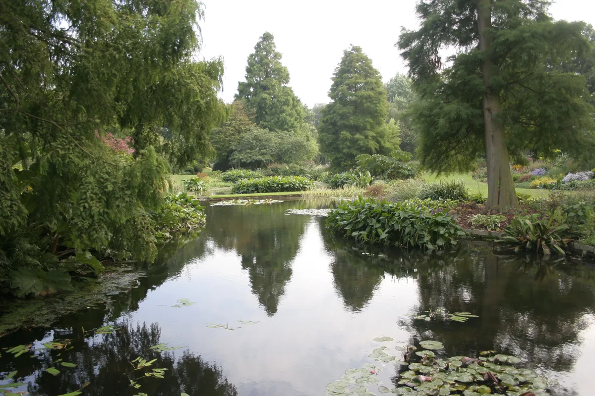
Beth Chatto Gardens
Gardens · 2.2 km

Great Bromley Village Sign
Public art & sculpture · 2.3 km

Great Bromley
Villages · 2.7 km
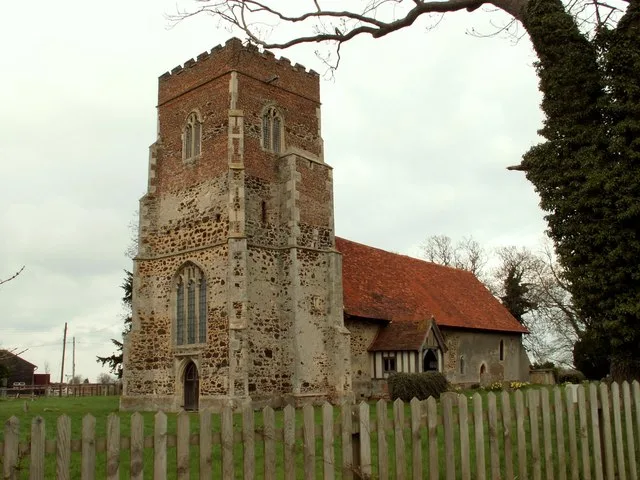
St Mary the Virgin's Church, Little Bromley
Historic churches · 3.3 km

War Memorial
Memorials & monuments · 3.7 km

The Lion Of Bengal
Restaurants · 3.7 km
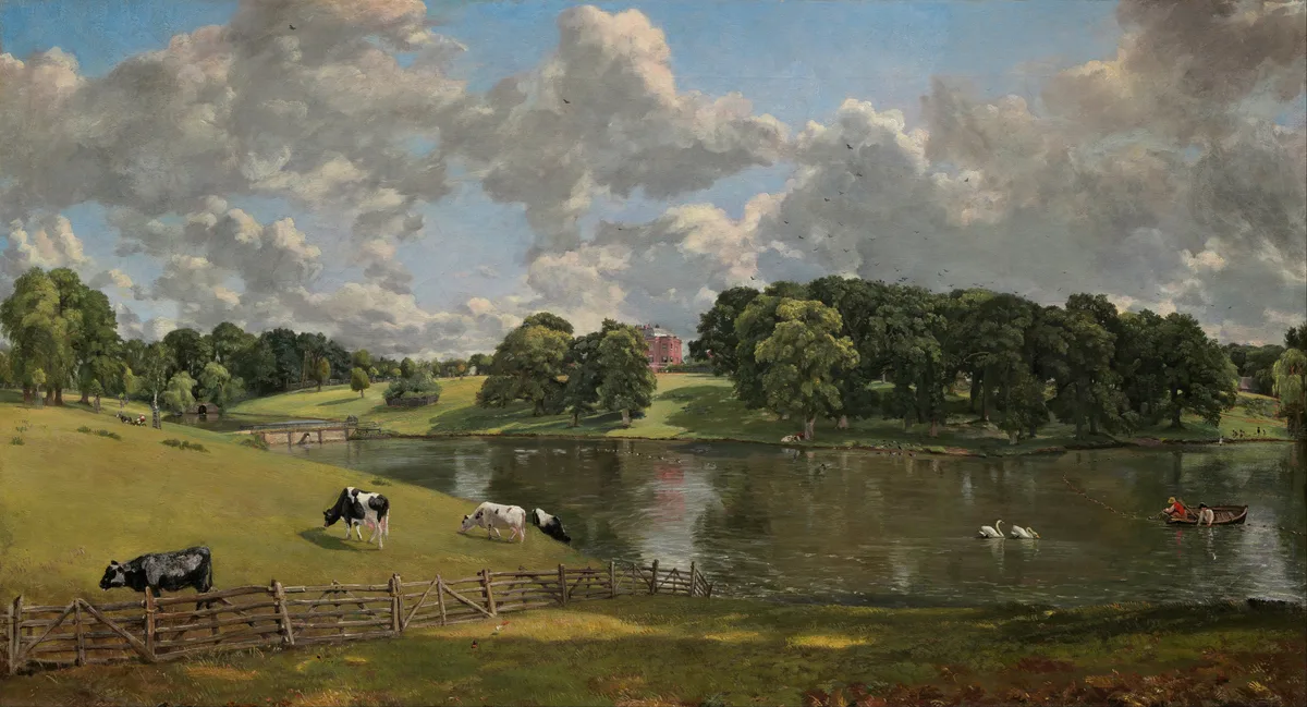
Wivenhoe Park
Parks · 3.7 km

Salary Brook Nature Reserve
Forests & woodlands · 3.8 km
The Lion Inn, Ardleigh
Historic pubs · 3.8 km

Ardleigh Reservoir
Reservoirs & lochs · 3.8 km
Nearby
📷 3Public art & sculpture · East of England
A120 Ghost Tree
A120 Ghost Tree — Public artwork by Clive Wakeford.
📷 5📷 3Gardens · East of England
Beth Chatto Gardens
Beth Chatto Gardens — gardens in Elmstead, Essex, England, UK.
📷 3Public art & sculpture · East of England
Great Bromley Village Sign
Great Bromley Village Sign — a public art in england-east, United Kingdom.
📷 5📷 3Historic churches · East of England
St Mary the Virgin's Church, Little Bromley
St Mary the Virgin's Church, Little Bromley — church in Little Bromley, Tendring, Essex, England, UK.
Where to eat & stay near Elmstead Hall
Places to stay
📷 5 📷 5
📷 5Caravan parks · East of England
Ardleigh Caravan Park
Ardleigh Caravan Park — a caravan park in england east.
 📷 5
📷 5 📷 5
📷 5 📷 5📷 5
Places to eat & drink
📷 5Restaurants · East of England
The Lion Of Bengal
The Lion Of Bengal — a restaurant in england east.
📷 7Historic pubs · East of England
The Lion Inn, Ardleigh
The Lion Inn, Ardleigh in England East, United Kingdom.
 📷 5
📷 5Historic pubs · East of England
The Welcome Sailor Public House
The Welcome Sailor Public House in England East, United Kingdom.
 📷 7
📷 7Historic pubs · East of England
Duke Of York Public House
Duke Of York Public House in England East, United Kingdom.
 📷 7
📷 7Historic pubs · East of England
The Goat And Boot Public House
The Goat And Boot Public House in England East, United Kingdom.
 📷 7
📷 7Historic pubs · East of England
The Ipswich Arms Public House
The Ipswich Arms Public House in England East, United Kingdom.
More historic houses in this region
 📷 5
📷 5Historic houses · East of England
41 and 41a, Broad Street
41 and 41a, Broad Street — Grade II* listed house in Ely, East Cambridgeshire, England, UK.
 📷 5
📷 5Historic houses · East of England
Abbey Gate House
Abbey Gate House — house in St Albans, Hertfordshire, England, UK.
 📷 5
📷 5Historic houses · East of England
Abbey House
Abbey House — house in Cambridge, Cambridgeshire, England, UK.
.jpg?width=1200) 📷 5
📷 5Historic houses · East of England
Amores Including Outbuildings
Amores Including Outbuildings — architectural structure in Hertford, East Hertfordshire, England, UK.
Frequently asked questions
- Where is Elmstead Hall?
- Elmstead Hall is in Essex, East of England, United Kingdom (postcode CO7 7AR), in the parish of Elmstead.
- What is Elmstead Hall?
- Elmstead Hall — house in Elmstead, Essex, England, UK.
- How do I get to Elmstead Hall?
- The nearest railway station is Alresford, about 4.5 km away. Drivers can use postcode CO7 7AR.
- Is Elmstead Hall a listed building?
- Elmstead Hall is officially recognised as Grade II* listed building listed.
- How do I get to Elmstead Hall?
- The nearest railway station is Alresford, about 4.5 km away. Drivers can navigate to postcode CO7 7AR.