
Mines & mining heritage · North East England
Ellington Colliery
In or near Ellington.
Ellington Colliery in England North East, United Kingdom.

N Chadwick — CC BY-SA 2.0 via Wikimedia Commons licence

Plan your visit
- Typical visit
- 1 h–2 h
- Nearest railway station
- Lakeside Halt · 2.3 km
Getting there & planning your visit
To visit Ellington Colliery, the nearest railway station is Lakeside Halt, located 2.3 km away. The postcode for navigation is NE61 5BU. Entry details are not specified, so please check in advance for accessibility information.
About
Ellington Colliery is a place of interest in England North East, United Kingdom — drawn from open-data sources for visitor reference. See the linked Wikipedia article for the full description.
Photo gallery
Protected designations
- Site of Special Scientific Interest: Northumberland Shore SSSI
Designations sourced from Natural England open data under OGL v3.
From the Wikipedia article
Ellington Colliery (also known as The Big E), was a coal mine situated to the south of the village of Ellington in Northumberland, England. The colliery was the last deep coal mine in the north east of England (also known as the Great Northern Coalfield). At one time, the deepest part of the mine was 800 metres (2,600 ft) and it extended 15 miles (24 km) under the North Sea. During the 1980s, the pit (along with Lynemouth Colliery) was known as the biggest undersea mine in the world and produced 69% of the mined coal in Northumberland. Ellington had several faces for mining and was known for winning coal from under the North Sea, before flooding caused the early closure of the mine.
Excerpt from Wikipedia under CC BY-SA 4.0. See the source article linked in Sources below.
Background
History
The pit was first sunk into the Great Northern Coalfield in 1909, but was not completed until 1913. Coal was mined from the Ashington, High Main, Main, Yard, Low Main and Brass Thill seams. By 1974, over 66% of the mine's output was going to the adjacent aluminium smelter, with the remainder being sold to the CEGB. Ellington and Lynemouth Collieries were linked underground, and were known as Ellington Combine. When Lynemouth Colliery was deliberately flooded to try and extinguish a fire, a new drift entrance was built called Bewick Drift, with all coal from Ellington being brought to the surface there and then latterly moved on a conveyor to the aluminium smelter. Bewick Drift opened in…
Sourced from Wikipedia under CC BY-SA 4.0.
- Coordinates
- 55.2170, -1.5550
- District
- Northumberland
- Parish
- Ellington and Linton
- Postcode
- NE61 5BU
- Parliamentary constituency
- North Northumberland
- Nearest railway station
- Lakeside Halt — 2.3 km
Sources
- wikidata: Q98767309 (CC0)
- wikipedia: Ellington Colliery (CC BY-SA 4.0)
Other places nearby

Ellington
Towns & cities · 0.6 km

Ellington
Villages · 0.7 km

Lynemouth
Towns & cities · 1.2 km

Red Row Picture Hall
Theatres · 1.3 km

Ellington Caravan Park
Caravan parks · 1.7 km

Lynemouth Colliery
Mines & mining heritage · 1.9 km
Alcan Lynemouth Aluminium Smelter
Other places · 2.0 km
_02.jpg?width=1200)
Fenham House
Historic houses · 2.0 km

Cresswell radar station
Other places · 2.0 km
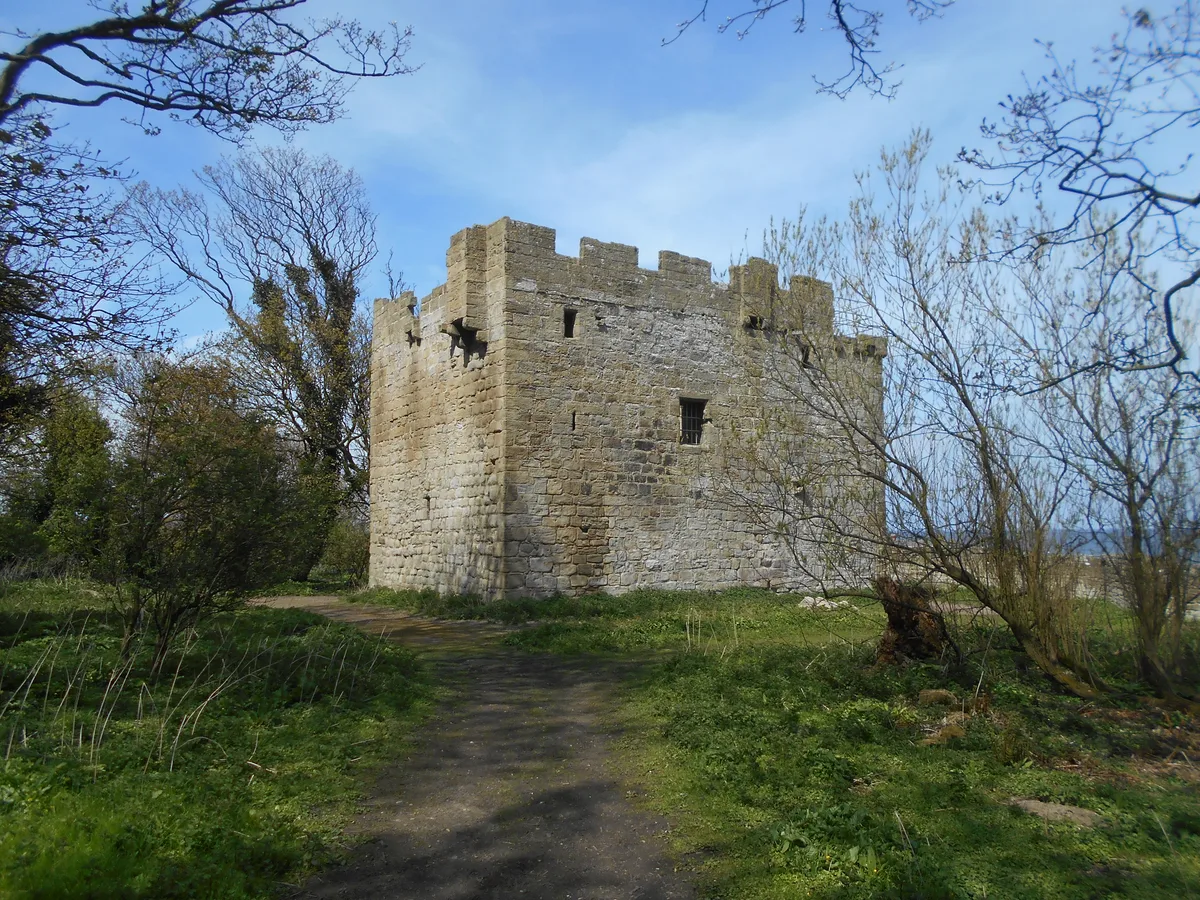
Cresswell Castle
Castles · 2.1 km

Cresswell Pele Tower
Historic houses · 2.1 km

Broad Sand Rocks
Beaches · 2.2 km
Nearby
📷 5Towns & cities · North East England
Ellington
Ellington — village in Northumberland, United Kingdom.
📷 5📷 5Towns & cities · North East England
Lynemouth
Lynemouth — village in Northumberland, England, UK.
📷 3Theatres · North East England
Red Row Picture Hall
Red Row Picture Hall in England North East, United Kingdom.
📷 5Caravan parks · North East England
Ellington Caravan Park
Ellington Caravan Park — a caravan park in scotland lowlands.
📷 3Mines & mining heritage · North East England
Lynemouth Colliery
Lynemouth Colliery in England North East, United Kingdom.
Where to eat & stay near Ellington Colliery
Places to stay
📷 5Caravan parks · North East England
Ellington Caravan Park
Ellington Caravan Park — a caravan park in scotland lowlands.
 📷 5
📷 5 📷 7
📷 7Hotels · North East England
The Commissioners Quay Inn
The Commissioners Quay Inn — a hotel in scotland lowlands.
 📷 5
📷 5Caravan parks · North East England
Silvercarrs Caravan Park
Silvercarrs Caravan Park — a caravan park in scotland lowlands.
 📷 5
📷 5Caravan parks · North East England
Felmoor Park
Felmoor Park — a caravan park in scotland lowlands.
 📷 5
📷 5Places to eat & drink
 📷 5
📷 5 📷 5
📷 5Historic pubs · North East England
The Dock Public House
The Dock Public House in England North East, United Kingdom.
 📷 5
📷 5Historic pubs · North East England
Northumberland Arms
Northumberland Arms in Scotland Lowlands, United Kingdom.
 📷 3
📷 3Historic pubs · North East England
The Kings Arms
The Kings Arms — Historic pub — listed building or notable heritage status.
 📷 5
📷 5Historic pubs · North East England
The Anglers Arms
The Anglers Arms in Scotland Lowlands, United Kingdom.
 📷 5
📷 5Historic pubs · North East England
Border Minstrel
Border Minstrel in Scotland Lowlands, United Kingdom.
More places in this region
 📷 5
📷 5Mines & mining heritage · North East England
Grinkle Mine
Grinkle Mine — former ironstone mine in North Yorkshire, England.
 📷 3
📷 3Mines & mining heritage · North East England
North Skelton Mine
North Skelton Mine — disused ironstone mine in Cleveland, England.
 📷 4
📷 4Mines & mining heritage · North East England
Carrshield
Carrshield in England North East, United Kingdom.
 📷 4
📷 4Mines & mining heritage · North East England
Old Powder Magazine
Old Powder Magazine in England North East, United Kingdom.
Frequently asked questions
- Where is Ellington Colliery?
- Ellington Colliery is in North-East England, United Kingdom (postcode NE61 5BU), in the parish of Ellington and Linton.
- What is Ellington Colliery?
- Ellington Colliery in England North East, United Kingdom.
- How do I get to Ellington Colliery?
- The nearest railway station is Lakeside Halt, about 2.3 km away. Drivers can use postcode NE61 5BU.
- Who owns Ellington Colliery?
- Ellington Colliery is owned by See section.
- Is Ellington Colliery a protected site?
- Yes — Ellington Colliery is part of the Northumberland Shore SSSI Site of Special Scientific Interest.
- How do I get to Ellington Colliery?
- The nearest railway station is Lakeside Halt, about 2.3 km away. Drivers can navigate to postcode NE61 5BU.