Islands · Scottish Highlands
Eilean Mhuire
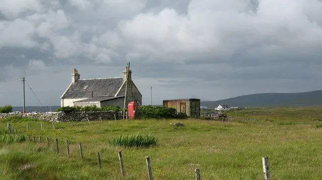
Eilean Mhuire — island of the Shiant Islands, Outer Hebrides, Scotland, UK.

Wikimedia Commons contributors — see linked file page for photographer and licence licence
Plan your visit
- Typical visit
- 4 h–12 h
- Free entry
- Dog-friendly
About
Eilean Mhuire is a island in the United Kingdom. Part of Shiant Islands. Wikidata describes it as: "island of the Shiant Islands, Outer Hebrides, Scotland, UK". Coordinates: 57.9000°, -6.3333°.
Photo gallery
From the Wikipedia article
Eilean Mhuire (meaning "Virgin Mary's island") is the most easterly of the Shiant Islands in the Outer Hebrides. Once populated, Eilean Mhuire is now used only for grazing sheep. There was an old local tradition that said there used to be a chapel on the island. There are various ruins on the island, and the Ordnance Survey mark some remains as that of a “St. Mary's Chapel" on the western side of the island. But this is based only on information provided in 1851 that the island had been the refuge of a priest "in the time of Knox". Nicolson (2002) has concluded that this tradition is mistaken, but has speculated that Eilean Mhuire may instead have been a hermitage in pre-Norse times. (And there was in fact a chapel on nearby Eilean an Taighe, possibly devoted to the Virgin Mary.) In 1549, Donald Monro, then Dean of the Isles, wrote that Eilean Mhuire was: callit Senchastle by the Eriche, that is the alde castle ile in the Englishe, an strenthe, full of corne and grassinge, full of wyld fowls nests, and verey guid for fishing. It perteins to M’Cloyd of the Lewis. Today, Seann Chaisteal (“old castle”) is the name of the flat-topped tidal islet at the south-eastern extremity of Eilean Mhuire. This islet is a "large tidal rock on which there never was a building of any kind", so the name may simply have been inspired by the rock's shape and appearance.
Excerpt from Wikipedia under CC BY-SA 4.0. See the source article linked in Sources below.
- Coordinates
- 57.9000, -6.3333
- Official site
- web.archive.org
Sources
- wikidata: Q3777162 (CC0)
- wikipedia: Eilean Mhuire (CC BY-SA 4.0)
- commons: Looking east from Garbh Eilean - geograph.org.uk - 496592.jpg (CC BY-SA 4.0)
Other places nearby
Loading nearby places…
Nearby
 📷 3
📷 3Islands · Scottish Highlands
Eilean an Taighe
Eilean an Taighe — island of the Shiant Islands, Outer Hebrides, Scotland, UK.
 📷 4
📷 4Islands · Scottish Islands
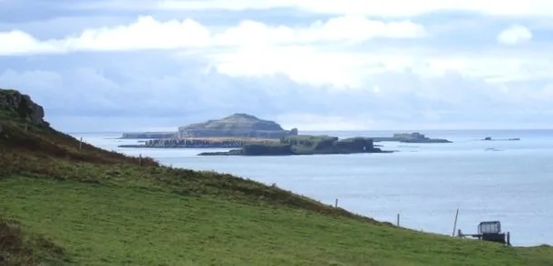
Shiant Islands
Shiant Islands in Scotland Islands, United Kingdom.
 📷 5
📷 5Islands · Scottish Highlands
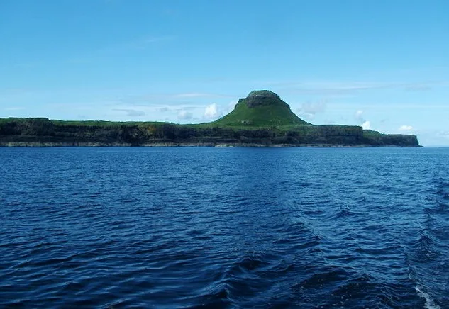
Garbh Eilean
Garbh Eilean — island in Shiant Islands, Scotland, United Kingdom.
 📷 3
📷 3Lighthouses · Scottish Highlands
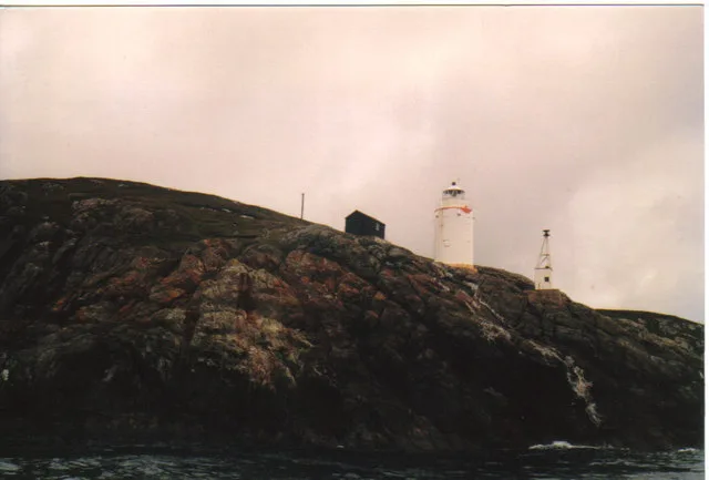
Rubh Uisenis light
Rubh Uisenis light — lighthouse in Outer Hebrides, Scotland, UK.
Mountains & hills · Scottish Highlands
Loch Bhrolluim
Loch Bhrolluim — bay in Outer Hebrides, Scotland, UK.
 📷 5
📷 5Islands · Scottish Highlands
Eilean Liubhaird
Eilean Liubhaird — island in Outer Hebrides, Scotland, UK.
More places in this region
 📷 5
📷 5Islands · Scottish Highlands
Bac Beag
Bac Beag — Scottish island, part of the Treshnish Isles in the Inner Hebrides.
 📷 5
📷 5Islands · Scottish Highlands
Bac Mòr
Bac Mòr — island in Argyll and Bute, Scotland, UK, one of the Treshnish Isles.
 Flagship📷 3
Islands · Scottish Highlands
Baleshare
Baleshare — flat tidal island in the Outer Hebrides, Scotland, UK.
 Flagship📷 5
Islands · Scottish Highlands
Barra
Barra — island in Outer Hebrides, Scotland, UK.
Frequently asked questions
- Where is Eilean Mhuire?
- Eilean Mhuire is in Scottish Highlands, in the United Kingdom — coordinates 57.9000°, -6.3333°.
- Is Eilean Mhuire free to visit?
- Yes — admission to Eilean Mhuire is free.