
Caves · North West England
Echo Pit
In or near Silverdale.
Echo Pit — cave in england north west.

Peter Bond — CC BY-SA 2.0 via Wikimedia Commons licence

Plan your visit
- Typical visit
- 45 min–1.5 h
- Nearest railway station
- Silverdale · 1.8 km
About
Echo Pit is a cave located in england north west. A British cave recorded in OpenStreetMap. Most are in carboniferous limestone country.
Photo gallery
Protected designations
- Site of Special Scientific Interest: Morecambe Bay SSSI
- Area of Outstanding Natural Beauty: Arnside & Silverdale
- Ramsar wetland: Morecambe Bay
Designations sourced from Natural England open data under OGL v3.
Place summary
Echo Pit is a cave located in North-West England. It is noted for its distinctive acoustics, which create unique sound reverberations. The cave's geological features attract visitors interested in natural formations and the study of underground environments. Access may require some navigation through rugged terrain, appealing to those with an interest in caving and exploration.
AI-generated from the structured facts on this page (operator, designation, listing, era). Not a substitute for visiting.
- Coordinates
- 54.1545, -2.7908
- County
- Lancashire
- District
- Lancaster
- Parish
- Warton
- Postcode
- LA5 9RZ
- Parliamentary constituency
- Morecambe and Lunesdale
- Nearest railway station
- Silverdale — 1.8 km
Sources
- osm: n12258773325 (ODbL)
Other places nearby
Wall Hole
Caves · 0.0 km

Toad Hole
Caves · 0.1 km
Dog Holes Cave
Caves · 0.5 km

Scar Close
Campsites · 0.5 km

Badger Hole
Caves · 0.7 km
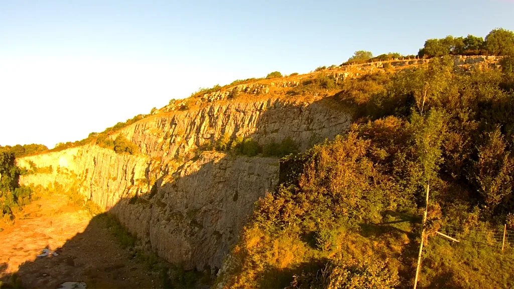
Warton Crag
Mountains & hills · 1.0 km

Small multivallate hill fort
Hill forts · 1.0 km

Warton Crag small multivallate hillfort
Vineyards · 1.0 km

Warton Upper Crag
Viewpoints · 1.1 km

Warton Crag Rocking stones
Viewpoints · 1.1 km
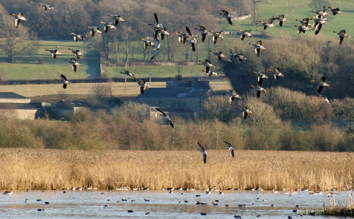
Leighton Moss RSPB reserve
Wildlife reserves · 1.1 km

Harry Hest Hole
Caves · 1.2 km
Nearby
📷 5📷 5📷 5Caves · North West England
Dog Holes Cave
Dog Holes Cave — a cave broad in england-north-west, United Kingdom.
📷 5Campsites · North West England
Scar Close
Scar Close — a campsite in england north west.
📷 5📷 3Where to eat & stay near Echo Pit
Places to stay
📷 5Campsites · North West England
Scar Close
Scar Close — a campsite in england north west.
 📷 5
📷 5Campsites · North West England
SilverHelme Scout Camp
SilverHelme Scout Camp — a campsite in england north west.
 📷 5
📷 5Caravan parks · North West England
Gibraltar Farm
Gibraltar Farm — a caravan park in england north west.
 📷 5
📷 5Campsites · North West England
Gibraltar Farm
Gibraltar Farm — a campsite in england north west.
 📷 5
📷 5Caravan parks · North West England
Marsh House Farm Caravan Park
Marsh House Farm Caravan Park — a caravan park in england north west.
 📷 5
📷 5Caravan parks · North West England
Old Waterslack Farm
Old Waterslack Farm — a caravan park in england north west.
Places to eat & drink
 📷 3
📷 3Historic pubs · North West England
The Eagles Head
The Eagles Head — Historic pub — listed building or notable heritage status.
 📷 7
📷 7 📷 3
📷 3Historic pubs · North West England
Wagon & Horses
Wagon & Horses — Historic pub — listed building or notable heritage status.
 📷 3
📷 3Historic pubs · North West England
George & Dragon
George & Dragon — Historic pub — listed building or notable heritage status.
 📷 7
📷 7Historic pubs · North West England
The Three Mariners Public House
The Three Mariners Public House in England North West, United Kingdom.
.jpg?width=1200) 📷 4
📷 4Historic pubs · North West England
The Bobbin
The Bobbin — Historic pub — listed building or notable heritage status.
More caves in this region
 📷 3
📷 3 📷 3
📷 3 📷 3
📷 3 📷 3
📷 3Caves · North West England
Austwick Beck Head
Austwick Beck Head is a cave in the United Kingdom.
Frequently asked questions
- Where is Echo Pit?
- Echo Pit is in Lancashire, North-West England, United Kingdom (postcode LA5 9RZ), in the parish of Warton.
- What is Echo Pit?
- Echo Pit — cave in england north west.
- How do I get to Echo Pit?
- The nearest railway station is Silverdale, about 1.8 km away. Drivers can use postcode LA5 9RZ.
- Is Echo Pit a protected site?
- Yes — Echo Pit is part of the Morecambe Bay SSSI Site of Special Scientific Interest and the Arnside & Silverdale National Landscape (AONB).
- How do I get to Echo Pit?
- The nearest railway station is Silverdale, about 1.8 km away. Drivers can navigate to postcode LA5 9RZ.