
Reservoirs & lochs · North Wales
Dyffryn Mymbyr
In or near Capel Garmon.
Dyffryn Mymbyr is a valley in Snowdonia, in north-west Wales, approximately 5 miles (8.0 km) in length, and leading up from Capel Curig to the Pen-y-Gwryd hotel. The river Nantygwryd, originally calle

John Firth — CC BY-SA 2.0 via Wikimedia Commons licence

Plan your visit
- Typical visit
- 1 h–2.5 h
- Nearest railway station
- Roman Bridge · 6.1 km
- Free entry
- Dog-friendly
Getting there & planning your visit
To visit Dyffryn Mymbyr, the nearest railway station is Roman Bridge, located 6.1 km away. Entry is free, and the postcode for sat-nav is LL24 0ES.
About
Dyffryn Mymbyr is a valley in Snowdonia, in north-west Wales, approximately 5 miles (8.0 km) in length, and leading up from Capel Curig to the Pen-y-Gwryd hotel. The river Nantygwryd, originally called Y Mymbyr in Llywelyn the Great's charter of 1198, starts at Llyn Cwm-y-ffynnon, high above the Pen-y-Gwryd hotel, and flows into Llynnau Mymbyr going towards Capel Curig. The valley, like the river, lies both in Gwynedd and Conwy County Borough. Today there are at least two active, hill rearing, sheep farms; Garth, featured in the 1967 BBC Wales documentary "Shepherds of Moel Siabod", and Cwm Farm. The area commands excellent views of the Snowdon horseshoe, which (viewed left to right) takes in the peaks of Y Lliwedd, Snowdon (Yr Wyddfa), Crib Goch and Crib y Ddysgl. The valley is the location of the Capel Curig weather station, which on many occasions has recorded the wettest weather in Wales .
Photo gallery
Heritage listing
http://cadwpublic-api.azurewebsites.net/reports/listedbuilding/FullReport?lang=en&id=3180
From Cadw under OGL v3.
From the Wikipedia article
Dyffryn Mymbyr is a valley in Snowdonia, in north-west Wales, approximately 5 miles (8.0 km) in length, and leading up from Capel Curig to the Pen-y-Gwryd hotel. The river Nantygwryd, originally called Y Mymbyr in Llywelyn the Great's charter of 1198, starts at Llyn Cwm-y-ffynnon, high above the Pen-y-Gwryd hotel, and flows into Llynnau Mymbyr going towards Capel Curig. The valley, like the river, lies both in Gwynedd and Conwy County Borough. Today there are at least two active, hill rearing, sheep farms; Garth, featured in the 1967 BBC Wales documentary "Shepherds of Moel Siabod", and Cwm Farm. The area commands excellent views of the Snowdon horseshoe, which (viewed left to right) takes in the peaks of Y Lliwedd, Snowdon (Yr Wyddfa), Crib Goch and Crib y Ddysgl. The valley is the location of the Capel Curig weather station, which on many occasions has recorded the wettest weather in Wales .
Excerpt from Wikipedia under CC BY-SA 4.0. See the source article linked in Sources below.
- Coordinates
- 53.0965, -3.9501
- District
- Conwy
- Parish
- Capel Curig
- Postcode
- LL24 0ES
- Parliamentary constituency
- Bangor Aberconwy
- Nearest railway station
- Roman Bridge — 6.1 km
Sources
- wikipedia: Dyffryn Mymbyr (CC BY-SA 4.0)
Other places nearby

Garth Farm
Campsites · 0.6 km

Cefn y Capel
Mountains & hills · 1.2 km
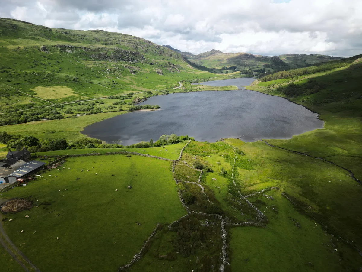
Llynnau Mymbyr
Natural landmarks · 1.4 km
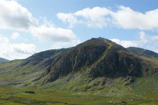
Gallt yr Ogof
Natural landmarks · 1.5 km
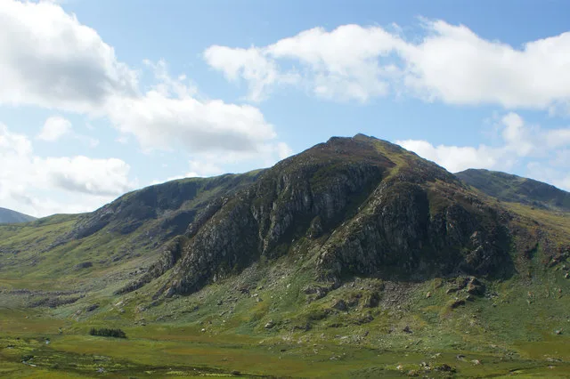
Gallt yr Ogof
Mountains & hills · 1.6 km
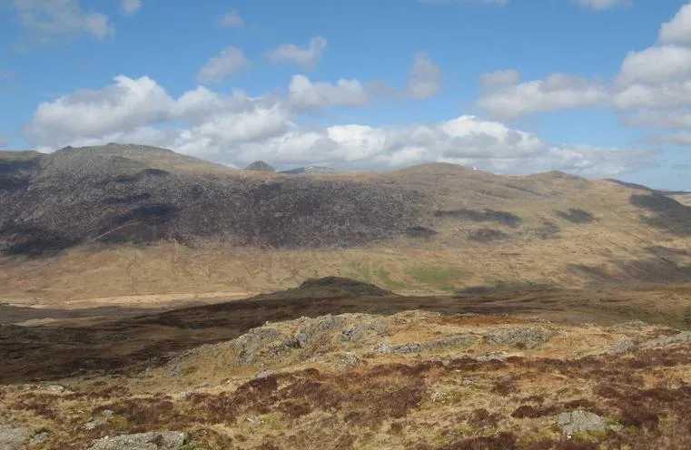
Y Foel Goch
Mountains & hills · 2.0 km
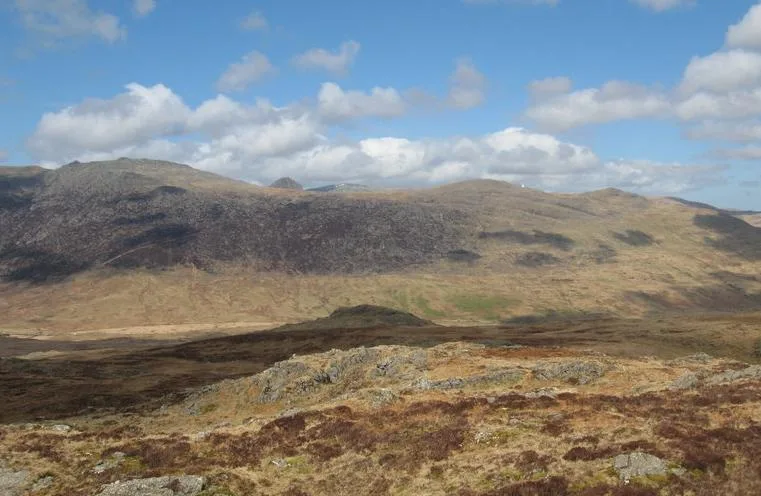
Y Foel Goch
Natural landmarks · 2.0 km

Plas y Brenin
Other places · 2.2 km

St Juliatta's Church
Historic churches · 2.4 km

Bryn Engan Cottage
Hostels · 2.5 km

Moel Gid
Mountains & hills · 2.6 km

Hen Bont
Historic bridges · 2.7 km
Nearby
📷 5Campsites · North Wales
Garth Farm
Garth Farm — a campsite in wales north.
📷 5Mountains & hills · North Wales
Cefn y Capel
Cefn y Capel — mountain in wales north. Elevation: 460 m.
📷 3📷 3Natural landmarks · North Wales
Gallt yr Ogof
Gallt yr Ogof — mountain (763m) in Conwy County Borough.
📷 3Mountains & hills · North Wales
Gallt yr Ogof
Gallt yr Ogof — Named summit at 763 m.
📷 3Where to eat & stay near Dyffryn Mymbyr
Places to stay
📷 5Campsites · North Wales
Garth Farm
Garth Farm — a campsite in wales north.
📷 5 📷 5
📷 5Campsites · North Wales
Gwern Gôf Isaf Campsite & Bunkhouses
Gwern Gôf Isaf Campsite & Bunkhouses — a campsite in wales north.
 📷 5📷 5
 📷 7
📷 7Places to eat & drink
 📷 7
📷 7Restaurants · North Wales
Tafarn Tryfan
Tafarn Tryfan — a restaurant in wales north.
 📷 5
📷 5 📷 7
📷 7 📷 7
📷 7 📷 5
📷 5Historic pubs · North Wales
The George and Dragon
The George and Dragon — Historic pub — listed building or notable heritage status.
 📷 7
📷 7More places in this region
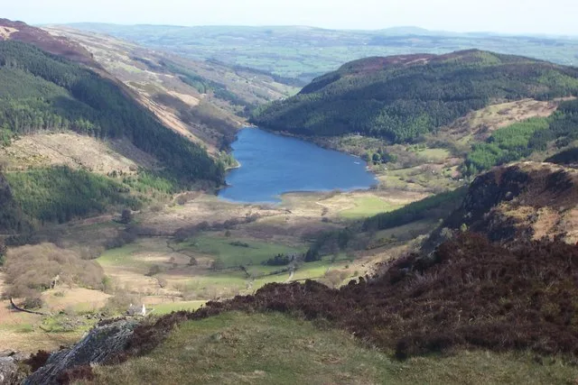 Flagship📷 4
Reservoirs & lochs · North Wales
Llyn Crafnant
Llyn Crafnant — lake in Conwy County Borough, Wales.
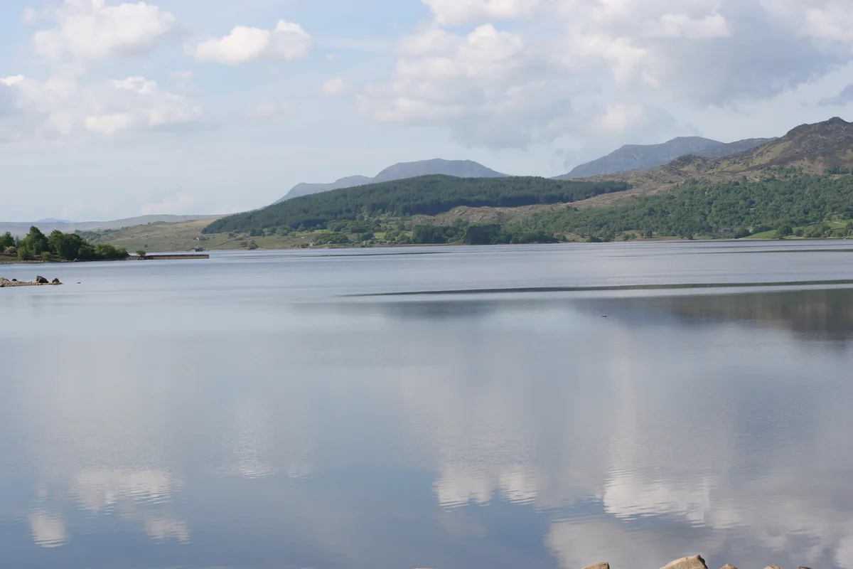 Flagship📷 3
Reservoirs & lochs · North Wales
Llyn Trawsfynydd
Llyn Trawsfynydd — reservoir lake in Gwynedd, Wales.
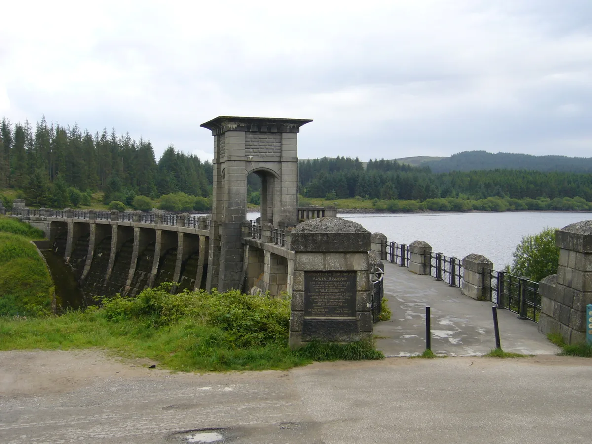 📷 3
📷 3Reservoirs & lochs · North Wales
Alwen Reservoir
Alwen Reservoir — reservoir in the United Kingdom.
 📷 4
📷 4Reservoirs & lochs · North Wales
Coedty Reservoir
Coedty Reservoir — reservoir in the United Kingdom.
Frequently asked questions
- Where is Dyffryn Mymbyr?
- Dyffryn Mymbyr is in North Wales, United Kingdom (postcode LL24 0ES), in the parish of Capel Curig.
- What is Dyffryn Mymbyr?
- Dyffryn Mymbyr is a valley in Snowdonia, in north-west Wales, approximately 5 miles (8.0 km) in length, and leading up from Capel Curig to the Pen-y-Gwryd hotel. The river Nantygwryd, originally calle
- How do I get to Dyffryn Mymbyr?
- The nearest railway station is Roman Bridge, about 6.1 km away. The nearest town is Capel Garmon. Drivers can use postcode LL24 0ES.
- Is Dyffryn Mymbyr a listed building?
- Dyffryn Mymbyr is officially recognised as II listed.
- Is Dyffryn Mymbyr free to visit?
- Yes, Dyffryn Mymbyr is free to enter.
- How do I get to Dyffryn Mymbyr?
- The nearest railway station is Roman Bridge, about 6.1 km away. Drivers can navigate to postcode LL24 0ES.