
Memorials & monuments · London
Dyers' Hall
In or near City of London.
Dyers' Hall — a memorial in england-london, United Kingdom.

Stephen Craven — CC BY-SA 2.0 via Wikimedia Commons licence

Plan your visit
- Typical visit
- 15 min–45 min
- Nearest railway station
- London Cannon Street · 0.2 km
- Free entry
- Dog-friendly
Getting there & planning your visit
Dyers' Hall is located at postcode EC4R 3AD in the City of London, with the nearest railway station being London Cannon Street, just 0.2 km away. Entry is free, but please note that the venue is not wheelchair accessible.
About
Dyers' Hall is a memorial located in england-london, United Kingdom. Sourced from OpenStreetMap (ODbL licence); see local listings for visitor information, opening hours and admission details.
Photo gallery
360° viewimagery from 2025
Imagery © Mapillary contributors, CC BY-SA 4.0
From the Wikipedia article
The Dyers Almshouses are a group of 30 almshouses belonging to the Worshipful Company of Dyers, a London Livery Company. Built in three stages between 1939 and 1971, they are located close to the town centre of Crawley, a New Town and borough in West Sussex, England. The distinctive Arts and Crafts-influenced buildings are arranged around a courtyard on a street close to Crawley town centre, and have been granted conservation area and locally listed building status.
Excerpt from Wikipedia under CC BY-SA 4.0. See the source article linked in Sources below.
Background
History
The Worshipful Company of Dyers received its royal charter in 1471, but the profession had a presence in the City of London from the late 12th century. The company's first almshouse dated from 1545, when Robert Tyrwhitt gave the company a messuage in London. Over the next 200 years, another 25 houses were built across London. In 1840, a group of 26 almshouses were built in Islington in North London to replace these older buildings. Before World War II, Crawley was a slowly growing market town based around a north–south High Street. Beyond the buildings fronting the road, ancient fields and allotments survived. Towards the north end of the street, a footpath ran southeastwards between…
Architecture
W.H. Hatchard-Smith but most of their work was architecturally unassuming: New Town buildings were typically "run-of-the-mill, curtain-walled ... [with] a reassuring uniformity with nothing regimented about it". Accordingly, the almshouses stand out: they have large and ornate brick chimney-stacks, steep roofs reaching nearly to ground level, deep tile-hung gables and stock brick walls in two shades of red (darker brick is used around the windows). Heavy Tudor-style oak doors with iron door furniture survive. Some of the iron drainpipes from the old almshouses at Islington were apparently recovered when they were sold and were reinstated on the new buildings: several bear the date 1852. The…
Sourced from Wikipedia under CC BY-SA 4.0.
- Coordinates
- 51.5098, -0.0887
- District
- City of London
- Parish
- City of London, unparished area
- Postcode
- EC4R 3AD
- Parliamentary constituency
- Cities of London and Westminster
- Established
- 1940
- Nearest railway station
- London Cannon Street — 0.2 km
- Official site
- www.londonmithraeum.com
Sources
- osm: node/1731219982 (ODbL)
- wikipedia: Dyers Almshouses (CC BY-SA 4.0)
Other places nearby

The Roman riverside wall and wharves at Riverbank House
Marinas · 0.0 km
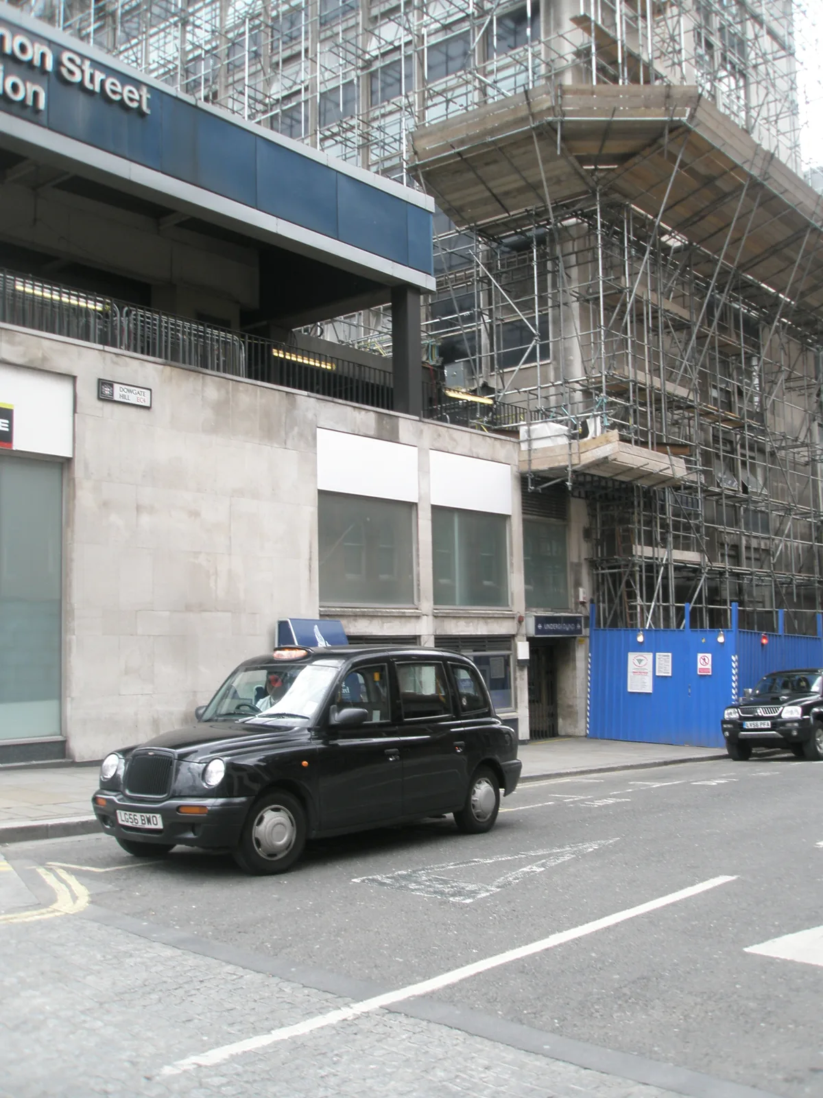
St Mary Bothaw
Historic churches · 0.0 km
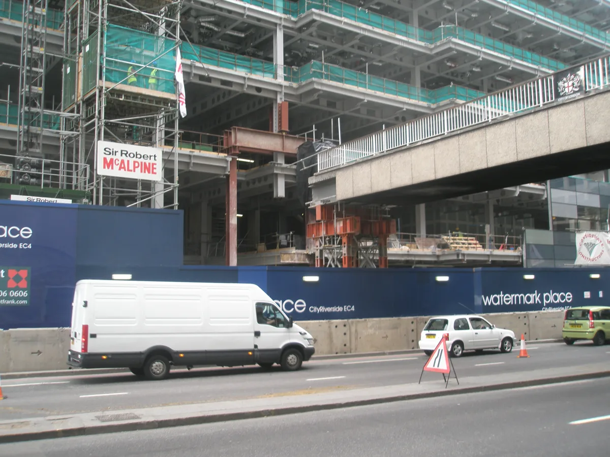
All-Hallows-the-Less
Historic churches · 0.0 km

The Olde Wine Shades
Historic houses · 0.1 km

The Olde Wine Shades
Historic pubs · 0.1 km
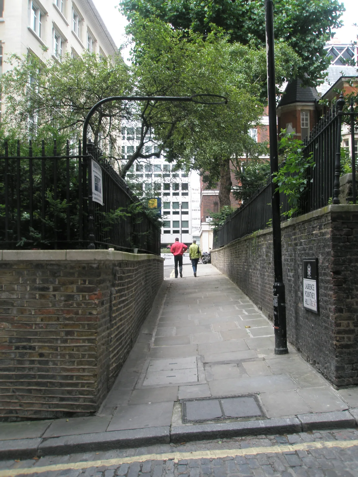
St Laurence Pountney
Historic churches · 0.1 km

Site of Laurence Pountney Church and Corpus Christi College
Memorials & monuments · 0.1 km

Fishmongers' Hall
Gardens · 0.1 km

Mondial House
Gardens · 0.1 km
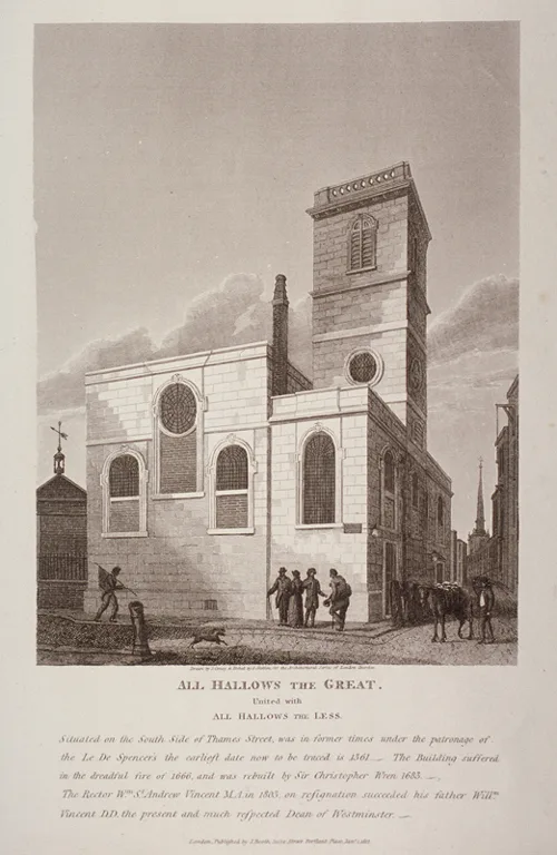
All-Hallows-the-Great
Historic churches · 0.1 km
Pountney Hill House
Gardens · 0.1 km

St Martin Orgar
Memorials & monuments · 0.1 km
Nearby
📷 5Marinas · London
The Roman riverside wall and wharves at Riverbank House
The Roman riverside wall and wharves at Riverbank House — a marina in england london.
📷 5Historic churches · London
St Mary Bothaw
St Mary Bothaw — church in City of London, UK.
📷 5Historic churches · London
All-Hallows-the-Less
All-Hallows-the-Less — church in the City of London.
📷 5Historic houses · London
The Olde Wine Shades
The Olde Wine Shades — a Grade II*-listed historic house in england-london, United Kingdom.
📷 5Historic pubs · London
The Olde Wine Shades
The Olde Wine Shades in England London, United Kingdom.
📷 5Historic churches · London
St Laurence Pountney
St Laurence Pountney — church destroyed in the Great Fire of London.
Where to eat & stay near Dyers' Hall
Places to stay
 📷 5
📷 5Hotels · London
Suffolk Lane by BridgeStreet
Suffolk Lane by BridgeStreet — a hotel in england london.
 📷 5
📷 5 📷 5
📷 5Hotels · London
Travelodge London Central Bank
Travelodge London Central Bank — a hotel in england london.
 📷 5
📷 5 📷 5
📷 5 📷 5
📷 5Hotels · London
London Bridge Hotel
London Bridge Hotel — a hotel in england london.
Places to eat & drink
📷 5Historic pubs · London
The Olde Wine Shades
The Olde Wine Shades in England London, United Kingdom.
 📷 5
📷 5 📷 7
📷 7Cafés · London
Joe & The Juice
Joe & The Juice — a café in england london. Cuisine: coffee shop. Brand: Joe & The Juice.
 📷 7
📷 7 📷 6
📷 6 📷 5
📷 5Historic pubs · London
Jamaica Wine House
Jamaica Wine House in England London, United Kingdom.
More memorials in this region
.jpg?width=1200) 📷 5
📷 5Memorials & monuments · London
1st Surrey Rifles War Memorial
1st Surrey Rifles War Memorial is a memorial in the United Kingdom.
 📷 5
📷 5Memorials & monuments · London
24th East Surrey Division War Memorial
24th East Surrey Division War Memorial is a memorial in the United Kingdom.
 📷 5
📷 5Memorials & monuments · London
Abney Park Cemetery CWGC Cross
Abney Park Cemetery CWGC Cross is a memorial in the United Kingdom.
 📷 5
📷 5Memorials & monuments · London
Admiral Sir John Franklin
Admiral Sir John Franklin is a memorial in the United Kingdom.
Frequently asked questions
- Where is Dyers' Hall?
- Dyers' Hall is in London, United Kingdom (postcode EC4R 3AD), in the parish of City of London, unparished area.
- What is Dyers' Hall?
- Dyers' Hall — a memorial in england-london, United Kingdom.
- How do I get to Dyers' Hall?
- The nearest railway station is London Cannon Street, about 0.2 km away. Drivers can use postcode EC4R 3AD.
- When was Dyers' Hall built?
- Built or established in 1940.
- Who owns Dyers' Hall?
- Dyers' Hall is owned by Worshipful Company of Dyers.
- Is Dyers' Hall free to visit?
- Yes, Dyers' Hall is free to enter.
- How do I get to Dyers' Hall?
- The nearest railway station is London Cannon Street, about 0.2 km away. Drivers can navigate to postcode EC4R 3AD.