Mountains & hills · South West England
Dunkery Hill
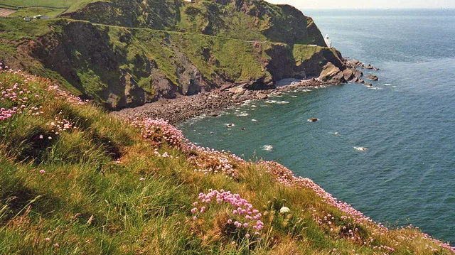
Dunkery Hill — mountain in england south west. Elevation: 426 m.

David Smith — CC BY-SA 2.0 via Wikimedia Commons licence
Plan your visit
- Typical visit
- 3 h–8 h
- Best time of year
- Late spring – early autumn (May–Oct)
About
Dunkery Hill is a mountain located in england south west. Elevation: 426 m. A named British peak recorded in OpenStreetMap. Peaks are typically named on Ordnance Survey 1:50k mapping.
Photo gallery
Place summary
Dunkery Hill is the highest point in the Exmoor National Park, located in South-West England. Standing at 519 metres, it offers expansive views of the surrounding moorland and coastline. The area is popular for walking and hiking, with various trails suitable for different skill levels. Visitors can expect a rugged landscape characterised by heather-covered hills and diverse wildlife.
AI-generated from the structured facts on this page (operator, designation, listing, era). Not a substitute for visiting.
- Coordinates
- 51.1730, -3.5636
Sources
- osm: n10286262391 (ODbL)
Other places nearby
Loading nearby places…
Nearby
 📷 3
📷 3Mountains & hills · South West England
Dunkery Hill
Dunkery Hill — a mountain in england-south-west, United Kingdom.
 📷 5
📷 5Viewpoints · South West England
Jubilee Hut
Jubilee Hut is a viewpoint in the United Kingdom.
 📷 5
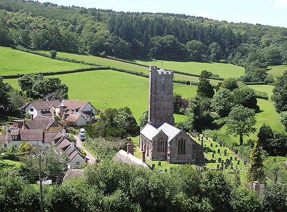
📷 5Historic churches · South West England
Church of St Mary
Church of St Mary — church in Luccombe, Somerset, England, UK.
 📷 5
📷 5Towns & cities · South West England
Luccombe
Luccombe — village in West Somerset, Somerset in England.
Mountains & hills · South West England
Dunkery Beacon
Dunkery Beacon — Named summit at 519 m.
 📷 5
📷 5Campsites · South West England
Horner Wood Scout Campsite
Horner Wood Scout Campsite — a campsite in england south west.
Where to eat & stay near Dunkery Hill
Places to stay
📷 5Campsites · South West England
Horner Wood Scout Campsite
Horner Wood Scout Campsite — a campsite in england south west.
 📷 5
📷 5Caravan parks · South West England
Burrowhayes Caravan Park
Burrowhayes Caravan Park — a caravan park in england south west.
 📷 5
📷 5Hotels · South West England
HF Holidays Holnicote House
HF Holidays Holnicote House — a hotel in england south west.
 📷 5
📷 5Campsites · South West England
Pool Bridge
Pool Bridge — a campsite in england south west.
 📷 5
📷 5B&Bs · South West England
Cross Lane House
Cross Lane House — a bed-and-breakfast in england south west.
 📷 5
📷 5B&Bs · South West England
The Gables
The Gables — a bed-and-breakfast in england south west.
Places to eat & drink
 📷 5
📷 5Historic pubs · South West England
The Old Ship Aground Public House
The Old Ship Aground Public House in England South West, United Kingdom.
 📷 5
📷 5Historic pubs · South West England
Queens Hall, Minehead
Queens Hall, Minehead in England South West, United Kingdom.
 📷 5
📷 5Restaurants · South West England
Hathaways
Hathaways — a restaurant in england south west.
 📷 5
📷 5Cafés · South West England
Castle Coffee House
Castle Coffee House — a café in england south west.
 📷 5
📷 5Cafés · South West England
Cobblestones
Cobblestones — a café in england south west.
 📷 5
📷 5Historic pubs · South West England
Luttrell Arms
Luttrell Arms in England South West, United Kingdom.
More mountains in this region
 📷 5
📷 5Mountains & hills · South West England
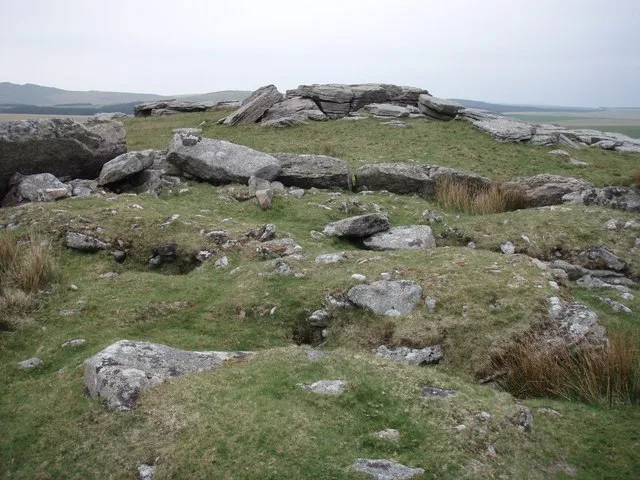
Alex Tor
Alex Tor — Named summit at 291 m.
 📷 5
📷 5Mountains & hills · South West England
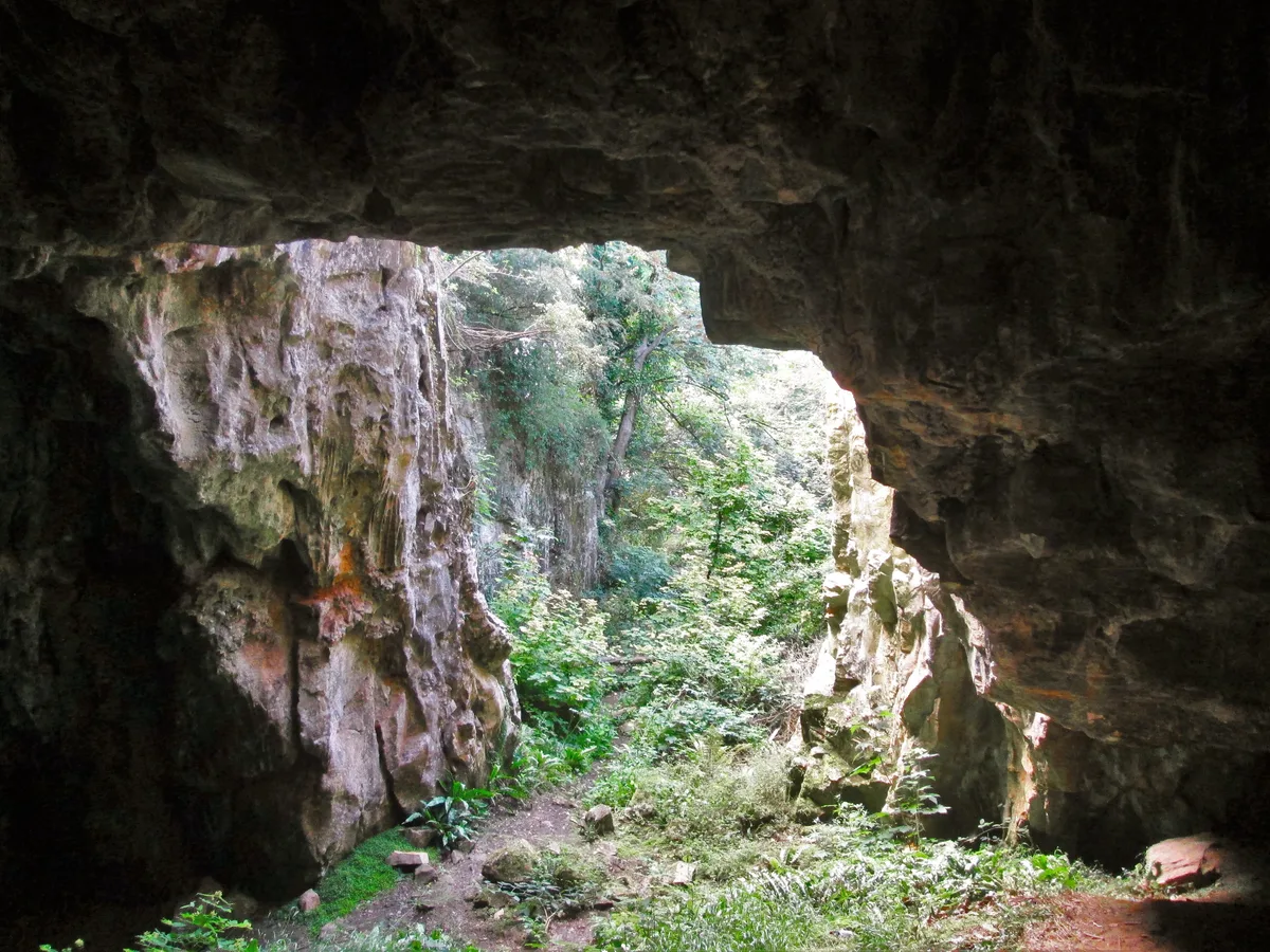
Ash Hole Cavern
Ash Hole Cavern — cave in Brixham, Devon, England, UK.
 📷 5
📷 5Mountains & hills · South West England
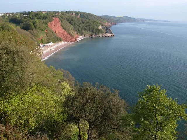
Babbacombe Bay
Babbacombe Bay — bay in Devon, England.
 📷 5
📷 5Mountains & hills · South West England
Barley Bay
Barley Bay — bay in the United Kingdom.
Frequently asked questions
- Where is Dunkery Hill?
- Dunkery Hill is in South-West England, United Kingdom.
- What is Dunkery Hill?
- Dunkery Hill — mountain in england south west. Elevation: 426 m.
- How do I get to Dunkery Hill?
- Its coordinates are 51.1730°, -3.5636°.