
Hill forts · Scottish Islands
Dun an Sticir
In or near Lochmaddy.
Dun an Sticir — broch in Outer Hebrides, Scotland, UK.

Wikimedia Commons contributors — see linked file page for photographer and licence licence

Plan your visit
- Typical visit
- 1 h–2 h
- Free entry
- Family-friendly
- Dog-friendly
About
Dun an Sticir is a hill fort in the United Kingdom. Heritage designation: scheduled monument. Wikidata describes it as: "broch in Outer Hebrides, Scotland, UK". Coordinates: 57.6816°, -7.2077°.
Photo gallery
From the Wikipedia article
Dun an Sticir (Scottish Gaelic: Dùn an Sticir [ˈt̪un əɲ ˈʃtʲiçkʲɪɾʲ]) is an Iron Age broch situated approximately 9.5 kilometers north of Lochmaddy in a loch on North Uist in the Scottish Outer Hebrides. A building was erected on the site in the late medieval period.
Excerpt from Wikipedia under CC BY-SA 4.0. See the source article linked in Sources below.
Background
History
Dun an Sticir was probably built in the Iron Age in the period between 100 BC and 100 AD, like most brochs. Limited excavations resulted in finds of pottery. In the Middle Ages the broch was converted into a rectangular hall, inhabited Dun Sticir in 1602. As punishment, he was starved to death in the dungeon of Duntulm Castle on Skye.
Architecture
Dun an Sticir is located on an island in a loch. A wide stone causeway leads from the north to the island of Eilean na Mi-Chomhairle. A second, smaller causeway leads from the south side of the lake to the same island. A third causeway curves from that island to the east to the small island on which the broch lies. The causeways are partially submerged at high tide. The broch has a total diameter of 18 metres. The walls of the broch are 3.5 metres thick and in some places a little more than three metres high. The circular interior of the broch was in the Middle Ages transformed into a rectangular area 10 metres by 4.6 metres. The axis is northeast–southwest. The entrances are 1.1 metres…
Sourced from Wikipedia under CC BY-SA 4.0.
- Coordinates
- 57.6816, -7.2077
- District
- Na h-Eileanan Siar
- Postcode
- HS6 5AZ
- Parliamentary constituency
- Na h-Eileanan an Iar
Sources
- wikidata: Q1265220 (CC0)
- wikipedia: Dun an Sticir (CC BY-SA 4.0)
- commons: Dun an Sticer - Broch 2.jpg (CC BY-SA 4.0)
Other places nearby

Port nan Long
Villages · 0.5 km

Newtonferry
Archaeological sites · 0.6 km

Beinn a' Chaolais
Mountains & hills · 1.0 km

Beinn Bhreac
Mountains & hills · 1.1 km
Beinn Bhreac
Mountains & hills · 1.1 km

Beinn Mhòr
Mountains & hills · 1.5 km
Beinn Mhor
Mountains & hills · 1.5 km

North Uist Machair and Islands
Islands · 1.5 km

Tràigh Lingeigh
Beaches · 1.7 km

Otternish
Other places · 2.0 km

Angus MacAskill Monument
Memorials & monuments · 2.5 km

Clachan Sands Camping Area
Campsites · 2.5 km
Nearby
📷 5📷 4Archaeological sites · Scottish Islands
Newtonferry
Newtonferry in Scotland Islands, United Kingdom.
📷 5Mountains & hills · Scottish Islands
Beinn a' Chaolais
Beinn a' Chaolais — a hill or mountain in scotland highlands.
📷 5Mountains & hills · Scottish Islands
Beinn Bhreac
Beinn Bhreac — mountain in scotland highlands. Elevation: 149 m.
📷 5Mountains & hills · Scottish Islands
Beinn Bhreac
Beinn Bhreac — a hill or mountain in scotland highlands.
📷 5Mountains & hills · Scottish Islands
Beinn Mhòr
Beinn Mhòr — mountain in scotland highlands. Elevation: 190 m.
Where to eat & stay near Dun an Sticir
Places to stay
📷 5Campsites · Scottish Islands
Clachan Sands Camping Area
Clachan Sands Camping Area — a campsite in scotland highlands.
 📷 5
📷 5Hostels · Scottish Islands
John's Bunkhouse
John's Bunkhouse — a hostel in scotland highlands.
 📷 5
📷 5Hostels · Scottish Islands
Berneray Hostel
Berneray Hostel — a hostel in scotland highlands.
 📷 5
📷 5Hotels · Scottish Islands
Hamersay House
Hamersay House — a hotel in scotland highlands.
📷 5B&Bs · Scottish Islands
The Old Courthouse
The Old Courthouse — a bed-and-breakfast in scotland highlands.
 📷 3
📷 3Hostels · Scottish Islands
The Tractor Shed - Camping Pods and Bunkhouse
The Tractor Shed - Camping Pods and Bunkhouse — a hostel in scotland highlands.
Places to eat & drink
 📷 5
📷 5Historic pubs · Scottish Islands
Rodel Hotel, Harris
Rodel Hotel, Harris in Scotland Highlands, United Kingdom.
 📷 5
📷 5More places in this region
 📷 3
📷 3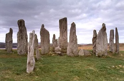 📷 5
📷 5Hill forts · Scottish Islands
Calanais Stones
Calanais Stones — neolithic standing stones near Calanais, Scotland.
 📷 5
📷 5Hill forts · Scottish Islands
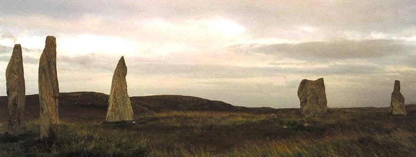
Callanish II
Callanish II — archaeological site in Outer Hebrides, Scotland, UK.
 📷 3
📷 3Hill forts · Scottish Islands
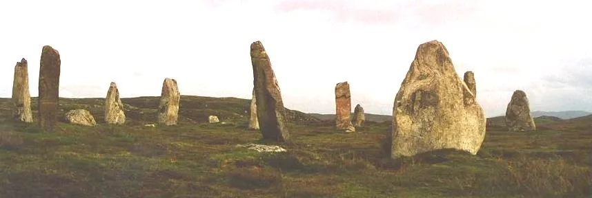
Callanish III
Callanish III — archaeological site in Outer Hebrides, Scotland, UK.
Frequently asked questions
- Where is Dun an Sticir?
- Dun an Sticir is in the Scottish Islands, United Kingdom (postcode HS6 5AZ).
- What is Dun an Sticir?
- Dun an Sticir — broch in Outer Hebrides, Scotland, UK.
- How do I get to Dun an Sticir?
- The nearest town is Lochmaddy. Drivers can use postcode HS6 5AZ.
- Is Dun an Sticir a listed building?
- Dun an Sticir is officially recognised as scheduled monument listed.
- Is Dun an Sticir free to visit?
- Yes, Dun an Sticir is free to enter.
- How do I get to Dun an Sticir?
- Drivers can navigate to postcode HS6 5AZ. It sits within the Na h-Eileanan an Iar parliamentary constituency.