
Historic bridges · East Midlands
Duffield Bridge
In or near Horsley.
Duffield Bridge — a Grade II-listed bridge in england-east-midlands, United Kingdom.

Dave Bevis — CC BY-SA 2.0 via Wikimedia Commons licence

Plan your visit
- Typical visit
- 15 min–30 min
- Nearest railway station
- Duffield · 0.7 km
- Free entry
- Dog-friendly
Getting there & planning your visit
Duffield Bridge is located in Amber Valley, Derbyshire, with the nearest railway station being Duffield, which is 0.7 km away. Entry to the bridge is free, and it is accessible for visitors. The postcode for navigation is DE56 4BA.
About
Duffield Bridge is a Grade II-listed building in england-east-midlands, United Kingdom. Grade II status is conferred by Historic England (or Cadw, Historic Environment Scotland or NIEA equivalents) on buildings of exceptional national interest. See the linked Wikipedia article for full historical and architectural details.
Photo gallery
Heritage listing
Details SK 34 SE PARISH OF DUFFIELD MAKENEY ROAD 4/17 13.2.67 Duffield Church Bridge (formerly listed as Duffield Bank bridge) II Road bridge over the River Derwent. Probably C16, widened in c1803 by Thomas Sykes. Sandstone ashlar. Three segmental pointed double chamfered arches. Triangular cutwaters, parapet with plain coping. Also scheduled as an Ancient Monument. Listing NGR: SK3503642966 Legacy The contents of this record have been generated from a legacy data system. Legacy System number: 78856 Legacy System: LBS
From the Historic England List Entry under OGL v3.
Official information
Duffield Bridge is part of the Duffield Millennium Meadow, which is a natural area managed by the Woodland Trust. Visitors can enjoy the scenic beauty and explore the woodland environment.
Place summary
Duffield Bridge is a Grade II* listed bridge located in the East Midlands. It is notable for its historical significance and architectural merit.
AI-generated from the structured facts on this page (operator, designation, listing, era). Not a substitute for visiting.
- Coordinates
- 52.9829, -1.4796
- County
- Derbyshire
- District
- Amber Valley
- Parish
- Duffield
- Postcode
- DE56 4BA
- Parliamentary constituency
- Mid Derbyshire
- Nearest railway station
- Duffield — 0.7 km
- Official site
- www.woodlandtrust.org.uk
Sources
- wikidata: Q17642219 (CC0)
Other places nearby

Road Bridge Over Railway By Duffield Church
Historic bridges · 0.2 km

Duffield War Memorial
Memorials & monuments · 0.2 km
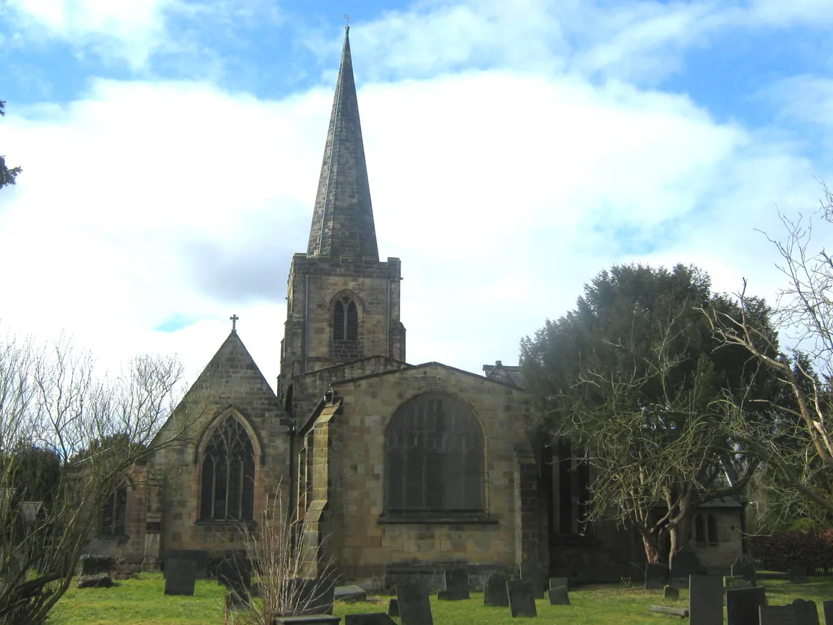
St Alkmund's Church, Duffield
Historic churches · 0.2 km

Duffield Millennium Meadow
Forests & woodlands · 0.3 km

The Bradshaw Stone
Memorials & monuments · 0.5 km

Duffield Hall
Historic houses · 0.5 km

Duffield
Villages · 0.7 km

The Ecclesbourne School
Natural landmarks · 0.9 km

Duffield Castle
Forests & woodlands · 1.3 km
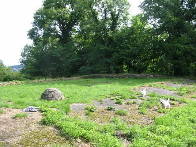
Duffield Castle
Castles · 1.3 km

Makeney Hall Hotel
Hotels · 1.6 km

Quarndon Topograph
Memorials & monuments · 1.8 km
Nearby
📷 3Historic bridges · East Midlands
Road Bridge Over Railway By Duffield Church
Road Bridge Over Railway By Duffield Church — Grade II listed building-listed bridge in england-east-midlands, United Kingdom.
📷 4Memorials & monuments · East Midlands
Duffield War Memorial
Duffield War Memorial — Grade II listed building-listed memorial in england-east-midlands, United Kingdom.
📷 5Historic churches · East Midlands
St Alkmund's Church, Duffield
St Alkmund's Church, Duffield — Grade I listed church in Duffield, Amber Valley, Derbyshire, England, UK.
📷 3Forests & woodlands · East Midlands
Duffield Millennium Meadow
Duffield Millennium Meadow is a forest or woodland in the United Kingdom.
📷 3Memorials & monuments · East Midlands
The Bradshaw Stone
The Bradshaw Stone — a memorial in england-east-midlands, United Kingdom.
📷 3Historic houses · East Midlands
Duffield Hall
Duffield Hall — country house in Derbyshire, England, UK.
Where to eat & stay near Duffield Bridge
Places to stay
📷 5Hotels · East Midlands
Makeney Hall Hotel
Makeney Hall Hotel — a hotel in england east midlands.
 📷 5📷 5
 📷 5📷 5📷 5
Places to eat & drink
 📷 7
📷 7Historic pubs · East Midlands
The William IV Public House
The William IV Public House in England East Midlands, United Kingdom.
 📷 7
📷 7Historic pubs · East Midlands
Puss In Boots Public House
Puss In Boots Public House in England East Midlands, United Kingdom.
 📷 5
📷 5Historic pubs · East Midlands
White Hart Public House
White Hart Public House in England East Midlands, United Kingdom.
 📷 5
📷 5Historic pubs · East Midlands
Ye Olde Dolphin Inne
Ye Olde Dolphin Inne in England East Midlands, United Kingdom.
 📷 3
📷 3Historic pubs · East Midlands
Jorrocks
Jorrocks — Historic pub — listed building or notable heritage status.
 📷 5
📷 5Historic pubs · East Midlands
Wardwick Tavern Public House
Wardwick Tavern Public House in England East Midlands, United Kingdom.
More bridges in this region
 📷 5
📷 5Historic bridges · East Midlands
Mill Race Bridge To Market Deeping Mill
Mill Race Bridge To Market Deeping Mill — Grade II listed building-listed bridge in england-london, United Kingdom.
 📷 5
📷 5Historic bridges · East Midlands
Bridge Over West Glen River
Bridge Over West Glen River — Grade II listed building-listed bridge in england-london, United Kingdom.
 📷 5
📷 5Historic bridges · East Midlands
Bridge And Sluices
Bridge And Sluices — Grade II listed building-listed bridge in england-london, United Kingdom.
 📷 5
📷 5Historic bridges · East Midlands
Bridge Over River Gwash
Bridge Over River Gwash — Grade II listed building-listed bridge in england-london, United Kingdom.
Frequently asked questions
- Where is Duffield Bridge?
- Duffield Bridge is in Derbyshire, the East Midlands, United Kingdom (postcode DE56 4BA), in the parish of Duffield.
- What is Duffield Bridge?
- Duffield Bridge — a Grade II-listed bridge in england-east-midlands, United Kingdom.
- How do I get to Duffield Bridge?
- The nearest railway station is Duffield, about 0.7 km away. The nearest town is Horsley. Drivers can use postcode DE56 4BA.
- Is Duffield Bridge a listed building?
- Duffield Bridge is officially recognised as Grade II listed.
- Is Duffield Bridge free to visit?
- Yes, Duffield Bridge is free to enter.
- How do I get to Duffield Bridge?
- The nearest railway station is Duffield, about 0.7 km away. Drivers can navigate to postcode DE56 4BA.