
Lighthouses · South East England
Dubris Pharos
In or near Martin Mill.
Dubris Pharos — Roman lighthouse in Dover, England.

Wikimedia Commons contributors — see linked file page for photographer and licence licence

Plan your visit
- Typical visit
- 30 min–1 h
- Nearest railway station
- Dover Priory · 1.3 km
- Free entry
- Family-friendly
- Dog-friendly
Getting there & planning your visit
To visit Dubris Pharos, the nearest railway station is Dover Priory, located 1.3 km away. Entry to the lighthouse is free, and the postcode for sat-nav is CT16 1HU.
About
Dubris Pharos is a lighthouse on the coast of Kent, South-East England. It dates from the Roman period of British history. Officially recognised as Grade I listed building. The site is within the Kent Downs National Landscape (AONB). It sits within the Dover and Deal parliamentary constituency. The nearest railway station is Dover Priory, about 1.3 km away. Postcode area CT16.
Photo gallery
Heritage listing
Details 1. 1050 DOVER CASTLE The Roman Pharos TR 3241 1/48 I 2. AD 46. Built under the Emperor Claudius. This guided the Roman fleet round to the port of Richborough. In mediaeval times it was used as a belfry to the Church of St Mary Sub-Castro. 4 storeys, 3 being Roman and the top storey and remains of battlements mediaeval. An octagonal tower with originally vertical stepped walls rising in tiers set back each within the last, now almost smoothed. Rubble with a facing of green sandstone and tufa and levelled at an interval of 7 courses with a double course of brick set in hard pink mortar. Round-headed windows with a small recessed spy-hole inside them. Listing NGR: TR3260541815 Legacy The contents of this record have been generated from a legacy data system. Legacy System number: 177825 Legacy System: LBS
From the Historic England List Entry under OGL v3.
Official information
Dover Castle is a historic fortress that showcases England's rich history, featuring the Great Tower, Secret Wartime Tunnels, and interactive exhibitions. Visitors can explore medieval life, engage in play areas, and learn about significant events like Operation Dynamo. The site offers stunning views and various activities for families and history enthusiasts alike.
Protected designations
- Area of Outstanding Natural Beauty: Kent Downs
Designations sourced from Natural England open data under OGL v3.
Place summary
Dubris Pharos is a Roman lighthouse located in Dover, Kent, South-East England. It is a Grade I listed building and part of the Kent Downs Area of Outstanding Natural Beauty (AONB).
AI-generated from the structured facts on this page (operator, designation, listing, era). Not a substitute for visiting.
- Coordinates
- 51.1284, 1.3230
- County
- Kent
- District
- Dover
- Parish
- Dover
- Postcode
- CT16 1HU
- Parliamentary constituency
- Dover and Deal
- Established
- 200
- Nearest railway station
- Dover Priory — 1.3 km
- Opening
- Daily 10am–5pm; last entry at 4pm
- Official site
- www.english-heritage.org.uk
Sources
- wikidata: Q3715786 (CC0)
- wikipedia: Dubris Pharos (CC BY-SA 4.0)
- commons: DoverCastle-lighthouse-2004-10-03.jpg (CC BY-SA 4.0)
Other places nearby

Dubris
Hill forts · 0.0 km
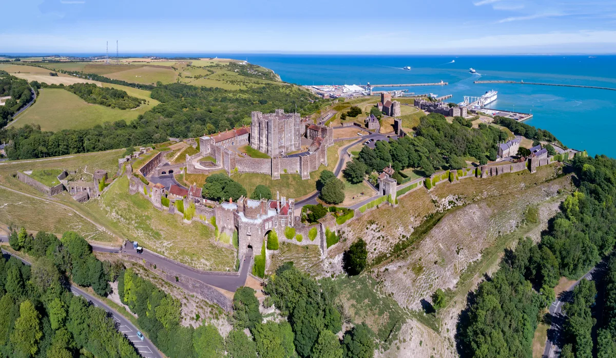
Dover Castle
Castles · 0.0 km
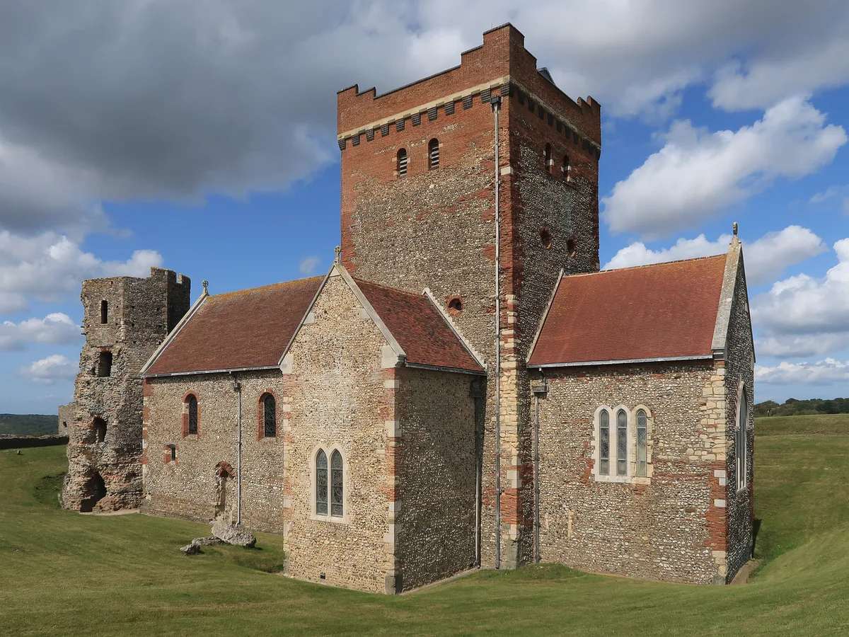
St Mary sub Castro, Dover
Historic churches · 0.1 km

Queen Elizabeth's Pocket Pistol
Historic houses · 0.1 km

Arthur's Hall
Museums · 0.2 km

The Underground Hopital
Museums · 0.2 km

PWRR & Queens Regiment Museum
Museums · 0.2 km

Admiral Ramsay
Memorials & monuments · 0.2 km
Secret Wartime Tunnels
Museums · 0.2 km
Canon's Gate House
Castles · 0.2 km

Constables Gate, Dover Castle
Castles · 0.3 km

Dover Castle Spur Tunnels
Castles · 0.3 km
Nearby
📷 5Hill forts · South East England
Dubris
Dubris — ancient port in Roman Britain, in Dover, Kent.
📷 5Castles · South East England
Dover Castle
Dover Castle — medieval castle in Dover, Kent, England, UK.
📷 5Historic churches · South East England
St Mary sub Castro, Dover
St Mary sub Castro, Dover is a historic church in the United Kingdom.
📷 5Historic houses · South East England
Queen Elizabeth's Pocket Pistol
Queen Elizabeth's Pocket Pistol — a Grade II*-listed historic house in england-south-east, United Kingdom.
📷 5Museums · South East England
Arthur's Hall
Arthur's Hall — a museum in england-south-east, United Kingdom.
📷 5Museums · South East England
The Underground Hopital
The Underground Hopital — a museum in england-south-east, United Kingdom.
Where to eat & stay near Dubris Pharos
Places to stay
 📷 5
📷 5B&Bs · South East England
Churchill
Churchill — a bed-and-breakfast in england south east.
 📷 5
📷 5 📷 5
📷 5Caravan parks · South East England
St Margarets Bay Holiday Park
St Margarets Bay Holiday Park — a caravan park in england south east. Brand: Parkdean Resorts.
 📷 5
📷 5Campsites · South East England
Hawthorn Farm (Keat farm)
Hawthorn Farm (Keat farm) — a campsite in england south east.
 📷 5
📷 5 📷 5
📷 5Places to eat & drink
 📷 7
📷 7Restaurants · South East England
The Swingate Inn, Namaste Curry House
The Swingate Inn, Namaste Curry House — a restaurant in england south east. Cuisine: indian.
 📷 7
📷 7 📷 5
📷 5Historic pubs · South East England
The Martello Public House
The Martello Public House in England South East, United Kingdom.
 📷 5
📷 5Historic pubs · South East England
The Samuel Peto
The Samuel Peto in England South East, United Kingdom.
 📷 7
📷 7Restaurants · South East England
81 Beach Street
81 Beach Street — a restaurant in england south east.
 📷 5
📷 5Historic pubs · South East England
The Black Pig Inn
The Black Pig Inn in England South East, United Kingdom.
More lighthouses in this region
 📷 5
📷 5Lighthouses · South East England
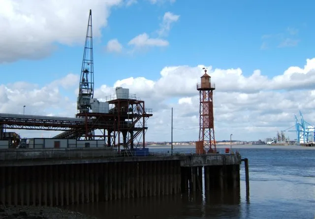
Northfleet Lower Lighthouse
Northfleet Lower Lighthouse — lighthouse in Gravesham, Kent, England, UK.
 📷 5
📷 5Lighthouses · South East England
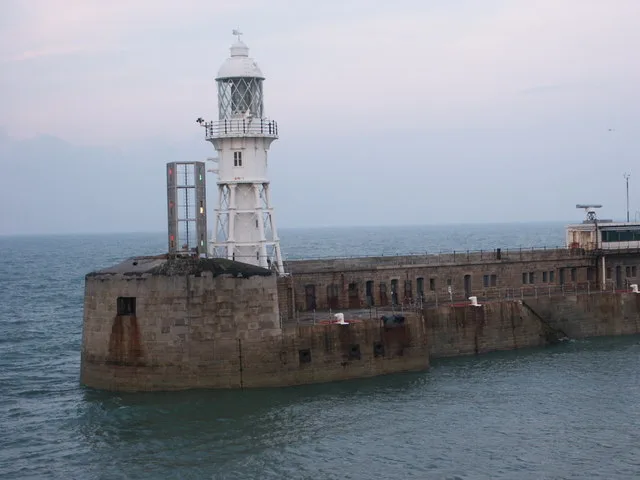
Admiralty Pier light
Admiralty Pier light — lighthouse in Dover, Kent, England.
 📷 5
📷 5Lighthouses · South East England
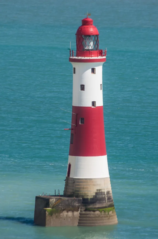
Beachy Head Lighthouse
Beachy Head Lighthouse — lighthouse at Eastbourne, East Sussex, England, UK.
 📷 5
📷 5Lighthouses · South East England
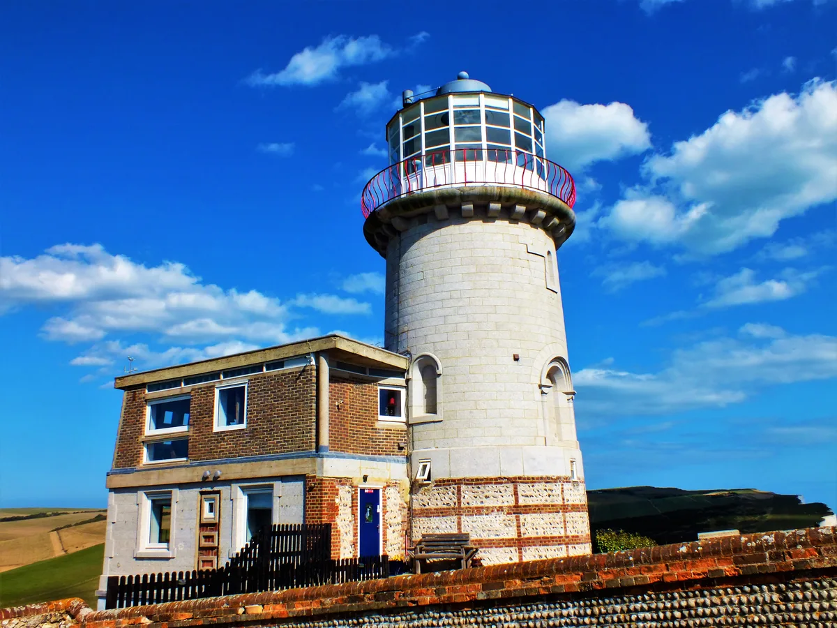
Belle Tout lighthouse
Belle Tout lighthouse — decommissioned lighthouse at Beachy Head, East Sussex, England, UK.
Frequently asked questions
- Where is Dubris Pharos?
- Dubris Pharos is in Kent, South-East England, United Kingdom (postcode CT16 1HU), in the parish of Dover.
- What is Dubris Pharos?
- Dubris Pharos — Roman lighthouse in Dover, England.
- How do I get to Dubris Pharos?
- The nearest railway station is Dover Priory, about 1.3 km away. Drivers can use postcode CT16 1HU.
- When was Dubris Pharos built?
- Built or established in 200.
- Is Dubris Pharos a listed building?
- Dubris Pharos is officially recognised as Grade I listed building listed.
- Is Dubris Pharos a protected site?
- Yes — Dubris Pharos is part of the Kent Downs National Landscape (AONB).
- Is Dubris Pharos free to visit?
- Yes, Dubris Pharos is free to enter.
- How do I get to Dubris Pharos?
- The nearest railway station is Dover Priory, about 1.3 km away. Drivers can navigate to postcode CT16 1HU.