Mountains & hills · Scottish Highlands
Druim na Leitire
Druim na Leitire — a hill or mountain in scotland highlands.

Peter Wood — CC BY-SA 2.0 via Wikimedia Commons licence
Plan your visit
- Typical visit
- 3 h–8 h
- Best time of year
- Late spring – early autumn (May–Oct)
About
A British hill or mountain, named on Ordnance Survey maps and walked by hill-baggers. Druim na Leitire is a named hill or mountain in scotland highlands, recorded in the GeoNames UK gazetteer. British landmarks of this type are typically marked on Ordnance Survey maps and recorded in the national gazetteer for cartographic and navigational reference. Coordinates and feature classification are sourced from the GeoNames open dataset.
Photo gallery
Place summary
Druim na Leitire is a mountain located in the Scottish Highlands. It is characterised by its rugged terrain and scenic views typical of the region. Visitors can expect a range of walking trails that cater to various skill levels, offering opportunities for hiking and enjoying the natural landscape. The mountain's elevation and remote setting contribute to its appeal for outdoor enthusiasts.
AI-generated from the structured facts on this page (operator, designation, listing, era). Not a substitute for visiting.
- Coordinates
- 57.2341, -5.6445
Sources
- manual: geonames-12614236 (CC BY 4.0)
Other places nearby
Loading nearby places…
Nearby
 📷 3
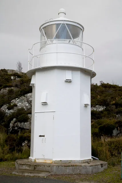
📷 3Lighthouses · Scottish Highlands
Glenelg Light
Glenelg Light — lighthouse in Highland, Scotland, UK.
 📷 4
📷 4Reservoirs & lochs · Scottish Islands
Kyle Rhea
Kyle Rhea in Scotland Islands, United Kingdom.
 📷 5
📷 5Gorges · Scottish Highlands
Glen Bernera
Glen Bernera — a gorge in scotland highlands.
 📷 5
📷 5Natural landmarks · Scottish Highlands
Bernera School
Bernera School — a school heritage in scotland-highlands, United Kingdom.
 📷 3
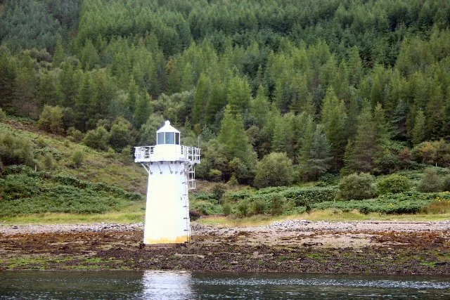
📷 3Lighthouses · Scottish Highlands
Kylerhea Minor Light
Kylerhea Minor Light — lighthouse in Highland, Scotland, UK.
 📷 5
📷 5Villages · Scottish Highlands
Kylerhea
Kylerhea — a village in scotland highlands.
More mountains in this region
 📷 3
📷 3Mountains & hills · Scottish Highlands
A' Bhuidheanach Bheag
A' Bhuidheanach Bheag — Named summit at 936 m.
 📷 3
📷 3Mountains & hills · Scottish Highlands
A' Chailleach
A' Chailleach — Named summit at 997 m.
 📷 3
📷 3Mountains & hills · Scottish Highlands
A' Chailleach
A' Chailleach — Named summit at 930 m.
 📷 3
📷 3Mountains & hills · Scottish Highlands
A' Chaoirnich
A' Chaoirnich — Named summit at 875 m.
Frequently asked questions
- Where is Druim na Leitire?
- Druim na Leitire is in the Scottish Highlands, United Kingdom.
- What is Druim na Leitire?
- Druim na Leitire — a hill or mountain in scotland highlands.
- How do I get to Druim na Leitire?
- Its coordinates are 57.2341°, -5.6445°.