
Memorials & monuments · South West England
Drew And Two Unidentified Monuments, About 6-12 Metres South Of South East End Of Aisle In Churchyard Of Church Of St Mary
In or near Owlpen.
Drew And Two Unidentified Monuments, About 6-12 Metres South Of South East End Of Aisle In Churchyard Of Church Of St Mary — Grade II listed building-listed memorial in england-west-midlands, United K

Jonathan Thacker — CC BY-SA 2.0 via Wikimedia Commons licence

Plan your visit
- Typical visit
- 15 min–45 min
- Free entry
- Dog-friendly
About
Drew And Two Unidentified Monuments, About 6-12 Metres South Of South East End Of Aisle In Churchyard Of Church Of St Mary is a Grade II listed building-listed memorial in england-west-midlands, United Kingdom, registered on the National Heritage List for England (NHLE entry 1089722). Listed status protects buildings and structures of special architectural or historic interest. See the linked Wikipedia article for further details.
Photo gallery
See it from the streetimagery from 2019
Imagery © Mapillary contributors, CC BY-SA 4.0
Heritage listing
Details BEVERSTON BEVERSTON VILLAGE ST 8693 Drew and two Unidentified 13/35 Monuments, about 6-12m south of south-east end of aisle in church- yard of Church of St. Mary II GV Three chest tombs. From north to south: 1) Unidentified, probably late C17. Limestone. Flat top, moulded plinth and capping, plain slab ends and sides with incised inscription on south side. Large piece missing from top on north side. 2) Unidentified, mid C18. Limestone. Flat top, moulded plinth and capping, slightly indented ends with carved returns, plain fielded rectangular side and end panels. 3) William Drew 1791. Sandstone. Flat top, moulded plinth and capping. Quarter baluster corners, fielded end panels with arched tops, recessed rectangular side panels. Listing NGR: ST8617294003 Legacy The contents of this record have been generated from a legacy data system. Legacy System number: 130350 Legacy System: LBS
From the Historic England List Entry under OGL v3.
Protected designations
- Area of Outstanding Natural Beauty: Cotswolds
Designations sourced from Natural England open data under OGL v3.
Place summary
Drew and Two Unidentified Monuments are memorials located about 6-12 metres south of the southeast end of the aisle in the churchyard of St Mary in Beverston, Gloucestershire. These monuments are designated as a Grade II listed building, reflecting their historical significance.
AI-generated from the structured facts on this page (operator, designation, listing, era). Not a substitute for visiting.
- Coordinates
- 51.6447, -2.2012
- County
- Gloucestershire
- District
- Cotswold
- Parish
- Beverston
- Postcode
- GL8 8TU
- Parliamentary constituency
- South Cotswolds
Sources
- wikidata: Q26382134 (CC0)
Other places nearby
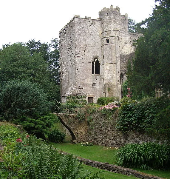
Beverston Castle
Castles · 0.1 km

Beverston
Castles · 0.2 km

Beverstone Castle
Castles · 0.3 km

Chavenage House
Historic houses · 1.6 km

Hermit's Cave
Caves · 1.8 km
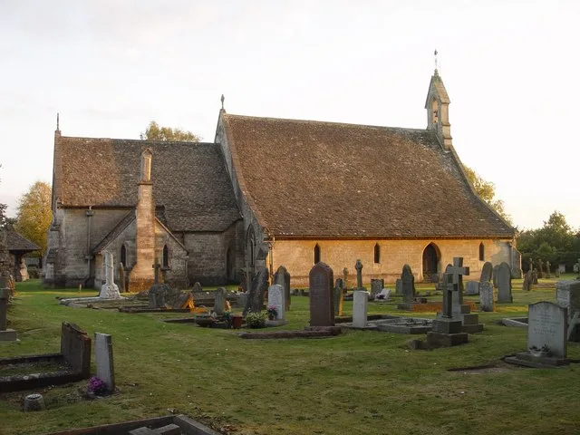
St Saviour's Church, Tetbury
Historic churches · 2.7 km

Tetbury War Memorial in the Churchyard of the Church of St Saviour
Memorials & monuments · 2.7 km

Cutwell Bridge
Historic bridges · 2.7 km

Tetbury Police Museum & Courtroom
Museums · 2.8 km

Porch House
Historic houses · 2.8 km

Highgrove House
Historic houses · 2.9 km

The Close Hotel
Hotels · 3.0 km
Nearby
📷 5Castles · South West England
Beverston Castle
Beverston Castle — Grade I listed quadrangular castle in Gloucestershire, England, UK.
📷 5Castles · South West England
Beverston
Beverston is a village and civil parish in the Cotswold district of Gloucestershire, England. According to the 2001 census it had a population of 132, decreasing to 129 at the 2011 census. The village
📷 5📷 5Historic houses · South West England
Chavenage House
Chavenage House — a Grade I-listed historic house in england-west-midlands, United Kingdom.
📷 3📷 3Historic churches · South West England
St Saviour's Church, Tetbury
St Saviour's Church, Tetbury — church in Cotswold, UK.
Where to eat & stay near Drew And Two Unidentified Monuments, About 6-12 Metres South Of South East End Of Aisle In Churchyard Of Church Of St Mary
Places to stay
📷 6Hotels · South West England
The Close Hotel
The Close Hotel — a hotel in england west midlands.
 📷 5
📷 5 📷 7
📷 7Hotels · South West England
The Hare & Hounds Hotel
The Hare & Hounds Hotel — a hotel in england west midlands.
 📷 5
📷 5Hotels · South West England
Wild Garlic Rooms
Wild Garlic Rooms — a hotel in england west midlands.
 📷 5
📷 5Campsites · South West England
Tobacconist Farm Campsite
Tobacconist Farm Campsite — a campsite in england west midlands.

Hotels · South West England
Whatley Manor
Whatley Manor — a hotel in england south east.
Places to eat & drink
 📷 7
📷 7Cafés · South West England
Lyndseys
Lyndseys — a café in england west midlands.
 📷 5
📷 5Restaurants · South West England
The Olive Tree
The Olive Tree — a restaurant in england west midlands.
 📷 6
📷 6 📷 5
📷 5 📷 5
📷 5Historic pubs · South West England
The Ragged Cot Inn
The Ragged Cot Inn in England South East, United Kingdom.
 📷 5
📷 5More memorials in this region
 📷 5
📷 5Memorials & monuments · South West England
Bath Cenotaph
Bath Cenotaph is a memorial in the United Kingdom.
 📷 5
📷 5Memorials & monuments · South West England
Cross of Sacrifice
Cross of Sacrifice is a memorial in the United Kingdom.
 📷 5
📷 5Memorials & monuments · South West England
Grange Arch
Grange Arch is a memorial in the United Kingdom.
.jpg?width=1200) 📷 5
📷 5Memorials & monuments · South West England
King Alfred Memorial
King Alfred Memorial is a memorial in the United Kingdom.
Frequently asked questions
- Where is Drew And Two Unidentified Monuments, About 6-12 Metres South Of South East End Of Aisle In Churchyard Of Church Of St Mary?
- Drew And Two Unidentified Monuments, About 6-12 Metres South Of South East End Of Aisle In Churchyard Of Church Of St Mary is in Gloucestershire, the West Midlands, United Kingdom (postcode GL8 8TU), in the parish of Beverston.
- What is Drew And Two Unidentified Monuments, About 6-12 Metres South Of South East End Of Aisle In Churchyard Of Church Of St Mary?
- Drew And Two Unidentified Monuments, About 6-12 Metres South Of South East End Of Aisle In Churchyard Of Church Of St Mary — Grade II listed building-listed memorial in england-west-midlands, United K
- How do I get to Drew And Two Unidentified Monuments, About 6-12 Metres South Of South East End Of Aisle In Churchyard Of Church Of St Mary?
- Drivers can use postcode GL8 8TU.
- Is Drew And Two Unidentified Monuments, About 6-12 Metres South Of South East End Of Aisle In Churchyard Of Church Of St Mary a listed building?
- Drew And Two Unidentified Monuments, About 6-12 Metres South Of South East End Of Aisle In Churchyard Of Church Of St Mary is officially recognised as Grade II listed building listed.
- Is Drew And Two Unidentified Monuments, About 6-12 Metres South Of South East End Of Aisle In Churchyard Of Church Of St Mary a protected site?
- Yes — Drew And Two Unidentified Monuments, About 6-12 Metres South Of South East End Of Aisle In Churchyard Of Church Of St Mary is part of the Cotswolds National Landscape (AONB).
- Is Drew And Two Unidentified Monuments, About 6-12 Metres South Of South East End Of Aisle In Churchyard Of Church Of St Mary free to visit?
- Yes, Drew And Two Unidentified Monuments, About 6-12 Metres South Of South East End Of Aisle In Churchyard Of Church Of St Mary is free to enter.
- How do I get to Drew And Two Unidentified Monuments, About 6-12 Metres South Of South East End Of Aisle In Churchyard Of Church Of St Mary?
- Drivers can navigate to postcode GL8 8TU. It sits within the South Cotswolds parliamentary constituency.