
Historic churches · South West England
Downderry
In or near St Germans.
Downderry (Cornish: Downderri) is a coastal village in south-east Cornwall, England, United Kingdom. It is 12 miles (19 km) west of Plymouth and one mile east of Seaton. Downderry has a long beach of

Rob Farrow — CC BY-SA 2.0 via Wikimedia Commons licence

Plan your visit
- Typical visit
- 30 min–1 h
- Nearest railway station
- St Germans · 5.7 km
- Free entry
About
Downderry (Cornish: Downderri) is a coastal village in south-east Cornwall, England, United Kingdom. It is 12 miles (19 km) west of Plymouth and one mile east of Seaton. Downderry has a long beach of light shingle with road access to the beach via a slipway, although this is blocked by a locked gate, pedestrian access is still possible. Dogs are allowed on the beach. The beach further east is a nudist beach. The village has a Village Hall which opened in 1891 and hosts a variety of events and activities, a Church of England church, a Methodist chapel, a pub, a Tapas Bar, a coffee shop and a primary school. The Church of St Nicolas Downderry began as a mission church to service the growing population of the village. The building dates from the late 19th-century. The village and beach offer views of Looe Island to the west and Rame Head to the east and on clear days the Eddystone Lighthouse 8 miles (13 km) offshore.
Photo gallery
360° viewimagery from 2024
Imagery © Mapillary contributors, CC BY-SA 4.0
Protected designations
- Area of Outstanding Natural Beauty: Cornwall
Designations sourced from Natural England open data under OGL v3.
From the Wikipedia article
Downderry (Cornish: Downderri) is a coastal village in south-east Cornwall, England, United Kingdom. It is 12 miles (19 km) west of Plymouth and one mile east of Seaton. Downderry has a long beach of light shingle with road access to the beach via a slipway, although this is blocked by a locked gate, pedestrian access is still possible. Dogs are allowed on the beach. The beach further east is a nudist beach. The village has a Village Hall which opened in 1891 and hosts a variety of events and activities, a Church of England church, a Methodist chapel, a pub, a Tapas Bar, a coffee shop and a primary school. The Church of St Nicolas Downderry began as a mission church to service the growing population of the village. The building dates from the late 19th-century. The village and beach offer views of Looe Island to the west and Rame Head to the east and on clear days the Eddystone Lighthouse 8 miles (13 km) offshore.
Excerpt from Wikipedia under CC BY-SA 4.0. See the source article linked in Sources below.
Background
Description
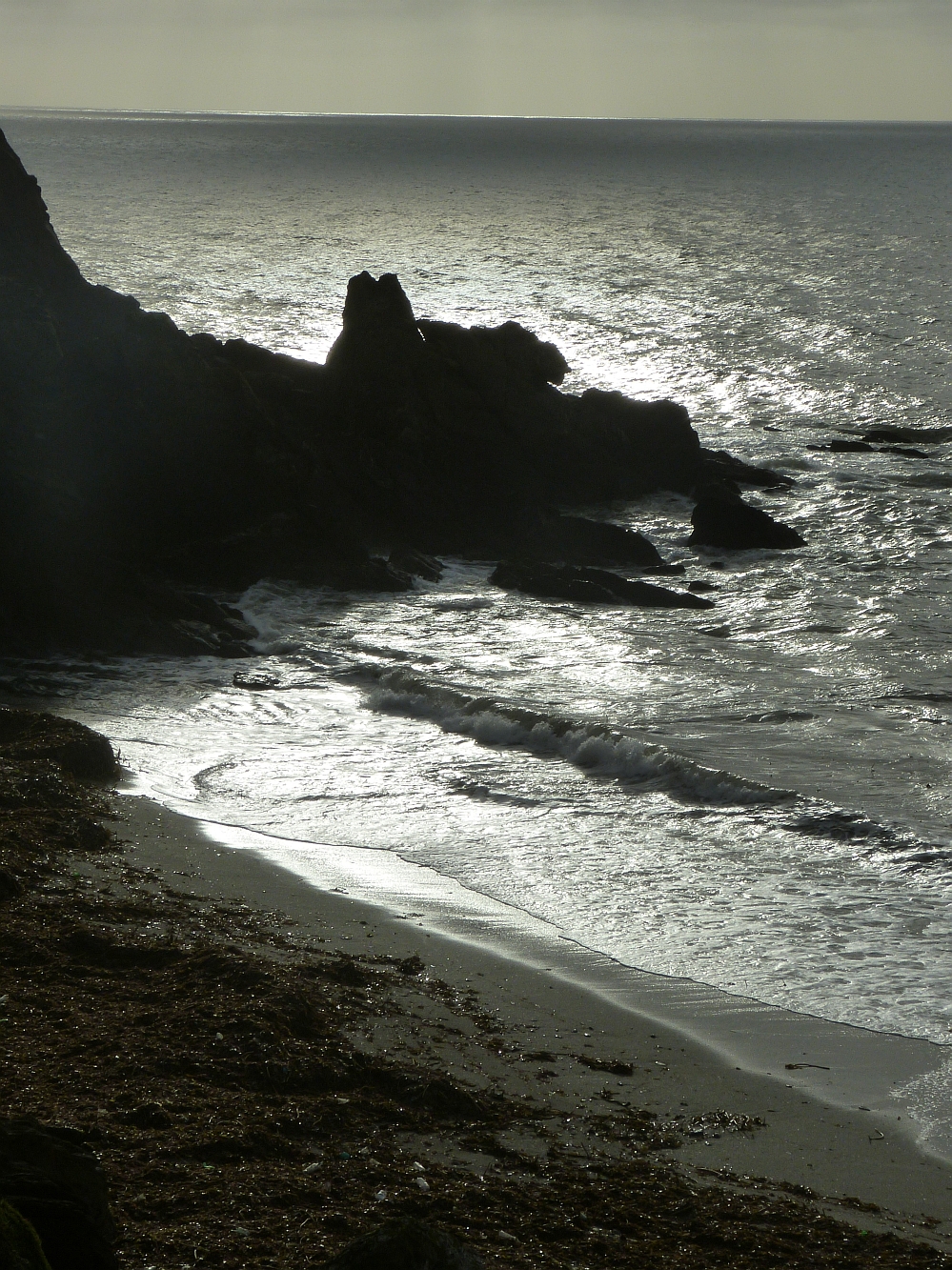
Beyond Coldeadon is a 600 m stretch of beach which ends at a rocky outcrop known locally as "Shag Rock", named for the seabirds that gather there to dry their wings after diving for fish. This marks the end of easy foot access along the coastline. A path up the cliff leads to the road above the beach; the ascent is pleasant but reasonably strenuous. The ruins of a Victorian lodge, known as "St Germans Hut" are located about halfway up the path.
Sourced from Wikipedia under CC BY-SA 4.0.
- Coordinates
- 50.3618, -4.3701
- District
- Cornwall
- Parish
- Deviock
- Postcode
- PL11 3LJ
- Parliamentary constituency
- South East Cornwall
- Nearest railway station
- St Germans — 5.7 km
Sources
- wikipedia: Downderry (CC BY-SA 4.0)
Other places nearby

Downderry Beach
Beaches · 0.4 km

Trerieve Farm
Campsites · 1.0 km

Seaton Beach
Beaches · 1.1 km

River Seaton
Museums · 1.3 km

Narkurs Hill
Mountains & hills · 2.0 km

Keveral Farm
Campsites · 2.1 km

Monkey Sanctuary
Zoos & aquariums · 3.1 km

The Monkey Sanctuary
Zoos & aquariums · 3.1 km

Hessenford
Historic churches · 3.4 km
Deviock
Historic churches · 3.4 km

Hessenford Bridge
Historic bridges · 3.5 km
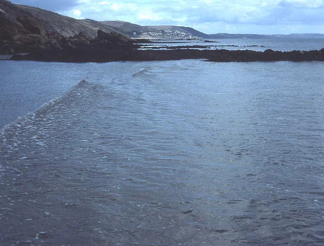
Looe Bay
Mountains & hills · 3.7 km
Nearby
📷 5📷 4Campsites · South West England
Trerieve Farm
Trerieve Farm — a campsite in england south west.
📷 4📷 5Museums · South West England
River Seaton
River Seaton — a museum in england-south-west, United Kingdom.
📷 5Mountains & hills · South West England
Narkurs Hill
Narkurs Hill — a hill or mountain in england south west.
📷 5Campsites · South West England
Keveral Farm
Keveral Farm — a campsite in england south west.
Where to eat & stay near Downderry
Places to stay
📷 4Campsites · South West England
Trerieve Farm
Trerieve Farm — a campsite in england south west.
📷 5Campsites · South West England
Keveral Farm
Keveral Farm — a campsite in england south west.
 📷 5
📷 5Campsites · South West England
Polborder House Car. & Cp. Park
Polborder House Car. & Cp. Park — a campsite in england south west.
 📷 5
📷 5Campsites · South West England
Bay View Campsite
Bay View Campsite — a campsite in england south west.
 📷 7
📷 7Hotels · South West England
Whitsand Bay Hotel
Whitsand Bay Hotel — a hotel in england south west.
 📷 5
📷 5Caravan parks · South West England
Tregoad
Tregoad — a caravan park in england south west.
Places to eat & drink
 📷 5
📷 5Historic pubs · South West England
The Fisherman's Arms
The Fisherman's Arms in England South West, United Kingdom.
 📷 7
📷 7 📷 7
📷 7Restaurants · South West England
The House on the Props
The House on the Props — a restaurant in england south west.
 📷 7
📷 7Historic pubs · South West England
Tavernan Carow Public House
Tavernan Carow Public House in England South West, United Kingdom.
 📷 7
📷 7Historic pubs · South West England
The Barley Sheaf Public House
The Barley Sheaf Public House in England South West, United Kingdom.
 📷 7
📷 7Restaurants · South West England
Himalayan Spice
Himalayan Spice — a restaurant in england south west.
More places in this region
 📷 5
📷 5Historic churches · South West England
Abbey Church of St Gregory the Great, Downside Abbey
Abbey Church of St Gregory the Great, Downside Abbey — church in Stratton-on-the-Fosse, Somerset, England, UK.
 📷 5
📷 5Historic churches · South West England
All Saints Church
All Saints Church — Grade I listed church in Woolley, Somerset, England, UK.
 📷 5
📷 5Historic churches · South West England
All Saints Church, Hampreston
All Saints Church, Hampreston — church in Hampreston, Dorset, England, UK.
 📷 5
📷 5Historic churches · South West England
All Saints Church, Nether Cerne
All Saints Church, Nether Cerne — church in Nether Cerne, Dorset, England, UK.
Frequently asked questions
- Where is Downderry?
- Downderry is in South-West England, United Kingdom (postcode PL11 3LJ), in the parish of Deviock.
- What is Downderry?
- Downderry (Cornish: Downderri) is a coastal village in south-east Cornwall, England, United Kingdom. It is 12 miles (19 km) west of Plymouth and one mile east of Seaton. Downderry has a long beach of
- How do I get to Downderry?
- The nearest railway station is St Germans, about 5.7 km away. Drivers can use postcode PL11 3LJ.
- Is Downderry a protected site?
- Yes — Downderry is part of the Cornwall National Landscape (AONB).
- Is Downderry free to visit?
- Yes, Downderry is free to enter.
- How do I get to Downderry?
- The nearest railway station is St Germans, about 5.7 km away. Drivers can navigate to postcode PL11 3LJ.