Lighthouses · South East England
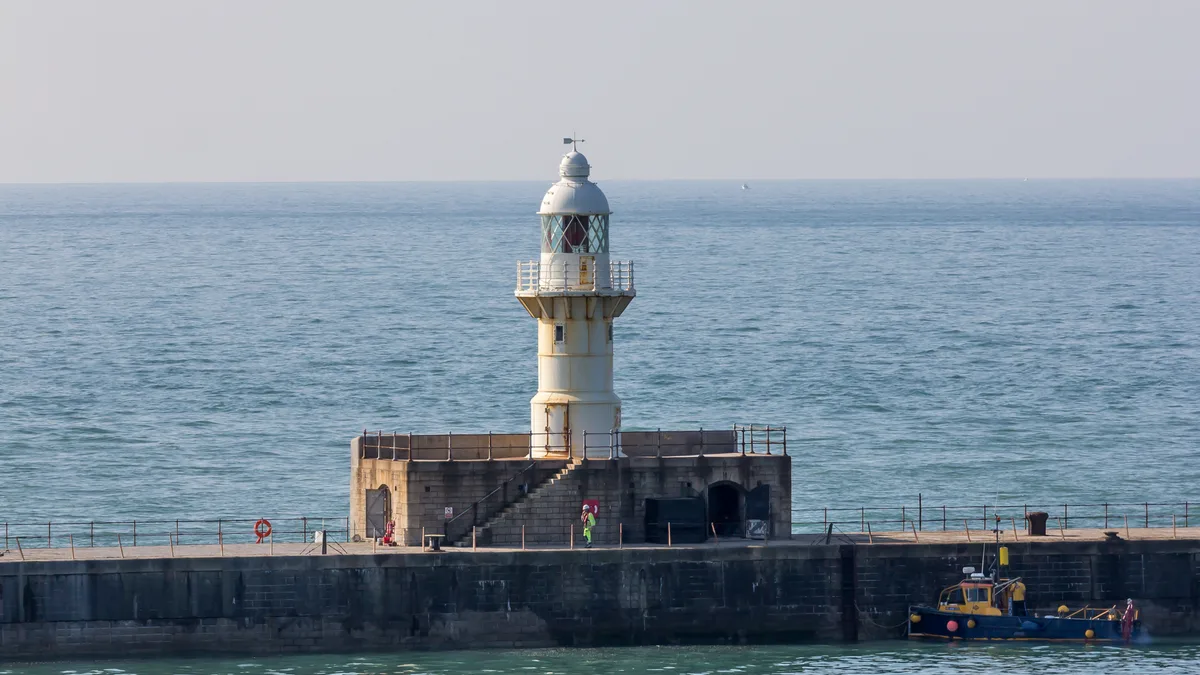
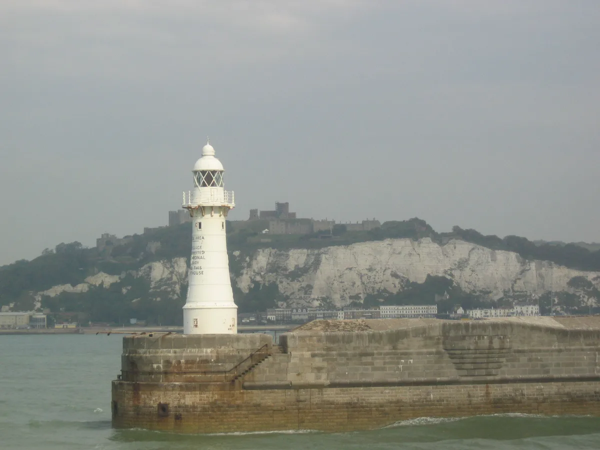
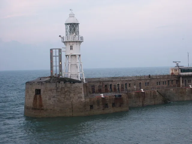
Dover Breakwater Knuckle Lighthouse
Dover Breakwater Knuckle Lighthouse — a lighthouse in england south east.

Ian S — CC BY-SA 2.0 via Wikimedia Commons licence
Plan your visit
- Typical visit
- 30 min–1 h
About
Dover Breakwater Knuckle Lighthouse is a named lighthouse in england south east, recorded in the GeoNames UK gazetteer. British landmarks of this type are typically marked on Ordnance Survey maps and recorded in the national gazetteer for cartographic and navigational reference. Coordinates and feature classification are sourced from the GeoNames open dataset.
Photo gallery
Place summary
Dover Breakwater Knuckle Lighthouse is located in South-East England. This lighthouse serves as a navigational aid for vessels entering the busy Port of Dover. Its distinctive structure is essential for maritime safety in the area.
AI-generated from the structured facts on this page (operator, designation, listing, era). Not a substitute for visiting.
- Coordinates
- 51.1174, 1.3415
Sources
- manual: geonames-11810599 (CC BY 4.0)
Other places nearby
Loading nearby places…
Nearby
 📷 5
📷 5Lighthouses · South East England
Dover Breakwater Knuckle light
Dover Breakwater Knuckle light — lighthouse in Kent, England.
 📷 5
📷 5Marinas · South East England
Port of Dover
Port of Dover — a marina in england south east.
 📷 5
📷 5Lighthouses · South East England
Dover Breakwater West End light
Dover Breakwater West End light — lighthouse in Kent, England.
 📷 5
📷 5Lighthouses · South East England
Dover Breakwater West End Lighthouse
Dover Breakwater West End Lighthouse — a lighthouse in england south east.
 📷 5
📷 5Lighthouses · South East England
Dover Admiralty Pier Lighthouse
Dover Admiralty Pier Lighthouse — a lighthouse in england south east.
 📷 5
📷 5Lighthouses · South East England
Admiralty Pier light
Admiralty Pier light — lighthouse in Dover, Kent, England.
Where to eat & stay near Dover Breakwater Knuckle Lighthouse
Places to stay
 📷 5
📷 5B&Bs · South East England
Churchill
Churchill — a bed-and-breakfast in england south east.
 📷 5
📷 5Hostels · South East England
The Castle Inn
The Castle Inn — a hostel in england south east.
 📷 5
📷 5Caravan parks · South East England
St Margarets Bay Holiday Park
St Margarets Bay Holiday Park — a caravan park in england south east. Brand: Parkdean Resorts.
 📷 5
📷 5Campsites · South East England
Hawthorn Farm (Keat farm)
Hawthorn Farm (Keat farm) — a campsite in england south east.
 📷 5
📷 5Campsites · South East England
Newsole Cottage
Newsole Cottage — a campsite in england south east.
 📷 5
📷 5Campsites · South East England
Kingsdown International Camping Centre
Kingsdown International Camping Centre — a campsite in england south east.
Places to eat & drink
 📷 5
📷 5Restaurants · South East England
The Swingate Inn, Namaste Curry House
The Swingate Inn, Namaste Curry House — a restaurant in england south east. Cuisine: indian.
 📷 5
📷 5Historic pubs · South East England
Hope Inn
Hope Inn in England South East, United Kingdom.
 📷 5
📷 5Historic pubs · South East England
The Martello Public House
The Martello Public House in England South East, United Kingdom.
 📷 5
📷 5Historic pubs · South East England
The Samuel Peto
The Samuel Peto in England South East, United Kingdom.
 📷 5
📷 5Restaurants · South East England
81 Beach Street
81 Beach Street — a restaurant in england south east.
 📷 5
📷 5Historic pubs · South East England
The Black Pig Inn
The Black Pig Inn in England South East, United Kingdom.
More lighthouses in this region
📷 5Lighthouses · South East England
Admiralty Pier light
Admiralty Pier light — lighthouse in Dover, Kent, England.
 📷 5
📷 5Lighthouses · South East England
Anvil Point Lighthouse
Anvil Point Lighthouse — lighthouse in Swanage, Dorset, England, UK.
 📷 5
📷 5Lighthouses · South East England
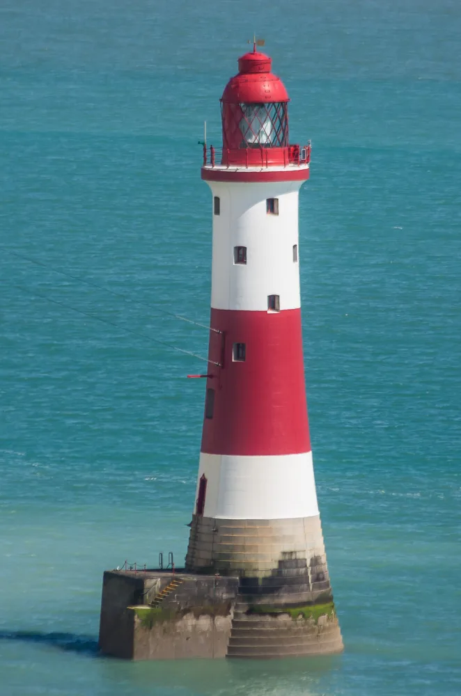
Beachy Head Lighthouse
Beachy Head Lighthouse — lighthouse at Eastbourne, East Sussex, England, UK.
 📷 5
📷 5Lighthouses · South East England
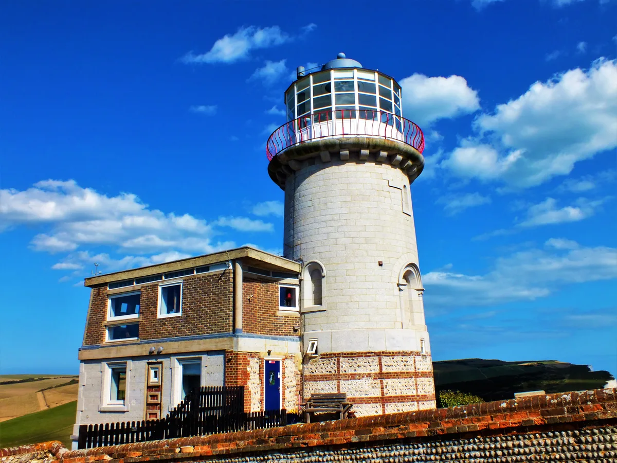
Belle Tout lighthouse
Belle Tout lighthouse — decommissioned lighthouse at Beachy Head, East Sussex, England, UK.
Frequently asked questions
- Where is Dover Breakwater Knuckle Lighthouse?
- Dover Breakwater Knuckle Lighthouse is in South-East England, United Kingdom.
- What is Dover Breakwater Knuckle Lighthouse?
- Dover Breakwater Knuckle Lighthouse — a lighthouse in england south east.
- How do I get to Dover Breakwater Knuckle Lighthouse?
- Its coordinates are 51.1174°, 1.3415°.