Farms (open to visitors) · West Midlands
Dovecote, 80m south-east of Pumphouse Farmhouse
In or near Upton Warren.
Dovecote, 80m south-east of Pumphouse Farmhouse — a Grade II*-listed farm in england-west-midlands, United Kingdom.

Jeff Gogarty — CC BY-SA 2.0 via Wikimedia Commons licence
Plan your visit
- Typical visit
- 2 h–4 h
- Nearest railway station
- Bromsgrove · 6.0 km
- Family-friendly
About
Dovecote, 80m south-east of Pumphouse Farmhouse is a Grade II*-listed building in england-west-midlands, United Kingdom. Grade II* status is conferred by Historic England (or Cadw, Historic Environment Scotland or NIEA equivalents) on buildings of exceptional national interest. See the linked Wikipedia article for full historical and architectural details.
Photo gallery
Place summary
The Dovecote, located 80 metres south-east of Pumphouse Farmhouse in Hanbury, Worcestershire, is a Grade II* listed structure. This historic farm building is situated in the West Midlands region and is notable for its architectural significance.
AI-generated from the structured facts on this page (operator, designation, listing, era). Not a substitute for visiting.
- Coordinates
- 52.2668, -2.0673
- County
- Worcestershire
- District
- Wychavon
- Parish
- Hanbury
- Postcode
- WR9 7EB
- Parliamentary constituency
- Redditch
- Nearest railway station
- Bromsgrove — 6 km
Sources
- wikidata: Q17676406 (CC0)
Other places nearby

Hanbury, Worcestershire
Museums · 0.9 km

Pilgrim Cross
Historic houses · 1.0 km

Hanbury War Memorial
Memorials & monuments · 1.1 km

Hanbury
Villages · 1.2 km
St Mary the Virgin, Hanbury
Historic churches · 1.2 km

Hanbury Hall
Historic houses · 1.2 km

Church Coppice, Hanbury
Vineyards · 1.2 km

Mere Hall
Historic houses · 1.4 km

Pulpit
Memorials & monuments · 1.6 km

Madam's Hill
Mountains & hills · 1.6 km

Summerhill Farm Bridge No 38
Historic bridges · 2.4 km

Westfield Farm Bridge No 36
Historic bridges · 2.7 km
Nearby
📷 5Museums · West Midlands
Hanbury, Worcestershire
Hanbury is a rural village in Worcestershire, England near Droitwich Spa and the M5 motorway. The population of Hanbury has remained around 1,000 since the early 19th century, and apart from farming a
📷 3Historic houses · West Midlands
Pilgrim Cross
Pilgrim Cross — a Grade II*-listed historic house in england-west-midlands, United Kingdom.
📷 3Memorials & monuments · West Midlands
Hanbury War Memorial
Hanbury War Memorial — Grade II listed building-listed memorial in england-west-midlands, United Kingdom.
📷 5📷 3Historic churches · West Midlands
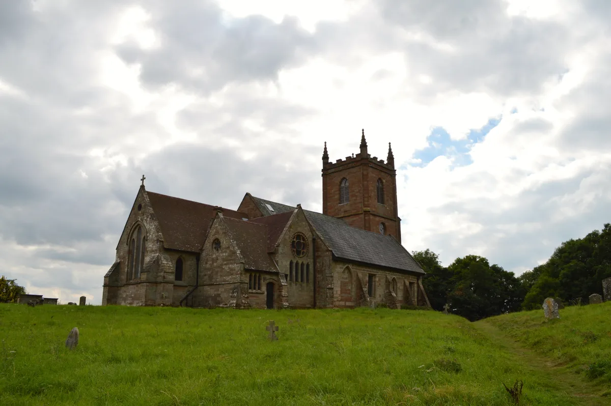
St Mary the Virgin, Hanbury
St Mary the Virgin, Hanbury — Grade I listed church in Hanbury, Worcestershire, England, UK.
📷 3Historic houses · West Midlands
Hanbury Hall
Hanbury Hall — a other in england-west-midlands, United Kingdom.
Where to eat & stay near Dovecote, 80m south-east of Pumphouse Farmhouse
Places to stay
 📷 5
📷 5Hotels · West Midlands
Chateau Impney Hotel
Chateau Impney Hotel — a hotel in england west midlands.
 📷 5
📷 5Hotels · West Midlands
ibis budget Bromsgrove 2 stars
ibis budget Bromsgrove 2 stars — a hotel in england west midlands. 2-star. Brand: Ibis Budget.
 📷 5
📷 5Caravan parks · West Midlands
White Hall Farm
White Hall Farm — a caravan park in england west midlands.
 📷 5
📷 5Hostels · West Midlands
Blackwell Court Manor House
Blackwell Court Manor House — a hostel in england west midlands.
📷 5Campsites · West Midlands
Blackwell Adventure Outdoor Activity Centre
Blackwell Adventure Outdoor Activity Centre — a campsite in england west midlands.
📷 5Campsites · West Midlands
Roberts Podded Village
Roberts Podded Village — a campsite in england west midlands.
Places to eat & drink
 📷 5
📷 5Historic pubs · West Midlands
Star And Garter Inn
Star And Garter Inn in England West Midlands, United Kingdom.
 📷 5
📷 5Historic pubs · West Midlands
The Rose And Crown Public House And Attached Outbuilding
The Rose And Crown Public House And Attached Outbuilding in England West Midlands, United Kingdom.
 📷 5
📷 5Historic pubs · West Midlands
Black Cross Public House
Black Cross Public House in England West Midlands, United Kingdom.
 📷 7
📷 7Historic pubs · West Midlands
Golden Lion Public House
Golden Lion Public House in England West Midlands, United Kingdom.
 📷 3
📷 3Historic pubs · West Midlands
The Crabmill
The Crabmill — Historic pub — listed building or notable heritage status.
 📷 5
📷 5More places in this region
 📷 5
📷 5Farms (open to visitors) · West Midlands
Dakota Bust (Sheldon Interchange)
Dakota Bust (Sheldon Interchange) — Public artwork (sculpture) by Peter Whitehouse.
📷 5Farms (open to visitors) · West Midlands
The Wheatsheaf (Sheldon Interchange)
The Wheatsheaf (Sheldon Interchange) — Public artwork (sculpture) by Claire Davies.
 📷 5
📷 5Farms (open to visitors) · West Midlands
Badger, Shropshire
Badger is a village and civil parish in Shropshire, England, about six miles north-east of Bridgnorth. The parish had a population of 134 according to the 2001 census, falling to 126 at the 2011 censu
 📷 5
📷 5Farms (open to visitors) · West Midlands
Stratford Butterfly Farm
Stratford Butterfly Farm is a visitor attraction in Stratford-upon-Avon, Warwickshire, England. A leafy tropical environment is simulated inside large greenhouses. There are numerous free flying butte
Frequently asked questions
- Where is Dovecote, 80m south-east of Pumphouse Farmhouse?
- Dovecote, 80m south-east of Pumphouse Farmhouse is in Worcestershire, the West Midlands, United Kingdom (postcode WR9 7EB), in the parish of Hanbury.
- What is Dovecote, 80m south-east of Pumphouse Farmhouse?
- Dovecote, 80m south-east of Pumphouse Farmhouse — a Grade II*-listed farm in england-west-midlands, United Kingdom.
- How do I get to Dovecote, 80m south-east of Pumphouse Farmhouse?
- The nearest railway station is Bromsgrove, about 6.0 km away. Drivers can use postcode WR9 7EB.
- Is Dovecote, 80m south-east of Pumphouse Farmhouse a listed building?
- Dovecote, 80m south-east of Pumphouse Farmhouse is officially recognised as Grade II* listed.
- How do I get to Dovecote, 80m south-east of Pumphouse Farmhouse?
- The nearest railway station is Bromsgrove, about 6.0 km away. Drivers can navigate to postcode WR9 7EB.