
Natural landmarks · North West England
Dock Tarn
In or near Grange in Borrowdale.
Dock Tarn — lake in the United Kingdom.

Wikimedia Commons contributors — see linked file page for photographer and licence licence

Plan your visit
- Typical visit
- 1 h–2 h
- Free entry
- Dog-friendly
About
Dock Tarn is a named natural landmark in the United Kingdom. Wikidata describes it as: "lake in the United Kingdom". Coordinates: 54.5188°, -3.1246°.
Photo gallery
Protected designations
- Site of Special Scientific Interest: River Derwent and Tributaries SSSI
- Site of Special Scientific Interest: Armboth Fells SSSI
- National Nature Reserve: BORROWDALE RAINFOREST
Designations sourced from Natural England open data under OGL v3.
From the Wikipedia article
Dock Tarn is a small tarn located within the Lake District National Park in Cumbria, England, at grid reference NY273143. It is situated on moorland at 400 metres above sea level near the summit of Great Crag, midway between Watendlath, the Stonethwaite valley and Borrowdale. It measures approximately 300 by 200 metres, and the shoreline is indented with rocky headlands and bays. There is a tiny island in the tarn with a few small Rowan trees growing on it. Many Lake District writers rate Dock Tarn and the walk to it very highly because of its quiet beauty. The tarn can be reached from Watendlath by a 2.5 kilometre walk along a path that climbs very close to the summit of Great Crag; many walkers include the ascent of this fell in the outing. The approach from Stonethwaite is of a similar distance but is more arduous, going steeply through the deciduous woodland in the valley before following the stream of Willygrass Gill, which is the outflow of Dock Tarn.
Excerpt from Wikipedia under CC BY-SA 4.0. See the source article linked in Sources below.
- Coordinates
- 54.5188, -3.1246
- District
- Cumberland
- Parish
- Borrowdale
- Postcode
- CA12 5FA
- Parliamentary constituency
- Penrith and Solway
Sources
- wikidata: Q5287202 (CC0)
- wikipedia: Dock Tarn (CC BY-SA 4.0)
- commons: Dock tarn 1.jpg (CC BY-SA 4.0)
Other places nearby
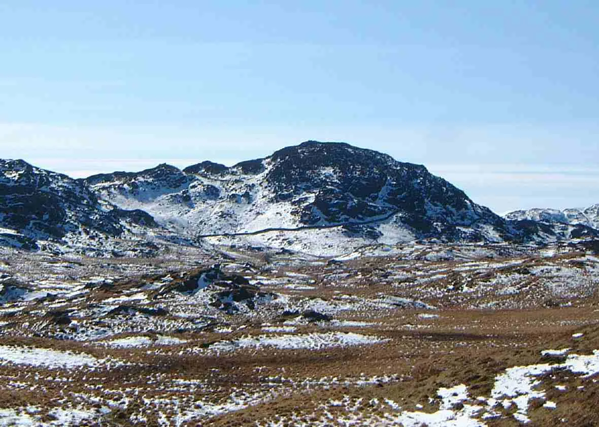
Great Crag
Mountains & hills · 0.5 km
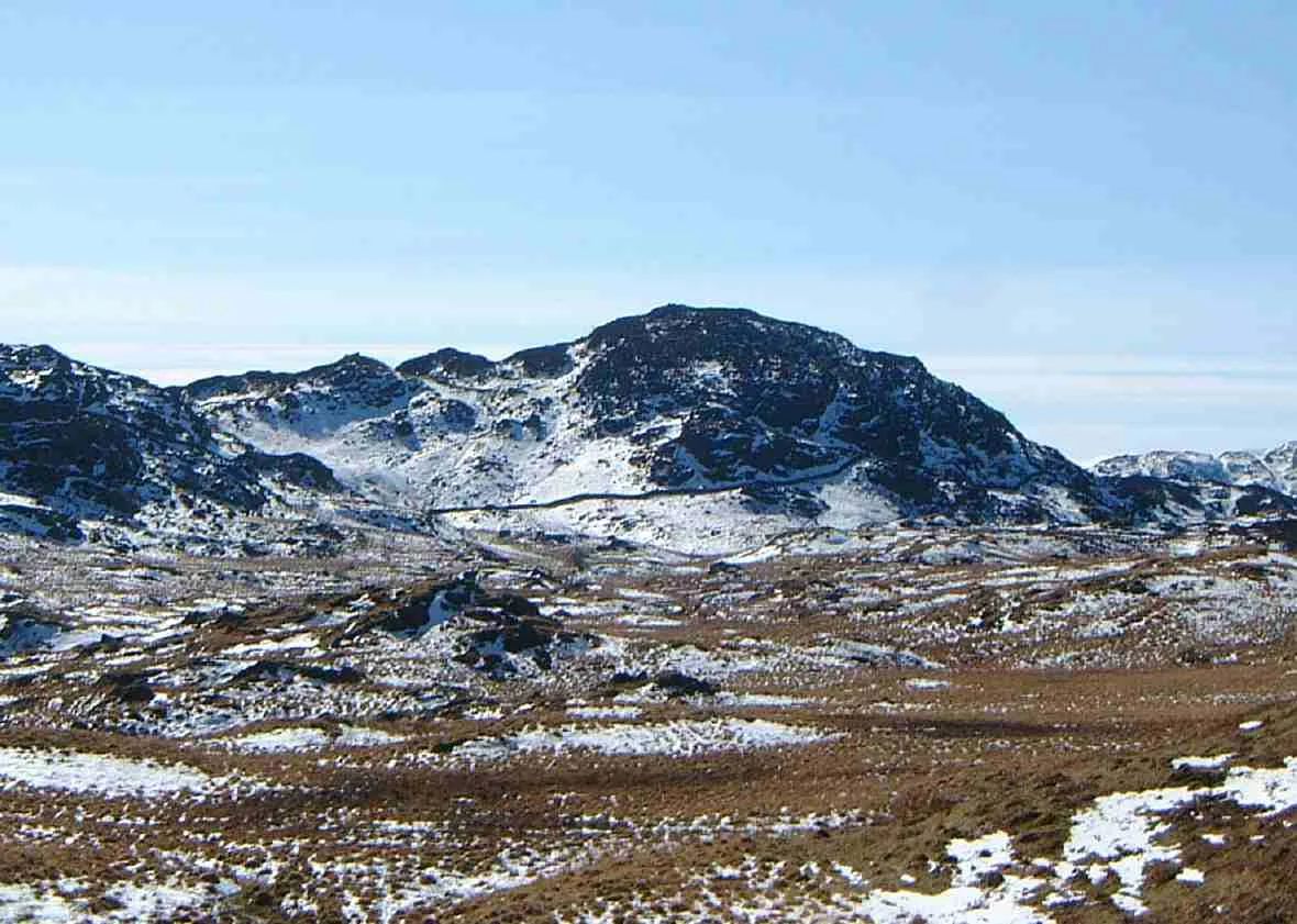
Great Crag
Natural landmarks · 0.6 km

Knotts
Mountains & hills · 0.6 km
Knotts
Mountains & hills · 0.6 km

National Trust Campsite
Campsites · 1.1 km

Galleny Force
Waterfalls · 1.2 km

Rosthwaite
Villages · 1.5 km

Rosthwaite Bridge
Historic bridges · 1.6 km

Chapel House Farm Campsite
Campsites · 1.6 km

Yew Tree Farm
B&Bs · 1.7 km

Watendlath Fell
Mountains & hills · 1.7 km

Low Saddle
Mountains & hills · 1.8 km
Nearby
📷 3📷 3📷 5Mountains & hills · North West England
Knotts
Knotts — mountain in england north east. Elevation: 401.7 m.
📷 5📷 5Campsites · North West England
National Trust Campsite
National Trust Campsite — a campsite in england north east.
📷 5Where to eat & stay near Dock Tarn
Places to stay
📷 5Campsites · North West England
National Trust Campsite
National Trust Campsite — a campsite in england north east.
📷 5Campsites · North West England
Chapel House Farm Campsite
Chapel House Farm Campsite — a campsite in england north east.
📷 7B&Bs · North West England
Yew Tree Farm
Yew Tree Farm — a bed-and-breakfast in england north east.
 📷 5
📷 5 📷 5
📷 5Campsites · North West England
Seatoller Farm
Seatoller Farm — a campsite in england north east.
 📷 5
📷 5Campsites · North West England
Hollows Farm Campsite
Hollows Farm Campsite — a campsite in england north east.
Places to eat & drink
 📷 7
📷 7Cafés · North West England
Grange Bridge Cottage
Grange Bridge Cottage — a café in england north east.
 📷 7
📷 7Historic pubs · North West England
The Travellers Rest
The Travellers Rest in England North West, United Kingdom.
 📷 5
📷 5 📷 5
📷 5Historic pubs · North West England
Golden Rule Hotel
Golden Rule Hotel in England North West, United Kingdom.
 📷 5
📷 5Restaurants · North West England
Holbeck Ghyll Restaurant
Holbeck Ghyll Restaurant — a restaurant in england north west.
 📷 4
📷 4Restaurants · North West England
Holbeck Ghyll
Holbeck Ghyll is a restaurant located in Windermere, Cumbria, England. "The late 19th century building was once Lord Lonsdale's hunting lodge and only became a hotel in the 1970s. It won a Michelin st
More natural landmarks in this region
 📷 3
📷 3Natural landmarks · North West England
Statue of Oliver Cromwell
Statue of Oliver Cromwell — Public artwork (statue).
 📷 3
📷 3Natural landmarks · North West England
Dagfields Craft Centre
Dagfields Craft Centre — a other in england-west-midlands, United Kingdom.
 📷 3
📷 3Natural landmarks · North West England
Weaver Valley Cruises
Weaver Valley Cruises — a other in england-west-midlands, United Kingdom.
 📷 3
📷 3Natural landmarks · North West England
Golden Gates
Golden Gates — a other in england-west-midlands, United Kingdom.
Frequently asked questions
- Where is Dock Tarn?
- Dock Tarn is in North-East England, United Kingdom (postcode CA12 5FA), in the parish of Borrowdale.
- What is Dock Tarn?
- Dock Tarn — lake in the United Kingdom.
- How do I get to Dock Tarn?
- Drivers can use postcode CA12 5FA.
- Is Dock Tarn a protected site?
- Yes — Dock Tarn is part of the River Derwent and Tributaries SSSI Site of Special Scientific Interest and the Armboth Fells SSSI Site of Special Scientific Interest.
- Is Dock Tarn free to visit?
- Yes, Dock Tarn is free to enter.
- How do I get to Dock Tarn?
- Drivers can navigate to postcode CA12 5FA. It sits within the Penrith and Solway parliamentary constituency.