
Forests & woodlands · East Midlands
Ditchford Lakes and Meadows
In or near Finedon.
Ditchford Lakes and Meadows is a forest or woodland in the United Kingdom.

Wikimedia Commons contributors — see linked file page for photographer and licence licence

Plan your visit
- Typical visit
- 1 h–3 h
- Nearest railway station
- Wellingborough · 3.0 km
- Free entry
- Family-friendly
- Dog-friendly
Getting there & planning your visit
Ditchford Lakes and Meadows is located in North Northamptonshire, postcode NN10 6FT. The nearest railway station is Wellingborough, which is 3 km away. Entry to the site is free.
About
Ditchford Lakes and Meadows is a named forest, woodland or nature reserve in the United Kingdom. Coordinates: 52.3029°, -0.6326°. This entry is part of The Great Britain Guide, a free, ad-free, open-data tourist directory.
Photo gallery
Protected designations
- Site of Special Scientific Interest: Upper Nene Valley Gravel Pits SSSI
- Ramsar wetland: Upper Nene Valley Gravel Pits
Designations sourced from Natural England open data under OGL v3.
From the Wikipedia article
Ditchford Lakes and Meadows is a 31.1-hectare (77-acre) nature reserve Northamptonshire. It is managed by the Wildlife Trust for Bedfordshire, Cambridgeshire and Northamptonshire. It is part of the Upper Nene Valley Gravel Pits Site of Special Scientific Interest, Ramsar wetland site of international importance, and Special Protection Area under the European Communities Birds Directive. This site has lakes in old gravel pits which are used by wintering and breeding birds such as Cetti's warblers, coots, oystercatchers and grey herons. The lakes are also visited by otters. There are areas of grassland and willow scrub. There is access from Ditchford Road.
Excerpt from Wikipedia under CC BY-SA 4.0. See the source article linked in Sources below.
- Coordinates
- 52.3029, -0.6326
- District
- North Northamptonshire
- Parish
- Rushden
- Postcode
- NN10 6FT
- Parliamentary constituency
- Wellingborough and Rushden
- Nearest railway station
- Wellingborough — 3 km
Sources
- osm: w92226891 (ODbL)
- wikipedia: Ditchford Lakes and Meadows (CC BY-SA 4.0)
- commons: Crossing the Meadows at Ditchford Lakes Nature Reserve - June 2009 - panoramio.jpg (CC BY-SA 4.0)
Other places nearby

Cineworld
Cinemas · 0.3 km

Discover Northamptonshire
Natural landmarks · 0.4 km

Ditchford Bridge and attached causeway
Historic bridges · 0.4 km
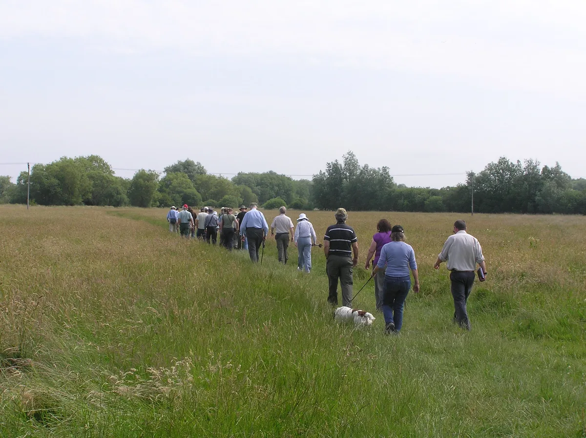
Ditchford Lakes and Meadows
Wildlife reserves · 0.5 km
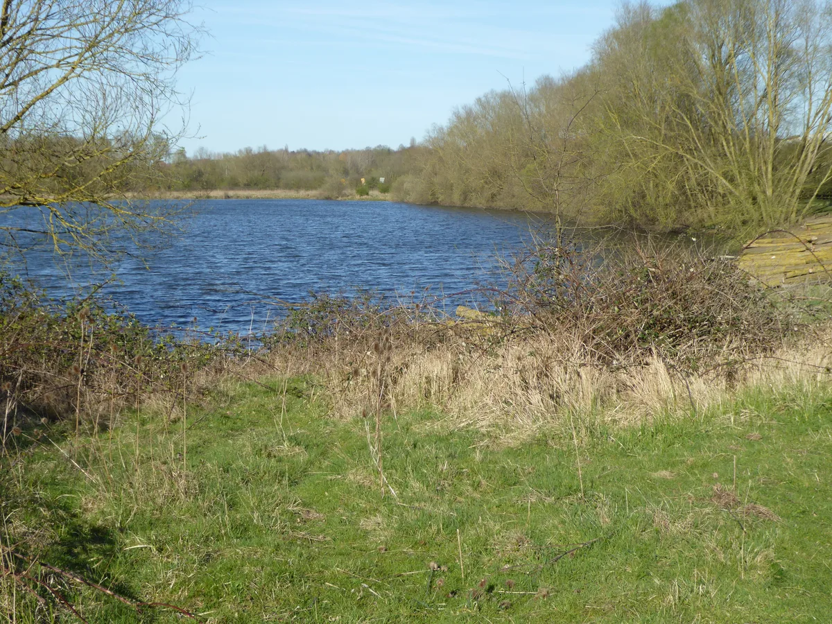
Wilson's Pits
Wildlife reserves · 1.1 km

Higham Ferrers Pits and Wilson's Pits
Forests & woodlands · 1.6 km
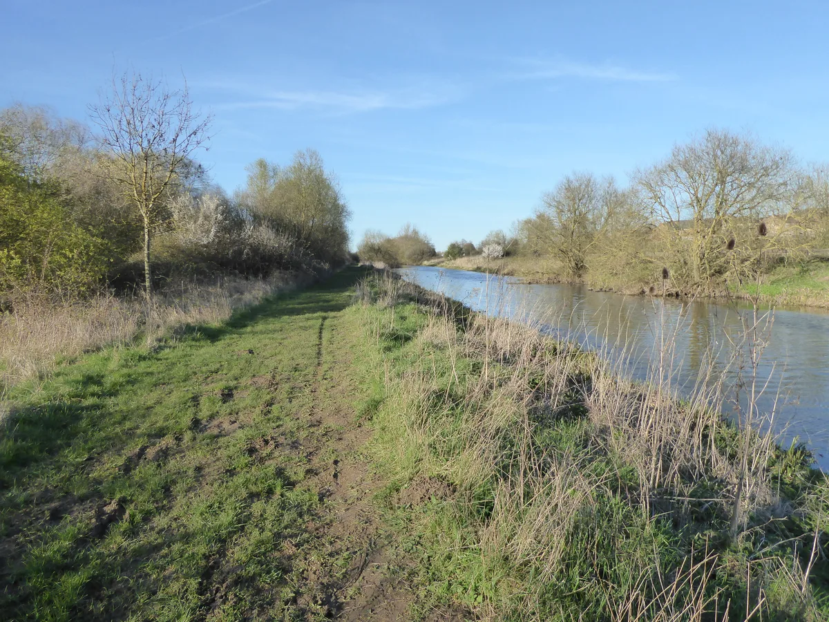
Higham Ferrers Pits
Wildlife reserves · 1.7 km

Finedon Top Lodge Quarry
Quarries · 2.0 km

Bridge Approximately 60 Metres East Of Ford Cottage (Not Included)
Historic bridges · 2.0 km

Irchester Roman Town
Historic houses · 2.1 km
.jpg?width=1200)
Church of St Katherine
Historic churches · 2.2 km

Roman temple in Higham Ferrers
Follies · 2.4 km
Nearby
📷 5📷 3Natural landmarks · East Midlands
Discover Northamptonshire
Discover Northamptonshire — a other in england-west-midlands, United Kingdom.
📷 3Historic bridges · East Midlands
Ditchford Bridge and attached causeway
Ditchford Bridge and attached causeway — scheduled monument-listed bridge in england-west-midlands, United Kingdom.
📷 3Wildlife reserves · East Midlands
Ditchford Lakes and Meadows
Ditchford Lakes and Meadows — nature reserve in the United Kingdom.
📷 5Wildlife reserves · East Midlands
Wilson's Pits
Wilson's Pits — nature reserve in the United Kingdom.
📷 5Forests & woodlands · East Midlands
Higham Ferrers Pits and Wilson's Pits
Higham Ferrers Pits and Wilson's Pits is a forest or woodland in the United Kingdom.
Where to eat & stay near Ditchford Lakes and Meadows
Places to stay
 📷 5
📷 5 📷 7
📷 7Hotels · East Midlands
The Hind Hotel
The Hind Hotel — a hotel in england west midlands.
 📷 5
📷 5 📷 3
📷 3Campsites · East Midlands
Grendon Lake Camping
Grendon Lake Camping — a campsite in england west midlands.
 📷 5
📷 5Campsites · East Midlands
Wicksteed Park Camping
Wicksteed Park Camping — a campsite in england west midlands.
 📷 5
📷 5Caravan parks · East Midlands
Overstone Lakes Caravan Site
Overstone Lakes Caravan Site — a caravan park in england west midlands.
Places to eat & drink
 📷 5
📷 5 📷 5
📷 5Historic pubs · East Midlands
Ye Golden Lion Public House
Ye Golden Lion Public House in England East, United Kingdom.
 📷 5
📷 5Historic pubs · East Midlands
Mulso Arms Public House And Barns Attached To North West And South West
Mulso Arms Public House And Barns Attached To North West And South West in England East, United Kingdom.
📷 5Historic pubs · East Midlands
The Bell Inn Public House
The Bell Inn Public House in England East, United Kingdom.
 📷 5
📷 5Historic pubs · East Midlands
67 and 69 High Street
67 and 69 High Street in England East, United Kingdom.
 📷 5
📷 5Historic pubs · East Midlands
Fox And Hounds Public House
Fox And Hounds Public House in England East, United Kingdom.
More forests in this region
 📷 5
📷 5Forests & woodlands · East Midlands
Castor Hanglands NNR
Castor Hanglands NNR is a forest or woodland in the United Kingdom.
 📷 5
📷 5Forests & woodlands · East Midlands
Eye Green Local Nature Reserve
Eye Green Local Nature Reserve is a forest or woodland in the United Kingdom.
 📷 5
📷 5Forests & woodlands · East Midlands
Star Pit Nature Reserve
Star Pit Nature Reserve is a forest or woodland in the United Kingdom.
 📷 5
📷 5Forests & woodlands · East Midlands
Attenborough Nature Reserve
Attenborough Nature Reserve is a forest or woodland in the United Kingdom.
Frequently asked questions
- Where is Ditchford Lakes and Meadows?
- Ditchford Lakes and Meadows is in the East Midlands, United Kingdom (postcode NN10 6FT), in the parish of Rushden.
- What is Ditchford Lakes and Meadows?
- Ditchford Lakes and Meadows is a forest or woodland in the United Kingdom.
- How do I get to Ditchford Lakes and Meadows?
- The nearest railway station is Wellingborough, about 3.0 km away. The nearest town is Finedon. Drivers can use postcode NN10 6FT.
- Who owns Ditchford Lakes and Meadows?
- Ditchford Lakes and Meadows is owned by Wildlife Trust for Bedfordshire, Cambridgeshire and Northamptonshire.
- Is Ditchford Lakes and Meadows a protected site?
- Yes — Ditchford Lakes and Meadows is part of the Upper Nene Valley Gravel Pits SSSI Site of Special Scientific Interest and the Upper Nene Valley Gravel Pits Ramsar wetland.
- Is Ditchford Lakes and Meadows free to visit?
- Yes, Ditchford Lakes and Meadows is free to enter.
- How do I get to Ditchford Lakes and Meadows?
- The nearest railway station is Wellingborough, about 3.0 km away. Drivers can navigate to postcode NN10 6FT.