
Hill forts · North Wales
Din Lligwy
Din Lligwy — a number of hut circles surrounded by an enclosing wall.

Wikimedia Commons contributors — see linked file page for photographer and licence licence

Plan your visit
- Typical visit
- 1 h–2 h
- Free entry
- Family-friendly
- Dog-friendly
- Limited wheelchair access
About
Din Lligwy is a hill fort in the United Kingdom. Heritage designation: scheduled monument. Owned by Cadw. Managed by Cadw. Wikidata describes it as: "a number of hut circles surrounded by an enclosing wall". Coordinates: 53.3504°, -4.2595°.
Photo gallery
Summary from the official site
Din Lligwy is an ancient Romano-British village featuring the remains of round huts and rectangular buildings surrounded by a thick stone wall. The site, which dates back to the late Roman period, is believed to have been part of a farming community, with structures likely used for livestock and workshops.
Read more on the official property page.
From the Wikipedia article
Din Lligwy, officially spelled Din Llugwy, hut circle is an ancient village site near the east coast of Anglesey, close to the village of Moelfre, North Wales. Excavations in 1905–1907 produced hundreds of Roman-period pot sherds of the 3rd and 4th centuries CE, many repaired with iron clamps. Animal bones were found too, some made into tools and one into a musical instrument. The most important economic activity, however, appears to have been iron working, smithing and perhaps smelting. Despite the mainly Roman finds, the origins of the settlement may well go back into the Iron Age and it was probably a small farming community. From excavation, it seems that the round structures were probably houses and the rectangular ones barns or workshops. For a Roman site, much remains visible above ground, including the enclosing wall and the foundations of many buildings, many of them with substantial and well made foundations constructed from the local limestone. The outer protective wall is almost intact although much reduced in height. Din Lligwy is situated on a low hill with good views over Anglesey and a reliable source of fresh water nearby. The hill is now overgrown with sycamore and ash but it is probable that when it was occupied, the village would have had uninterrupted views all around. Since 2024, Cadw, who maintain the site, use the spelling "Llugwy".
Excerpt from Wikipedia under CC BY-SA 4.0. See the source article linked in Sources below.
- Coordinates
- 53.3504, -4.2595
- District
- Isle of Anglesey
- Parish
- Moelfre
- Postcode
- LL72 8NH
- Parliamentary constituency
- Ynys Môn
- Opening
- Daily 10am–4pm; closed 24–26 Dec and 1 Jan
- Official site
- cadw.gov.wales
Sources
- wikidata: Q3405175 (CC0)
- wikipedia: Din Lligwy (CC BY-SA 4.0)
- commons: House at Din Llugwy.jpg (CC BY-SA 4.0)
Other places nearby

Capel Llugwy
Archaeological sites · 0.3 km
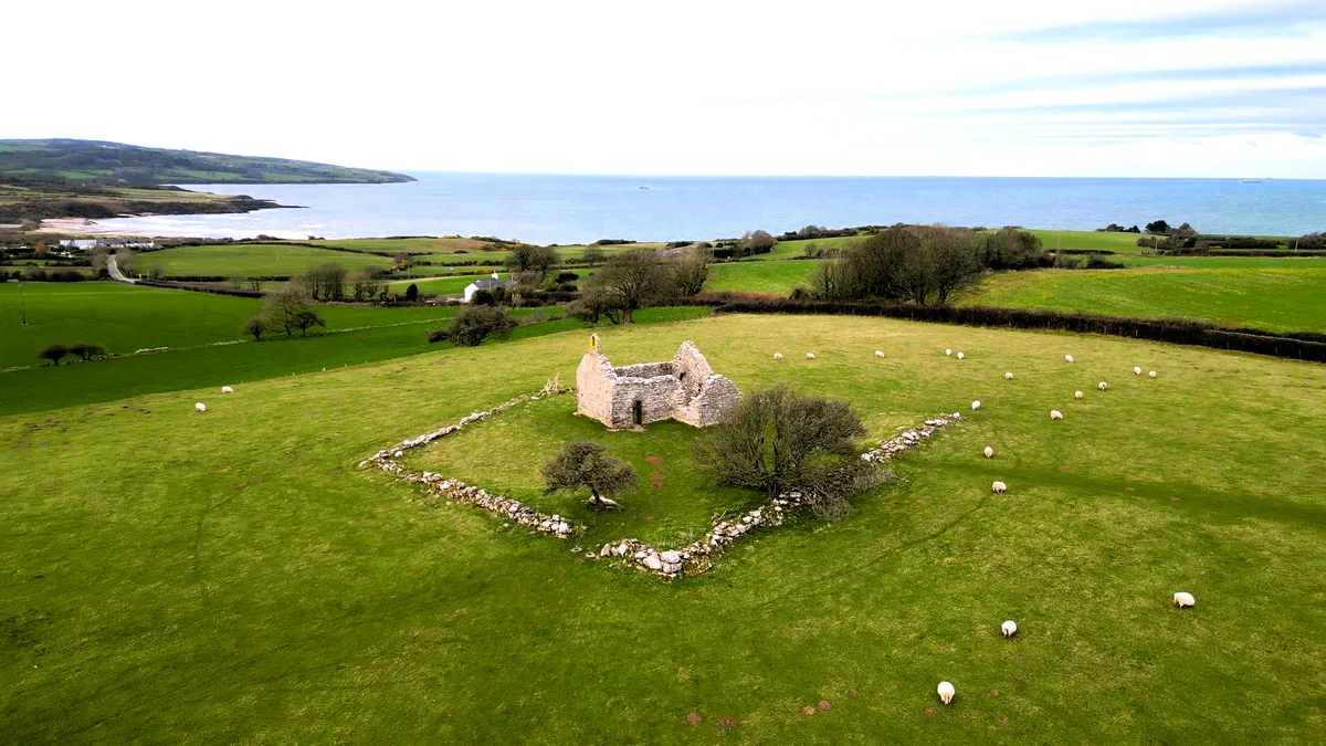
Capel Lligwy
Historic churches · 0.3 km

Beddrod Siambr Llugwy
Archaeological sites · 0.4 km

Beddrod Siambr Llugwy
Archaeological sites · 0.4 km

Penrhos-Lligwy
Villages · 0.5 km
Rynys Caravan Park
Caravan parks · 0.5 km

Ty'n Rhos Caravan Park
Caravan parks · 0.6 km

Dafarn Rhos Campsite
Campsites · 0.8 km
Creigiau
Caravan parks · 0.9 km

Minffordd Caravan Park
Caravan parks · 1.0 km
Lligwy Caravan Park
Caravan parks · 1.0 km

Llanallgo
Historic churches · 1.0 km
Nearby
📷 3Archaeological sites · North Wales
Capel Llugwy
Capel Llugwy — a archaeological in wales-north, United Kingdom.
📷 3Historic churches · North Wales
Capel Lligwy
Capel Lligwy — Grade II listed building in Anglesey. Ruined chapel in Anglesey, Wales.
📷 3Archaeological sites · North Wales
Beddrod Siambr Llugwy
Beddrod Siambr Llugwy — a archaeological in wales-north, United Kingdom.
📷 5Archaeological sites · North Wales
Beddrod Siambr Llugwy
Beddrod Siambr Llugwy — archaeological in wales north. Operated by Cadw.
📷 5📷 5Where to eat & stay near Din Lligwy
Places to stay
📷 5📷 5Caravan parks · North Wales
Ty'n Rhos Caravan Park
Ty'n Rhos Caravan Park — a caravan park in wales north.
📷 5Campsites · North Wales
Dafarn Rhos Campsite
Dafarn Rhos Campsite — a campsite in wales north.
📷 5📷 5Caravan parks · North Wales
Minffordd Caravan Park
Minffordd Caravan Park — a caravan park in wales north.
📷 5Places to eat & drink
 📷 5
📷 5 📷 5
📷 5Historic pubs · North Wales
The Kings Head Hotel
The Kings Head Hotel in Wales North, United Kingdom.
 📷 5
📷 5Historic pubs · North Wales
The Bull Hotel, Llangefni
The Bull Hotel, Llangefni in Wales North, United Kingdom.
 📷 5
📷 5Historic pubs · North Wales
The George and Dragon
The George and Dragon — Historic pub — listed building or notable heritage status.
 📷 7
📷 7 📷 7
📷 7More places run by Cadw
 📷 5
📷 5Castles · North Wales
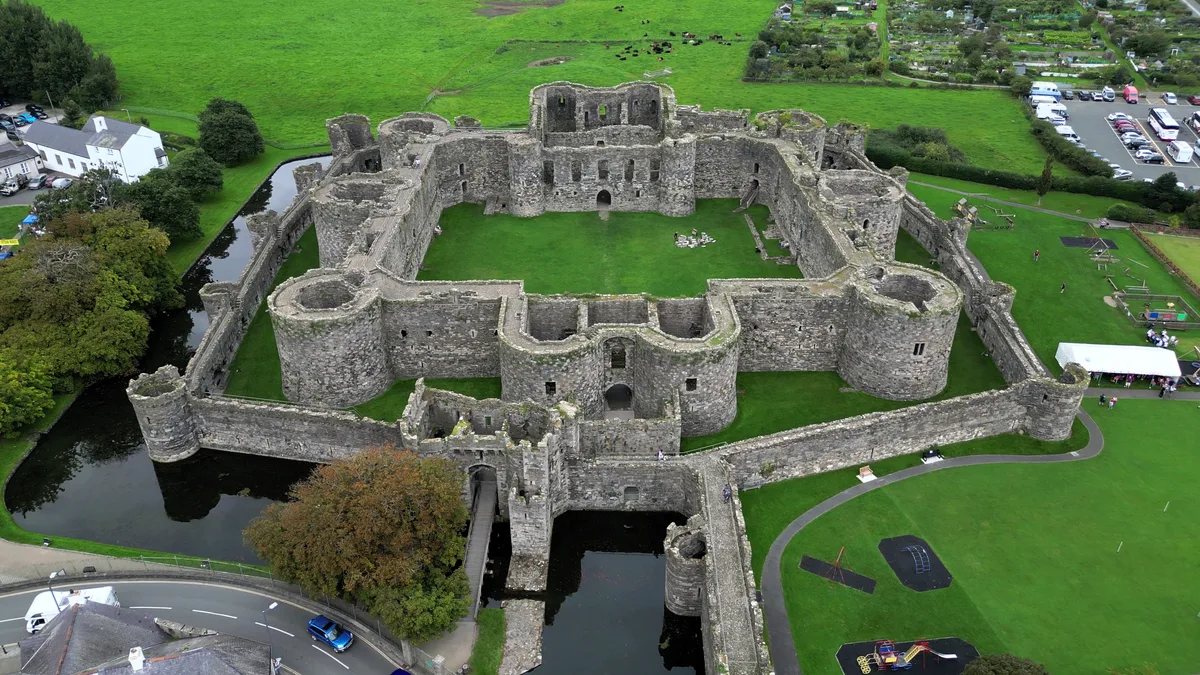
Beaumaris Castle
Beaumaris Castle — castle in Beaumaris, Anglesey, Wales.
 📷 3
📷 3Castles · North Wales
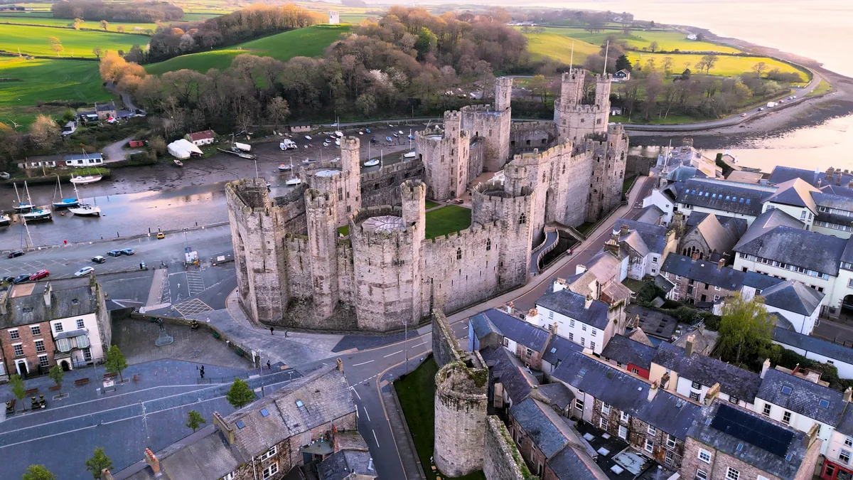
Caernarfon Castle
Caernarfon Castle — castle in Caernarfon, North Wales.
 📷 5
📷 5Castles · North Wales
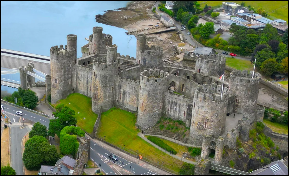
Conwy Castle
Conwy Castle — castle in Conwy, North Wales.
 📷 4
📷 4Castles · North Wales
Harlech Castle
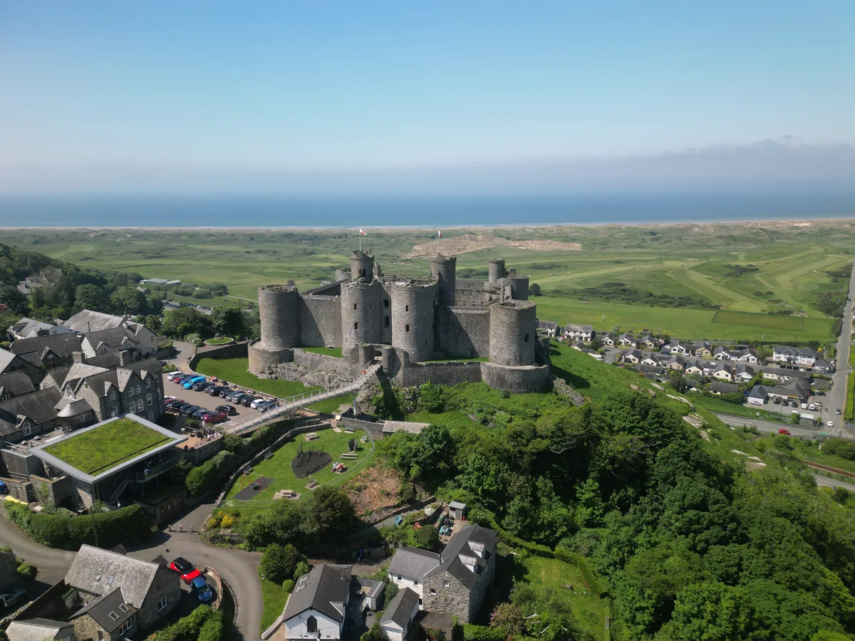
Harlech Castle — castle in Harlech, Gwynedd, Wales.
More places in this region
 📷 3
📷 3Hill forts · North Wales
Ffynnon Beuno and Cae Gwyn Caves
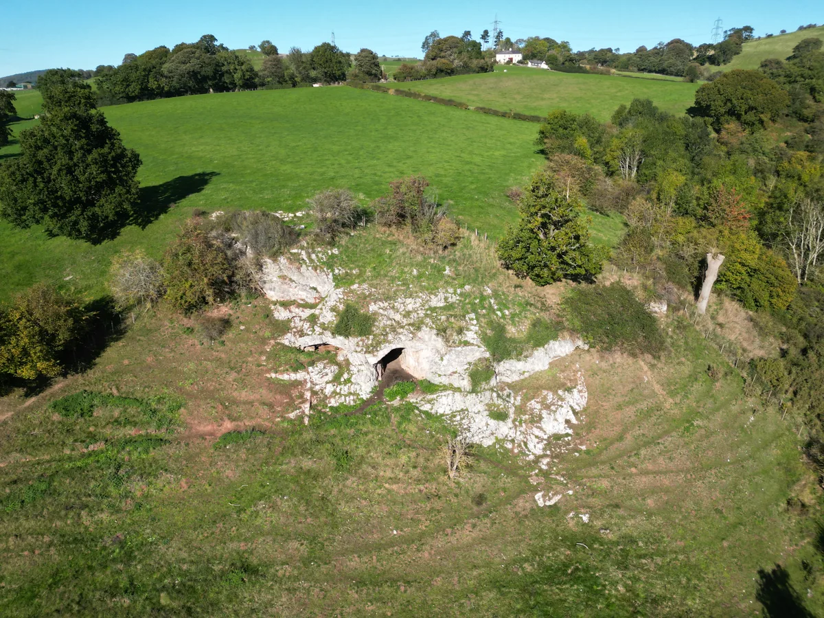
Ffynnon Beuno and Cae Gwyn Caves — Site of Special Scientific Interest in Wales.
 📷 5
📷 5Hill forts · North Wales
Penycloddiau
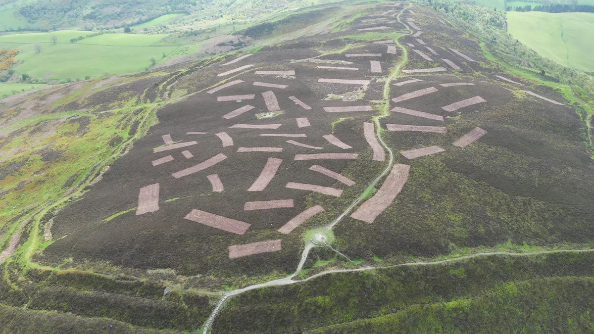
Penycloddiau — hillfort primarily located in Ysceifiog community, Flintshire.
 📷 5
📷 5Hill forts · North Wales
Barclodiad y Gawres
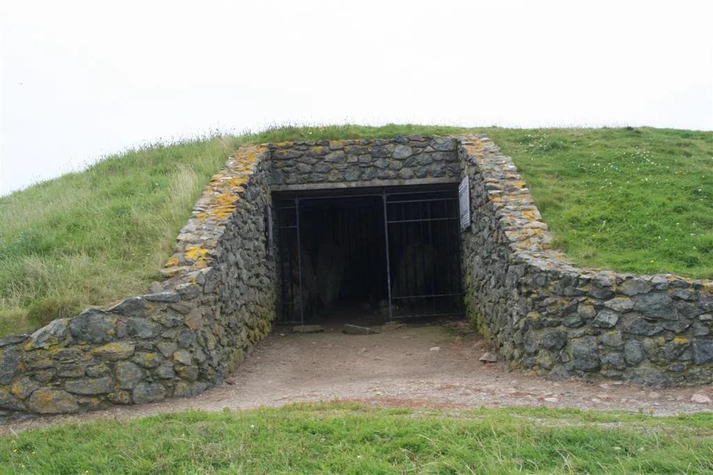
Barclodiad y Gawres — neolithic burial chamber in Anglesey, Wales, UK.
 📷 3
📷 3Hill forts · North Wales
Bodowyr Burial Chamber
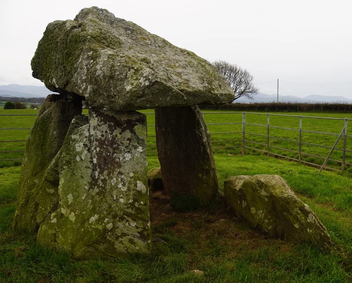
Bodowyr Burial Chamber — Neolithic burial chamber in Llanidan, Anglesey, Wales, UK.
Frequently asked questions
- Where is Din Lligwy?
- Din Lligwy is in North Wales, United Kingdom (postcode LL72 8NH), in the parish of Moelfre.
- What is Din Lligwy?
- Din Lligwy — a number of hut circles surrounded by an enclosing wall.
- How do I get to Din Lligwy?
- Drivers can use postcode LL72 8NH.
- Who runs Din Lligwy?
- Din Lligwy is operated by Cadw.
- Is Din Lligwy a listed building?
- Din Lligwy is officially recognised as scheduled monument listed.
- Is Din Lligwy free to visit?
- Yes, Din Lligwy is free to enter.
- How do I get to Din Lligwy?
- Drivers can navigate to postcode LL72 8NH. It sits within the Ynys Môn parliamentary constituency.