Natural landmarks · South East England
Devil's Dyke, Sussex
In or near Hangleton.
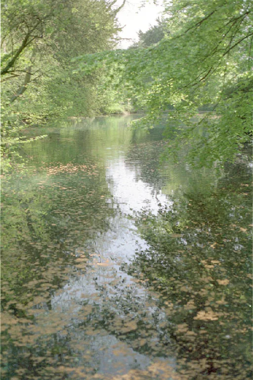
Devil's Dyke, also sometimes called Satan's ditch, is a 100-metre (330 ft) deep V-shaped dry valley on the South Downs in Sussex in southern England, 5 miles (8.0 km) north-west of Brighton. It is man

Rob Farrow — CC BY-SA 2.0 via Wikimedia Commons licence
Plan your visit
- Typical visit
- 1 h–2 h
- Nearest railway station
- Portslade · 5.5 km
- Free entry
- Dog-friendly
Getting there & planning your visit
To visit Devil's Dyke in Sussex, the nearest railway station is Portslade, which is 5.5 km away. The postcode for sat-nav is BN1 8YL. Entry to the site is free.
About
Devil's Dyke, also sometimes called Satan's ditch, is a 100-metre (330 ft) deep V-shaped dry valley on the South Downs in Sussex in southern England, 5 miles (8.0 km) north-west of Brighton. It is managed by the National Trust, and is also part of the Beeding Hill to Newtimber Hill Site of Special Scientific Interest. Devil's Dyke was a major local tourist attraction in the late 19th and early 20th centuries. It is now a popular viewpoint and site for walking, model aircraft flying and hang gliding. The South Downs Way passes the site.
Photo gallery
Protected designations
- Site of Special Scientific Interest: Beeding Hill to Newtimber Hill SSSI
- Area of Outstanding Natural Beauty: High Weald
Designations sourced from Natural England open data under OGL v3.
From the Wikipedia article
Devil's Dyke, also sometimes called Satan's ditch, is a 100-metre (330 ft) deep V-shaped dry valley on the South Downs in Sussex in southern England, 5 miles (8.0 km) north-west of Brighton. It is managed by the National Trust, and is also part of the Beeding Hill to Newtimber Hill Site of Special Scientific Interest. Devil's Dyke was a major local tourist attraction in the late 19th and early 20th centuries. It is now a popular viewpoint and site for walking, model aircraft flying and hang gliding. The South Downs Way passes the site.
Excerpt from Wikipedia under CC BY-SA 4.0. See the source article linked in Sources below.
- Coordinates
- 50.8850, -0.2050
- County
- West Sussex
- District
- Mid Sussex
- Parish
- Poynings
- Postcode
- BN1 8YL
- Parliamentary constituency
- Mid Sussex
- Nearest railway station
- Portslade — 5.5 km
Sources
- wikipedia: Devil's Dyke, Sussex (CC BY-SA 4.0)
Other places nearby
Devil's Dyke
Natural landmarks · 0.1 km
Castle on the Hill
Castles · 0.2 km

Remains of Cableway
Natural landmarks · 0.4 km

Remains of Bicycle Railway
Natural landmarks · 0.4 km

Devil's Dyke hillfort
Vineyards · 0.4 km
Remains of Funicular Railway
Natural landmarks · 0.4 km

Victorian Playground
Natural landmarks · 0.5 km

Devil's Dyke
Mountains & hills · 0.6 km

The Bomb House
Historic houses · 0.7 km

Saddlescombe Campsite
Campsites · 1.0 km

well house with donkey wheel
Historic houses · 1.0 km

Poynings
Villages · 1.0 km
Nearby
📷 5Natural landmarks · South East England
Devil's Dyke
Devil's Dyke — a other in england-south-east, United Kingdom.
📷 5Castles · South East England
Castle on the Hill
Castle on the Hill — a castle in england-south-east, United Kingdom.
📷 5Natural landmarks · South East England
Remains of Cableway
Remains of Cableway — a other in england-south-east, United Kingdom.
📷 5Natural landmarks · South East England
Remains of Bicycle Railway
Remains of Bicycle Railway — a other in england-south-east, United Kingdom.
📷 5Vineyards · South East England
Devil's Dyke hillfort
Devil's Dyke hillfort — a UK vineyard in england south east, producing English or Welsh wine from cool-climate grape varieties.
📷 5Natural landmarks · South East England
Remains of Funicular Railway
Remains of Funicular Railway — a other in england-south-east, United Kingdom.
Where to eat & stay near Devil's Dyke, Sussex
Places to stay
📷 5Campsites · South East England
Saddlescombe Campsite
Saddlescombe Campsite — a campsite in england south east.
 📷 5
📷 5 📷 5
📷 5Campsites · South East England
YHA Truleigh Hill
YHA Truleigh Hill — a campsite in england south east.
 📷 5
📷 5 📷 5
📷 5Campsites · South East England
Hillside Scout Camp
Hillside Scout Camp — a campsite in england south east.
 📷 5
📷 5Caravan parks · South East England
Southdown Caravan Park
Southdown Caravan Park — a caravan park in england south east.
Places to eat & drink
.jpg?width=1200) 📷 5
📷 5Historic pubs · South East England
Hangleton Manor
Hangleton Manor — Historic pub — listed building or notable heritage status.
 📷 5
📷 5Historic pubs · South East England
The Stags Head Public House
The Stags Head Public House in England South East, United Kingdom.
 📷 6
📷 6Historic pubs · South East England
Sussex Arms Public House
Sussex Arms Public House in England South East, United Kingdom.
 📷 5
📷 5Historic pubs · South East England
Freemasons Tavern
Freemasons Tavern in England South East, United Kingdom.
 📷 7
📷 7 📷 5
📷 5Historic pubs · South East England
The Royal Sovereign Public House
The Royal Sovereign Public House in England South East, United Kingdom.
More natural landmarks in this region
 📷 5
📷 5Natural landmarks · South East England
Queen Victoria Statue
Queen Victoria Statue — Public artwork (statue) by Victor Ferdinand Franz Eugen Gustaf Adolf Constantin Friedrich of Hohenlohe-Langenburg.
 📷 5
📷 5Natural landmarks · South East England
Silent Pool
Silent Pool — lake in the United Kingdom.
 📷 5
📷 5Natural landmarks · South East England
Thomas & Jane Holloway Statue
Thomas & Jane Holloway Statue — Public artwork (statue) by Victor Ferdinand Franz Eugen Gustaf Adolf Constantin Friedrich of Hohenlohe-Langenburg.
 📷 5
📷 5Natural landmarks · South East England
Polesden Lacey
Polesden Lacey — a other in england-london, United Kingdom.
Frequently asked questions
- Where is Devil's Dyke, Sussex?
- Devil's Dyke, Sussex is in West Sussex, South-East England, United Kingdom (postcode BN1 8YL), in the parish of Poynings.
- What is Devil's Dyke, Sussex?
- Devil's Dyke, also sometimes called Satan's ditch, is a 100-metre (330 ft) deep V-shaped dry valley on the South Downs in Sussex in southern England, 5 miles (8.0 km) north-west of Brighton. It is man
- How do I get to Devil's Dyke, Sussex?
- The nearest railway station is Portslade, about 5.5 km away. Drivers can use postcode BN1 8YL.
- Is Devil's Dyke, Sussex a protected site?
- Yes — Devil's Dyke, Sussex is part of the Beeding Hill to Newtimber Hill SSSI Site of Special Scientific Interest and the High Weald National Landscape (AONB).
- Is Devil's Dyke, Sussex free to visit?
- Yes, Devil's Dyke, Sussex is free to enter.
- How do I get to Devil's Dyke, Sussex?
- The nearest railway station is Portslade, about 5.5 km away. Drivers can navigate to postcode BN1 8YL.