
Vineyards · South Wales
Deserted Medieval Village W of St Mary's Church
In or near Caerwent.
Deserted Medieval Village W of St Mary's Church — a UK vineyard in wales south, producing English or Welsh wine from cool-climate grape varieties.

Jaggery — CC BY-SA 2.0 via Wikimedia Commons licence

Plan your visit
- Typical visit
- 1 h–2 h
- Best time of year
- Late summer & autumn (Aug–Oct)
- Nearest railway station
- Severn Tunnel Junction · 5.3 km
About
Deserted Medieval Village W of St Mary's Church is one of Britain's growing number of vineyards, located in wales south. UK viticulture has expanded significantly since the 1980s, with English sparkling wines now winning international awards. Most British vineyards offer tours and tastings of their estate-grown wines.
Photo gallery
Protected designations
- Site of Special Scientific Interest: Severn Estuary SSSI
Designations sourced from Natural England open data under OGL v3.
Place summary
The Deserted Medieval Village W of St Mary's Church is a historical site located in South Wales. This area features remnants of a once-thriving settlement dating back to the medieval period. Visitors can explore the vineyard that now occupies part of the site, which offers a unique blend of history and viticulture. The setting provides a tranquil atmosphere, suitable for leisurely walks and an appreciation of the landscape.
AI-generated from the structured facts on this page (operator, designation, listing, era). Not a substitute for visiting.
- Coordinates
- 51.5876, -2.8542
- District
- Newport
- Parish
- Bishton
- Postcode
- NP26 3DA
- Parliamentary constituency
- Newport East
- Nearest railway station
- Severn Tunnel Junction — 5.3 km
Sources
- wikidata: Q122219321 (CC0)
Other places nearby

Wilcrick Hill
Mountains & hills · 0.3 km

Wilcrick Hill Camp
Vineyards · 0.3 km

Tŷ Magor
Hotels · 0.9 km

Cae Wall Wood Motte
Literary houses · 1.3 km
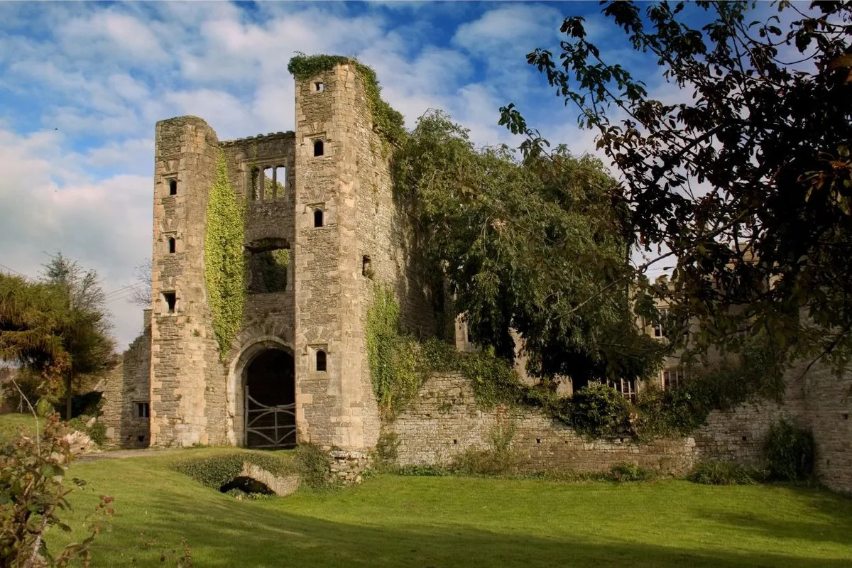
Pencoed Castle
Castles · 1.4 km

Trefesgob Castle
Literary houses · 1.7 km

Bishton Castle
Castles · 1.7 km

Magor War Memorial
Memorials & monuments · 1.8 km

Magor
Villages · 1.8 km

Magor Mansion
Historic houses · 1.8 km

The Procurator's House
Natural landmarks · 1.8 km
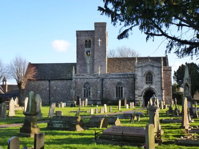
St Mary's Church
Historic churches · 1.9 km
Nearby
📷 5Mountains & hills · South Wales
Wilcrick Hill
Wilcrick Hill — mountain in wales south. Elevation: 69 m.
📷 5Vineyards · South Wales
Wilcrick Hill Camp
Wilcrick Hill Camp — a UK vineyard in wales south, producing English or Welsh wine from cool-climate grape varieties.
📷 7📷 5Literary houses · South Wales
Cae Wall Wood Motte
Cae Wall Wood Motte — a literary house museum in wales south.
📷 3Castles · South Wales
Pencoed Castle
Pencoed Castle — historic site in Newport, Wales.
📷 5Literary houses · South Wales
Trefesgob Castle
Trefesgob Castle — a literary house museum in wales south.
Where to eat & stay near Deserted Medieval Village W of St Mary's Church
Places to stay
📷 7 📷 7
📷 7Hotels · South Wales
Old Barn Inn Hotel
Old Barn Inn Hotel — a hotel in wales south.
 📷 7
📷 7 📷 5
📷 5 📷 5
📷 5Hotels · South Wales
Coldra Court Hotel
Coldra Court Hotel — a hotel in wales south.
 📷 5
📷 5B&Bs · South Wales
The Ship Inn
The Ship Inn — a bed-and-breakfast in wales south.
Places to eat & drink
 📷 3
📷 3Restaurants · South Wales
Ego at The Groes Wen Inn
Ego at The Groes Wen Inn — a restaurant in wales south. Cuisine: mediterranean. Brand: Ego.

Restaurants · South Wales
Toby Carvery
Toby Carvery — a restaurant in wales south. Cuisine: british. Brand: Toby Carvery.
 📷 7
📷 7 📷 5
📷 5Restaurants · South Wales
The Man of Steel
The Man of Steel — a restaurant in wales south.
 📷 7
📷 7Restaurants · South Wales
The Priory Hotel & Restaurant
The Priory Hotel & Restaurant — a restaurant in wales south. Cuisine: international. 3-star.
 📷 5
📷 5Historic pubs · South Wales
The White Hart, Llangybi, Monmouthshire
The White Hart, Llangybi, Monmouthshire in Wales South, United Kingdom.
More places in this region
 📷 4
📷 4Vineyards · South Wales
Ancre Hill Estates
Ancre Hill Estates — vineyard and winery in Monmouth, Wales.
 📷 3
📷 3Vineyards · South Wales
Sugar Loaf Vineyards
Sugar Loaf Vineyards — Vineyard in Monmouthshire, Wales.
 📷 5
📷 5Vineyards · South Wales
Walton Castle
Walton Castle — a UK vineyard in wales south, producing English or Welsh wine from cool-climate grape varieties.
 📷 5
📷 5Vineyards · South Wales
Dinghurst Fort
Dinghurst Fort — a UK vineyard in wales south, producing English or Welsh wine from cool-climate grape varieties.
Frequently asked questions
- Where is Deserted Medieval Village W of St Mary's Church?
- Deserted Medieval Village W of St Mary's Church is in South Wales, United Kingdom (postcode NP26 3DA), in the parish of Bishton.
- What is Deserted Medieval Village W of St Mary's Church?
- Deserted Medieval Village W of St Mary's Church — a UK vineyard in wales south, producing English or Welsh wine from cool-climate grape varieties.
- How do I get to Deserted Medieval Village W of St Mary's Church?
- The nearest railway station is Severn Tunnel Junction, about 5.3 km away. Drivers can use postcode NP26 3DA.
- Is Deserted Medieval Village W of St Mary's Church a protected site?
- Yes — Deserted Medieval Village W of St Mary's Church is part of the Severn Estuary SSSI Site of Special Scientific Interest.
- How do I get to Deserted Medieval Village W of St Mary's Church?
- The nearest railway station is Severn Tunnel Junction, about 5.3 km away. Drivers can navigate to postcode NP26 3DA.