
Archaeological sites · South West England
Delinuth Camp
In or near St Teath.
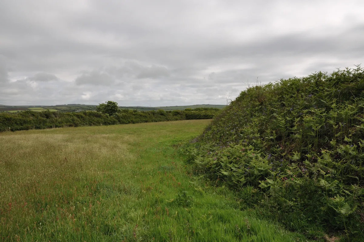
Delinuth Camp — archaeological in england south west.

Colin Park — CC BY-SA 2.0 via Wikimedia Commons licence

Plan your visit
- Typical visit
- 45 min–1.5 h
About
Delinuth Camp is a archaeological located in england south west. A British archaeological site recorded in OpenStreetMap with at least one heritage quality signal (Wikidata link, Wikipedia article or designated operator).
Photo gallery
Protected designations
- Site of Special Scientific Interest: River Camel Valley and Tributaries SSSI
- Area of Outstanding Natural Beauty: Cornwall
Designations sourced from Natural England open data under OGL v3.
Place summary
Delinuth Camp is an archaeological site located in South-West England. It features remnants of ancient structures and earthworks, offering insights into past human activity in the region. The site is of interest to historians and archaeologists alike, providing a tangible connection to the area's heritage. Visitors can explore the landscape and observe the archaeological features that characterise this historical site.
AI-generated from the structured facts on this page (operator, designation, listing, era). Not a substitute for visiting.
- Coordinates
- 50.6149, -4.7138
- District
- Cornwall
- Parish
- Camelford
- Postcode
- PL32 9RQ
- Parliamentary constituency
- North Cornwall
Sources
- osm: w1082290401 (ODbL)
- wikidata: Q17640979 (CC0)
Other places nearby

Delinuth Camp
Archaeological sites · 0.0 km
Round called Castle Goff
Hill forts · 0.4 km

Castle Goff
Castles · 0.4 km

Slate Henge
Viewpoints · 0.8 km

Church of St Julitta, Lanteglos
Historic churches · 0.9 km

Viewing Platform
Viewpoints · 1.0 km

Juliot's Well Holiday Park
Caravan parks · 1.4 km

Planet Park
Caravan parks · 1.5 km

Delabole
Historic churches · 1.6 km
Delabole War Memorial
Memorials & monuments · 1.6 km
Camelford Caravan Club Site
Caravan parks · 1.6 km

Bodulgate
Historic houses · 1.7 km
Nearby
📷 3Archaeological sites · South West England
Delinuth Camp
Delinuth Camp — an archaeological site in South West England, United Kingdom.
📷 5Hill forts · South West England
Round called Castle Goff
Round called Castle Goff — archaeological site in Cornwall, England, UK.
📷 3Castles · South West England
Castle Goff
Castle Goff — a castle in South West England, United Kingdom.
📷 3Viewpoints · South West England
Slate Henge
Slate Henge is a viewpoint in the United Kingdom.
📷 4Historic churches · South West England
Church of St Julitta, Lanteglos
Church of St Julitta, Lanteglos — Grade I listed building-listed church in england-south-west, United Kingdom.
📷 3Viewpoints · South West England
Viewing Platform
Viewing Platform is a viewpoint in the United Kingdom.
Where to eat & stay near Delinuth Camp
Places to stay
📷 5Caravan parks · South West England
Juliot's Well Holiday Park
Juliot's Well Holiday Park — a caravan park in england south west.
📷 5📷 5Caravan parks · South West England
Camelford Caravan Club Site
Camelford Caravan Club Site — a caravan park in england south west.
 📷 5
Caravan parks · South West England
Rosebud Farm Touring Park
Rosebud Farm Touring Park — a caravan park in england south west.
 📷 5
Caravan parks · South West England
Rosewater Caravan Park
Rosewater Caravan Park — a caravan park in england south west.
 📷 5
Caravan parks · South West England
Michaelstow Manor Holiday Park
Michaelstow Manor Holiday Park — a caravan park in england south west.
Places to eat & drink
 📷 7
Restaurants · South West England
Napoleon Inn
Napoleon Inn — a restaurant in england south west.
 📷 7
Restaurants · South West England
Nathan Outlaw
Nathan Outlaw — a restaurant in england south west.
 📷 7
Restaurants · South West England
Outlaws Fish Kitchen
Outlaws Fish Kitchen — a restaurant in england south west.
 📷 7
Restaurants · South West England
Slipway Hotel
Slipway Hotel — a restaurant in england south west.
 📷 7
Historic pubs · South West England
Methodist Chapel
Methodist Chapel in England South West, United Kingdom.
 📷 6
Historic pubs · South West England
The Shipwrights
The Shipwrights in England South West, United Kingdom.
More archaeological sites in this region
 📷 5
Archaeological sites · South West England
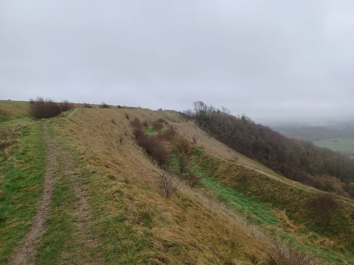
Battlesbury Camp Monuments: hillfort, settlement, cemetery, barrows, enclosure, and field systems
Battlesbury Camp Monuments: hillfort, settlement, cemetery, barrows, enclosure, and field systems — archaeological site in Warminster, Wiltshire, England, UK.
 📷 5
Archaeological sites · South West England
Blandford Forest
Blandford Forest — forest in Blandford Forum, England.
 📷 5
Archaeological sites · South West England
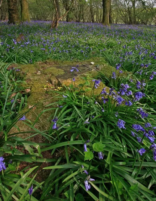
Boulsbury Wood
Boulsbury Wood — protected area in Dorset and Hampshire, England.
 📷 5
Archaeological sites · South West England
Cranborne Chase
Cranborne Chase — Plateau in southern England.
Frequently asked questions
- Where is Delinuth Camp?
- Delinuth Camp is in South-West England, United Kingdom (postcode PL32 9RQ), in the parish of Camelford.
- What is Delinuth Camp?
- Delinuth Camp — archaeological in england south west.
- How do I get to Delinuth Camp?
- The nearest town is St Teath. Drivers can use postcode PL32 9RQ.
- Is Delinuth Camp a protected site?
- Yes — Delinuth Camp is part of the River Camel Valley and Tributaries SSSI Site of Special Scientific Interest and the Cornwall National Landscape (AONB).
- How do I get to Delinuth Camp?
- Drivers can navigate to postcode PL32 9RQ. It sits within the North Cornwall parliamentary constituency.