
Archaeological sites · South West England
Dark Hill
In or near St Briavels.
Dark Hill — archaeological in england west midlands.

Philip Halling — CC BY-SA 2.0 via Wikimedia Commons licence

Plan your visit
- Typical visit
- 45 min–1.5 h
- Nearest railway station
- Oakiron · 1.2 km
About
Dark Hill is a archaeological located in england west midlands. British historic ruins recorded in OpenStreetMap. Many such sites are scheduled monuments or listed structures.
Photo gallery
Protected designations
- Site of Special Scientific Interest: River Wye SSSI
- Area of Outstanding Natural Beauty: Wye Valley
- Ramsar wetland: Severn Estuary
Designations sourced from Natural England open data under OGL v3.
Place summary
Dark Hill is an archaeological site located in the West Midlands. It is known for its historical significance, with evidence of past human activity. The site provides insight into the region's ancient history and is of interest to both researchers and visitors. Interpretative information may be available on-site to enhance understanding of its archaeological features.
AI-generated from the structured facts on this page (operator, designation, listing, era). Not a substitute for visiting.
- Coordinates
- 51.7764, -2.5956
- County
- Gloucestershire
- District
- Forest of Dean
- Parish
- West Dean
- Postcode
- GL16 7LX
- Parliamentary constituency
- Forest of Dean
- Nearest railway station
- Oakiron — 1.2 km
Sources
- osm: n7167337456 (ODbL)
- wikidata: Q15212898 (CC0)
Other places nearby

Dark Hill
Natural landmarks · 0.0 km

Puzzlewood
Natural landmarks · 1.2 km

Perrygrove Railway
Natural landmarks · 1.3 km

Clearwell Caves
Natural landmarks · 1.4 km

Union Colliery Disaster
Memorials & monuments · 1.8 km

Spion Kop Quarry
Parks · 1.8 km

Wyndham Arms
Historic pubs · 2.0 km

Church of St Peter, and 2 Pairs of Gate Piers with Gate
Historic churches · 2.1 km
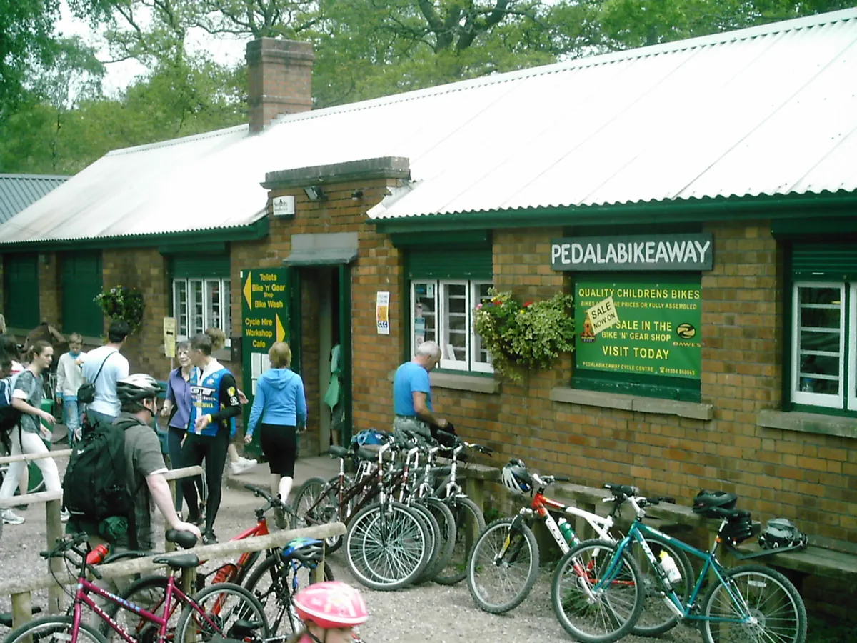
Forest of Dean Cycle Centre
Parks · 2.1 km

Clearwell
Museums · 2.1 km

Coleford, Gloucestershire
Museums · 2.2 km

Coleford Great Western Railway Museum
Museums · 2.2 km
Nearby
📷 3Natural landmarks · South West England
Dark Hill
Dark Hill — a other in england-west-midlands, United Kingdom.
📷 3Natural landmarks · South West England
Puzzlewood
Puzzlewood — a other in wales-south, United Kingdom.
📷 3Natural landmarks · South West England
Perrygrove Railway
Perrygrove Railway — a other in wales-south, United Kingdom.
📷 3Natural landmarks · South West England
Clearwell Caves
Clearwell Caves — a other in wales-south, United Kingdom.
📷 3Memorials & monuments · South West England
Union Colliery Disaster
Union Colliery Disaster — a memorial in england-west-midlands, United Kingdom.
📷 3Parks · South West England
Spion Kop Quarry
Spion Kop Quarry — Nature reserve in Gloucestershire.
Where to eat & stay near Dark Hill
Places to stay
 📷 5
📷 5 📷 5
📷 5B&Bs · South West England
Edale House B&B
Edale House B&B — a bed-and-breakfast in england west midlands.
 📷 5
📷 5Caravan parks · South West England
Whitemead Park
Whitemead Park — a caravan park in england west midlands.
📷 5Campsites · South West England
Whitemead Forest Park
Whitemead Forest Park — a campsite in england west midlands.
 📷 5
📷 5 📷 5
📷 5Places to eat & drink
📷 7 📷 5
📷 5
Restaurants · South Wales
The Whitebrook
The Whitebrook — a restaurant in wales south.
 📷 5
📷 5 📷 7
📷 7 📷 7
📷 7Historic pubs · South West England
King's Head Hotel
King's Head Hotel in England South East, United Kingdom.
More archaeological sites in this region
 📷 5
📷 5Archaeological sites · South West England
Battlesbury Camp Monuments: hillfort, settlement, cemetery, barrows, enclosure, and field systems
Battlesbury Camp Monuments: hillfort, settlement, cemetery, barrows, enclosure, and field systems — archaeological site in Warminster, Wiltshire, England, UK.
 📷 2
📷 2Archaeological sites · South West England
Blandford Forest
Blandford Forest — forest in Blandford Forum, England.
 📷 5
📷 5Archaeological sites · South West England
Boulsbury Wood
Boulsbury Wood — protected area in Dorset and Hampshire, England.
.jpg?width=1200) 📷 5
📷 5Archaeological sites · South West England
Cranborne Chase
Cranborne Chase — Plateau in southern England.
Frequently asked questions
- Where is Dark Hill?
- Dark Hill is in Gloucestershire, the West Midlands, United Kingdom (postcode GL16 7LX), in the parish of West Dean.
- What is Dark Hill?
- Dark Hill — archaeological in england west midlands.
- How do I get to Dark Hill?
- The nearest railway station is Oakiron, about 1.2 km away. Drivers can use postcode GL16 7LX.
- Is Dark Hill a protected site?
- Yes — Dark Hill is part of the River Wye SSSI Site of Special Scientific Interest and the Wye Valley National Landscape (AONB).
- How do I get to Dark Hill?
- The nearest railway station is Oakiron, about 1.2 km away. Drivers can navigate to postcode GL16 7LX.