Natural landmarks · Scottish Islands
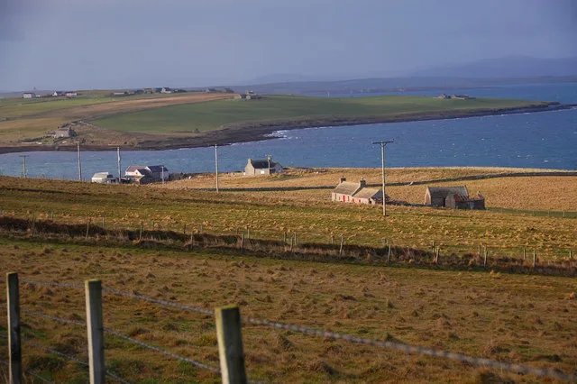
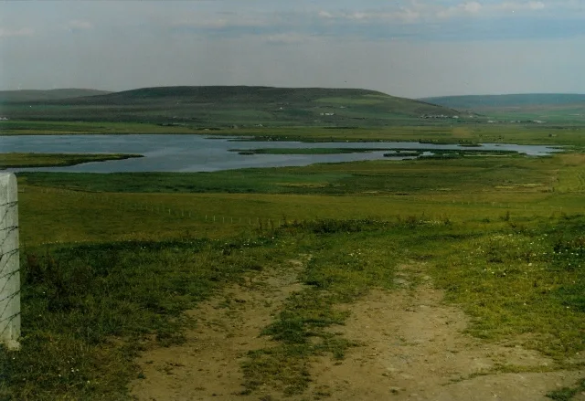
Dam of Hoxa
Dam of Hoxa — a natural feature in scotland islands.

Antony Dixon — CC BY-SA 2.0 via Wikimedia Commons licence
Plan your visit
- Typical visit
- 1 h–2 h
About
Dam of Hoxa is a named natural feature in scotland islands, recorded in the GeoNames UK gazetteer. British landmarks of this type are typically marked on Ordnance Survey maps and recorded in the national gazetteer for cartographic and navigational reference. Coordinates and feature classification are sourced from the GeoNames open dataset.
Photo gallery
Place summary
The Dam of Hoxa is a natural landmark located in the Scottish Islands. This site features a distinctive earthen dam that is integral to the local landscape. Visitors can observe the unique geological formations and the surrounding natural environment. The area is characterised by its rugged beauty and offers opportunities for exploration and appreciation of the island's natural heritage.
AI-generated from the structured facts on this page (operator, designation, listing, era). Not a substitute for visiting.
- Coordinates
- 58.8333, -2.9833
Sources
- manual: geonames-2651536 (CC BY 4.0)
Other places nearby
Loading nearby places…
Nearby
 📷 3
📷 3Mountains & hills · Scottish Islands
Dam of Hoxa
Dam of Hoxa — bay in Orkney Islands, Scotland, UK.
📷 5Natural landmarks · Scottish Islands
Gill Bay
Gill Bay — a natural feature in scotland islands.
 📷 5
📷 5Mountains & hills · Scottish Islands
Hoxa Hill
Hoxa Hill — mountain in scotland islands. Elevation: 61 m.
 📷 3
📷 3Archaeological sites · Scottish Islands
The Wart
The Wart — a archaeological in scotland-islands, United Kingdom.
📷 5Mountains & hills · Scottish Islands
Hoxa Hill
Hoxa Hill — a hill or mountain in scotland islands.
 📷 3
📷 3Archaeological sites · Scottish Islands
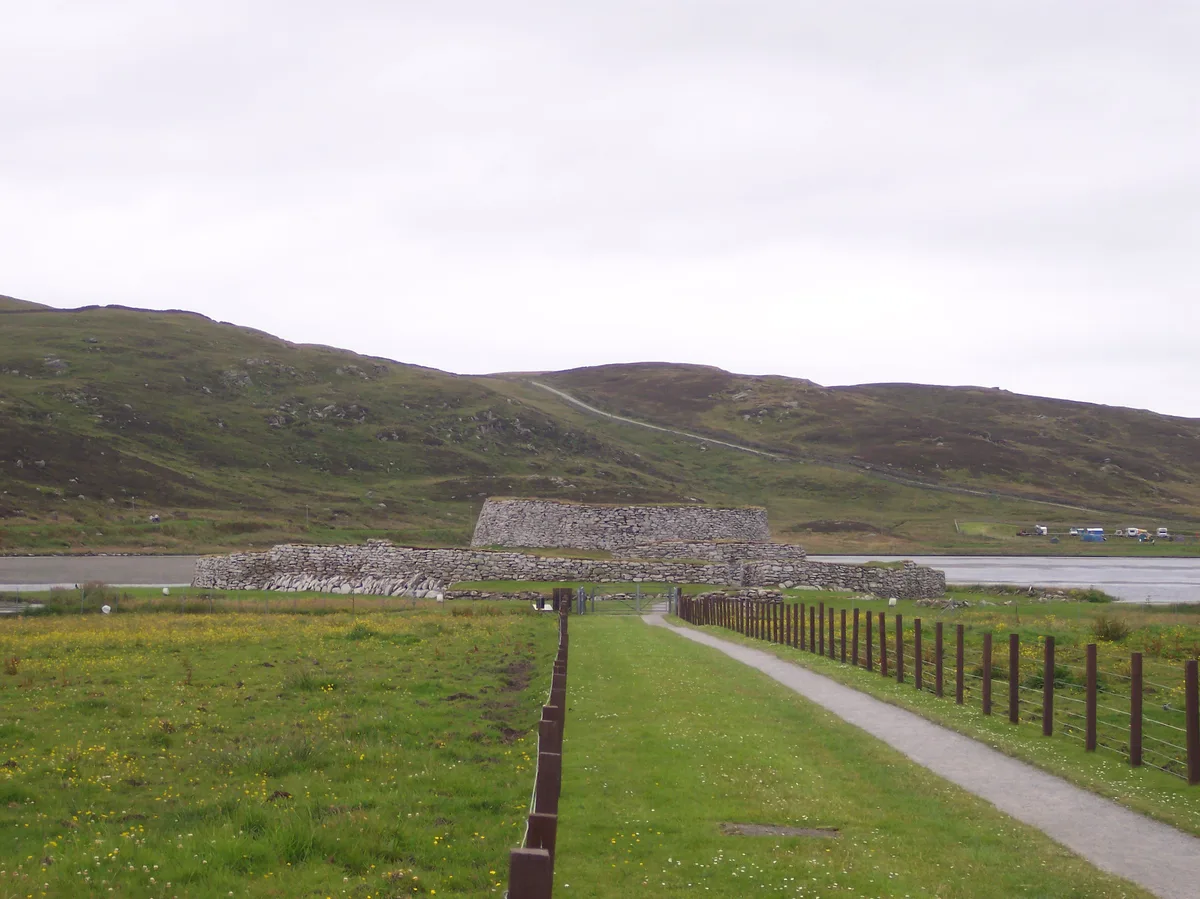
Howe of Hoxa, Broch site
Howe of Hoxa, Broch site — a archaeological in scotland-islands, United Kingdom.
Where to eat & stay near Dam of Hoxa
Places to stay
 📷 5
📷 5Hostels · Scottish Islands
Backpackers Hostel
Backpackers Hostel — a hostel in scotland islands.
 📷 5
📷 5Hotels · Scottish Islands
Sands Hotel
Sands Hotel — a hotel in scotland islands.
 📷 5
📷 5Campsites · Scottish Islands
Wheems Hostel
Wheems Hostel — a campsite in scotland islands.
📷 5Campsites · Scottish Islands
Wheems Campsite
Wheems Campsite — a campsite in scotland islands.
 📷 5
📷 5Hostels · Scottish Islands
YMCA Longhope
YMCA Longhope — a hostel in scotland islands.
 📷 5
📷 5Campsites · Scottish Islands
Informal campsite
Informal campsite — a campsite in scotland islands.
More natural landmarks in this region
 📷 5
📷 5Natural landmarks · Scottish Islands
Clickimin Loch
Clickimin Loch — freshwater lake at Lerwick, Shetland Mainland, Shetland Islands, Scotland, UK.
 📷 3
📷 3Natural landmarks · Scottish Islands
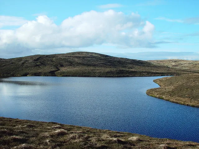
Lairo Water
Lairo Water — lake on Shapinsay, Orkney Islands, Scotland, UK.
 📷 3
📷 3Natural landmarks · Scottish Islands
Little Water
Little Water — freshwater lake on Whalsay, Shetland Islands, Scotland, UK.
 📷 3
📷 3Natural landmarks · Scottish Islands
Loch Isbister
Loch Isbister — lake in Shetland Islands, Scotland, UK.
Frequently asked questions
- Where is Dam of Hoxa?
- Dam of Hoxa is in the Scottish Islands, United Kingdom.
- What is Dam of Hoxa?
- Dam of Hoxa — a natural feature in scotland islands.
- How do I get to Dam of Hoxa?
- Its coordinates are 58.8333°, -2.9833°.