
Museums · East of England
Dacorum
In or near Ashridge.
Dacorum is a local government district with borough status in Hertfordshire, England. The council is based in Hemel Hempstead. The borough also includes the towns of Berkhamsted and Tring and surround

Graham Hale — CC BY-SA 2.0 via Wikimedia Commons licence

Plan your visit
- Typical visit
- 1.5 h–3 h
- Best time of year
- Year-round
- Nearest railway station
- Berkhamsted · 2.1 km
- Family-friendly
- Limited wheelchair access
Getting there & planning your visit
To visit Dacorum, the nearest railway station is Berkhamsted, located 2.1 km away. The postcode for sat-nav is HP4 2QF. Accessibility is limited for wheelchair users.
About
Dacorum is a local government district with borough status in Hertfordshire, England. The council is based in Hemel Hempstead. The borough also includes the towns of Berkhamsted and Tring and surrounding villages. The borough had a population of 155,081 in 2021. Dacorum was created in 1974 and is named after the medieval "hundred" (a type of county division) of Dacorum, which had covered a similar area. The borough of Dacorum is the westernmost of Hertfordshire's ten districts. It borders St Albans, Three Rivers, Buckinghamshire and Central Bedfordshire.
Photo gallery
Protected designations
- Area of Outstanding Natural Beauty: Chilterns
Designations sourced from Natural England open data under OGL v3.
From the Wikipedia article
Dacorum is a local government district with borough status in Hertfordshire, England. The council is based in Hemel Hempstead. The borough also includes the towns of Berkhamsted and Tring and surrounding villages. The borough had a population of 155,081 in 2021. Dacorum was created in 1974 and is named after the medieval "hundred" (a type of county division) of Dacorum, which had covered a similar area. The borough of Dacorum is the westernmost of Hertfordshire's ten districts. It borders St Albans, Three Rivers, Buckinghamshire and Central Bedfordshire.
Excerpt from Wikipedia under CC BY-SA 4.0. See the source article linked in Sources below.
Background
History
Dacorum was one of the hundreds of Hertfordshire. In the Domesday Book of 1086 the area was recorded as two separate hundreds: Danais (meaning "of the Danes") and Tring. The name Danais relates to a period in Saxon times when the area formed part of the Danelaw, which covered much of what is now eastern England, although the duration and extent of Danish presence in Hertfordshire remain uncertain and continue to be debated by historians. By about 1200 the two hundreds had merged into a single hundred, which from 1196 onward was increasingly recorded in Latin as Dacorum ("of the Dacians"). After the mid-13th century, Dacorum completely replaced the older names. From the seventeenth century…
Sourced from Wikipedia under CC BY-SA 4.0.
- Coordinates
- 51.7667, -0.5333
- County
- Hertfordshire
- District
- Dacorum
- Parish
- Nettleden with Potten End
- Postcode
- HP4 2QF
- Parliamentary constituency
- Harpenden and Berkhamsted
- Nearest railway station
- Berkhamsted — 2.1 km
Sources
- wikipedia: Dacorum (CC BY-SA 4.0)
Other places nearby
WW2 Anti-tank Bollards
Archaeological sites · 0.4 km

Potten End War Memorial
Memorials & monuments · 0.5 km
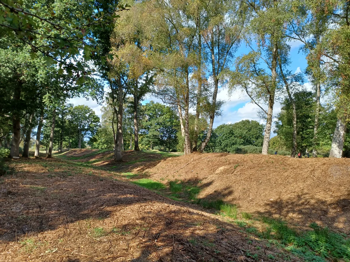
Sections of Grims Ditch
Archaeological sites · 0.7 km

Grimms Ditch
Archaeological sites · 0.9 km

Inns of Court War Memorial
Memorials & monuments · 1.1 km
War Memorial
Memorials & monuments · 1.1 km

Nettleden with Potten End Parish Burial Ground
Cemeteries · 1.3 km
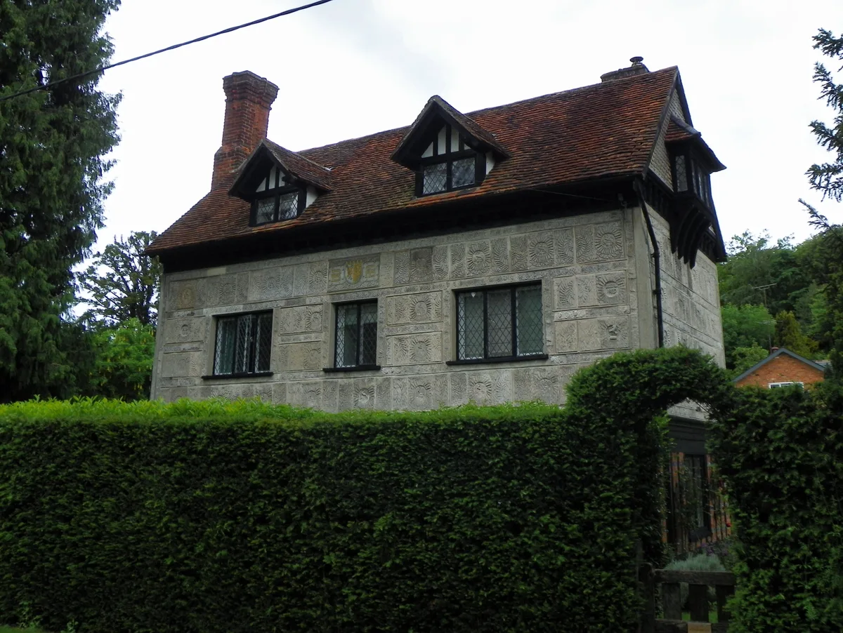
Little Manor
Stately homes · 1.3 km

War memorial at St Michael and All Angels Church, Berkhamsted
Memorials & monuments · 1.4 km

Highridge Farm Camping
Campsites · 1.7 km

Motte
Archaeological sites · 1.7 km

Berkhamsted Castle
Literary houses · 1.8 km
Nearby
📷 3Archaeological sites · East of England
WW2 Anti-tank Bollards
WW2 Anti-tank Bollards — a archaeological in england-west-midlands, United Kingdom.
📷 3Memorials & monuments · East of England
Potten End War Memorial
Potten End War Memorial — Grade II listed building-listed memorial in england-west-midlands, United Kingdom.
📷 3Archaeological sites · East of England
Sections of Grims Ditch
Sections of Grims Ditch — archaeological site in Nettleden with Potten End, Dacorum, England, UK.
📷 3Archaeological sites · East of England
Grimms Ditch
Grimms Ditch — a archaeological in england-west-midlands, United Kingdom.
📷 4Memorials & monuments · East of England
Inns of Court War Memorial
Inns of Court War Memorial — Grade II listed building-listed memorial in england-west-midlands, United Kingdom.
📷 5Memorials & monuments · East of England
War Memorial
War Memorial is a memorial in the United Kingdom.
Where to eat & stay near Dacorum
Places to stay
📷 5Campsites · East of England
Highridge Farm Camping
Highridge Farm Camping — a campsite in england west midlands.
 📷 5
📷 5Campsites · South East England
Norcott Campsite - Camping In The Orchard
Norcott Campsite - Camping In The Orchard — a campsite in england west midlands.
 📷 5
📷 5Campsites · East of England
Phasels Wood Activity Centre
Phasels Wood Activity Centre — a campsite in england london.
 📷 5
📷 5Hotels · East of England
Shendish Manor Hotel
Shendish Manor Hotel — a hotel in england london.
 📷 3
📷 3 📷 5
📷 5Places to eat & drink
 📷 5
📷 5Cafés · East of England
Fred and Ginger Coffee
Fred and Ginger Coffee — a café in england west midlands.
 📷 5
📷 5Historic pubs · East of England
The Red Lion Public House And Attached Coachhouse
The Red Lion Public House And Attached Coachhouse in England East, United Kingdom.
 📷 5
📷 5Historic pubs · East of England
Saint George And The Dragon Public House
Saint George And The Dragon Public House in England East, United Kingdom.
 📷 5
📷 5 📷 5
📷 5Historic pubs · East of England
Ye Olde Chequers Public House
Ye Olde Chequers Public House in England East, United Kingdom.
 📷 5
📷 5Historic pubs · East of England
The Valiant Trooper Public House
The Valiant Trooper Public House in England East, United Kingdom.
More museums in this region
 📷 5
📷 5Museums · East of England
American Air Museum
American Air Museum — museum at Imperial War Museum Duxford, Cambridgeshire, England, UK.
 📷 5
📷 5Museums · East of England
Ashwell Village Museum
Ashwell Village Museum — historic building museum in Ashwell, Hertfordshire, England, United Kingdom.
 📷 5
📷 5Museums · East of England
Barleylands Farm Museum
Barleylands Farm Museum — Farm museum in Billericay, England.
 📷 5
📷 5Museums · East of England
Cromwell Museum
Cromwell Museum — museum in Huntingdon, England, United Kingdom.
Frequently asked questions
- Where is Dacorum?
- Dacorum is in Hertfordshire, the West Midlands, United Kingdom (postcode HP4 2QF), in the parish of Nettleden with Potten End.
- What is Dacorum?
- Dacorum is a local government district with borough status in Hertfordshire, England. The council is based in Hemel Hempstead. The borough also includes the towns of Berkhamsted and Tring and surround
- How do I get to Dacorum?
- The nearest railway station is Berkhamsted, about 2.1 km away. Drivers can use postcode HP4 2QF.
- Who owns Dacorum?
- Dacorum is owned by Dacorum Borough Council.
- Is Dacorum a protected site?
- Yes — Dacorum is part of the Chilterns National Landscape (AONB).
- How do I get to Dacorum?
- The nearest railway station is Berkhamsted, about 2.1 km away. Drivers can navigate to postcode HP4 2QF.