Mountains & hills · Mid Wales
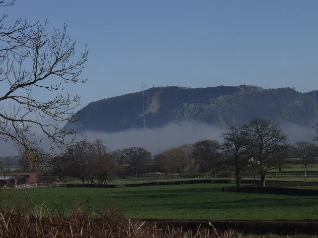
Cwmsychbant
In or near Rhuddlan.
Cwmsychbant in Wales Mid, United Kingdom.

Dylan Moore — CC BY-SA 2.0 via Wikimedia Commons licence
Plan your visit
- Typical visit
- 3 h–8 h
- Best time of year
- Late spring – early autumn (May–Oct)
- Free entry
- Dog-friendly
About
Cwmsychbant is a place of interest in Wales Mid, United Kingdom — drawn from open-data sources for visitor reference. See the linked Wikipedia article for the full description.
Photo gallery
See it from the streetimagery from 2020
Imagery © Mapillary contributors, CC BY-SA 4.0
From the Wikipedia article
Cwmsychbant is a small village in the community of Llanwenog, Ceredigion, Wales, on the A475 road. Cwmsychbant is represented in the Senedd by Elin Jones (Plaid Cymru) and the Member of Parliament is Ben Lake (Plaid Cymru).
Excerpt from Wikipedia under CC BY-SA 4.0. See the source article linked in Sources below.
- Coordinates
- 52.0924, -4.2241
- District
- Ceredigion
- Parish
- Llanwenog
- Postcode
- SA40 9XH
- Parliamentary constituency
- Ceredigion Preseli
Sources
- wikidata: Q15987289 (CC0)
- wikipedia: Cwmsychbant (CC BY-SA 4.0)
Other places nearby

St Gwenog's Church
Historic churches · 1.8 km

Nant Cledlyn Pingos
Natural landmarks · 1.9 km
Llanwenog
Historic churches · 1.9 km

Cwrt-newydd
Villages · 2.1 km

Aber
Natural landmarks · 2.2 km

Drefach
Other places · 2.5 km

Cwrtnewydd
Other places · 2.5 km

Allt Goch quarry
Quarries · 2.7 km

A475 road
Other places · 2.7 km

Bridge On N.Drive to Alltyrodyn, Capel Dewi Road, Rhydowen
Historic bridges · 3.4 km

Rhuddlan
Towns & cities · 3.4 km

Rhydowen
Historic houses · 3.4 km
Nearby
📷 4Historic churches · Mid Wales
St Gwenog's Church
St Gwenog's Church in Wales Mid, United Kingdom.
📷 2Natural landmarks · Mid Wales
Nant Cledlyn Pingos
Nant Cledlyn Pingos in Wales Mid, United Kingdom.
📷 4📷 5📷 2📷 3Where to eat & stay near Cwmsychbant
Places to stay
 📷 5
📷 5 📷 5
📷 5 📷 7
📷 7 📷 5
📷 5 📷 5
📷 5 📷 2
📷 2Campsites · Mid Wales
Liahona Gellie Camp Site
Liahona Gellie Camp Site — a campsite in wales mid.
Places to eat & drink
 📷 3
📷 3 📷 3
📷 3 📷 5
📷 5 📷 4
📷 4 📷 3
📷 3Historic pubs · Mid Wales
The Commercial Inn
The Commercial Inn — Historic pub — listed building or notable heritage status.
 📷 5
📷 5Historic pubs · Mid Wales
Penwig Hotel
Penwig Hotel — Historic pub — listed building or notable heritage status.
More mountains in this region
 📷 3
📷 3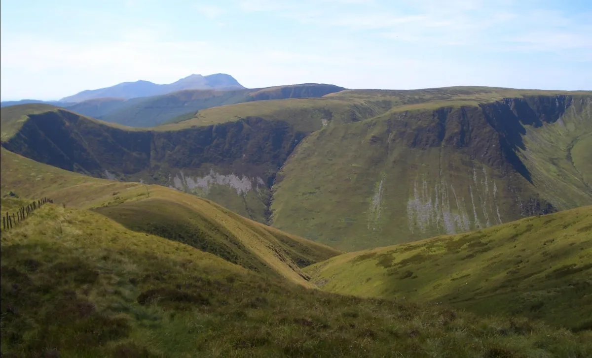 📷 3
📷 3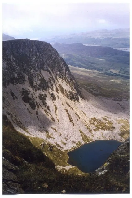 📷 3
📷 3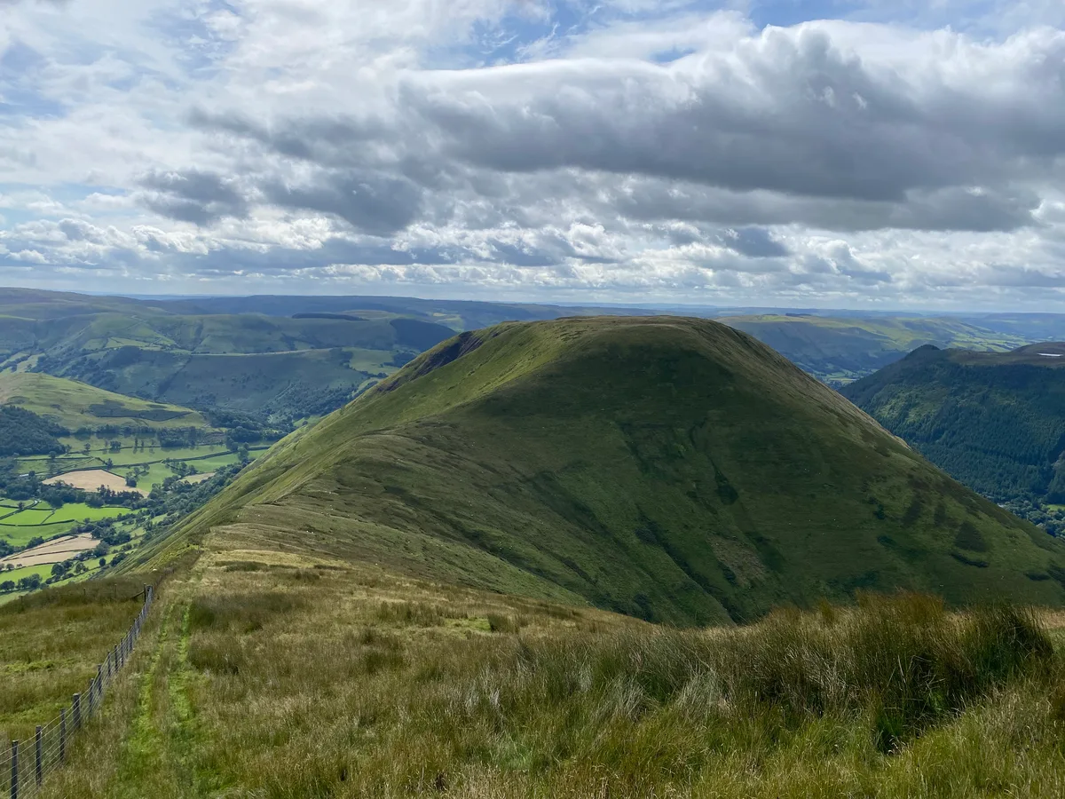 📷 3
📷 3Frequently asked questions
- Where is Cwmsychbant?
- Cwmsychbant is in Mid Wales, United Kingdom (postcode SA40 9XH), in the parish of Llanwenog.
- What is Cwmsychbant?
- Cwmsychbant in Wales Mid, United Kingdom.
- How do I get to Cwmsychbant?
- Drivers can use postcode SA40 9XH.
- Is Cwmsychbant free to visit?
- Yes, Cwmsychbant is free to enter.
- How do I get to Cwmsychbant?
- Drivers can navigate to postcode SA40 9XH. It sits within the Ceredigion Preseli parliamentary constituency.