Villages · South Wales
Cwmfelin Boeth
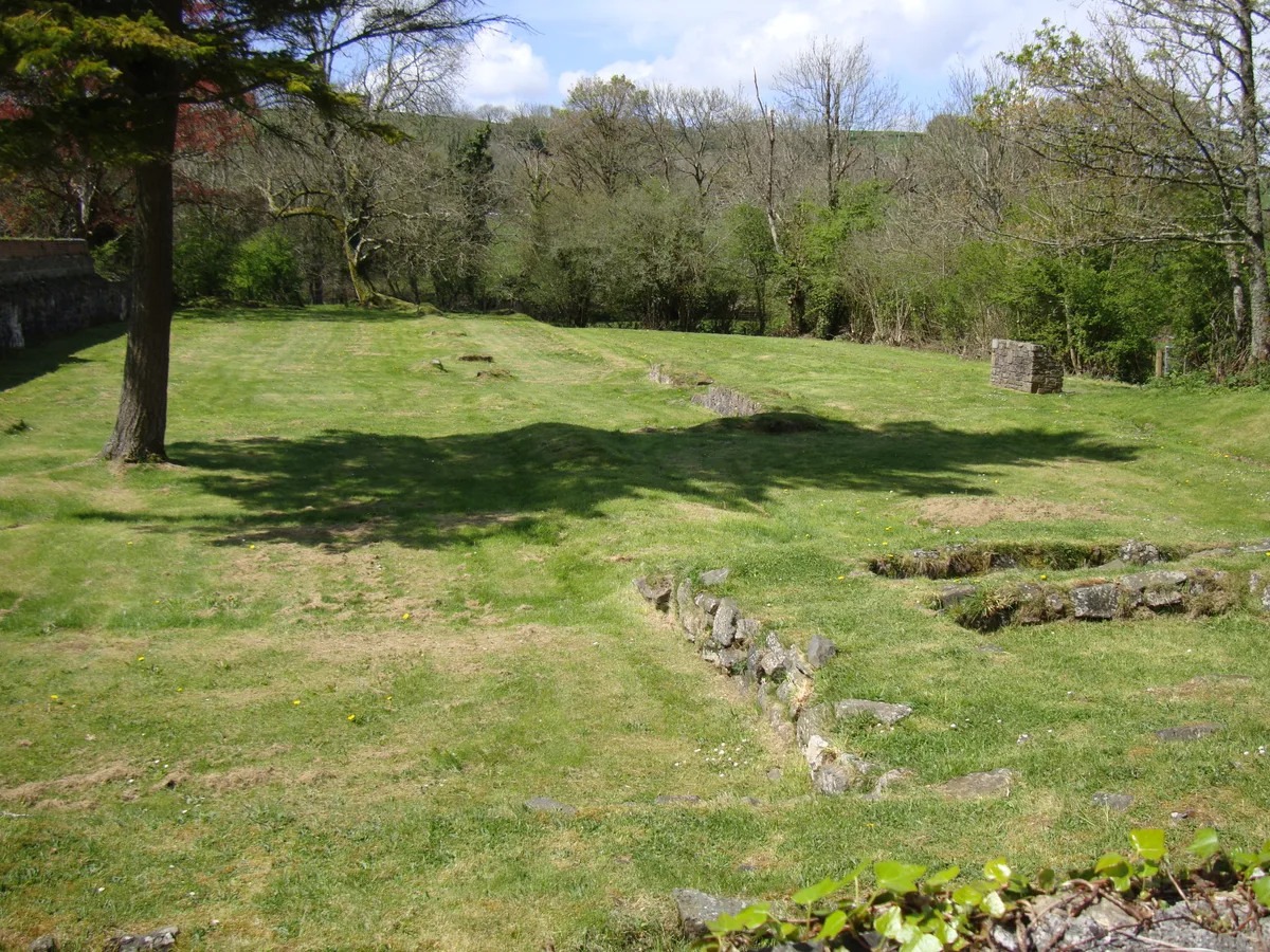
Cwmfelin Boeth — a village in wales south.

Roger W Haworth — CC BY-SA 2.0 via Wikimedia Commons licence
Plan your visit
- Typical visit
- 1 h–2 h
About
A British village — settlements of this size traditionally cluster a green, parish church, pub and post office around historic land routes.
Photo gallery
- Coordinates
- 51.8331, -4.6189
Sources
- manual: geonames-2651647 (CC BY 4.0)
Other places nearby
Loading nearby places…
Nearby
 📷 5
📷 5Mountains & hills · South Wales
Pen-cil-post
Pen-cil-post — a hill or mountain in wales south.
 📷 3
📷 3Abbeys & priories · South Wales
Whitland Abbey
Whitland Abbey is a abbey in the United Kingdom.
 Flagship📷 4
Cathedrals · South Wales
Whitland Abbey
Whitland Abbey is a cathedral in the United Kingdom.
📷 5Mountains & hills · South Wales
Pen Talfan
Pen Talfan — a hill or mountain in wales south.
 📷 5
📷 5Campsites · South Wales
Strawhill Camp Site
Strawhill Camp Site — a campsite in wales south.
 📷 5
📷 5Military museums · South Wales
Landsker Borderlands Trail
Landsker Borderlands Trail — a military museum in wales south.
More places in this region


Frequently asked questions
- Where is Cwmfelin Boeth?
- Cwmfelin Boeth is in South Wales, United Kingdom.
- What is Cwmfelin Boeth?
- Cwmfelin Boeth — a village in wales south.
- How do I get to Cwmfelin Boeth?
- Its coordinates are 51.8331°, -4.6189°.