Reservoirs & lochs · Mid Wales
Cwmdauddwr
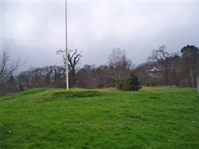
In or near Rhayader Town F.C..
Cwmdauddwr in Wales Mid, United Kingdom.

Jaggery — CC BY-SA 2.0 via Wikimedia Commons licence
Plan your visit
- Typical visit
- 1 h–2.5 h
- Free entry
- Dog-friendly
About
Cwmdauddwr is a place of interest in Wales Mid, United Kingdom — drawn from open-data sources for visitor reference. See the linked Wikipedia article for the full description.
Photo gallery
See it from the streetimagery from 2020
Imagery © Mapillary contributors, CC BY-SA 4.0
From the Wikipedia article
Cwmdauddwr (rarely referred to by its correct full name of Llansanffraid Cwmteuddwr) is a village in Powys, Wales. It is contiguous with the town of Rhayader on the opposite side of the River Wye. The village is located on the B4518 road linking Rhayader with the Elan Valley Reservoirs. Until 1983 Llansanffraid Cwmdeuddwr was a community. The parish of Cwmdauddwr corresponds approximately to the medieval commote of Cwmwd Deuddwr (Welsh for 'Commote of the Confluence'; lit. 'commote of the two waters'). It was so called because of its location where the rivers Elan and Wye join. It has also been referred to as Elenydd and Elenid. It was in the area known as Rhwng Gwy a Hafren. It was also associated with Gwrtheyrnion on the east of the Wye, together they formed a cantref. This commote should not be confused with the commote of Deuddwr in Ystlyg which is also in Powys. The village is home to a pub (The Triangle Inn), village hall and a parish church dedicated to St Bride (Welsh: Sant Ffraid). The Groe, a large park on the banks of the river, has walks, play areas and sports pitches. Rhayader railway station was situated in the village until its closure in 1963.
Excerpt from Wikipedia under CC BY-SA 4.0. See the source article linked in Sources below.
- Coordinates
- 52.2984, -3.5167
- District
- Powys
- Parish
- Rhayader
- Postcode
- LD6 5AS
- Parliamentary constituency
- Brecon, Radnor and Cwm Tawe
- Official site
- www.flickr.com
Sources
- wikidata: Q5197239 (CC0)
- wikipedia: Cwmdauddwr (CC BY-SA 4.0)
Other places nearby
Gateway
Public art & sculpture · 0.0 km

Tomen Llansantffraid
Literary houses · 0.1 km

St Bride's Church, Cwmdauddwr
Historic churches · 0.1 km

Rhayader railway station
Heritage railway stations · 0.2 km
Rhayader Castle
Castles · 0.3 km

Rhayader Rural District
Abbeys & priories · 0.4 km

Lion Royal Hotel
Hotels · 0.4 km

Crown Inn
Hotels · 0.5 km

Rhayader Town F.C.
Towns & cities · 0.5 km

Rhayader
Villages · 0.5 km

Old Swan
Historic houses · 0.5 km

Old Swan
Historic pubs · 0.5 km
Nearby
📷 3Public art & sculpture · Mid Wales
Gateway
Gateway — Public artwork (gate) by Reece Ingram.
📷 5Literary houses · Mid Wales
Tomen Llansantffraid
Tomen Llansantffraid — a literary house museum in wales mid.
📷 5Historic churches · Mid Wales
St Bride's Church, Cwmdauddwr
St Bride's Church, Cwmdauddwr — Grade II listed building-listed church in wales-mid, United Kingdom.
📷 5Heritage railway stations · Mid Wales
Rhayader railway station
Rhayader railway station in Wales Mid, United Kingdom.
📷 3📷 4Abbeys & priories · Mid Wales
Rhayader Rural District
Rhayader Rural District in Wales Mid, United Kingdom.
Where to eat & stay near Cwmdauddwr
Places to stay
📷 7📷 7 📷 5
📷 5Campsites · Mid Wales
Wyeside Caravan & Camping Park
Wyeside Caravan & Camping Park — a campsite in wales mid.
 📷 5
📷 5 📷 5
📷 5 📷 5
📷 5Caravan parks · Mid Wales
Doldowlod Static Caravan Park
Doldowlod Static Caravan Park — a caravan park in wales mid.
Places to eat & drink
📷 5 📷 7
📷 7 📷 4
📷 4More places in this region
 📷 3
📷 3Reservoirs & lochs · Mid Wales
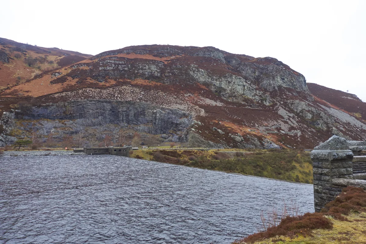
Caban-côch Reservoir
Caban-côch Reservoir — reservoir in Powys, Wales, UK.
 📷 3
📷 3Reservoirs & lochs · Mid Wales
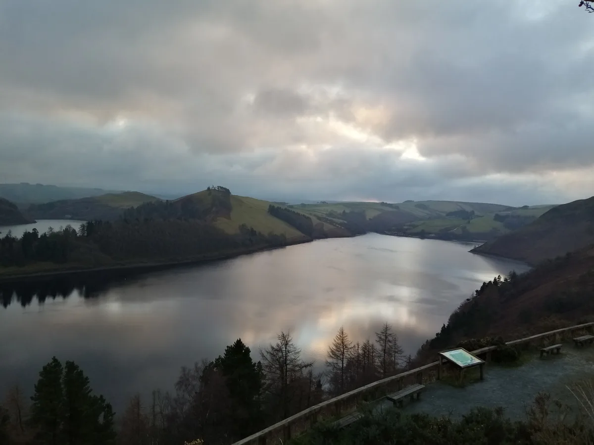
Claerwen Reservoir
Claerwen Reservoir — reservoir in Powys, Wales.
 📷 5
📷 5Reservoirs & lochs · Mid Wales
Clywedog Reservoir
Clywedog Reservoir — reservoir in Powys, Wales, UK.
 📷 3
📷 3Reservoirs & lochs · Mid Wales
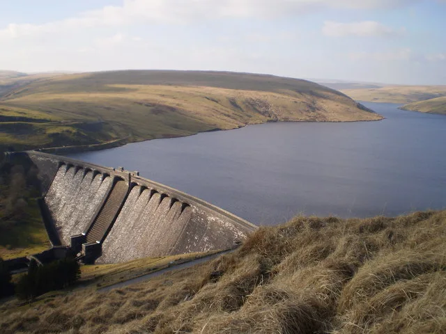
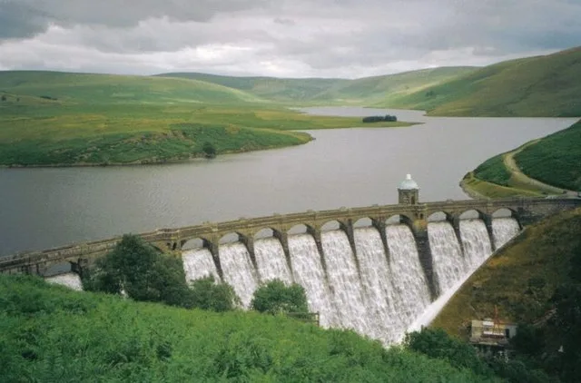
Craig Goch Reservoir
Craig Goch Reservoir — reservoir near Rhayader, Powys, Wales, UK.
Frequently asked questions
- Where is Cwmdauddwr?
- Cwmdauddwr is in Mid Wales, United Kingdom (postcode LD6 5AS), in the parish of Rhayader.
- What is Cwmdauddwr?
- Cwmdauddwr in Wales Mid, United Kingdom.
- How do I get to Cwmdauddwr?
- Drivers can use postcode LD6 5AS.
- Is Cwmdauddwr free to visit?
- Yes, Cwmdauddwr is free to enter.
- How do I get to Cwmdauddwr?
- Drivers can navigate to postcode LD6 5AS. It sits within the Brecon, Radnor and Cwm Tawe parliamentary constituency.