
Gardens · East of England
Cupola House
In or near Fornham St Martin.
Cupola House — a garden in england-east, United Kingdom.

Keith Evans — CC BY-SA 2.0 via Wikimedia Commons licence

Plan your visit
- Typical visit
- 1 h–2.5 h
- Best time of year
- Spring & summer (Apr–Sep)
- Nearest railway station
- Bury St Edmunds · 0.9 km
- Free entry
- Dog-friendly
About
Cupola House is a garden of interest in england-east, United Kingdom — drawn from open-data sources for visitor reference. See the linked Wikipedia article for the full description.
Photo gallery
See it from the streetimagery from 2024
Imagery © Mapillary contributors, CC BY-SA 4.0
Official information
Moyse's Hall Museum is a historic venue located in Bury St Edmunds, showcasing a variety of collections that explore local history, art, and significant events such as crime and punishment. Visitors can enjoy exhibitions, themed events, and a glimpse into the town's past through its displays.
From the Wikipedia article
Cupola House is a building in Bury St Edmunds, Suffolk, England. It dates from the 17th century, and was restored after a serious fire in 2012. It is a Grade II listed building.
Excerpt from Wikipedia under CC BY-SA 4.0. See the source article linked in Sources below.
Background
History
The building, on The Traverse, has three storeys, an attic and cellars. It was originally two timber-framed properties, converted during the 17th century by Thomas Macro, a prosperous apothecary, into a ground-floor shop with a dwelling above. It remained in the family until the mid 18th century, afterwards having a succession of owners. In the early 20th century it was owned by Clarke's Brewery, which amalgamated in 1917 with Greene King. They retained the property until 2002. It was renovated and restored in 2004, and was opened as a restaurant.
Sourced from Wikipedia under CC BY-SA 4.0.
- Coordinates
- 52.2454, 0.7126
- County
- Suffolk
- District
- West Suffolk
- Parish
- Bury St Edmunds
- Postcode
- IP33 1DX
- Parliamentary constituency
- Bury St Edmunds and Stowmarket
- Phone
- 01284 706183
- Nearest railway station
- Bury St Edmunds — 0.9 km
- Opening
- Mondays to Saturdays 10am-5pm; Sundays 10am-4pm; closed Good Friday, Easter Sunday and Monday
- Official site
- www.moyseshall.org
Sources
- wikidata: Q17526582 (CC0)
- wikipedia: Cupola House, Bury St Edmunds (CC BY-SA 4.0)
Other places nearby

Bury St Edmunds
Museums · 0.0 km

Market Cross
Open-air theatres · 0.1 km

The Nutshell
Historic houses · 0.1 km

The Nutshell
Historic pubs · 0.1 km

Bury St. Edmunds Boer War Memorial
Memorials & monuments · 0.1 km

Moyse's Hall
Museums · 0.1 km
Moyse's Hall Museum
Museums · 0.1 km

Abbeygate Picturehouse
Theatres · 0.2 km
_(geograph_6674656).jpg?width=1200)
Langton House
Historic houses · 0.2 km

The Evidence Room
Escape rooms · 0.2 km

The VR Sphere
Escape rooms · 0.2 km

James Oakes
Memorials & monuments · 0.2 km
Nearby
📷 5Museums · East of England
Bury St Edmunds
Bury St Edmunds (), commonly referred to locally as Bury, is a cathedral as well as market town and civil parish in the West Suffolk district, in the county of Suffolk, England. The town is best known
📷 5📷 5Historic houses · East of England
The Nutshell
The Nutshell — a Grade II*-listed historic house in england-east, United Kingdom.
📷 7Historic pubs · East of England
The Nutshell
The Nutshell in England East, United Kingdom.
📷 3Memorials & monuments · East of England
Bury St. Edmunds Boer War Memorial
Bury St. Edmunds Boer War Memorial — Grade II listed building-listed memorial in england-east, United Kingdom.
📷 5Museums · East of England
Moyse's Hall
Moyse's Hall — a Grade I-listed museum in england-east, United Kingdom.
Where to eat & stay near Cupola House
Places to stay
 📷 5
📷 5Hotels · East of England
Angel Hotel
Angel Hotel — a hotel in england east.
 📷 7
📷 7Hotels · East of England
Chantry Hotel
Chantry Hotel — a hotel in england east.
 📷 5
📷 5Hotels · East of England
Dragonfly Hotel
Dragonfly Hotel — a hotel in england east.
 📷 7
📷 7 📷 5
📷 5 📷 5
📷 5Caravan parks · East of England
Bright Meadow Caravan Park
Bright Meadow Caravan Park — a caravan park in england east.
Places to eat & drink
📷 7Historic pubs · East of England
The Nutshell
The Nutshell in England East, United Kingdom.
 📷 7
📷 7Historic pubs · East of England
The Market Tavern Public House
The Market Tavern Public House in England East, United Kingdom.
 📷 7
📷 7Restaurants · East of England
Cheers
Cheers — a restaurant in england east.
 📷 5
📷 5Historic pubs · East of England
The Rising Sun Public House
The Rising Sun Public House in England East, United Kingdom.
 📷 6
📷 6Historic pubs · East of England
The Bushel Public House
The Bushel Public House in England East, United Kingdom.
 📷 5
📷 5Historic pubs · East of England
The Elephant And Castle Public House
The Elephant And Castle Public House in England East, United Kingdom.
More gardens in this region
 Flagship📷 10
Gardens · East of England
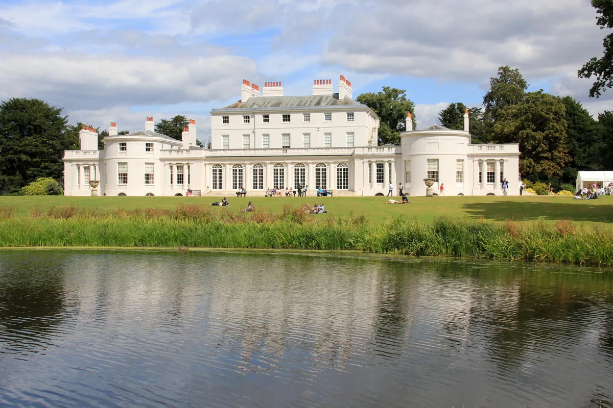
Frogmore Estate
Frogmore Estate — private gardens within the grounds of the Home Park, adjoining Windsor Castle in Berkshire, England, UK.
 Flagship📷 10
Gardens · East of England
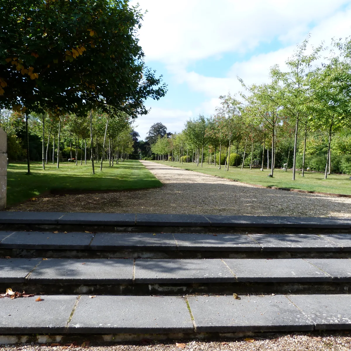
Stoke Poges Memorial Gardens
Stoke Poges Memorial Gardens — garden in Stoke Poges, Buckinghamshire, England, UK.
.jpg?width=1200) 📷 5
📷 5Gardens · East of England
Benington Lordship
Benington Lordship — country house in Hertfordshire, England, UK.
 📷 5
📷 5Gardens · East of England
Broadway
Broadway — road and green space in Letchworth, Hertfordshire, England, UK.
Frequently asked questions
- Where is Cupola House?
- Cupola House is in Suffolk, East of England, United Kingdom (postcode IP33 1DX), in the parish of Bury St Edmunds.
- What is Cupola House?
- Cupola House — a garden in england-east, United Kingdom.
- How do I get to Cupola House?
- The nearest railway station is Bury St Edmunds, about 0.9 km away. Drivers can use postcode IP33 1DX.
- How do I get to Cupola House?
- The nearest railway station is Bury St Edmunds, about 0.9 km away. Drivers can navigate to postcode IP33 1DX.