Forests & woodlands · West Midlands
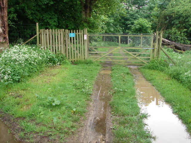
Cumnor Hurst Community Woodland
In or near Boars Hill.
Cumnor Hurst Community Woodland is a forest or woodland in the United Kingdom.
About
Cumnor Hurst Community Woodland is a forest or woodland located in the United Kingdom. Coordinates: 51.7336°, -1.3170°. Sources are credited at the bottom of this page.
- Coordinates
- 51.7336, -1.3170
- Official site
- www.ocv.org.uk
Sources
- osm: w793018612 (ODbL)
Nearby

Towns & cities · West Midlands
Boars Hill
Boars Hill — village in Oxfordshire, United Kingdom.
Viewpoints · West Midlands
Eye-wash Hill
Eye-wash Hill is a viewpoint in the United Kingdom.
Parks · West Midlands
Raleigh Park, Oxfordshire
Raleigh Park, Oxfordshire — park in Oxfordshire, England.

Towns & cities · West Midlands
Wootton
Wootton — village and civil parish in Vale of White Horse, Oxfordshire, England.
Archaeological sites · West Midlands
Seacourt
Seacourt — deserted medieval village in Oxfordshire, England, UK.

Cathedrals · West Midlands
Osney Abbey
Osney Abbey — house of Augustinian canons at Osney in Oxfordshire, England, UK.