
Hill forts · Scottish Highlands
Cullerlie stone circle
In or near Drumoak.
Cullerlie stone circle — stone circle in Aberdeenshire, Scotland, UK.

Wikimedia Commons contributors — see linked file page for photographer and licence licence

Plan your visit
- Typical visit
- 1 h–2 h
- Nearest railway station
- Milton of Crathes · 9.2 km
- Free entry
- Dog-friendly
Getting there & planning your visit
To visit Cullerlie stone circle, the nearest railway station is Milton of Crathes, located 9.2 km away. The postcode for sat-nav is AB32 6UX, and entry is free. Accessibility information is not provided.
About
Cullerlie stone circle is a hill fort in the United Kingdom. Heritage designation: scheduled monument. Wikidata describes it as: "stone circle in Aberdeenshire, Scotland, UK". Coordinates: 57.1289°, -2.3566°.
Photo gallery
From Historic Environment Scotland
Roam among the stones of Cullerlie Stone Circle, a cremation site dating back 4,000 years. Visit the site today or contact Historic Environment Scotland for more information.
Read more on the official property page.
From the Wikipedia article
Cullerlie stone circle, also known as the Standing Stones of Echt, is a small stone circle situated near Echt, Aberdeenshire. It consists of eight irregular stones of red granite arranged at approximately equal intervals to form a circle of 10.2 m (33 ft) diameter, enclosing the same number of small cairns. The cairns are characterised by outer kerbs or rings of stones, with a double ring surrounding the central cairn and a single ring in the others. All but one of the cairns have eleven ringstones, with the last having nine. The whole circle sits on a patch of gravel which forms the end of a low gravel ridge linking the site with Leuchar Moss. It is regarded as "a later development from the recumbent stone circle", though its layout with kerbed cairns within the circle makes it unique. At the time that the circle was built in the second millennium BC, the surrounding landscape was characterised by wet bogs, and the stones were transported to the site from higher ground some distance away. The tallest of the stones marks the north side of the circle. They vary in height from 1.09 m (3.6 ft) to 1.80 m (5.9 ft). A 2004 survey of the site discovered that several of the stones had been carved with previously unnoticed cup marks. Excavations carried out in 1934 by H. E. Kilbride-Jones on behalf of the Ministry of Works, showed that the circle was built in stages. The entire site had first been cleared, leveled and burned by setting fire to piles of willow twigs. Then came the outer stones, with their bases shaped into points to make them more stable in their gravel bed. They have been somewhat eroded over time by acidic peat eating away the lower portions of the stones. Oak and hazel were burned within the stone rings, leaving charcoal behind, and cremated human bones were deposited in the ashes within five of the rings. They were then filled with smaller stones to create the cairns visible today. The circle may once have had several companions. In 1820 James Logan…
Excerpt from Wikipedia under CC BY-SA 4.0. See the source article linked in Sources below.
- Coordinates
- 57.1289, -2.3566
- District
- Aberdeenshire
- Postcode
- AB32 6UX
- Parliamentary constituency
- West Aberdeenshire and Kincardine
- Nearest railway station
- Milton of Crathes — 9.2 km
- Opening
- Open all year round
- Official site
- www.historicenvironment.scot
Sources
- wikidata: Q202134 (CC0)
- wikipedia: Cullerlie stone circle (CC BY-SA 4.0)
- commons: Cullerlie-Circle.jpg (CC BY-SA 4.0)
Other places nearby

Garlogie
Villages · 1.1 km

Loch of Skene
Lakes · 2.4 km

Unfinished Reform Act Memorial
Memorials & monuments · 3.0 km

Bridge, Gormack Burn, Milton of Drum
Historic bridges · 3.0 km

Loch of Skene
Reservoirs & lochs · 3.2 km

Skene War Memorial
Memorials & monuments · 3.8 km
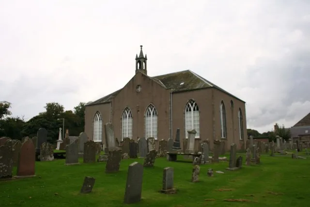
Kirkton of Skene
Historic churches · 3.8 km

Drum Castle Rose Garden
Castles · 3.9 km

Cowie Hill Stone
Archaeological sites · 3.9 km

Drum Castle Picnic Site
Castles · 3.9 km
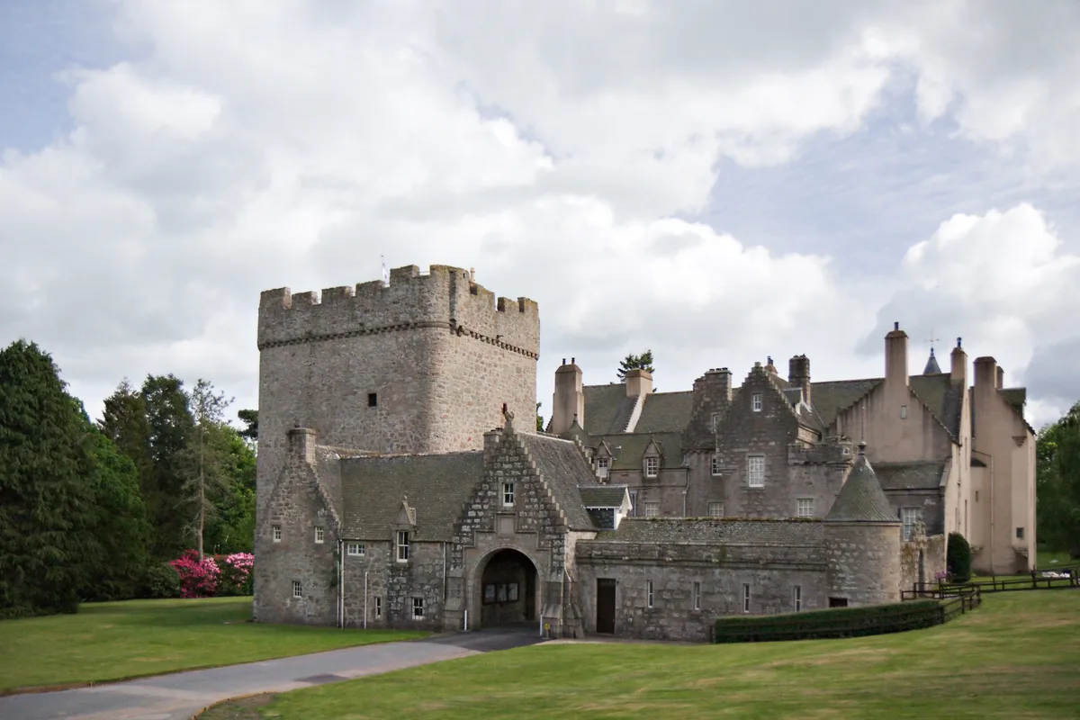
Drum Castle
Castles · 3.9 km

Chapel, Drum Castle
Chapels · 4.0 km
Nearby
📷 5📷 5📷 3Memorials & monuments · Scottish Highlands
Unfinished Reform Act Memorial
Unfinished Reform Act Memorial — a memorial in scotland-highlands, United Kingdom.
📷 5Historic bridges · Scottish Highlands
Bridge, Gormack Burn, Milton of Drum
Bridge, Gormack Burn, Milton of Drum — category C listed building-listed bridge in scotland-highlands, United Kingdom.
📷 3Reservoirs & lochs · Scottish Highlands
Loch of Skene
Loch of Skene — lake dammed as a reservoir in Aberdeenshire, Scotland, UK, outflows south to Leuchar Burn.
📷 3Memorials & monuments · Scottish Highlands
Skene War Memorial
Skene War Memorial — a memorial in scotland-highlands, United Kingdom.
Where to eat & stay near Cullerlie stone circle
Places to stay
 📷 5
📷 5Hotels · Scottish Highlands
Maryculter House Hotel
Maryculter House Hotel — a hotel in scotland highlands.
 📷 5
📷 5Caravan parks · Scottish Highlands
Deeside Holiday Park
Deeside Holiday Park — a caravan park in scotland highlands.
 📷 7
📷 7Hotels · Scottish Highlands
Village Hotel Club
Village Hotel Club — a hotel in scotland highlands.
 📷 5
📷 5Caravan parks · Scottish Highlands
Silverbank Caravan Club Site
Silverbank Caravan Club Site — a caravan park in scotland highlands.
 📷 7
📷 7Hotels · Scottish Highlands
Hampton by Hilton Aberdeen Airport
Hampton by Hilton Aberdeen Airport — a hotel in scotland highlands. 3.5-star. Brand: Hampton.
 📷 5
📷 5Hotels · Scottish Highlands
Hilton Aberdeen TECA
Hilton Aberdeen TECA — a hotel in scotland highlands.
Places to eat & drink
 📷 5
📷 5Historic pubs · Scottish Highlands
Lairhillock Inn
Lairhillock Inn in Scotland Highlands, United Kingdom.
 📷 7
📷 7Historic pubs · Scottish Highlands
Burnett Arms Hotel, High Street, Banchory
Burnett Arms Hotel, High Street, Banchory in Scotland Highlands, United Kingdom.
 📷 5
📷 5Historic pubs · Scottish Highlands
Public House, Alford Place, Aberdeen
Public House, Alford Place, Aberdeen in Scotland Highlands, United Kingdom.
 📷 7
📷 7Historic pubs · Scottish Highlands
Grant Arms Hotel, The Square, Monymusk
Grant Arms Hotel, The Square, Monymusk in Scotland Highlands, United Kingdom.
 📷 5
📷 5Historic pubs · Scottish Highlands
10 Bon-accord Square, Aberdeen
10 Bon-accord Square, Aberdeen in Scotland Highlands, United Kingdom.
 📷 5
📷 5Historic pubs · Scottish Highlands
3 Golden Square, Aberdeen
3 Golden Square, Aberdeen in Scotland Highlands, United Kingdom.
More places in this region
 📷 3
📷 3Hill forts · Scottish Highlands
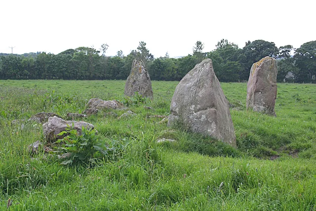
Aquhorthies stone circle
Aquhorthies stone circle — architectural structure in Aberdeenshire, Scotland, UK.
 📷 3
📷 3Hill forts · Scottish Highlands
Auchinhove
Auchinhove — archaeological site in Moray, Scotland, UK.
 📷 3
📷 3Hill forts · Scottish Highlands
Balbridie
Balbridie — Neolithic timber hall remains in Aberdeenshire, Scotland, UK.
 📷 3
📷 3Hill forts · Scottish Highlands
Balnageith Farmhouse
Balnageith Farmhouse — archaeological site in Moray, Scotland, UK.
Frequently asked questions
- Where is Cullerlie stone circle?
- Cullerlie stone circle is in the Scottish Highlands, United Kingdom (postcode AB32 6UX).
- What is Cullerlie stone circle?
- Cullerlie stone circle — stone circle in Aberdeenshire, Scotland, UK.
- How do I get to Cullerlie stone circle?
- The nearest railway station is Milton of Crathes, about 9.2 km away. The nearest town is Drumoak. Drivers can use postcode AB32 6UX.
- Is Cullerlie stone circle a listed building?
- Cullerlie stone circle is officially recognised as scheduled monument listed.
- Is Cullerlie stone circle free to visit?
- Yes, Cullerlie stone circle is free to enter.
- How do I get to Cullerlie stone circle?
- Drivers can navigate to postcode AB32 6UX. It sits within the West Aberdeenshire and Kincardine parliamentary constituency.