
Natural landmarks · North West England
Crummock Water
In or near Buttermere.
Crummock Water — lake in the Lake District in Cumbria, North West England.

Wikimedia Commons contributors — see linked file page for photographer and licence licence

Plan your visit
- Typical visit
- 1 h–2 h
- Free entry
- Dog-friendly
About
Crummock Water is a named natural landmark in the United Kingdom. Wikidata describes it as: "lake in the Lake District in Cumbria, North West England". Coordinates: 54.5500°, -3.3000°.
Photo gallery
Protected designations
- Site of Special Scientific Interest: River Derwent and Tributaries SSSI
- Site of Special Scientific Interest: Buttermere Fells SSSI
Designations sourced from Natural England open data under OGL v3.
From the Wikipedia article
Crummock Water is a lake in the Lake District in North West England. It is 2.5 miles (4.0 km) long, 0.6 miles (0.97 km) wide, 140 feet (43 m) deep, and has an area of 2.5 square kilometres (0.97 sq mi). The lake's primary inflow is Buttermere Dubs, itself the outflow of Buttermere, and its outflow is the River Cocker, which meets the River Derwent at Cockermouth before entering the Irish Sea at Workington. It is in the unitary authority of Cumberland and the ceremonial county of Cumbria. It is in the parish of Buttermere, and its western shore forms part of the western boundary of the parish.
Excerpt from Wikipedia under CC BY-SA 4.0. See the source article linked in Sources below.
Background
History
Water from the lake was treated at Cornhow water treatment works, near Loweswater, and was distributed to the towns of Silloth-on-Solway, Maryport, Workington, and many smaller towns, villages, and hamlets in the surrounding area for drinking and all other uses. This use ceased in October 2022 with the commissioning of the United Utilities pipeline to bring supply from Thirlmere. Crummock Water gained attention in 1988 when the body of Sheena Owlett was found in the lake. It later transpired she had been murdered in Wetherby, West Yorkshire.
Sourced from Wikipedia under CC BY-SA 4.0.
- Coordinates
- 54.5500, -3.3000
- District
- Cumberland
- Parish
- Buttermere
- Postcode
- CA13 9FG
- Parliamentary constituency
- Penrith and Solway
Sources
- wikidata: Q649301 (CC0)
- wikipedia: Crummock Water (CC BY-SA 4.0)
- commons: Crummock Water Red Pike High Stile.jpg (CC BY-SA 4.0)
Other places nearby
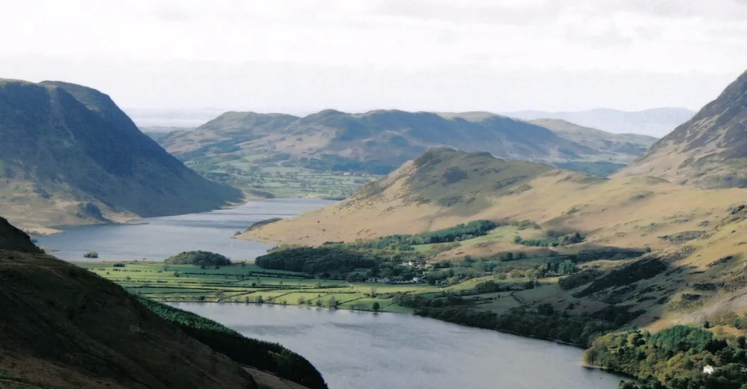
Rannerdale Knotts
Natural landmarks · 0.7 km
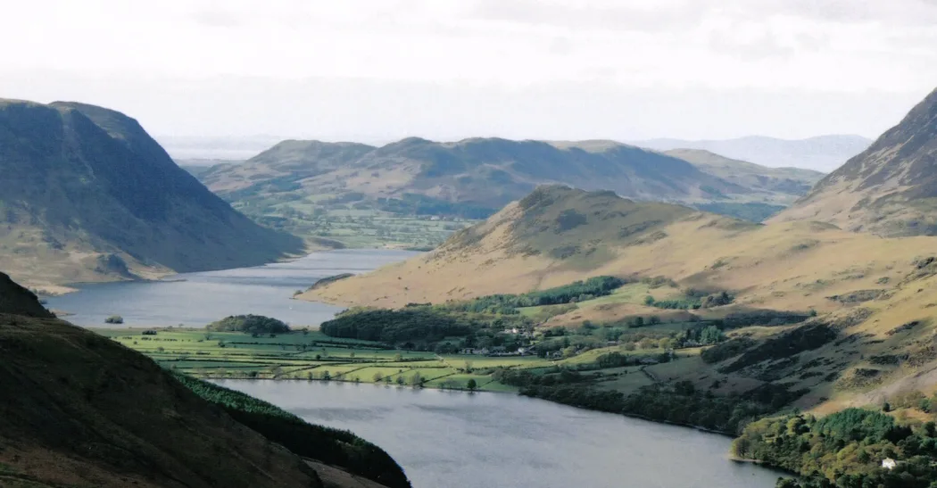
Rannerdale Knotts
Mountains & hills · 0.8 km

Scale Force
Caves · 1.2 km

Scale Force
Waterfalls · 1.3 km
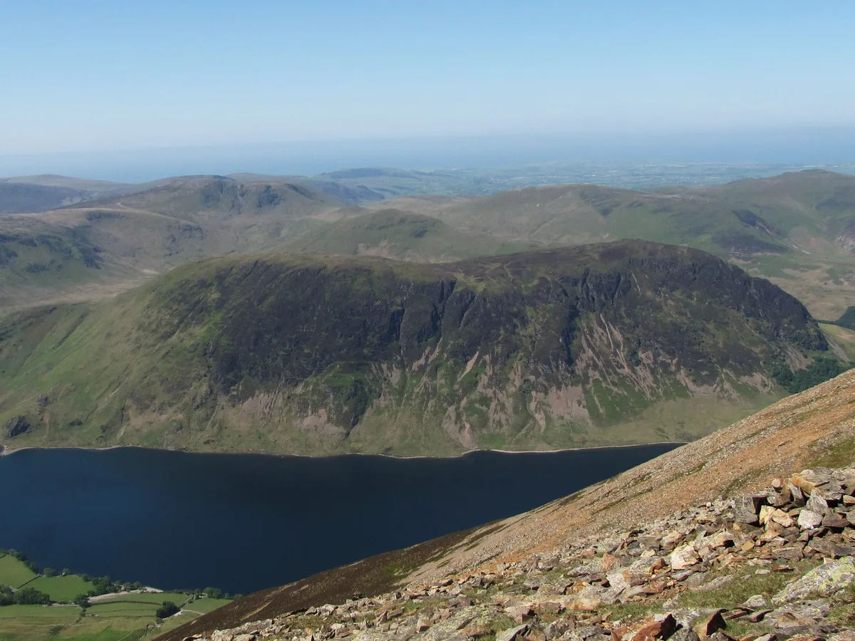
Mellbreak
Mountains & hills · 1.3 km
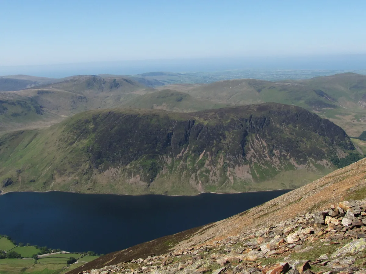
Mellbreak
Natural landmarks · 1.4 km

Syke Farm Campsite
Campsites · 1.6 km

Buttermere
Towns & cities · 1.8 km

The Lone Tree Buttermere
Natural landmarks · 2.2 km
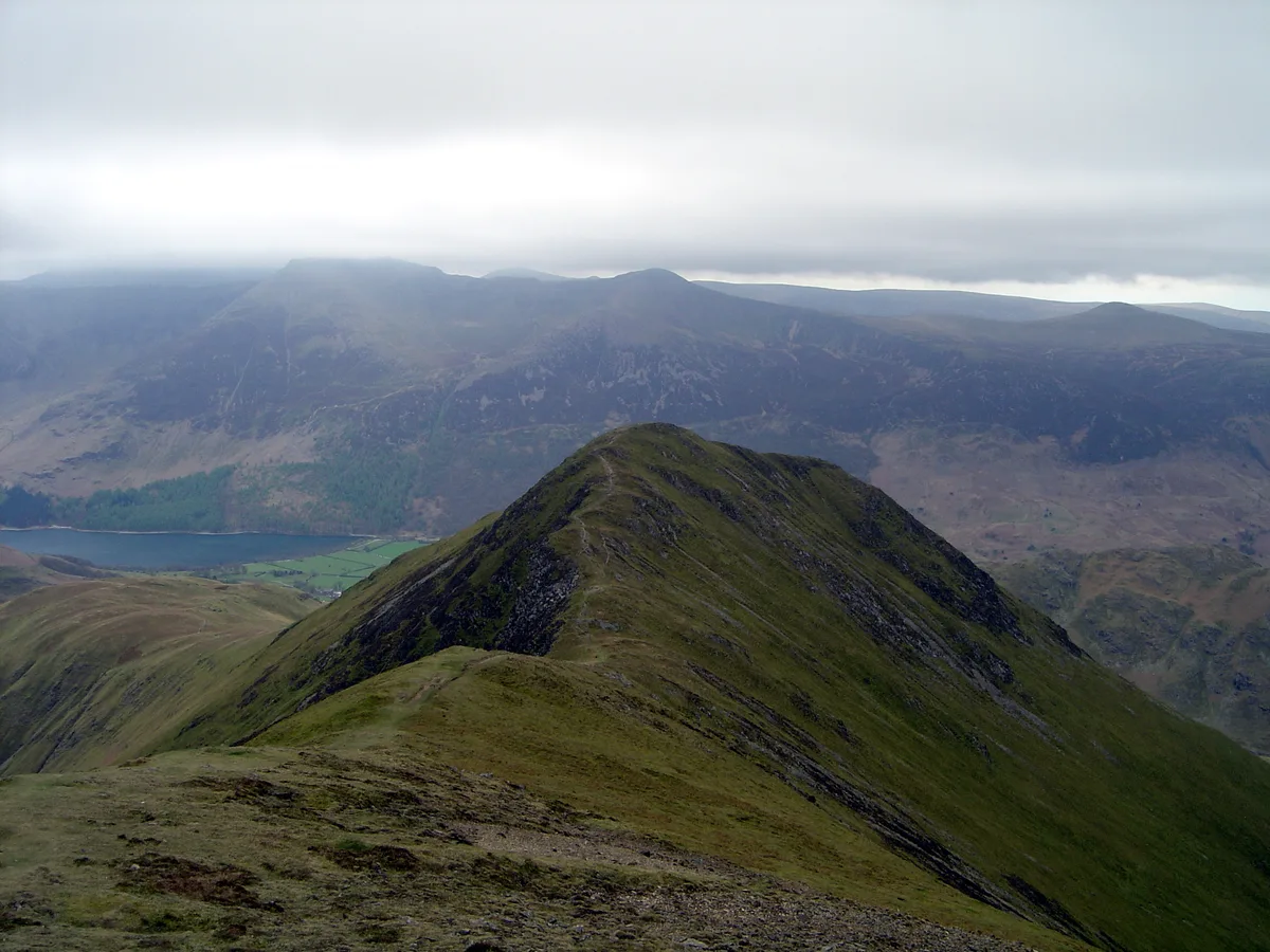
Whiteless Pike
Mountains & hills · 2.2 km

Dodd
Mountains & hills · 2.2 km

Mellbreak North Top
Mountains & hills · 2.3 km
Nearby
📷 3Natural landmarks · North West England
Rannerdale Knotts
Rannerdale Knotts — mountain in United Kingdom.
📷 3Mountains & hills · North West England
Rannerdale Knotts
Rannerdale Knotts — Named summit at 355 m.
📷 4Caves · North West England
Scale Force
Scale Force is considered the highest waterfall in the English Lake District. Opinions vary about how its precise height is calculated, but the total height is normally stated as 170 feet (51.8m). It
📷 5📷 3📷 3Where to eat & stay near Crummock Water
Places to stay
📷 5Campsites · North West England
Syke Farm Campsite
Syke Farm Campsite — a campsite in england north east.
 📷 5
📷 5Campsites · North West England
Dalegarth Guest House Camp Site
Dalegarth Guest House Camp Site — a campsite in england north east.
 📷 5
📷 5 📷 5
📷 5Hostels · North West England
Swallow Barn
Swallow Barn — a hostel in england north east.
 📷 5
📷 5Hostels · North West England
YHA Black Sail
YHA Black Sail — a hostel in england north east.
 📷 5
📷 5Caravan parks · North West England
Whinfell Caravan Park
Whinfell Caravan Park — a caravan park in scotland lowlands.
Places to eat & drink
 📷 7
📷 7Cafés · North West England
Grange Bridge Cottage
Grange Bridge Cottage — a café in england north east.
 📷 5
📷 5 📷 7
📷 7Historic pubs · North West England
The Pheasant Inn
The Pheasant Inn in Scotland Lowlands, United Kingdom.
 📷 5
📷 5Historic pubs · North West England
Fox and Grapes
Fox and Grapes in England North West, United Kingdom.
 📷 7
📷 7Historic pubs · North West England
The Travellers Rest
The Travellers Rest in England North West, United Kingdom.
More natural landmarks in this region
 📷 3
📷 3Natural landmarks · North West England
Statue of Oliver Cromwell
Statue of Oliver Cromwell — Public artwork (statue).
 📷 3
📷 3Natural landmarks · North West England
Dagfields Craft Centre
Dagfields Craft Centre — a other in england-west-midlands, United Kingdom.
 📷 3
📷 3Natural landmarks · North West England
Weaver Valley Cruises
Weaver Valley Cruises — a other in england-west-midlands, United Kingdom.
 📷 3
📷 3Natural landmarks · North West England
Golden Gates
Golden Gates — a other in england-west-midlands, United Kingdom.
Frequently asked questions
- Where is Crummock Water?
- Crummock Water is in North-East England, United Kingdom (postcode CA13 9FG), in the parish of Buttermere.
- What is Crummock Water?
- Crummock Water — lake in the Lake District in Cumbria, North West England.
- How do I get to Crummock Water?
- Drivers can use postcode CA13 9FG.
- Is Crummock Water a protected site?
- Yes — Crummock Water is part of the River Derwent and Tributaries SSSI Site of Special Scientific Interest and the Buttermere Fells SSSI Site of Special Scientific Interest.
- Is Crummock Water free to visit?
- Yes, Crummock Water is free to enter.
- How do I get to Crummock Water?
- Drivers can navigate to postcode CA13 9FG. It sits within the Penrith and Solway parliamentary constituency.