
Canals · London
Croydon Canal
In or near Shortlands.
Croydon Canal — former canal in Surrey.

Wikimedia Commons contributors — see linked file page for photographer and licence licence

Plan your visit
- Typical visit
- 1 h–2 h
- Nearest railway station
- Anerley · 0.3 km
- Free entry
- Dog-friendly
Getting there & planning your visit
To visit Croydon Canal, the nearest railway station is Anerley, located 0.3 km away. Entry is free, and the postcode for sat-nav is SE20 8TR.
About
Croydon Canal is a canal in the United Kingdom. Wikidata describes it as: "former canal in Surrey". Coordinates: 51.4098°, -0.0657°.
Photo gallery
From the Wikipedia article
The Croydon Canal ran 9+1⁄4 miles (15 km) from Croydon, via Forest Hill, to the Grand Surrey Canal at New Cross in south London, England. It opened in 1809 and closed in 1836, the first canal to be abandoned by an act of Parliament. Authorised in 1801, the canal was originally intended to extend northwards to Rotherhithe, but the simultaneous construction of the Grand Surrey Canal provided a convenient access route. It was 9+1⁄4 miles (15 km) long, and opened on 22 October 1809. The Croydon Canal linked to the Croydon, Merstham and Godstone Railway (itself connected to the Surrey Iron Railway), enabling the canal to be used to transport stone and lime from workings at Merstham. The canal was never extended further south-west, as was initially intended, to reach Epsom. The canal was originally planned with two inclined planes but 28 locks, arranged in two flights, were used instead. To keep the canal supplied with water, reservoirs were constructed at Sydenham and South Norwood; the latter still exists as South Norwood Lake in a public park.
Excerpt from Wikipedia under CC BY-SA 4.0. See the source article linked in Sources below.
Background
History
A canal from Croydon to Rotherhithe was the idea of Ralph Dodd, who had been commissioned in 1799 to ascertain “… the most eligible part of the River Thames” for a canal from Croydon. Dodd’s canal was to be on a small scale, only 3+1/2 ft deep and 24 ft wide at the top for boats up to 20 tons (20.3 tonnes). It would start in today’s Tamworth Road, Croydon and head north to the west of London Road (A23) until Broad Green where it would swing northeast towards Selhurst, Woodside and the west of Beckenham. It would broadly follow the Ravensbourne valley to Lewisham and Deptford, finally turning west of north to join the Thames at Rotherhithe, a distance of about 12 miles. Instead of locks…
Architecture
Following Dodd’s report, a meeting of prospective investors was held at the Croydon Greyhound where it was agreed that a canal from Croydon to Rotherhithe would be of great utility to Croydon, towns close to the canal and considerable parts of Kent, Surrey and Sussex. A detailed survey was made by Mr Warner, and John Rennie was hired as the consulting engineer. This canal took a more direct line to Rotherhithe along a ridge of higher ground, which could loosely be described as the west side of the Ravensbourne valley. It headed northeast from West Croydon to Selhurst, turned north to South Norwood, Sydenham, Forest Hill and New Cross to join the Thames at Rotherhithe. The canal would remain…
Visiting
After the canal closed, sections were retained for leisure use, and some remained in water for a considerable time. The section at the Anerley Arms, Ridsdale Road in Anerley was used as a boating lake, and the area was called Anerley Tea Rooms. The canal in Betts Park was turned into a concrete trough in 1934, approximately 170m can still be seen at the northern corner of Betts Park. Another section exists as a long curved pond in the Dacres Wood Nature Reserve in Dacres Road, Forest Hill. This was considered for redevelopment in 1989, but research by Lewisham Council resulted in its identity being confirmed and it now forms an attractive wetland, having been returned to its former width.…
Sourced from Wikipedia under CC BY-SA 4.0.
- Coordinates
- 51.4098, -0.0657
- District
- Bromley
- Parish
- Bromley, unparished area
- Postcode
- SE20 8TR
- Parliamentary constituency
- Beckenham and Penge
- Established
- 1836
- Nearest railway station
- Anerley — 0.3 km
Sources
- wikidata: Q5189646 (CC0)
- wikipedia: Croydon Canal (CC BY-SA 4.0)
- commons: Betts Park, Anerley.jpg (CC BY-SA 4.0)
Other places nearby
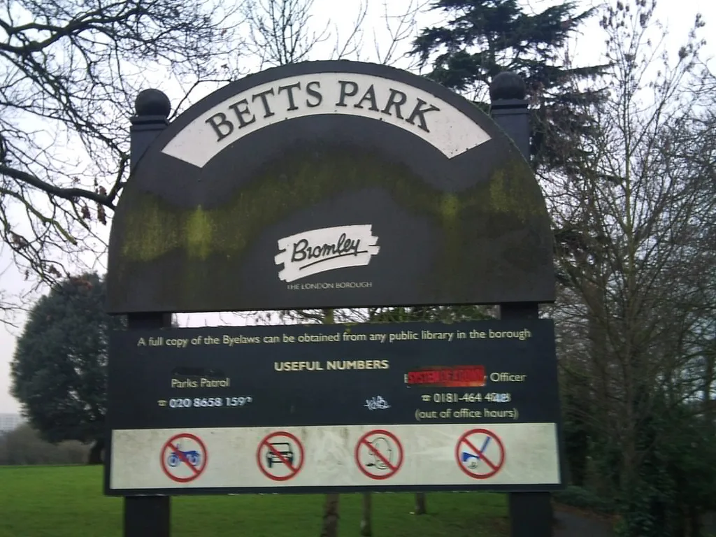
Betts Park
Country parks · 0.1 km

45-53
Hostels · 0.3 km

Anerley
Chapels · 0.6 km
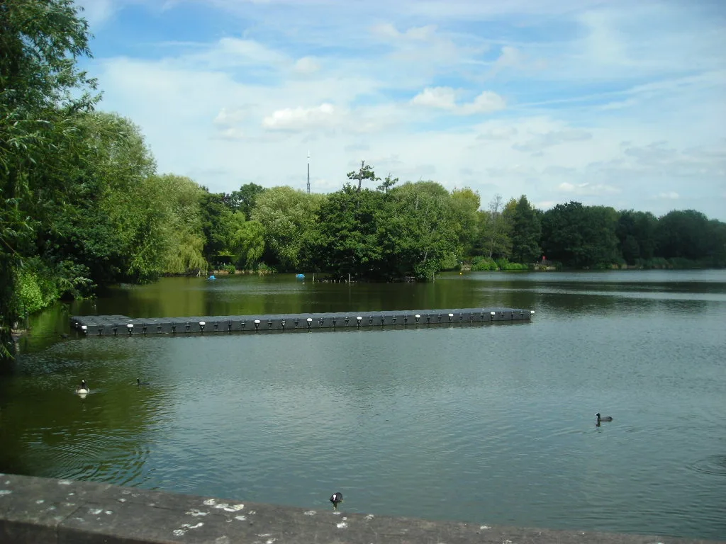
South Norwood Lake and Grounds
Parks · 0.7 km

Dinosaur
Public art & sculpture · 0.7 km

Labyrinthodon
Public art & sculpture · 0.8 km

Dicynodon
Public art & sculpture · 0.8 km

Ichthyosaur
Public art & sculpture · 0.9 km

Penge
Chapels · 0.9 km

Plesiosaur
Public art & sculpture · 0.9 km
Teleosaurus
Public art & sculpture · 0.9 km

Crystal Palace Dinosaurs
Parks · 0.9 km
Nearby
📷 5Country parks · London
Betts Park
Betts Park — public park in Penge, London Borough of Bromley, in London, England.
📷 5📷 5Flagship📷 10Parks · London
South Norwood Lake and Grounds
South Norwood Lake and Grounds — park in South Norwood, London, UK.
📷 5Public art & sculpture · London
Dinosaur
Dinosaur — a public art in england-london, United Kingdom.
📷 5Public art & sculpture · London
Labyrinthodon
Labyrinthodon — a public art in england-london, United Kingdom.
Where to eat & stay near Croydon Canal
Places to stay
📷 5 📷 5
📷 5 📷 5
📷 5Campsites · London
South London Scout Centre
South London Scout Centre — a campsite in england london.
 📷 7
📷 7Hotels · London
Hampton by Hilton London Croydon
Hampton by Hilton London Croydon — a hotel in england london. 3.5-star. Brand: Hampton.
 📷 7
📷 7Hotels · London
Holiday Inn Express London-Croydon
Holiday Inn Express London-Croydon — a hotel in england london. 3-star. Brand: Holiday Inn Express.
 📷 5
📷 5Hostels · London
Hootananny Brixton
Hootananny Brixton — a hostel in england london.
Places to eat & drink
 📷 5
📷 5 📷 5
📷 5 📷 5
📷 5 📷 5
📷 5Historic pubs · London
The Crown and Greyhound
The Crown and Greyhound in England London, United Kingdom.
 📷 5
📷 5 📷 7
📷 7More places in this region
 📷 5
📷 5Canals · London
Camden Market
Camden Market is a place of interest in the United Kingdom.
 📷 5
📷 5Canals · London
City Canal
City Canal — former canal in the London Borough of Tower Hamlets.
 📷 5
📷 5 📷 5
📷 5Frequently asked questions
- Where is Croydon Canal?
- Croydon Canal is in London, United Kingdom (postcode SE20 8TR), in the parish of Bromley, unparished area.
- What is Croydon Canal?
- Croydon Canal — former canal in Surrey.
- How do I get to Croydon Canal?
- The nearest railway station is Anerley, about 0.3 km away. The nearest town is Shortlands. Drivers can use postcode SE20 8TR.
- When was Croydon Canal built?
- Built or established in 1836.
- Is Croydon Canal free to visit?
- Yes, Croydon Canal is free to enter.
- How do I get to Croydon Canal?
- The nearest railway station is Anerley, about 0.3 km away. Drivers can navigate to postcode SE20 8TR.