
Towns & cities · South Wales
Cross Hands
Cross Hands — village in Carmarthenshire, Wales, United Kingdom.

Wikimedia Commons contributors — see linked file page for photographer and licence licence

Plan your visit
- Typical visit
- 3 h–6 h
- Nearest railway station
- Ammanford · 6.1 km
- Free entry
- Family-friendly
- Dog-friendly
Getting there & planning your visit
To visit Cross Hands, the nearest railway station is Ammanford, located 6.1 km away. Entry to the town is free, and it can be accessed using the postcode SA14 6NA.
About
Cross Hands is a town, city, village or settlement in the United Kingdom. Heritage designation: National Monuments of Wales. Wikidata describes it as: "village in Carmarthenshire, Wales, United Kingdom". Coordinates: 51.7952°, -4.0857°.
Photo gallery
See it from the streetimagery from 2024
Imagery © Mapillary contributors, CC BY-SA 4.0
From the Wikipedia article
Cross Hands is a village in Carmarthenshire, Wales, approximately 12 miles (19 kilometres) from Carmarthen. Cross Hands is notable for its Public Hall, erected in 1920 and designed by an unknown Italian designer in the classic Art Deco Style. Fully restored, the Public Hall has a fully functioning stage and cinema screen and is protected as a Grade II* listed building. During the 1960s and 1970s the village was a useful halfway stop for motorists from South East Wales driving to/from Pembrokeshire with the local chip shop adjacent to the village crossroads being a very popular facility. The continuous built up area which includes the villages of Cross Hands, Gorslas, Cefneithin and Pen-y-groes had a population of 5,717 in 2011. Cross Hands is a growing residential and employment area and includes the established Cross Hands Food Park to the south west of the A48. A new business park, the Cross Hands Business Park, is being developed to the northeast of the A48 which the local authority hopes will create 1,000 jobs. Gweunydd Glan-y-glasnant, a Site of Special Scientific Interest notable for its species-rich neutral grassland, is 3⁄4 mile (1.2 kilometres) southwest of Cross Hands.
Excerpt from Wikipedia under CC BY-SA 4.0. See the source article linked in Sources below.
Background
History
The village played an important role in the local coal industry, helping to house the many anthracite miners working in the nearby mines such as in Tumble. Norton & Co opened the Cross Hands Colliery in 1869. There were 859 employees at its peak in 1923. By 1962 the village's collieries had closed.
Sourced from Wikipedia under CC BY-SA 4.0.
- Coordinates
- 51.7952, -4.0857
- District
- Carmarthenshire
- Parish
- Llannon
- Postcode
- SA14 6NA
- Parliamentary constituency
- Llanelli
- Nearest railway station
- Ammanford — 6.1 km
Sources
- wikidata: Q1351146 (CC0)
- wikipedia: Cross Hands (CC BY-SA 4.0)
- commons: Cross Hands station site geograph-3361063-by-Ben-Brooksbank.jpg (CC BY-SA 4.0)
Other places nearby

Cross Hands Public Hall & Cinema
Theatres · 0.5 km
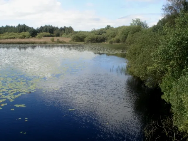
Llyn Llech Owain
Natural landmarks · 2.4 km

Tumble Welfare Hall
Theatres · 2.4 km

Castell y Rhingyll
Literary houses · 2.5 km

Pen y Bryn
Mountains & hills · 2.7 km

Pen-y-foel
Mountains & hills · 2.9 km

Castell y Garreg
Literary houses · 3.2 km

Banc y Llyn
Mountains & hills · 3.4 km

River View Touring Park
Campsites · 4.4 km

Pen-crug-uchaf
Mountains & hills · 4.5 km

Bird Hide
Viewpoints · 4.6 km

Church Of St Non
Historic churches · 4.9 km
Cross Hands is a charming town located in South Wales. Visitors can explore the historic Dryslwyn Castle, wander through the beautiful gardens at Golden Grove, and enjoy the scenic views around Lower Lliedi Reservoir.
At a glance
- Constituency
- Llanelli
- Top categories near here
Things to see in Cross Hands
86 attractions within 12 km — showing the 24 most editorially-significant. Full guide: things to do in Cross Hands →
 Flagship📷 3
Reservoirs & lochs · South Wales
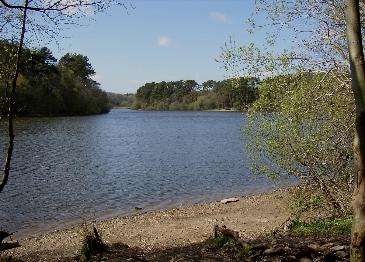
Lower Lliedi Reservoir
Lower Lliedi Reservoir — reservoir in Carmarthenshire, Wales, UK.
 📷 3
📷 3 📷 3
📷 3Chapels · South Wales
Capel Salem Including Forecourt Railings
Capel Salem Including Forecourt Railings — building in Llangyndeyrn, United Kingdom.
 📷 3
📷 3Forests & woodlands · South Wales
Carmel National Nature Reserve
Carmel National Nature Reserve is a forest or woodland in the United Kingdom.
 📷 3
📷 3Viewpoints · South Wales
Deer Park Viewing Platform
Deer Park Viewing Platform is a viewpoint in the United Kingdom.
 📷 5
📷 5Castles · South Wales
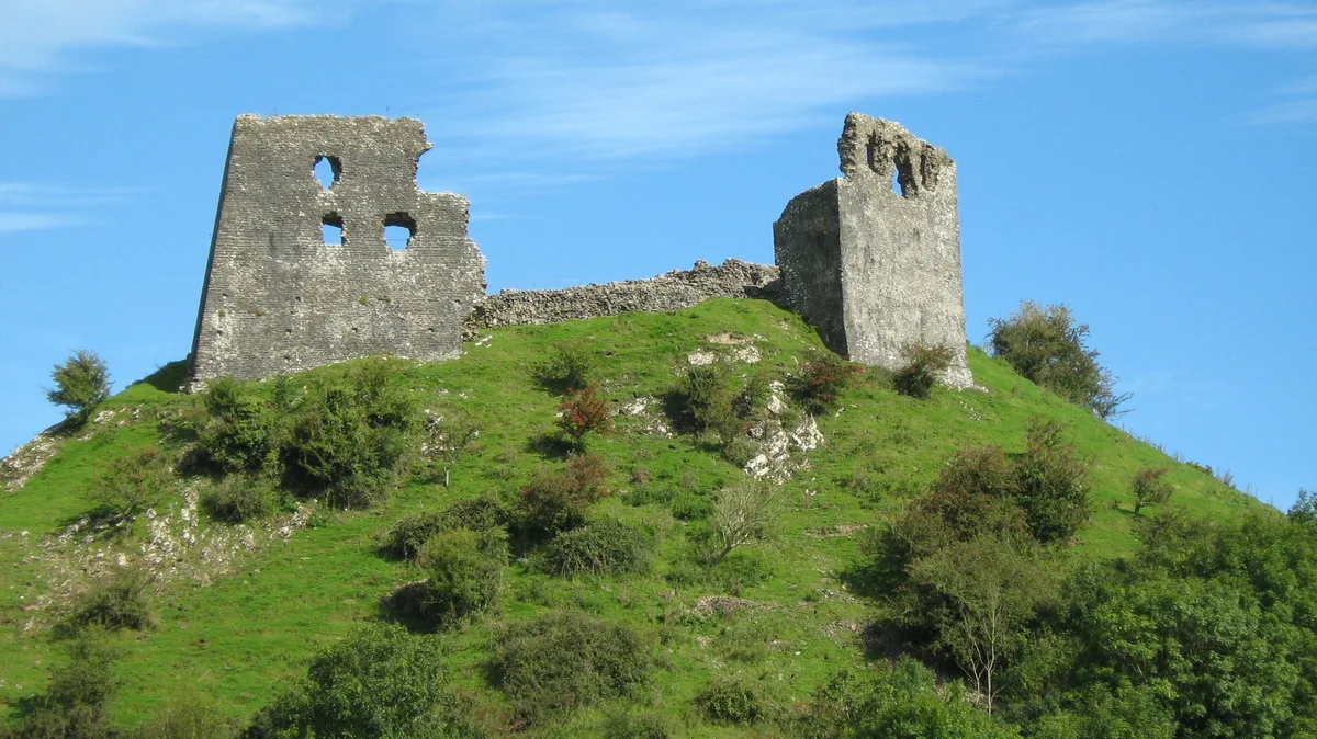
Dryslwyn Castle
Dryslwyn Castle — castle in Carmarthenshire, Wales.
 📷 4
📷 4Cemeteries · South Wales
Llangennech Cemetery
Llangennech Cemetery is a cemetery in the United Kingdom.
 📷 3📷 3
Natural landmarks · South Wales
Llyn Llech Owain
Llyn Llech Owain — lake in Carmarthenshire, Wales, UK.
 📷 3
📷 3Reservoirs & lochs · South Wales
Llyn Uchaf & Pwll yr Ardd
Llyn Uchaf & Pwll yr Ardd — reservoir in Llanarthney, Carmarthenshire, Wales, UK.
 📷 3
📷 3Quarries · South Wales
Pentregwenlais quarry
Pentregwenlais quarry — Slate quarry near Carmel, Wales, United Kingdom. Now in the Carmel National Nature Reserve.
 📷 3
📷 3Public art & sculpture · South Wales
Yr Arwr / The Hero
Yr Arwr / The Hero — Public artwork (statue).
📷 3📷 3Theatres · South Wales
Cross Hands Public Hall & Cinema
Cross Hands Public Hall & Cinema in Wales South, United Kingdom.
📷 4Gardens · South Wales
Golden Grove
Golden Grove — a garden in wales-south, United Kingdom.
 📷 4
📷 4 📷 3
📷 3 📷 3
📷 3Country parks · South Wales
Gelli Aur Country Park
Gelli Aur Country Park — a country park in South Wales, United Kingdom.
 📷 3
📷 3Historic houses · South Wales
Middleton House Site
Middleton House Site — a place in South Wales, United Kingdom.
 📷 3
📷 3Forests & woodlands · South Wales
Fairy Wood
Fairy Wood — a place in South Wales, United Kingdom.
 📷 3
📷 3Natural landmarks · South Wales
The Apothecary
The Apothecary — a place in South Wales, United Kingdom.
 📷 3
📷 3Gardens · South Wales
National Botanic Garden of Wales
National Botanic Garden of Wales — a garden in South Wales, United Kingdom.
 📷 3
📷 3Archaeological sites · South Wales
Original Site of Middleton House
Original Site of Middleton House — an archaeological site in South Wales, United Kingdom.
 📷 3
📷 3Historic houses · South Wales
Huntsman's Cottage (ruin)
Huntsman's Cottage (ruin) — a historic house in South Wales, United Kingdom.
Nearby
📷 3Theatres · South Wales
Cross Hands Public Hall & Cinema
Cross Hands Public Hall & Cinema in Wales South, United Kingdom.
📷 3Natural landmarks · South Wales
Llyn Llech Owain
Llyn Llech Owain — lake in Carmarthenshire, Wales, UK.
📷 3📷 5Literary houses · South Wales
Castell y Rhingyll
Castell y Rhingyll — a literary house museum in wales south.
📷 5📷 5Where to eat & stay near Cross Hands
Places to stay
📷 5 📷 5
📷 5 📷 5
📷 5Campsites · South Wales
Towy Valley Caravan Park
Towy Valley Caravan Park — a campsite in wales south.
 📷 5
📷 5Caravan parks · South Wales
Llwynifan Farm Caravan Park
Llwynifan Farm Caravan Park — a caravan park in wales south.
 📷 5
📷 5Caravan parks · South Wales
Caemawr Caravanning
Caemawr Caravanning — a caravan park in wales south.
 📷 5
📷 5Campsites · South Wales
Black Mountain Fishing and Camping
Black Mountain Fishing and Camping — a campsite in wales south.
Places to eat & drink
 📷 5
📷 5Restaurants · South Wales
The Bridge
The Bridge — a restaurant in wales south.
 📷 5
📷 5 📷 5
📷 5Restaurants · South Wales
The Cockleshell
The Cockleshell — a restaurant in wales south. Cuisine: british. Brand: Toby Carvery.
 📷 5
📷 5 📷 3
📷 3 📷 5
📷 5More towns in this region
 📷 4
📷 4Towns & cities · South Wales
Argoed
Argoed — village and community in Caerphilly County Borough, Wales.
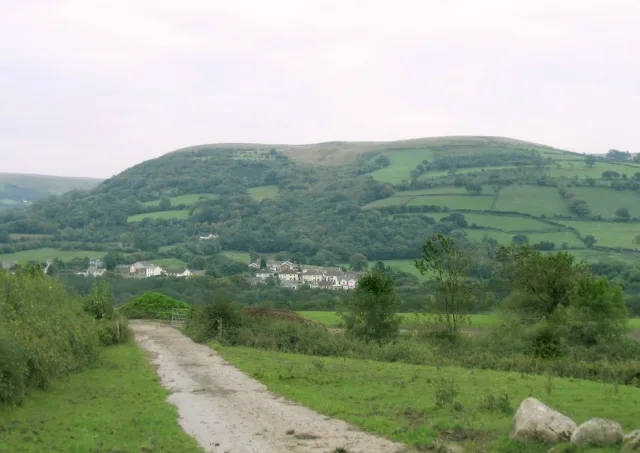 Flagship📷 3
Towns & cities · South Wales
Betws
Betws — village and community in Carmarthenshire, Wales.
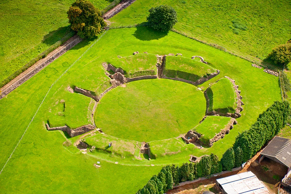 Flagship📷 5
Towns & cities · South Wales
Caerleon
Caerleon — village and community in Newport, Wales, UK.
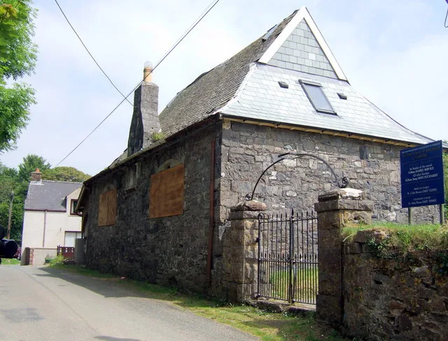 Flagship📷 3
Towns & cities · South Wales
Camrose
Camrose — village and community in Pembrokeshire, Wales, UK.
Frequently asked questions
- Where is Cross Hands?
- Cross Hands is in South Wales, United Kingdom (postcode SA14 6NA), in the parish of Llannon.
- What is Cross Hands?
- Cross Hands — village in Carmarthenshire, Wales, United Kingdom.
- How do I get to Cross Hands?
- The nearest railway station is Ammanford, about 6.1 km away. Drivers can use postcode SA14 6NA.
- Is Cross Hands a listed building?
- Cross Hands is officially recognised as National Monuments of Wales listed.
- Is Cross Hands free to visit?
- Yes, Cross Hands is free to enter.
- How do I get to Cross Hands?
- The nearest railway station is Ammanford, about 6.1 km away. Drivers can navigate to postcode SA14 6NA.