
Gardens · North Wales
Croesnewydd Hall
In or near Wrexham.
Croesnewydd Hall — a garden in wales-north, United Kingdom.

Richard Hoare — CC BY-SA 2.0 via Wikimedia Commons licence

Plan your visit
- Typical visit
- 1 h–2.5 h
- Best time of year
- Spring & summer (Apr–Sep)
- Nearest railway station
- Wrexham General · 0.9 km
- Dog-friendly
Getting there & planning your visit
To visit Croesnewydd Hall, the nearest railway station is Wrexham General, located 0.9 km away. The postcode for sat-nav is LL13 7YP. Entry details are not provided, so please check locally for accessibility information.
About
Croesnewydd Hall is a garden of interest in wales-north, United Kingdom — drawn from open-data sources for visitor reference. See the linked Wikipedia article for the full description.
Photo gallery
Heritage listing
http://cadwpublic-api.azurewebsites.net/reports/listedbuilding/FullReport?lang=en&id=1806
From Cadw under OGL v3.
Protected designations
- Site of Special Scientific Interest: River Dee (England) SSSI
Designations sourced from Natural England open data under OGL v3.
From the Wikipedia article
Croesnewydd Hall is a Grade II* listed building in Wrexham Technology Park, in the west of Wrexham, North Wales. It was built in 1696 as a small mansion, with a farmhouse, possibly to the designs of Peter Ellice. It was purchased and renovated in the 1980s by Clwyd County Council into offices as part of the technology park to develop hi-tech services to assist the neighbouring medical institutions, such as Wrexham Maelor Hospital. The brick building also houses a cafe in the adjoining glazed atrium.
Excerpt from Wikipedia under CC BY-SA 4.0. See the source article linked in Sources below.
Background
Description
Croesnewydd Hall is located in Wrexham Technology Park, within Offa, Wrexham. It serves as the centre-piece of the technology park. It is located next to Wrexham Maelor Hospital and other medical institutions such as a nerve centre. It was built in 1696 as a small mansion and a farmhouse, replacing an earlier building. It was possibly designed by Peter Ellice, and was the second building built on the site. In , it was extensively restored and extended. It was converted into offices, In 2016, a private medical practice located in the building and run by Grosvenor Medical, introduced 3D/4D pregnancy scanning. The School of Medical and Health Sciences of Bangor University is also connected to…
Sourced from Wikipedia under CC BY-SA 4.0.
- Coordinates
- 53.0484, -3.0142
- District
- Wrexham
- Parish
- Offa
- Postcode
- LL13 7YP
- Parliamentary constituency
- Wrexham
- Established
- 1696
- Nearest railway station
- Wrexham General — 0.9 km
- Official site
- www.wikiwand.com
Sources
- wikidata: Q17744562 (CC0)
- wikipedia: Croesnewydd Hall (CC BY-SA 4.0)
Other places nearby

Berse Drelincourt Church
Historic churches · 0.5 km

Turf Hotel
Historic pubs · 0.8 km

Wrexham University
Natural landmarks · 0.8 km

Wrexham General railway station
Heritage railway stations · 0.9 km

No.49 (Former Wrexham Infimary), Regent Street (S Side)
Gardens · 1.0 km
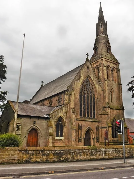
Wrexham Cathedral
Cathedrals · 1.0 km

No.1 Grosvenor Road (Nw Side)
Gardens · 1.0 km

Wrexham Archives
Museums · 1.1 km
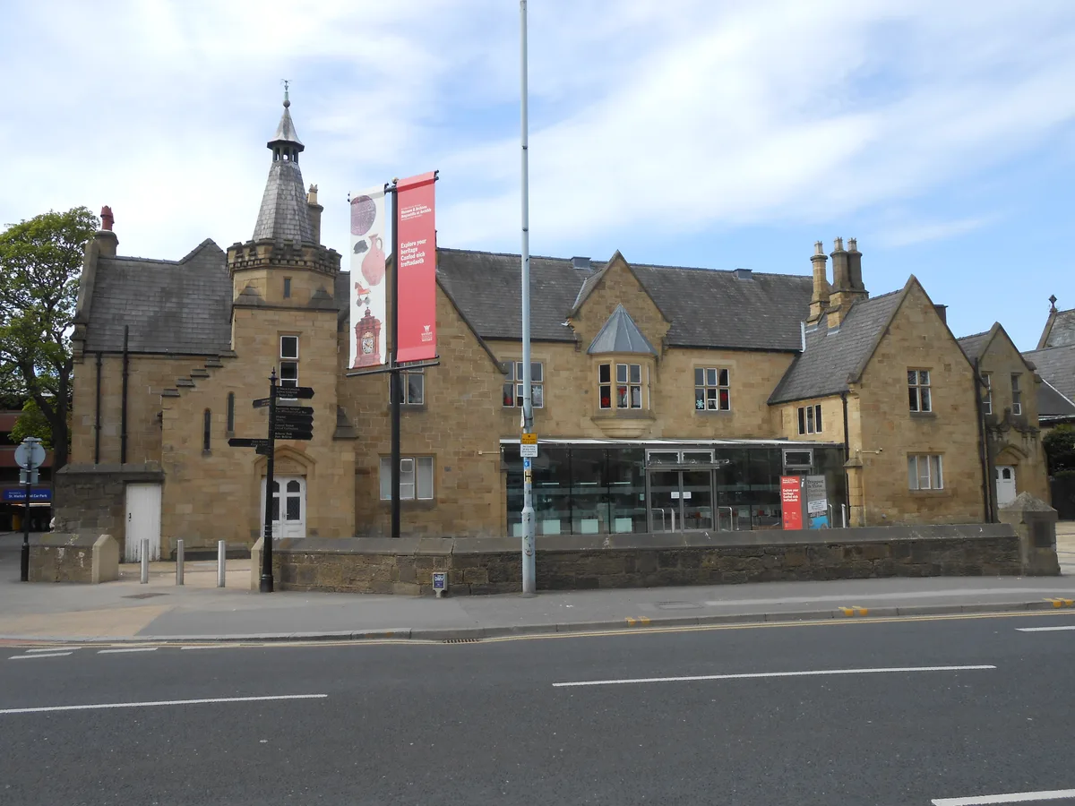
Wrexham County Borough Museum
Museums · 1.1 km
.png?width=1200)
Football Museum of Wales and Wrexham Museum
Museums · 1.1 km
No.2 Grosvenor Road (Se Side)
Gardens · 1.1 km
Wrexham Museum
Museums · 1.1 km
Nearby
📷 5Historic churches · North Wales
Berse Drelincourt Church
Berse Drelincourt Church — Grade II listed building-listed church in wales-north, United Kingdom.
📷 5📷 5Natural landmarks · North Wales
Wrexham University
Wrexham University — a university in wales-north, United Kingdom.
📷 5Heritage railway stations · North Wales
Wrexham General railway station
Wrexham General railway station — a Grade II*-listed railway station in wales-north, United Kingdom.
📷 3Gardens · North Wales
No.49 (Former Wrexham Infimary), Regent Street (S Side)
No.49 (Former Wrexham Infimary), Regent Street (S Side) — a garden in wales-north, United Kingdom.
📷 3Cathedrals · North Wales
Wrexham Cathedral
Wrexham Cathedral — Catholic cathedral in Wrexham, Wales.
Where to eat & stay near Croesnewydd Hall
Places to stay
 📷 5
📷 5Hotels · North Wales
The Wynnstay Arms Hotel - Marston's Inn
The Wynnstay Arms Hotel - Marston's Inn — a hotel in wales north. Brand: Marston's Inn.
 📷 4
📷 4Caravan parks · North Wales
Plassey Holiday Park
Plassey Holiday Park — a caravan park in wales north.
 📷 5
📷 5 📷 5
📷 5 📷 5
📷 5 📷 5
📷 5Caravan parks · North West England
Bank Farm Caravan Park
Bank Farm Caravan Park — a caravan park in wales north.
Places to eat & drink
📷 5 📷 7
📷 7 📷 5
📷 5 📷 5
📷 5Historic pubs · North Wales
Saith Seren
Saith Seren in Wales North, United Kingdom.
 📷 7
📷 7Restaurants · North Wales
The Crown Inn
The Crown Inn — a restaurant in wales north.
 📷 7
📷 7More gardens in this region
.jpg?width=1200) 📷 3
📷 3Gardens · North Wales
Bodrhyddan Hall
Bodrhyddan Hall — Grade I listed building in the United Kingdom.
 📷 4
📷 4 📷 3
📷 3 📷 3
📷 3Frequently asked questions
- Where is Croesnewydd Hall?
- Croesnewydd Hall is in North Wales, United Kingdom (postcode LL13 7YP), in the parish of Offa.
- What is Croesnewydd Hall?
- Croesnewydd Hall — a garden in wales-north, United Kingdom.
- How do I get to Croesnewydd Hall?
- The nearest railway station is Wrexham General, about 0.9 km away. Drivers can use postcode LL13 7YP.
- When was Croesnewydd Hall built?
- Built or established in 1696.
- Is Croesnewydd Hall a listed building?
- Croesnewydd Hall is officially recognised as II* listed.
- Is Croesnewydd Hall a protected site?
- Yes — Croesnewydd Hall is part of the River Dee (England) SSSI Site of Special Scientific Interest.
- How do I get to Croesnewydd Hall?
- The nearest railway station is Wrexham General, about 0.9 km away. Drivers can navigate to postcode LL13 7YP.