
Castles · West Midlands
Craven Arms
In or near Onibury.
Craven Arms in Wales Mid, United Kingdom.

Jaggery — CC BY-SA 2.0 via Wikimedia Commons licence

Plan your visit
- Typical visit
- 1.5 h–3 h
- Nearest railway station
- Craven Arms · 0.3 km
- Family-friendly
- Limited wheelchair access
Getting there & planning your visit
To visit Craven Arms Castle, the nearest railway station is Craven Arms, located 0.3 km away. The postcode for sat-nav is SY7 9BZ. Please note that wheelchair accessibility is limited.
About
Craven Arms is a place of interest in Wales Mid, United Kingdom — drawn from open-data sources for visitor reference. See the linked Wikipedia article for the full description.
Photo gallery
See it from the streetimagery from 2026
Imagery © Mapillary contributors, CC BY-SA 4.0
Protected designations
- Area of Outstanding Natural Beauty: Shropshire Hills
Designations sourced from Natural England open data under OGL v3.
From the Wikipedia article
Craven Arms is a market town and civil parish in Shropshire, England. It is sited on the A49 road and the Welsh Marches railway line, which link it north and south to the larger towns of Shrewsbury and Ludlow respectively. The town is enclosed to the north by the Shropshire Hills Area of Outstanding Natural Beauty and to the south is the fortified manor house of Stokesay Castle. Economically, the town serves the surrounding rural area, with a number of shops, estate agents, a supermarket, an abattoir and many commercial/light industrial businesses. It is also a visitor destination, being home or nearby to a number of attractions, and is a centre for visitors to the area of outstanding natural beauty. It describes itself as the Gateway to the Marches.
Excerpt from Wikipedia under CC BY-SA 4.0. See the source article linked in Sources below.
Background
History
Craven Arms is a relatively new town (for Shropshire), being only a small village called Newton on a map of 1695. The settlement grew when the railway station came during the mid to late 19th century, making it a railway town. Newton or Newtown is still the name for the southeastern part of the present day town, while the northern part is called Newington or New Inn (another small village which existed prior to the town). The town takes its name from the Craven Arms Hotel, which was situated on the junction of the A49 and B4368 roads, which in turn is named after the Earls of Craven (who owned nearby Stokesay Castle). The civil parish of Craven Arms was formed in 1987 by the merging of two…
Description
]] There are two main visitor attractions in the Craven Arms civil parish. In the town there is the Shropshire Hills Discovery Centre, a centre featuring exhibits about the county's geography; and Stokesay Castle which is a fortified manor house located within the parish, just south of the town. Stella Mitchell's Land of Lost Content Museum, a collection of 20th-century memorabilia, also stood in the town until closed in 2023.
Sourced from Wikipedia under CC BY-SA 4.0.
- Coordinates
- 52.4400, -2.8350
- District
- Shropshire
- Parish
- Craven Arms
- Postcode
- SY7 9BZ
- Parliamentary constituency
- South Shropshire
- Nearest railway station
- Craven Arms — 0.3 km
- Official site
- visitcravenarms.co.uk
Sources
- wikidata: Q869556 (CC0)
- wikipedia: Craven Arms (CC BY-SA 4.0)
Other places nearby

Sheep Tree
Public art & sculpture · 0.1 km
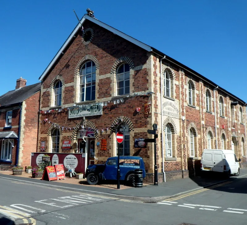
Land of Lost Content
Museums · 0.1 km

Craven Arms railway station
Heritage railway stations · 0.3 km

Shropshire Hills Discovery Centre
Science centres · 0.3 km

Mammoth Tusks
Public art & sculpture · 0.4 km
Craven Arms Stone
Memorials & monuments · 0.4 km

Tree Tunnel
Public art & sculpture · 0.6 km

Halford War Memorial Lych Gate
Memorials & monuments · 0.6 km
Halford
Historic churches · 0.7 km

Craven Arms War Memorial
Memorials & monuments · 1.0 km

Church of St John the Baptist, Stokesay
Castles · 1.1 km
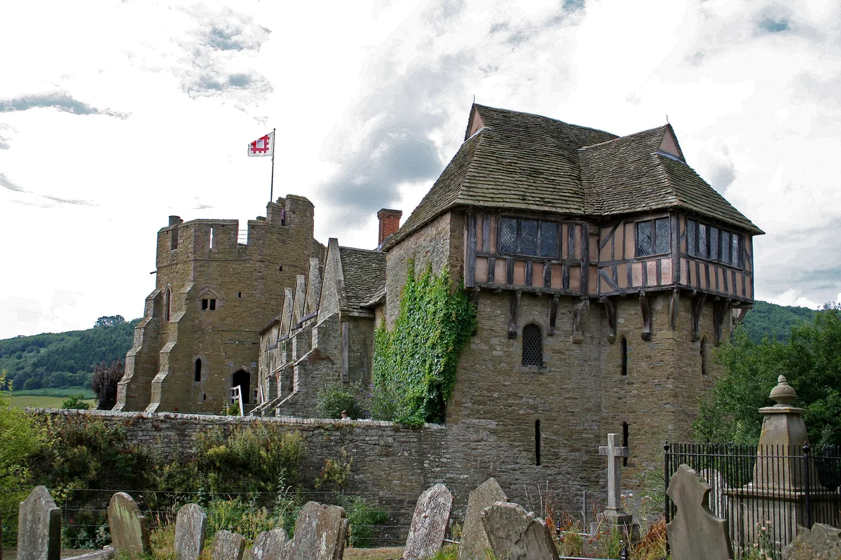
Stokesay Castle
Castles · 1.1 km
Nearby
📷 3Public art & sculpture · West Midlands
Sheep Tree
Sheep Tree — a public art in wales-mid, United Kingdom.
📷 3Museums · West Midlands
Land of Lost Content
Land of Lost Content — museum in Craven Arms, Shropshire.
📷 5Heritage railway stations · West Midlands
Craven Arms railway station
Craven Arms railway station in Wales Mid, United Kingdom.
📷 3Science centres · West Midlands
Shropshire Hills Discovery Centre
Shropshire Hills Discovery Centre — a other in wales-mid, United Kingdom.
📷 3Public art & sculpture · West Midlands
Mammoth Tusks
Mammoth Tusks — a public art in wales-mid, United Kingdom.
📷 3Memorials & monuments · West Midlands
Craven Arms Stone
Craven Arms Stone — a memorial in wales-mid, United Kingdom.
Where to eat & stay near Craven Arms
Places to stay
 📷 5
📷 5Campsites · West Midlands
Greenway Touring Park for Adults
Greenway Touring Park for Adults — a campsite in wales mid.
 📷 5
📷 5Campsites · West Midlands
Elsich Barn Campsite
Elsich Barn Campsite — a campsite in wales mid.
 📷 5
📷 5Campsites · West Midlands
Hamperley Camping
Hamperley Camping — a campsite in wales mid.
 📷 5
📷 5 📷 5
📷 5Campsites · West Midlands
Church Stretton Camp & Fish
Church Stretton Camp & Fish — a campsite in wales mid.
 📷 5
📷 5Campsites · West Midlands
Church Stretton Camp & Fish
Church Stretton Camp & Fish — a campsite in wales mid.
Places to eat & drink
 📷 4
📷 4 📷 7
📷 7Historic pubs · West Midlands
Clive Arms Public House
Clive Arms Public House in England West Midlands, United Kingdom.
 📷 5
📷 5 📷 7
📷 7Historic pubs · West Midlands
Swan Inn Public House
Swan Inn Public House in England West Midlands, United Kingdom.
 📷 5
📷 5 📷 5
📷 5More castles in this region
 📷 3
📷 3Castles · West Midlands
Chartley Castle
Chartley Castle is a castle in the United Kingdom.
 📷 3
📷 3Castles · West Midlands
Hoar Cross Hall
Hoar Cross Hall — a castle in england-east-midlands, United Kingdom.
 📷 3
📷 3Castles · West Midlands
Chartley Castle, Chartley Old Hall and associated water control systems including garden remains
Chartley Castle, Chartley Old Hall and associated water control systems including garden remains — scheduled monument-listed castle in england-east-midlands, United Kingdom.
 📷 5
📷 5Frequently asked questions
- Where is Craven Arms?
- Craven Arms is in Mid Wales, United Kingdom (postcode SY7 9BZ), in the parish of Craven Arms.
- What is Craven Arms?
- Craven Arms in Wales Mid, United Kingdom.
- How do I get to Craven Arms?
- The nearest railway station is Craven Arms, about 0.3 km away. Drivers can use postcode SY7 9BZ.
- Is Craven Arms a protected site?
- Yes — Craven Arms is part of the Shropshire Hills National Landscape (AONB).
- Does Craven Arms charge admission?
- Craven Arms typically charges admission. Check the official site for current ticket prices and opening hours.
- How do I get to Craven Arms?
- The nearest railway station is Craven Arms, about 0.3 km away. Drivers can navigate to postcode SY7 9BZ.