Islands · Scottish Highlands
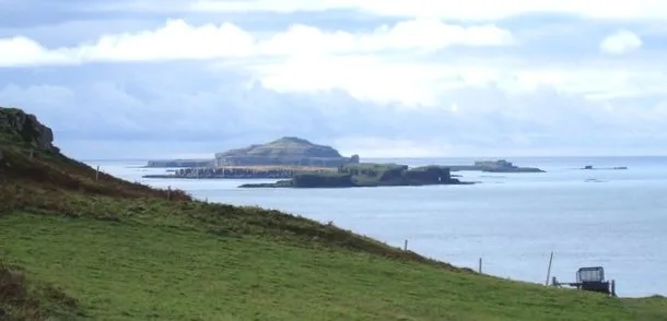
Craiglethy
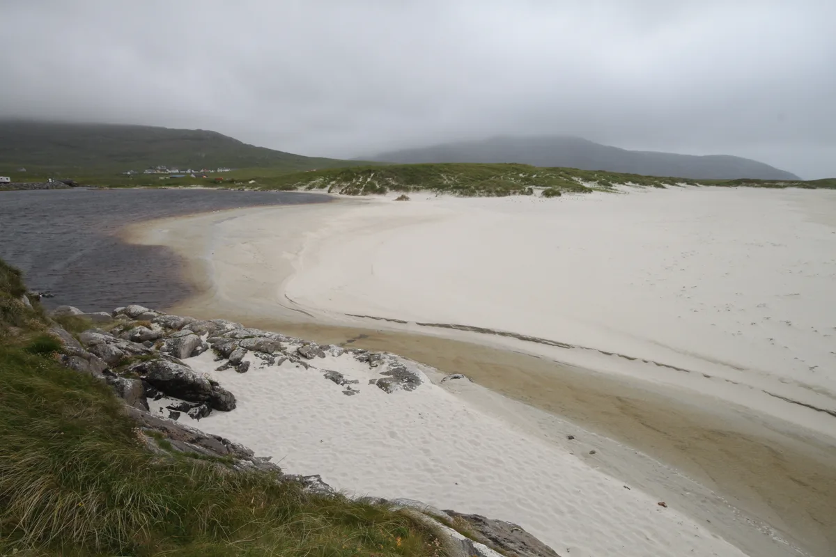
Craiglethy — island in Aberdeenshire, Scotland, UK.

Wikimedia Commons contributors — see linked file page for photographer and licence licence
Plan your visit
- Typical visit
- 4 h–12 h
- Nearest railway station
- Stonehaven · 5.2 km
- Free entry
- Dog-friendly
About
Craiglethy is a island in the United Kingdom. Wikidata describes it as: "island in Aberdeenshire, Scotland, UK". Coordinates: 56.9228°, -2.1967°.
Photo gallery
From the Wikipedia article
Craiglethy (Scottish Gaelic: Creag Liathach - meaning grey rock) is a small island/skerry off Fowlsheugh on the east coast of Aberdeenshire, Scotland in the North Sea. As it is part of Fowlsheugh, it is an SSSI, with many seabirds and seals living on it. It is also one of the few islands on the east coast of Scotland, along with Mugdrum Island and Inchcape, apart from the Islands of the Forth.
Excerpt from Wikipedia under CC BY-SA 4.0. See the source article linked in Sources below.
- Coordinates
- 56.9228, -2.1967
- District
- Aberdeenshire
- Postcode
- AB39 2TN
- Parliamentary constituency
- West Aberdeenshire and Kincardine
- Nearest railway station
- Stonehaven — 5.2 km
Sources
- wikidata: Q5181713 (CC0)
- wikipedia: Craiglethy (CC BY-SA 4.0)
- commons: Craiglethyskerry.jpg (CC BY-SA 4.0)
Other places nearby
Loading nearby places…
Nearby
📷 3Forests & woodlands · Scottish Highlands
RSPB Fowlsheugh
RSPB Fowlsheugh is a forest or woodland in the United Kingdom.
Vineyards · Scottish Highlands
Crawton
Crawton — a UK vineyard in scotland highlands, producing English or Welsh wine from cool-climate grape varieties.
Campsites · Scottish Highlands
Upper Cawton
Upper Cawton — a campsite in scotland highlands.
Caravan parks · Scottish Highlands
Cloak Caravan Park
Cloak Caravan Park — a caravan park in scotland highlands.
 📷 5
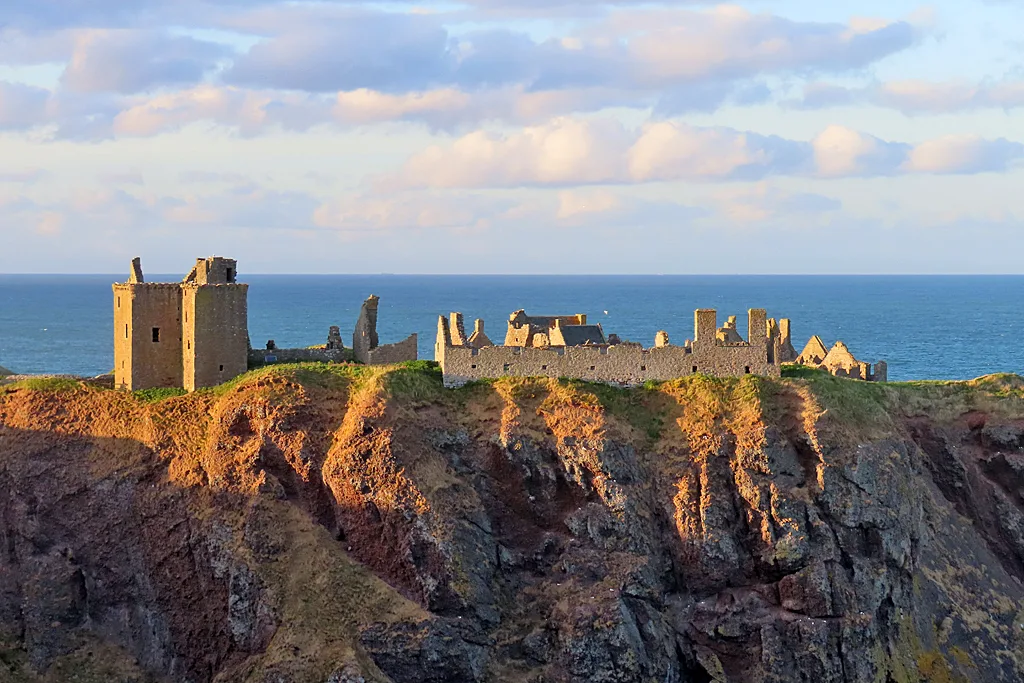
📷 5Castles · Scottish Highlands
Dunnottar Castle
Dunnottar Castle — ruined castle in Aberdeenshire, Scotland, UK.
 📷 5
📷 5Castles · Scottish Highlands
Dunnottar Castle quadrangle
Dunnottar Castle quadrangle — part of a Scheduled Monument-listed castle in scotland-highlands, United Kingdom.
More places in this region
 📷 5
📷 5Islands · Scottish Highlands
Bac Beag
Bac Beag — Scottish island, part of the Treshnish Isles in the Inner Hebrides.
 📷 5
📷 5Islands · Scottish Highlands
Bac Mòr
Bac Mòr — island in Argyll and Bute, Scotland, UK, one of the Treshnish Isles.
 Flagship📷 3
Islands · Scottish Highlands
Baleshare
Baleshare — flat tidal island in the Outer Hebrides, Scotland, UK.
 Flagship📷 5
Islands · Scottish Highlands
Barra
Barra — island in Outer Hebrides, Scotland, UK.
Frequently asked questions
- Where is Craiglethy?
- Craiglethy is in the Scottish Highlands, United Kingdom (postcode AB39 2TN).
- Is Craiglethy free to visit?
- Yes, Craiglethy is free to enter.
- How do I get to Craiglethy?
- The nearest railway station is Stonehaven, about 5.2 km away. Drivers can navigate to postcode AB39 2TN.