Mountains & hills · Central Scotland
Craigannet Hill
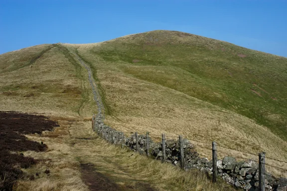
Craigannet Hill — a hill or mountain in scotland central.

Alan O'Dowd — CC BY-SA 2.0 via Wikimedia Commons licence
Plan your visit
- Typical visit
- 3 h–8 h
- Best time of year
- Late spring – early autumn (May–Oct)
About
A British hill or mountain, named on Ordnance Survey maps and walked by hill-baggers. Craigannet Hill is a named hill or mountain in scotland central, recorded in the GeoNames UK gazetteer. British landmarks of this type are typically marked on Ordnance Survey maps and recorded in the national gazetteer for cartographic and navigational reference. Coordinates and feature classification are sourced from the GeoNames open dataset.
Photo gallery
Place summary
Craigannet Hill is a mountain located in central Scotland. It offers a range of walking trails suited for various abilities, providing opportunities for outdoor activities and exploration of the surrounding landscape. Visitors can expect scenic views and a natural environment typical of the region.
AI-generated from the structured facts on this page (operator, designation, listing, era). Not a substitute for visiting.
- Coordinates
- 56.0391, -4.0693
Sources
- manual: geonames-12613042 (CC BY 4.0)
Other places nearby
Loading nearby places…
Nearby
📷 5Mountains & hills · Central Scotland
Craigannet Hill
Craigannet Hill — mountain in scotland central. Elevation: 352 m.
 📷 4
📷 4Reservoirs & lochs · Scottish Highlands
Duncarron
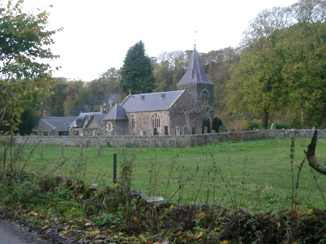
Duncarron in Scotland Islands, United Kingdom.
 📷 5
📷 5Mountain bike trails · Central Scotland
Pipedream
Pipedream — a mtb trail in scotland central.
📷 3Natural landmarks · Central Scotland
Duncarron Medieval Village
Duncarron Medieval Village — a other in scotland-central, United Kingdom.
 📷 5
📷 5Mountains & hills · Central Scotland
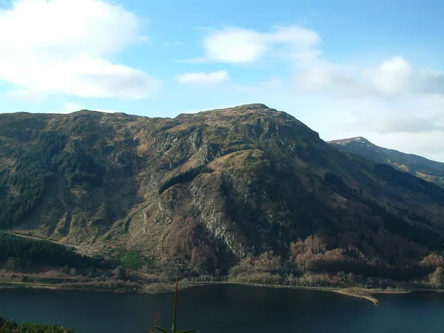
Cairnoch Hill
Cairnoch Hill — mountain in scotland central. Elevation: 413 m.
 📷 5
📷 5Mountains & hills · Central Scotland
Cairnoch Hill
Cairnoch Hill — a hill or mountain in scotland central.
Where to eat & stay near Craigannet Hill
Places to stay
 📷 5
📷 5Hotels · Central Scotland
DoubleTree by Hilton Glasgow Westerwood Spa & Golf Resort
DoubleTree by Hilton Glasgow Westerwood Spa & Golf Resort — a hotel in scotland central. 4-star. Brand: DoubleTree by Hilton.
 📷 5
📷 5Caravan parks · Central Scotland
Campsie Glen Holiday Park
Campsie Glen Holiday Park — a caravan park in scotland central.
 📷 5
📷 5Hostels · Central Scotland
Stirling Youth Hostel
Stirling Youth Hostel — a hostel in scotland central.
 📷 5
📷 5Hostels · Central Scotland
William Wallace Hotel
William Wallace Hotel — a hostel in scotland central.
 📷 5
📷 5Hotels · Central Scotland
Glenbervie House Hotel
Glenbervie House Hotel — a hotel in scotland central.
 📷 5
📷 5Campsites · Central Scotland
Blair Drummond Caravan Park
Blair Drummond Caravan Park — a campsite in scotland central.
Places to eat & drink
 📷 5
📷 5Historic pubs · Central Scotland
The Masonic Arms, 62 Main Street, Cumbernauld Village
The Masonic Arms, 62 Main Street, Cumbernauld Village in Scotland Central, United Kingdom.
 📷 5
📷 5Historic pubs · Scottish Highlands
Dennyloanhead
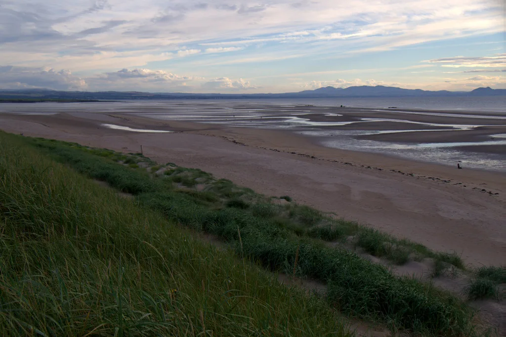
Dennyloanhead in Scotland Islands, United Kingdom.
 📷 4
📷 4Historic pubs · Scottish Highlands
The Gothenburg
The Gothenburg in Scotland Islands, United Kingdom.
 📷 5
📷 5Historic pubs · Central Scotland
Westerton Arms, 34 Henderson Street, Bridge of Allan
Westerton Arms, 34 Henderson Street, Bridge of Allan in Scotland Central, United Kingdom.
 📷 5
📷 5Historic pubs · Central Scotland
Johnstone Arms Hotel, 48 Stirling Street, Alva
Johnstone Arms Hotel, 48 Stirling Street, Alva in Scotland Central, United Kingdom.
 📷 5
📷 5Historic pubs · Central Scotland
Portland Arms Public House, 1169 Shettleston Road, Glasgow
Portland Arms Public House, 1169 Shettleston Road, Glasgow in Scotland Central, United Kingdom.
More mountains in this region
 📷 3
📷 3Mountains & hills · Central Scotland
Abbey Hill
Abbey Hill — Named summit at 278 m.
 📷 3
📷 3Mountains & hills · Central Scotland
Aberlady Bay
Aberlady Bay — bay on the north coast of East Lothian, Scotland, UK.
 📷 3
📷 3Mountains & hills · Central Scotland
Allermuir Hill
Allermuir Hill — Named summit at 493 m.
 📷 3
📷 3Mountains & hills · Central Scotland
Ardnandave
Ardnandave — Named summit at 715 m.
Frequently asked questions
- Where is Craigannet Hill?
- Craigannet Hill is in central Scotland, United Kingdom.
- What is Craigannet Hill?
- Craigannet Hill — a hill or mountain in scotland central.
- How do I get to Craigannet Hill?
- Its coordinates are 56.0391°, -4.0693°.