
Mountains & hills · North West England
Cowpe Lowe
In or near Holcombe.
Cowpe Lowe — mountain in england north west. Elevation: 438 m.

thejackrustles — CC BY-SA 2.0 via Wikimedia Commons licence

Plan your visit
- Typical visit
- 3 h–8 h
- Best time of year
- Late spring – early autumn (May–Oct)
- Nearest railway station
- Rawtenstall · 2.4 km
- Dog-friendly
About
Cowpe Lowe is a mountain located in england north west. Elevation: 438 m. A named British peak recorded in OpenStreetMap. Peaks are typically named on Ordnance Survey 1:50k mapping.
Photo gallery
Place summary
Cowpe Lowe is a mountain located in North-West England. It is known for its rugged terrain and scenic views, making it a notable feature in the local landscape. The area offers opportunities for walking and outdoor activities, appealing to those interested in exploring natural environments.
AI-generated from the structured facts on this page (operator, designation, listing, era). Not a substitute for visiting.
- Coordinates
- 53.6819, -2.2688
- County
- Lancashire
- District
- Rossendale
- Parish
- Rossendale, unparished area
- Postcode
- BL0 0GQ
- Parliamentary constituency
- Rossendale and Darwen
- Nearest railway station
- Rawtenstall — 2.4 km
Sources
- osm: n30099971 (ODbL)
Other places nearby

Cowpe Lowe
Mountains & hills · 0.0 km

Waugh's Well
Memorials & monuments · 1.2 km

Borough of Rossendale
Museums · 1.2 km

Boo Theatre
Open-air theatres · 1.5 km

Bamboo Theatre
Theatres · 1.5 km

Waterfoot, Lancashire
Museums · 1.6 km

Whittle Hill
Mountains & hills · 1.7 km

Whittle Pike
Mountains & hills · 1.7 km
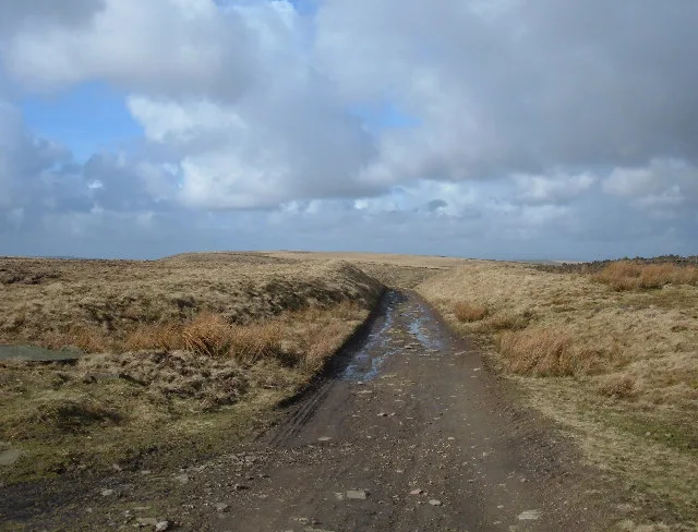
Hail Storm Hill
Mountains & hills · 1.7 km
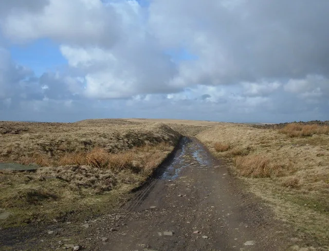
Hail Storm Hill
Natural landmarks · 1.8 km

Harrier Hound Monument To Methusalah Yates In Churchyard To South Of Church Of St. Nicholas With St. John
Memorials & monuments · 2.0 km
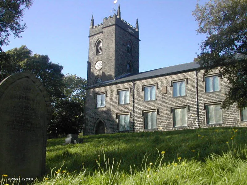
St Nicholas' Church, Newchurch
Historic churches · 2.0 km
Nearby
📷 3Mountains & hills · North West England
Cowpe Lowe
Cowpe Lowe — a mountain in england-north-west, United Kingdom, 440 m.
📷 3Memorials & monuments · North West England
Waugh's Well
Waugh's Well — a memorial in North West England, United Kingdom.
📷 5Museums · North West England
Borough of Rossendale
Rossendale () is a local government district with borough status in Lancashire, England. Its council is based in Bacup and its largest town is Rawtenstall. It also includes the towns of Haslingden and
📷 5Open-air theatres · North West England
Boo Theatre
arts centre and theatre in Rossendale, England; a converted Victorian liberal club building
📷 3📷 5Museums · North West England
Waterfoot, Lancashire
Waterfoot, Lancashire — a museum in england-north-west, United Kingdom.
Where to eat & stay near Cowpe Lowe
Places to stay
 📷 5
Campsites · North West England
The Paddock Campsite
The Paddock Campsite — a campsite in england north west.
 📷 7
Hotels · North West England
Red Hall Hotel
Red Hall Hotel — a hotel in england north west.
 📷 5
Campsites · North West England
Burrs Country Park Caravan Club
Burrs Country Park Caravan Club — a campsite in england north west.
 📷 5
Campsites · North West England
Ashworth Valley Scout Camp Site
Ashworth Valley Scout Camp Site — a campsite in england north west.
 📷 5
Caravan parks · North West England
Gelder Clough
Gelder Clough — a caravan park in england north west.
 📷 5
Caravan parks · North West England
Walleach Caravan Park
Walleach Caravan Park — a caravan park in england north west.
Places to eat & drink
 📷 7
Historic pubs · North West England
Shoulder of Mutton
Shoulder of Mutton in England North West, United Kingdom.
 📷 5
 📷 7
Historic pubs · North West England
Old White Lion
Old White Lion in England North West, United Kingdom.
 📷 7
Historic pubs · North West England
The Baum
The Baum in England North West, United Kingdom.
 📷 5
 📷 5
More mountains in this region
 📷 5
Mountains & hills · North West England
Appleton Park
Appleton Park — a hill or mountain in england west midlands.
 📷 5
Mountains & hills · North West England
High Warren
High Warren — mountain in england west midlands. Elevation: 105 m.
 📷 5
Mountains & hills · North West England
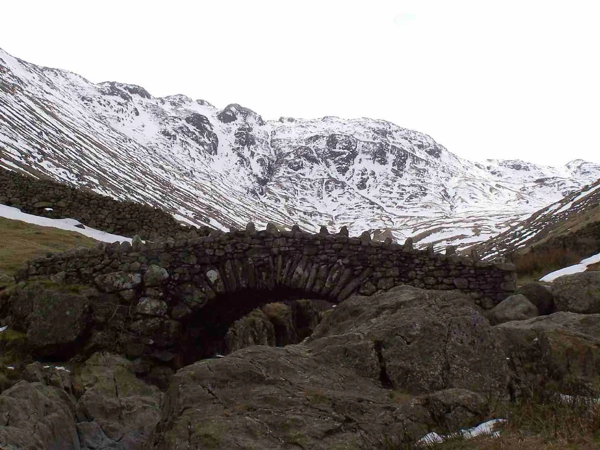
Alderley Edge
Alderley Edge — mountain in england west midlands. Elevation: 194 m.
 📷 3
Frequently asked questions
- Where is Cowpe Lowe?
- Cowpe Lowe is in Lancashire, North-West England, United Kingdom (postcode BL0 0GQ), in the parish of Rossendale, unparished area.
- What is Cowpe Lowe?
- Cowpe Lowe — mountain in england north west. Elevation: 438 m.
- How do I get to Cowpe Lowe?
- The nearest railway station is Rawtenstall, about 2.4 km away. The nearest town is Holcombe. Drivers can use postcode BL0 0GQ.
- How do I get to Cowpe Lowe?
- The nearest railway station is Rawtenstall, about 2.4 km away. Drivers can navigate to postcode BL0 0GQ.