Historic bridges · Scottish Highlands
Cowie Bridge
In or near Newtonhill.
Cowie Bridge — category B listed building-listed bridge in scotland-highlands, United Kingdom.

Alan Findlay — CC BY-SA 2.0 via Wikimedia Commons licence
Plan your visit
- Typical visit
- 15 min–30 min
- Nearest railway station
- Stonehaven · 1.0 km
- Free entry
- Dog-friendly
Getting there & planning your visit
Cowie Bridge is located in the Scottish Highlands, with the nearest railway station being Stonehaven, approximately 1 km away. Entry to the bridge is free. The postcode for sat-nav is AB39 2AN.
About
Cowie Bridge is a category B listed building-listed bridge in scotland-highlands, United Kingdom, registered on the Historic Environment Scotland register (entry LB41613). Listed status protects buildings and structures of special architectural or historic interest. See the linked Wikipedia article for further details.
Photo gallery
See it from the streetimagery from 2024
Imagery © Mapillary contributors, CC BY-SA 4.0
Heritage listing
Cowie Bridge is a roadway bridge which carries the B979 across the mouth of the Cowie Water in Stonehaven, Aberdeenshire, Scotland. The bridge comprises 3 segmental arches with hoodmoulds and V-cutwaters on bull-faced bases. It was originally a single-width bridge but was later extended to be wide enough for two road lanes and footways at each side. Historically, the area to the North of the Cowie Bridge site has been an old fishing village known as Cowie Village. Between the Cowie Bridge and the North Sea, a newer pedestrian bridge is in place, which also supports a new pipeline structure.
From Historic Environment Scotland under OGL v3.
Official information
Stonehaven Open Air Pool is the UK's only art deco Olympic sized sea water lido, opened in 1934. Visitors can enjoy a heated pool, a paddling pool for younger children, and various fun sessions including lane swimming and moonlight swims.
From the Wikipedia article
Cowie Bridge is a roadway bridge which carries the B979 across the mouth of the Cowie Water in Stonehaven, Aberdeenshire, Scotland. The bridge comprises 3 segmental arches with hoodmoulds and V-cutwaters on bull-faced bases. It was originally a single-width bridge but was later extended to be wide enough for two road lanes and footways at each side. Historically, the area to the North of the Cowie Bridge site has been an old fishing village known as Cowie Village. Between the Cowie Bridge and the North Sea, a newer pedestrian bridge is in place, which also supports a new pipeline structure. The site of Cowie Bridge is approximately the point of the southern terminus of the Causey Mounth trackway, which was the only available medieval route crossing the coastal Grampian Mountains northerly by way of Muchalls Castle and Gillybrands.
Excerpt from Wikipedia under CC BY-SA 4.0. See the source article linked in Sources below.
- Coordinates
- 56.9678, -2.2093
- District
- Aberdeenshire
- Postcode
- AB39 2AN
- Parliamentary constituency
- West Aberdeenshire and Kincardine
- Established
- 1827
- Nearest railway station
- Stonehaven — 1 km
- Opening
- Open for the summer season until early September
- Official site
- www.stonehavenopenairpool.co.uk
Sources
- wikidata: Q5179719 (CC0)
- wikipedia: Cowie Bridge (CC BY-SA 4.0)
Other places nearby

Stonehaven Open Air Pool
Natural landmarks · 0.4 km

Market Buildings, Market Square, Stonehaven
Mines & mining heritage · 0.4 km

Stonehaven
Castles · 0.4 km

Stonehaven Queen Elizabeth Park Caravan Club Site
Caravan parks · 0.5 km
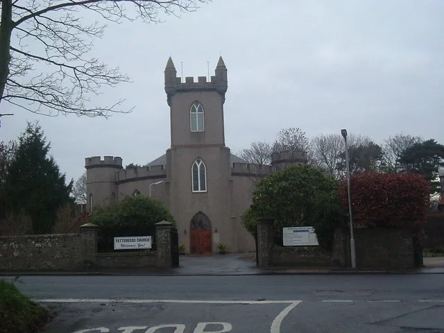
Fetteresso Church
Historic churches · 0.5 km

Belvedere Hotel
Hotels · 0.5 km

Arduthie School War Memorial
Memorials & monuments · 0.5 km
Mackie Academy War Memorial
Memorials & monuments · 0.5 km

Stonehaven Bay
Natural landmarks · 0.6 km

St James The Great Episcopal Church, Arbuthnott Street, Stonehaven
Historic churches · 0.6 km

South Church, Cameron Street, Stonehaven
Historic churches · 0.6 km
St Bridget's Hall, Dunnottar Avenue, Stonehaven
Historic churches · 0.7 km
Nearby
📷 3Natural landmarks · Scottish Highlands
Stonehaven Open Air Pool
Stonehaven Open Air Pool — a other in scotland-highlands, United Kingdom.
📷 3Mines & mining heritage · Scottish Highlands
Market Buildings, Market Square, Stonehaven
Market Buildings, Market Square, Stonehaven — market in Stonehaven, Aberdeenshire, Scotland, UK.
📷 5📷 5Caravan parks · Scottish Highlands
Stonehaven Queen Elizabeth Park Caravan Club Site
Stonehaven Queen Elizabeth Park Caravan Club Site — a caravan park in scotland highlands.
📷 3Historic churches · Scottish Highlands
Fetteresso Church
Fetteresso Church — church building in Aberdeenshire, Scotland, UK.
📷 7Where to eat & stay near Cowie Bridge
Places to stay
📷 5Caravan parks · Scottish Highlands
Stonehaven Queen Elizabeth Park Caravan Club Site
Stonehaven Queen Elizabeth Park Caravan Club Site — a caravan park in scotland highlands.
📷 7 📷 7
📷 7Hotels · Scottish Highlands
The Ship Inn
The Ship Inn — a hotel in scotland highlands.
 📷 7
📷 7 📷 5
📷 5 📷 5
📷 5Caravan parks · Scottish Highlands
Cloak Caravan Park
Cloak Caravan Park — a caravan park in scotland highlands.
Places to eat & drink
 📷 5
📷 5Historic pubs · Scottish Highlands
Lairhillock Inn
Lairhillock Inn in Scotland Highlands, United Kingdom.
 📷 7
📷 7Historic pubs · Scottish Highlands
Burnett Arms Hotel, High Street, Banchory
Burnett Arms Hotel, High Street, Banchory in Scotland Highlands, United Kingdom.
 📷 5
📷 5Historic pubs · Scottish Highlands
Public House, Alford Place, Aberdeen
Public House, Alford Place, Aberdeen in Scotland Highlands, United Kingdom.
 📷 5
📷 5Historic pubs · Scottish Highlands
10 Bon-accord Square, Aberdeen
10 Bon-accord Square, Aberdeen in Scotland Highlands, United Kingdom.
 📷 7
📷 7Historic pubs · Scottish Highlands
The Star And Garter, 6 Crown Street, Aberdeen
The Star And Garter, 6 Crown Street, Aberdeen in Scotland Highlands, United Kingdom.
 📷 5
📷 5Historic pubs · Scottish Highlands
3 Golden Square, Aberdeen
3 Golden Square, Aberdeen in Scotland Highlands, United Kingdom.
More bridges in this region
 📷 3
📷 3Historic bridges · Scottish Highlands
Aberdeen to Inverness Line
Aberdeen to Inverness Line is a historic bridge in the United Kingdom.
 📷 3
📷 3Historic bridges · Scottish Highlands
Aberfeldy Footbridge
Aberfeldy Footbridge is a historic bridge in the United Kingdom.
.jpg?width=1200) 📷 3
📷 3Historic bridges · Scottish Highlands
Achriesgill Bridge
Achriesgill Bridge is a historic bridge in the United Kingdom.
 📷 4
📷 4Historic bridges · Scottish Highlands
Alexandra Bridge
Alexandra Bridge is a historic bridge in the United Kingdom.
Frequently asked questions
- Where is Cowie Bridge?
- Cowie Bridge is in the Scottish Highlands, United Kingdom (postcode AB39 2AN).
- What is Cowie Bridge?
- Cowie Bridge — category B listed building-listed bridge in scotland-highlands, United Kingdom.
- How do I get to Cowie Bridge?
- The nearest railway station is Stonehaven, about 1.0 km away. Drivers can use postcode AB39 2AN.
- When was Cowie Bridge built?
- Built or established in 1827.
- Who owns Cowie Bridge?
- Cowie Bridge is owned by | maint =.
- Is Cowie Bridge a listed building?
- Cowie Bridge is officially recognised as category B listed building listed.
- Is Cowie Bridge free to visit?
- Yes, Cowie Bridge is free to enter.
- How do I get to Cowie Bridge?
- The nearest railway station is Stonehaven, about 1.0 km away. Drivers can navigate to postcode AB39 2AN.