
Historic bridges · West Midlands
Cow Bridge
In or near Heaton.
Cow Bridge — Grade II listed building-listed bridge in england-west-midlands, United Kingdom.

Mike Bardill — CC BY-SA 2.0 via Wikimedia Commons licence

Plan your visit
- Typical visit
- 15 min–30 min
- Nearest railway station
- Congleton · 4.4 km
- Free entry
- Dog-friendly
Getting there & planning your visit
To visit Cow Bridge, the nearest railway station is Congleton, located 4.4 km away. Entry is free, and the postcode for sat-nav is CW12 2PE.
About
Cow Bridge is a Grade II listed building-listed bridge in england-west-midlands, United Kingdom, registered on the National Heritage List for England (NHLE entry 1159403). Listed status protects buildings and structures of special architectural or historic interest. See the linked Wikipedia article for further details.
Photo gallery
Heritage listing
Cow Bridge is a historic bridge in Long Preston, a village in North Yorkshire, in England. The bridge crosses the River Ribble, carrying the B6478 road and the Pennine Bridleway. A bridge on the site was first recorded in 1639, when it was reported as being ruinous, and it was again reported as being in poor condition in 1752. The current bridge is probably late 18th century, while the parapet was rebuilt in the 19th century. It was grade II listed in 1987. It is in stone, and consists of a single segmental arch over the river, and three smaller flanking segmental arches on each side. Between the arches are pilasters, above them is a string course, and the parapet is raked.
From the Historic England List Entry under OGL v3.
From the Wikipedia article
Cow Bridge is a historic bridge in Long Preston, a village in North Yorkshire, in England. The bridge crosses the River Ribble, carrying the B6478 road and the Pennine Bridleway. A bridge on the site was first recorded in 1639, when it was reported as being ruinous, and it was again reported as being in poor condition in 1752. The current bridge is probably late 18th century, while the parapet was rebuilt in the 19th century. It was grade II listed in 1987. It is in stone, and consists of a single segmental arch over the river, and three smaller flanking segmental arches on each side. Between the arches are pilasters, above them is a string course, and the parapet is raked. There are many mason's marks and other symbols carved into the stones.
Excerpt from Wikipedia under CC BY-SA 4.0. See the source article linked in Sources below.
- Coordinates
- 53.1925, -2.1616
- District
- Cheshire East
- Parish
- North Rode
- Postcode
- CW12 2PE
- Parliamentary constituency
- Macclesfield
- Nearest railway station
- Congleton — 4.4 km
Sources
- wikidata: Q26453113 (CC0)
- wikipedia: Cow Bridge (CC BY-SA 4.0)
Other places nearby
Colleymill Bridge
Historic bridges · 0.4 km

North Rode
Villages · 0.5 km
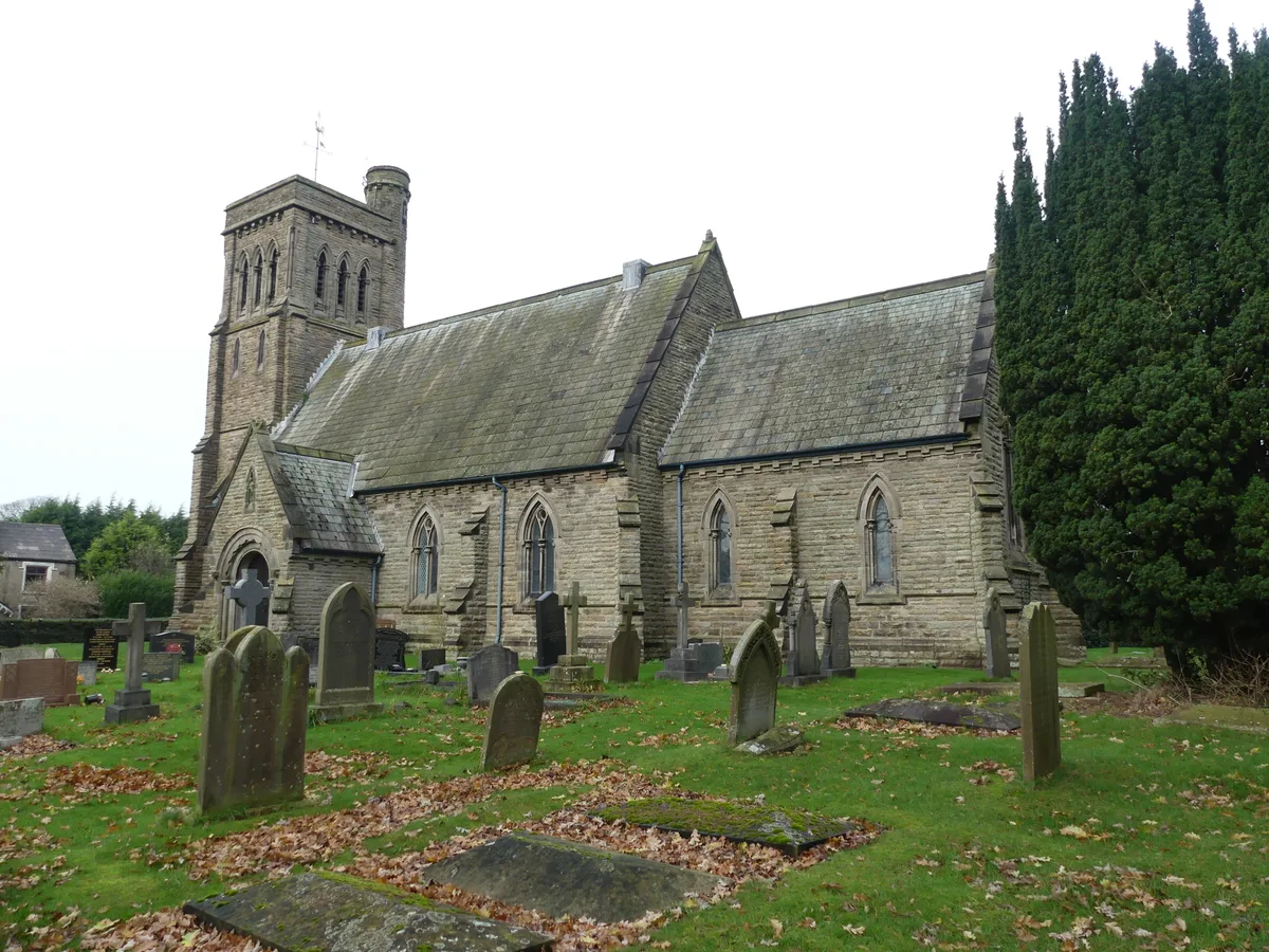
St Michael's Church, North Rode
Historic churches · 0.5 km

North Rode Manor
Historic houses · 0.9 km

Macclesfield Canal Bridge Number 62 at SJ 8895 6515
Historic bridges · 1.1 km
Macclesfield Canal Bridge Number 61 at SJ 8899 6512
Historic bridges · 1.1 km

Macclesfield Canal Bridge Number 59 at SJ 8987 6522
Historic bridges · 1.1 km

Bosley Lock Number 4 and lock pound
Canal locks · 1.1 km

Bosley Lock Number 5 and lock pound
Canal locks · 1.1 km

Bosley Lock Number 3 and lock pound
Canal locks · 1.1 km

Bosley Lock Number 2 and lock pound
Canal locks · 1.2 km

Bosley Lock Number 7 and lock pound
Canal locks · 1.3 km
Nearby
📷 3Historic bridges · West Midlands
Colleymill Bridge
Colleymill Bridge — scheduled monument-listed bridge in england-west-midlands, United Kingdom.
📷 5📷 3Historic churches · West Midlands
St Michael's Church, North Rode
St Michael's Church, North Rode — grade II listed church in North Rode, Cheshire East, United Kingdom.
📷 4Historic houses · West Midlands
North Rode Manor
North Rode Manor — a Grade II-listed historic house in england-west-midlands, United Kingdom.
📷 3Historic bridges · West Midlands
Macclesfield Canal Bridge Number 62 at SJ 8895 6515
Macclesfield Canal Bridge Number 62 at SJ 8895 6515 — Grade II listed building-listed bridge in england-west-midlands, United Kingdom.
📷 3Historic bridges · West Midlands
Macclesfield Canal Bridge Number 61 at SJ 8899 6512
Macclesfield Canal Bridge Number 61 at SJ 8899 6512 — Grade II listed building-listed bridge in england-west-midlands, United Kingdom.
Where to eat & stay near Cow Bridge
Places to stay
 📷 5
📷 5Caravan parks · West Midlands
Stoneyfold Caravan Park
Stoneyfold Caravan Park — a caravan park in england west midlands.
 📷 5
📷 5Caravan parks · North West England
River Dane Holiday Park
River Dane Holiday Park — a caravan park in england west midlands.
 📷 5
📷 5Campsites · West Midlands
Barnswood Scout Camp Site
Barnswood Scout Camp Site — a campsite in england west midlands.
 📷 5
📷 5Caravan parks · West Midlands
Sky View CAMC Certificated Location
Sky View CAMC Certificated Location — a caravan park in england west midlands.
 📷 5
📷 5Caravan parks · North West England
Capesthorne Caravan Park
Capesthorne Caravan Park — a caravan park in england west midlands.
 📷 5
📷 5Campsites · West Midlands
Castle Camping
Castle Camping — a campsite in england west midlands.
Places to eat & drink
 📷 5
📷 5Historic pubs · North West England
Harrington Arms
Harrington Arms in England North West, United Kingdom.
 📷 3
📷 3Historic pubs · North West England
Olde Kings Arms
Olde Kings Arms — Historic pub — listed building or notable heritage status.
 📷 5
📷 5Historic pubs · North West England
The Counting House
The Counting House in England North West, United Kingdom.
 📷 5
📷 5Restaurants · West Midlands
Sutton Hall
Sutton Hall — a restaurant in england west midlands.
 📷 5
📷 5Historic pubs · North West England
Lord Byron Public House
Lord Byron Public House in England North West, United Kingdom.
 📷 5
📷 5Historic pubs · North West England
The Castle, Macclesfield
The Castle, Macclesfield in England North West, United Kingdom.
More bridges in this region
 📷 3
📷 3Historic bridges · West Midlands
Wolseley Bridge
Wolseley Bridge is a historic bridge in the United Kingdom.
 📷 3
📷 3Historic bridges · West Midlands
Bridge, Gatepiers, Walls And Ha Ha South Of Blithfield Hall
Bridge, Gatepiers, Walls And Ha Ha South Of Blithfield Hall — Grade II listed building-listed bridge in england-east-midlands, United Kingdom.
 📷 3
📷 3Historic bridges · West Midlands
Bridge Over River Swarbourn At West End Of Town Hill
Bridge Over River Swarbourn At West End Of Town Hill — Grade II listed building-listed bridge in england-east-midlands, United Kingdom.
 📷 3
📷 3Historic bridges · West Midlands
Viaduct over Trent and Mersey Canal at SK 0485 1780
Viaduct over Trent and Mersey Canal at SK 0485 1780 — Grade II listed building-listed bridge in england-east-midlands, United Kingdom.
Frequently asked questions
- Where is Cow Bridge?
- Cow Bridge is in the West Midlands, United Kingdom (postcode CW12 2PE), in the parish of North Rode.
- What is Cow Bridge?
- Cow Bridge — Grade II listed building-listed bridge in england-west-midlands, United Kingdom.
- How do I get to Cow Bridge?
- The nearest railway station is Congleton, about 4.4 km away. The nearest town is Heaton. Drivers can use postcode CW12 2PE.
- Is Cow Bridge a listed building?
- Cow Bridge is officially recognised as Grade II listed building listed.
- Is Cow Bridge free to visit?
- Yes, Cow Bridge is free to enter.
- How do I get to Cow Bridge?
- The nearest railway station is Congleton, about 4.4 km away. Drivers can navigate to postcode CW12 2PE.